Golden Trout
Wilderness Area Maps
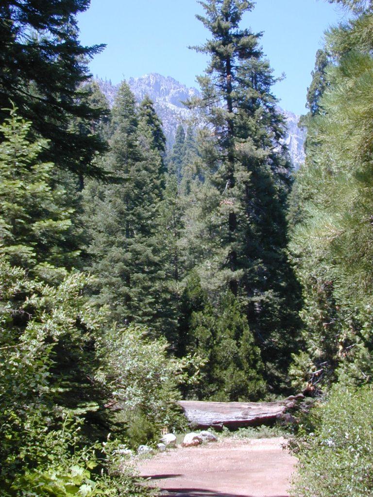
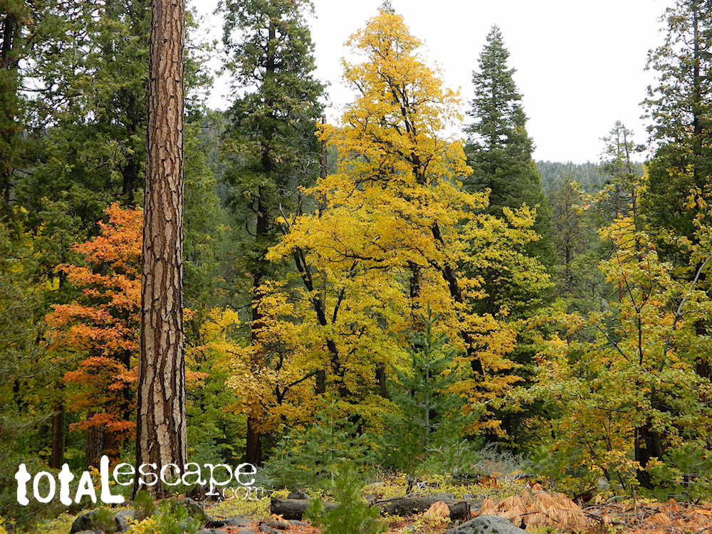
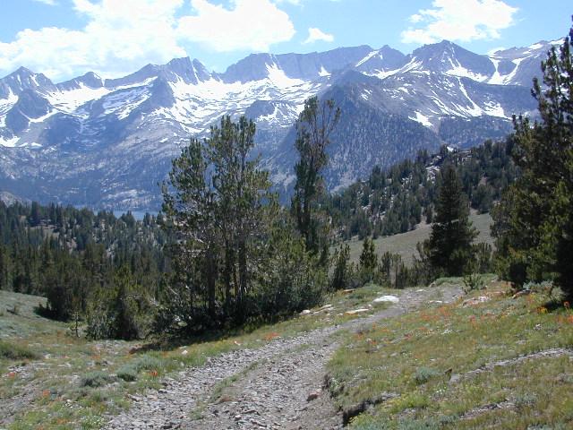
Golden Trout as seen from Mountain Home SF (2010)
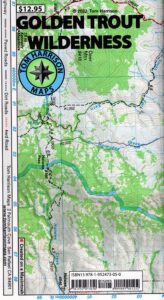
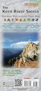
Golden Trout / South Sierra Map
Golden Trout Wilderness USDA
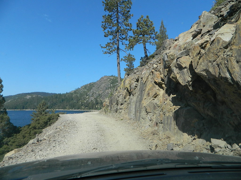
Kern River Gorge
South fork of Kern River
Upper Kern River
Backcountry Sequoia
California
-
- backpack trails
- hiking trails
- fishing lakes/streams
- horse packing
- hot springs
- kern river
- horse trails
Tom Harrison
Golden Trout Trail Map

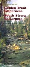
Golden Trout Wilderness
and South Sierra Wilderness
![]()
Golden Trout Wilderness Map
US Forest Service USGS
Official Trail Map for the U.S. National Forest Service. Map scale 1:63,360. Contour lines at 80 foot intervals show elevation. Detailed road network shown. Encompassing 475 square miles in the Sequoia and Inyo National Forests. Map Scale = 1″ to mile; Usually only found at Ranger Stations. MAY BE DISCONTINUED. Printed on paper in 1995.
Golden Trout Wilderness Trail Map, Sequoia National Forest, South Sierra Backpacking Maps, Forks of the Kern River Map, Jerky Meadow Trailhead, Big Whitney Meadow, Kern Peak, Coyote Peaks, Grey Meadow, Little Kern River, Kern Canyon, Jordan Hot Springs, Casa Vieja Meadow, Monache Meadows. Topo Sequoia Camping Kern River.

see also –
Golden Trout Wilderness Trail Map
Dome Land Wilderness Map
South Sierra Wilderness Map
Kern River Maps
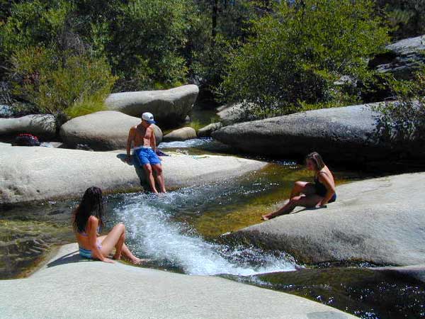
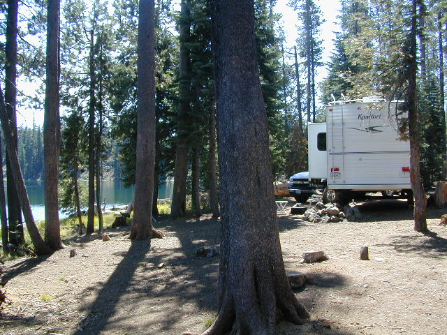
Creek dipping at Camp 4, Sequoia NF
JERKY MEADOW trailhead Forks of the Kern, located at the end of Sequoia forest road #22S82 also has numerous primitive camp sites located near the Kern Gorge. A moderate day hike will lead to waterfalls, swimming holes and granite bowls like these. Steep trails lead further down to the river 1000′ below. Forks of the Kern, Upper Kern River, Kern Hot Springs, Golden Trout Kern, Golden Trout Wilderness Area, South Sierra, Kern River Fishing, Camping, Backpacking Jerky Trailhead. Kennedy Meadows, California.

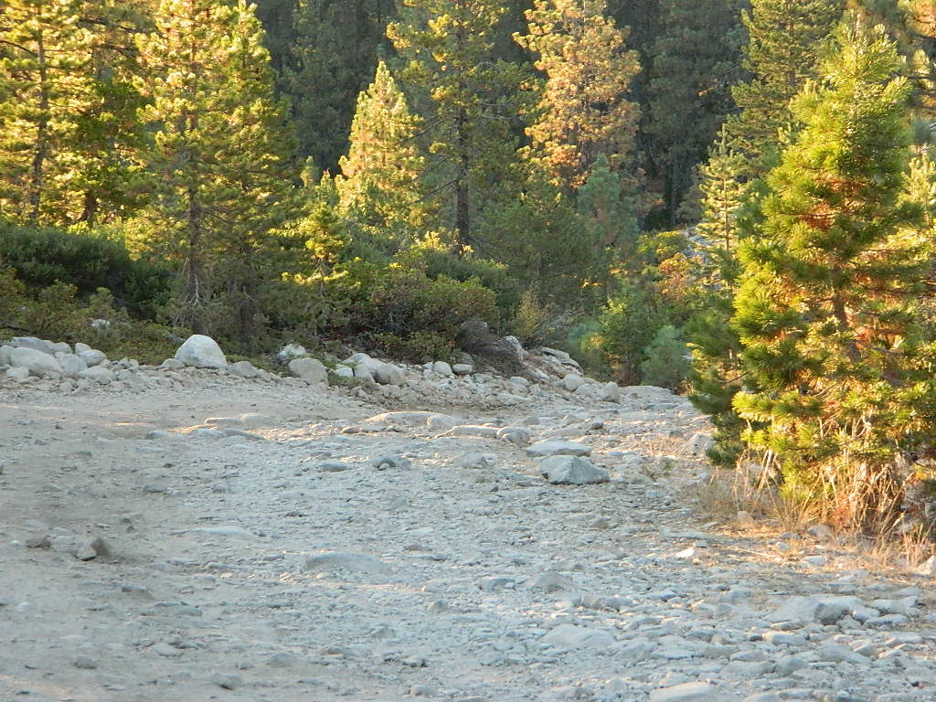
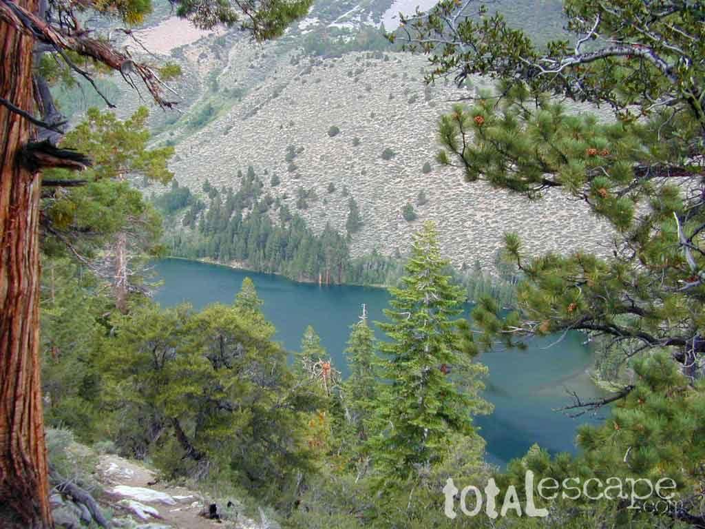
 4×4 Tahoe Trail Maps: Explore the 4WD (four wheel drive) dirt and gravel roads inside the Lake Tahoe region. Please follow the links listed at the bottom of this page for more Tahoe Maps.
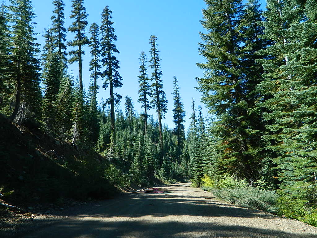
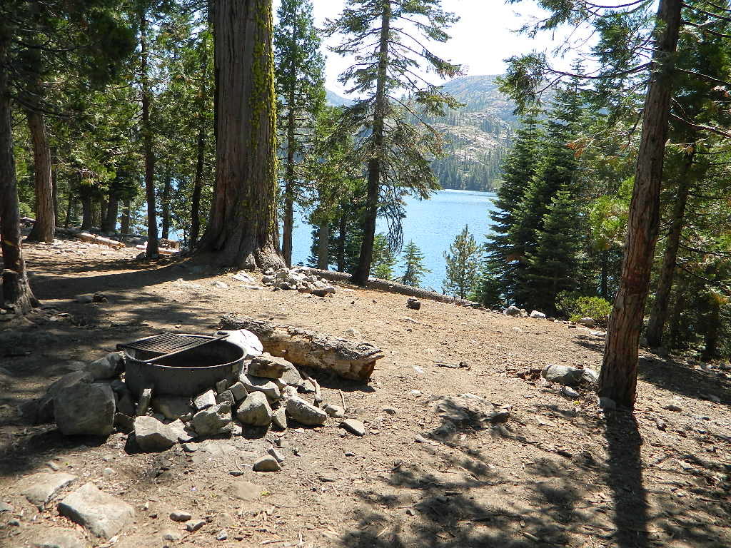


