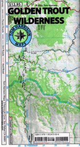
Golden Trout Wilderness Map

Golden Trout
Wilderness Area Maps
Mtn Home

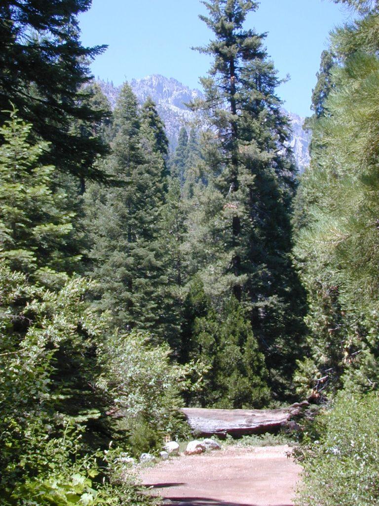
Golden Trout as seen from Mountain Home SF (2010)

Golden Trout / South Sierra Map
Golden Trout Wilderness USDA
Kern River Gorge
South fork of Kern River
Upper Kern River
Backcountry Sequoia
California

    • backpack trails
    • hiking trails
    • fishing lakes/streams
    • horse packing
    • hot springs
    • kern river
    • horse trails

Tom Harrison
Golden Trout Trail Map

Tom Harrison Map Kern

hiker

Golden Trout Wilderness
and South Sierra Wilderness

NFS

goldentrout
Golden Trout Wilderness Map
US Forest Service USGS

Official Trail Map for the U.S. National Forest Service. Map scale 1:63,360. Contour lines at 80 foot intervals show elevation. Detailed road network shown. Encompassing 475 square miles in the Sequoia and Inyo National Forests. Map Scale = 1″ to mile; Usually only found at Ranger Stations. MAY BE DISCONTINUED. Printed on paper in 1995.

Golden Trout Wilderness Trail Map, Sequoia National Forest, South Sierra Backpacking Maps, Forks of the Kern River Map, Jerky Meadow Trailhead, Big Whitney Meadow, Kern Peak, Coyote Peaks, Grey Meadow, Little Kern River, Kern Canyon, Jordan Hot Springs, Casa Vieja Meadow, Monache Meadows. Topo Sequoia Camping Kern River.

horseback

see also –
Golden Trout Wilderness Trail Map
Dome Land Wilderness Map
South Sierra Wilderness Map
Kern River Maps
goldencold

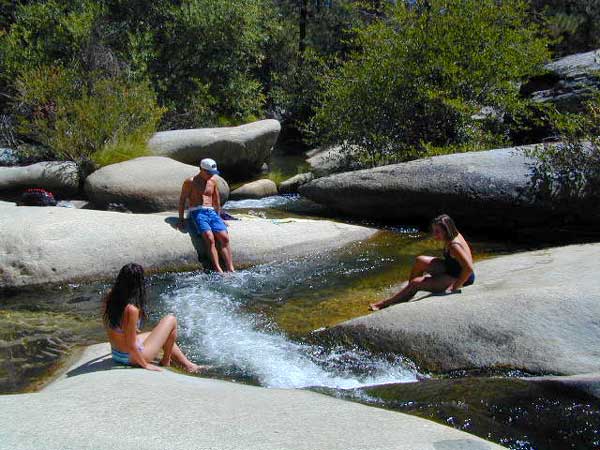
Creek dipping at Camp 4, Sequoia NF

JERKY MEADOW trailhead Forks of the Kern, located at the end of Sequoia forest road #22S82 also has numerous primitive camp sites located near the Kern Gorge. A moderate day hike will lead to waterfalls, swimming holes and granite bowls like these. Steep trails lead further down to the river 1000′ below. Forks of the Kern, Upper Kern River, Kern Hot Springs, Golden Trout Kern, Golden Trout Wilderness Area, South Sierra, Kern River Fishing, Camping, Backpacking Jerky Trailhead. Kennedy Meadows, California.

recent wildfires in this area:

Windy Fire 2021
Castle Fire / SQF Complex 2020forestKern River Map

Zion National Park Map

Zion National Park Map

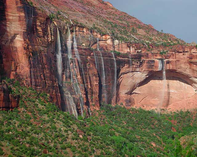
Waterfalls appear after a big sudden thunderstorm.

National Geographic Trails Illustrated Map #214
Zion Canyon, Virgin River, Zion NP

Zion National Park, UT – Zion Narrows, Kolob Canyons, La Verkin Creek Trail, Hop Valley Trail, Wildcat Canyon, West Rim Trail, Floor of the Valley Road, East Rim Trail, Telephone Canyon, and the Virgin River.

Waterproof Map Paper. Printed in 2019, ISBN 9781566952972


hikers map

Zion National Park Map

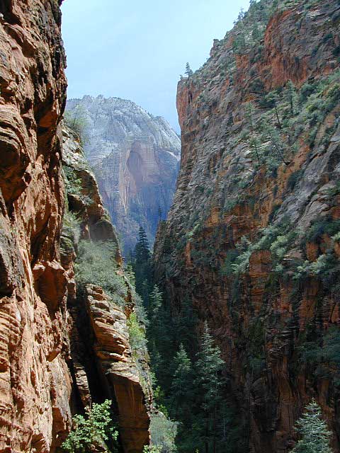
Zion Canyon is a mini Yosemite Valley, in red rock, in the high desert.

A terra cotta colored wonderland.

Zion National Park is one of the most visited of all the Utah National Parks Loop, due primarily to its proximity to Las Vegas, NV and Interstate 15.

Zion National Park Map

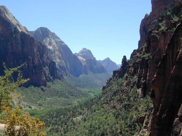
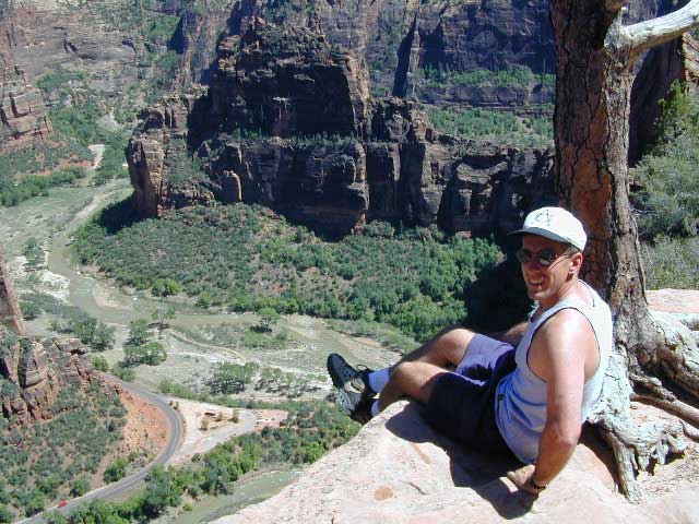
Zion Canyon, from hiking trail to Angel’s Landing

ZION NP OVERVIEW: To prevent traffic jams and preserve the wildness, the NPS offers a common parking lot (on Hwy 9 @ Springdale, UT) with tram/shuttle service to and from the valley. Plan to be away from your car most of the day when visiting the main canyon. Unless of course, you have reservations at the main lodge. Numerous hiking trails, the Virgin River, Zion Lodge and a restaurants.

Utah Highway 9 leads east through tunnels and more amazing rock scenery, with abundant pullouts for RVs and visitors. Nice uncrowded hikes can be found on the east side of the National Park at many of these random parking lots along the highway.

A small portion of Zion National Park parallels Interstate 15. This Kolob Area is far less crowded than the rest of the park, but no camping is allowed.

Abundant boondock camps can be found all over the Zion area, even along the freeway.

Awesome camps that we discovered in the late 1990’s are now well known and crowded, all year long.

Free river beach campsites W of Rockville, high country of the Smithsonian Butte trail, above Grafton ghost town. These areas are NO LONGER a secret, and are very crowded. BLM camping at Leeds exit is on a first come basis and limited, so you better arrive before dark for the best spots.

EXPERTS TIP – Buy a real map and learn to find campsites, that no one else knows about. Mark a GPS waypoints for future reference. Have the whole place to yourself for once!

Benchmark Atlas: Utah

Zion National Park Map

Hiking Zion National Park – Refrigerator Canyon. Refreshingly cool breezes pass through this canyon, so even hot summer days are okay. A great place to escape the mid-day heat.

avenzabar

apps/maps:
download digital topos & maps

driftwood

more maps on Utah


Zion National Park Map

Atop Angel’s Landing, Zion National Park, Utah

see also –

Bryce Canyon National Park Map
Capital Reef National Park Map 
Utah Maps
Utah Books

Joshua Tree Maps

Joshua Tree National Park Map

Joshua Tree Maps
Both Tom Harrison and NatGeo make awesome recreation maps of this popular SoCal desert. Numerous campgrounds, hiking trails, dirt roads, historic mines, and plenty rock climbing spots. In 1934, Joshua Tree was designated as a National Monument and then later became a National Park in 1994. The local Palm Springs Desert BLM office has paper maps that cover the desert canyon areas near Interstate 10.

JT Maps

Joshua Tree Recreation Map
by Tom Harrison

Joshua Tree National Park Map, Climbing Joshua Tree Camping Backpacking Maps, Areas include: Black Rock Canyon, Hidden Valley, Barker Dam, Keys View, Lost Horse Valley, Lost Horse Mine, Ryan Mountain, Cholla Cactus Garden, Cottonwood Spring, Lost Palms Oasis, Geology Tour Road, Cap Rock, Jumbo Rocks, Wonderland of Rocks, Arch Rock. High Desert Yucca Valley; Durable, waterproof plastic map; Folded. Map Scale: 125K; ISBN# 9781877689536

digital mapsget a digital version of this map
Joshua Tree Park Map by Tom Harrison

Joshua Tree Maps

Quiet Camps in the Desert

Joshua Tree National Park Map #226
by National Geographic

Trails Illustrated Map from National Geographic. Joshua Tree National Park Map #226. Joshua Tree Park Map, Camping & Hiking Map. Very detailed & colorful. Waterproof Plastic Map; Tear Resistant. GPS data. Scale 1:80,000 Contour Interval = 100 feet. ISBN# 9781566953009

digital mapsget a digital version of this map
NatGeo Map 226 – Joshua Tree National Park

Joshua Tree Maps

online maps

digital maps for download

Joshua Tree Maps

Joshua Tree Maps

Joshua Tree Maps can get you beyond the crowds, to the outlying places that few know about. Summers can be hot here in the High Desert at 4000′ elevation, but not as hot as the Palm Springs / Coachella Valley below.

Winters can be chilly and windy, especially with any storm front moving through SoCal. Snow is possible at this elevation. Low temps overnight can drop into the teens during certain times of year – so make sure to bring a zero degree sleeping bag and good thermal undies.

Spring (wildflowers) and autumn are ideal times to visit JTNP.

Joshua Tree Maps

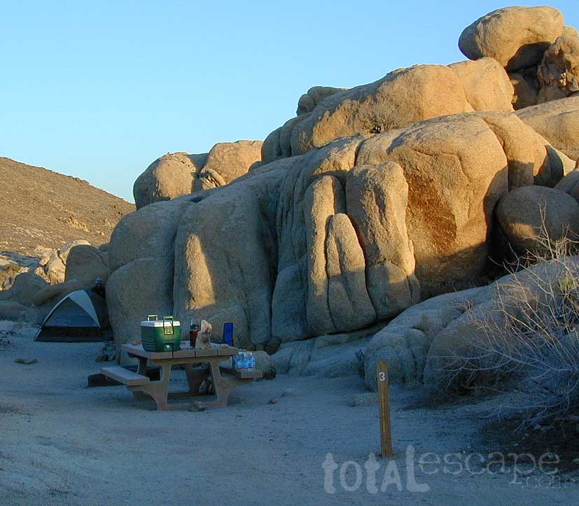
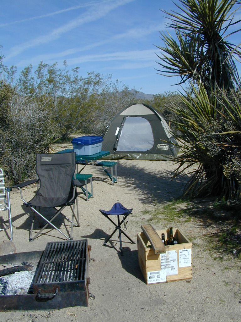
Camping Joshua Tree National Park Desert