Mount Whitney Hiking Maps

Mount Whitney Hiking MapsThe tallest mountain peak in the lower 48 means that this region is a super popular destination with avid hikers, mountaineers and backpackers alike. Physical fitness must be top priority in training for this ultimate bucket list choice.

Usually only accessible about half the year, due to snow (NOV-MAY) and permits are required. To obtain a wilderness hiking permit, you must get chosen from a lottery months in advance. No joke!

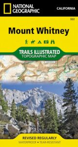
Mount Whitney Map

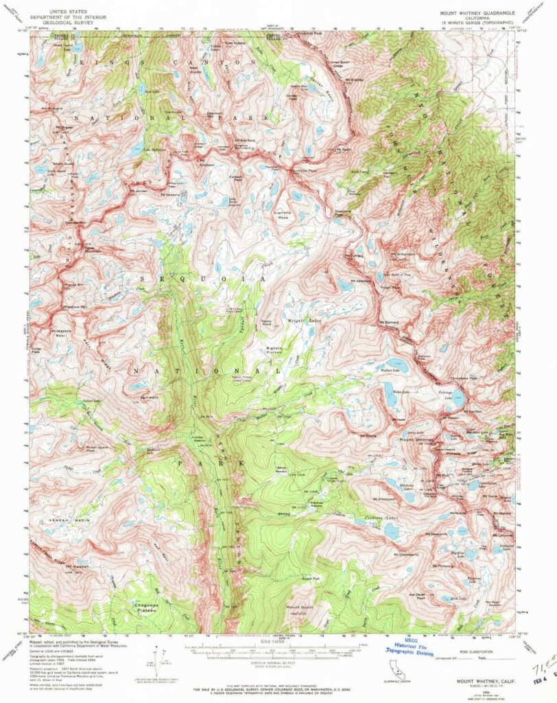
Mt Whitney Topo
by NatGeo Trails Illustrated

Mount Whitney High Country Map
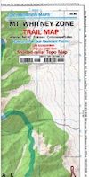
Mount Whitney Zone Map

both Topographic Maps by Tom Harrison (listed below)
Mount Whitney Hiking Maps

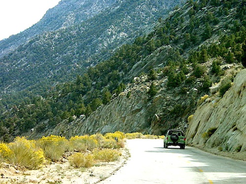
Whitney Portal Road

Mount Whitney Zone
Tom Harrison
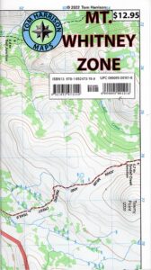
Whitney Zone Map

Mount Whitney Hiking Maps

OLDER VERSION

Mount Whitney Map, Whitney Portal. Topo Trail. Mt Whitney maps. Tom Harrison Trail Map: Mount Whitney Zone Trail Map, Lone Pine, CA; Areas include: Whitney Portal, Crabtree, Cottonwood Lakes, Rock Creek. Whitney Portal Trailheads, Outpost Camp, Trail Camp, Whitney Summit, Mountaineer’s Route, High Sierra Trail, Crescent Meadow, and the John Muir Trail Junction.

Durable, waterproof plastic map; Folded. Map Scale: 31.7K; ISBN# 9781877689697

digital mapsdownload digital version of this map
Mount Whitney Zone Map
Mount Whitney Hiking Maps

hiker

Mount Whitney Hiking Maps

Mount Whitney High Country Map
Tom Harrison
Whitney High Country

Mount Whitney High Country Map, Whitney trail map, Topo trails. Tom Harrison Trail Map: Mount Whitney High Country, with Lone Pine California. Pear Lake, Lodgepole, Mineral King, Mt. Whitney Peak, Kern Canyon, Ash Mountain, Whitney Portal, Little Five Lakes, Bearpaw Meadow, Triple Divide Peak, Cottonwoods Lakes, Horseshoe Meadow. Eastern Sierra, High Sierra Backpacking, Mount Whitney Map, Hike, Inyo National Forest, Eastern Sierra, Mount Whitney Map by Tom Harrison, Hike, Inyo National Forest, Eastern Sierra Hikes, Mt Whitney California Topo, Waterproof, Topographic Maps California, Sierra Whitney Hike, High Country Trails, California Sierra Mountains Durable, waterproof plastic map; Folded. Map Scale: 63K; ISBN# 9781877689512

avenza mapsdownload digital version of this map
Mt. Whitney High Country Map
WhitneyFalls

additional
MT. WHITNEY MAPS

Mount Whitney Booklet

Mount Whitney to Bishop Trail Map

Whitney Topo Map

see also –
NatGeo Mount Whitney Map
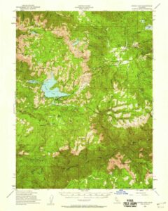
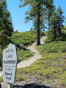
Bucks Lake Wilderness Map

Gold Lake @ Bucks

Bucks Lake Topo Map

Topo Map

Bucks Lake Wilderness Map

Bucks Lake Map
Bucks Lake Wilderness Map USDA
Map Scale = 2″ to 1 mile; Printed on paper in 1990.
Available @ USGS.gov
and at Plumas Ranger Station, Quincy, CA

Bucks Lake Wilderness @ Bucks Lake
Northern Sierra Nevada mountains

NFS

TrailheadsEast of Oroville, CA
West of Quincy, CA

Plumas National Forest

Bucks Lake Wilderness Map

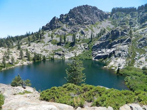
South of Mount Lassen, deep in the forests west of Quincy & Meadow Valley, lies a few small alpine lakes in and around the bigger Bucks Lake, a resort cabin community with dining, overnight lodging, cabin rentals, RV and tent campgrounds. Indian Rock is a popular DAY USE beach along the west shoreline.

Wilderness hiking trails climb to peaks and lakes at higher elevations.

Topo maps are perfect for a day hike reference or extended backpacking adventures. Pacific Crest Trail access. Bucks Lake has numerous developed campgrounds, smaller lakes and many miles of trails to explore.


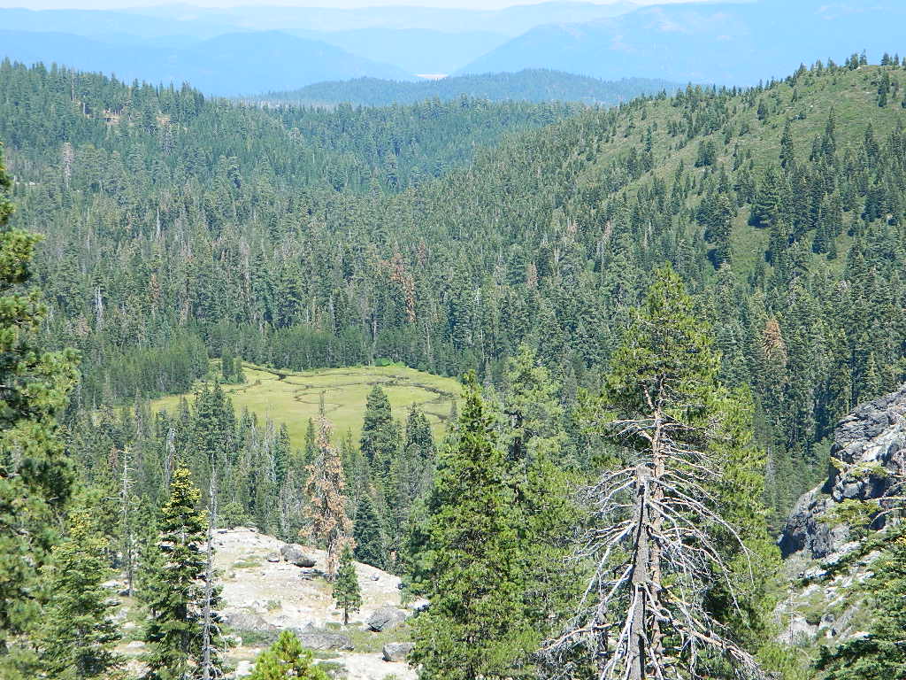
Jacks Meadow

Jacks Meadow

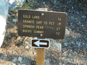
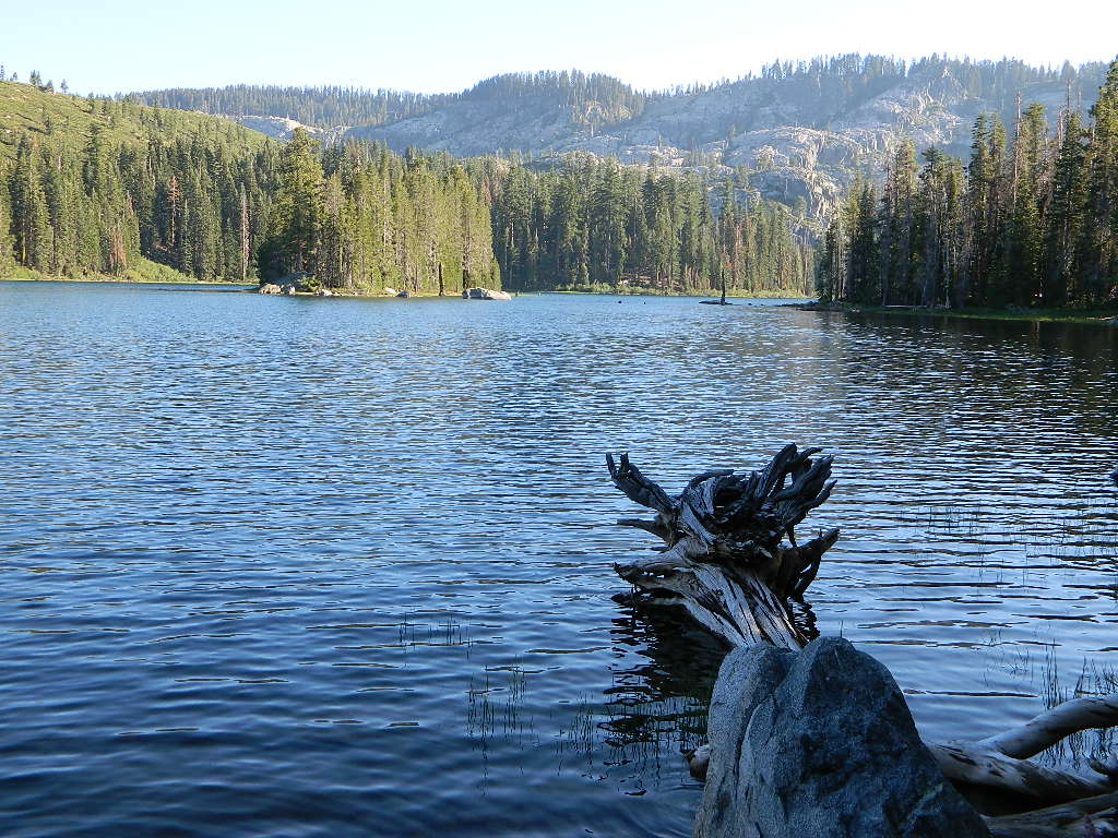
gold lake sign

silver lake bucks lake

Silver Lake has a small campground accessed via dirt road.

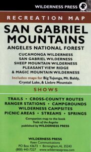
San Gabriel Mountains Map

San Gabriel Mountains
Topo Map Angeles

hikerWilderness Press makes this map specific to the San Gabriel Mountains, located high above the Los Angeles Basin, overlooking the southland. Numerous day hikes, backpacking trailheads, developed campgrounds, and back roads are displayed. Map includes the Wilderness Areas in this region, surrounding the Angeles Crest Highway 2.

San Gabriels Map

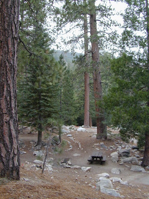
Campground

Campgrounds along Angeles Crest Hwy 2

see also – camp

Front Country Map
High Country Map
Los Angeles Map NatGeo
Angeles National Forest Map
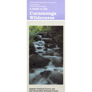
Cucamonga Wilderness Map
Mount Baldy Map
Mount Wilson Map

Cucamonga Wilderness Map

Cucamonga Wilderness Map

USDA Cucamonga Wilderness Map

2024 update: USGS may actually have this older paper map

hikers map

alternate map:

San Gabriel Mountains Map
by Wilderness Press

w/ Cucamonga Wilderness, Sheep Mountain Wilderness, San Gabriel Wilderness and Magic Mountain Wilderness

Cucamonga Wilderness Hiking Map, Angeles National Forest, San Gabriel Forests, Lytle Creek Routes, Mount Baldy Ski Area, West Baldy, Devils Backbone, Mt. Baldy Trails, Manker Flats, Stockton Flats, Mt. San Antonio, Telegraph Peak, Icehouse Canyon, Thunder Mountain, Timber Mountain, Cucamonga Peak. Waterproof plastic map.

mount baldy ski lodge

Mt Baldy photo by Chris DiNenna

trails

Hiking trails reach the summit from four sides of the mountain, and one route can be completed with assistance from the nearby ski lift. The trails vary in difficulty, and there are plenty of options for novices, as well as experienced hikers.

Mt. Baldy Notch – (3.5 miles one way): The trail begins at Manker Flats, where the Baldy Notch Service Road can be taken to the notch. The trail provides scenic views at the notch, and other trails ahead.

Devil’s Backbone – (3.2 miles one way from Notch: A service road at Mt. Baldy Notch leads to the Devil’s Backbone trailhead and continues to the main peak.

Mt. Baldy Trail – (6.5 miles one way to Mt. Baldy Summit): This is the oldest and longest trail to the summit. Because it starts at Mt. Baldy Village, it has almost 6000′ of elevation gain.

Icehouse Canyon – (3.7 miles one way): The Icehouse Canyon trail begins in the parking lot at Icehouse and goes all the way up to Icehouse Saddle where a number of trails can be taken either to the Notch or to nearby peaks such as Ontario and Cucamonga. (5.5 miles).

Ski Hut Trail – This trail follows the east side of the San Antonio Creek canyon to a small backcountry ski hut owned by the Sierra Club. A use trail continues around the left side of the bowl and then to the summit.

Three T’s – (5.3 miles one way): The trail starts and ends at the Icehouse Canyon Trailhead. It leads to views from the summits of Thunder, Timber and Telegraph Mountains.

hikers map

see also –

Angeles Crest Maps
Angeles National Forest Map
Angeles Forest Atlas
PCT Map #2 
San Gabriel Mountains Map