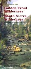
Golden Trout Wilderness Map

Golden Trout
Wilderness Area Maps
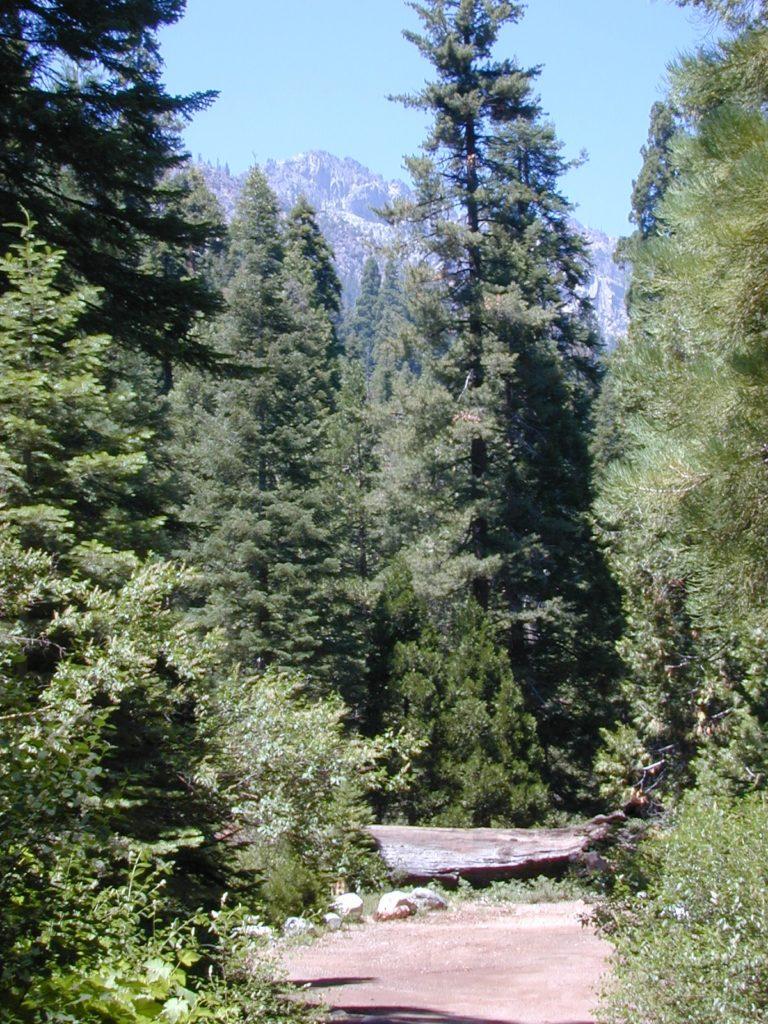
Mtn Home

Golden Trout as seen from Mountain Home SF (2010)

Golden Trout / South Sierra Map
Golden Trout Wilderness USDA
Kern River Gorge
South fork of Kern River
Upper Kern River
Backcountry Sequoia
California

    • backpack trails
    • hiking trails
    • fishing lakes/streams
    • horse packing
    • hot springs
    • kern river
    • horse trails

Tom Harrison
Golden Trout Trail Map

Tom Harrison Map Kern

hiker

Golden Trout Wilderness
and South Sierra Wilderness

NFS

goldentrout
Golden Trout Wilderness Map
US Forest Service USGS

Official Trail Map for the U.S. National Forest Service. Map scale 1:63,360. Contour lines at 80 foot intervals show elevation. Detailed road network shown. Encompassing 475 square miles in the Sequoia and Inyo National Forests. Map Scale = 1″ to mile; Usually only found at Ranger Stations. MAY BE DISCONTINUED. Printed on paper in 1995.

Golden Trout Wilderness Trail Map, Sequoia National Forest, South Sierra Backpacking Maps, Forks of the Kern River Map, Jerky Meadow Trailhead, Big Whitney Meadow, Kern Peak, Coyote Peaks, Grey Meadow, Little Kern River, Kern Canyon, Jordan Hot Springs, Casa Vieja Meadow, Monache Meadows. Topo Sequoia Camping Kern River.

horseback

see also –
Golden Trout Wilderness Trail Map
Dome Land Wilderness Map
South Sierra Wilderness Map
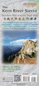
Kern River Maps
goldencold

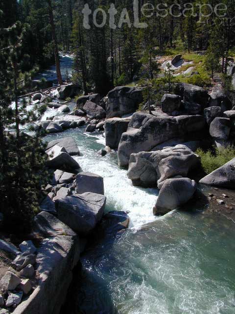
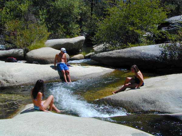
Creek dipping at Camp 4, Sequoia NF

JERKY MEADOW trailhead Forks of the Kern, located at the end of Sequoia forest road #22S82 also has numerous primitive camp sites located near the Kern Gorge. A moderate day hike will lead to waterfalls, swimming holes and granite bowls like these. Steep trails lead further down to the river 1000′ below. Forks of the Kern, Upper Kern River, Kern Hot Springs, Golden Trout Kern, Golden Trout Wilderness Area, South Sierra, Kern River Fishing, Camping, Backpacking Jerky Trailhead. Kennedy Meadows, California.

recent wildfires in this area:

Windy Fire 2021
Castle Fire / SQF Complex 2020forestKern River Map

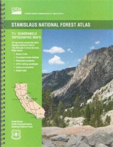
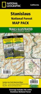
Stanislaus Topo Atlas

stanislaus atlas

Stanislaus Forest Atlas USDA

Central Sierra Nevada Mountains / Sonora Pass / Stanislaus RiverNational Forest Maps

Stanislaus National Forest

The Stanislaus Topo Atlas is a spiral bound book – a collection of all the quads. (7.5 minute topographical maps, of all of Stanislaus National Forest, California) This book map has detailed contour lines, rivers, streams, mountain peaks, streams, lakes, in addition to hiking trails & all the back roads. Sonora Pass Highway 88, with Ebbetts Pass Highway 4 just south of that. Most certainly the Stanislaus River and all area campgrounds. Perfect for all kinds of recreational needs. ISBN#  9781628114171

Calaveras, Northwest Yosemite, Spicer Reservoir, Dodge Ridge, Bear Valley Ski, Lake Alpine, Hetch Hetchy, Stanislaus Map.

Stanislaus River Atlas

USDA Topo Map
Stanislaus National Forest QUADS:

from south to north –

leavitt lake

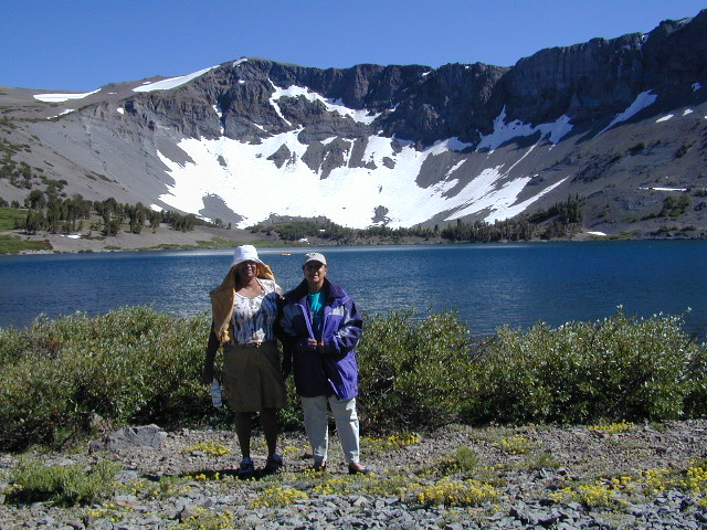
Leavitt Lake, elevation 9536′ – on the east side of Sonora Pass.

Sonora Pass Maps

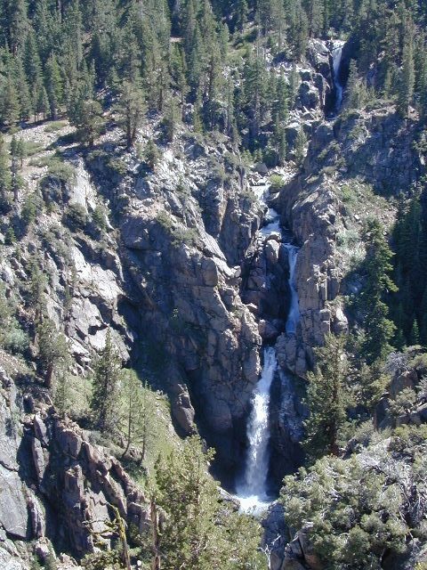
Leavitt Falls, CA SR 108 Sonora Pass


Topographic Map

Sierra Meadow Boondocking near Wilderness


Trailhead Maps

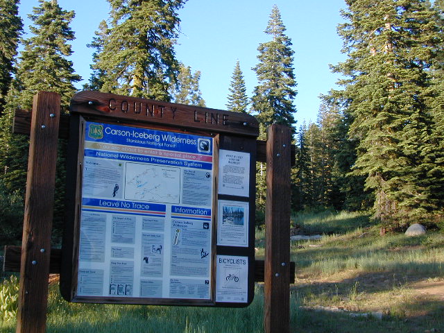
County Line Trailhead – Carson Iceberg Wilderness

see also –

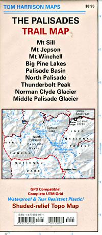
Palisades Trail Map

Palisades Trail Map
by Tom Harrison Maps

Eastern Sierra / Palisade Glacier / Norman Clyde Glacier

Tom Harrison Map: The Palisades Trail Map, Bishop Pass Area, Backpacking High Sierra; Areas include: Mount Sill, Mount Jepson, Mount Winchell, Big Pine Lakes, Palisades Basin, North Palisade, Thunderbolt Peak, Norman Clyde Glacier, Middle Palisade Glacier, Inyo National Forest, Inyo High Country, Sierra High Country; Hiking Maps Backpacking Trip, California Sierra Camping.

Palisades Trail Map

OLDER EDITION

Durable, Shaded-relief topographic map printed on waterproof plastic; GPS Compatible – Complete UTM Grid. Folded. Map Scale: 31.7K; ISBN# 9781877689970

The Palisades Trail Map covers the Big Creek area of the Eastern Sierra on the boundary between Kings Canyon National Park and Inyo National Forest. Map includes the Palisades and Norman Clyde Glaciers, Bishop and Mather Pass, and the Big Pine Lakes.

  • Big Pine Lakes
  • Mount Sill
  • Mount Jepson
  • Mount Winchell
  • North Palisade
  • Norman Clyde Glacier
  • Mid Palisade Glacier
  • Thunderbolt Peak

avenza mapsdownload digital version of this map –
The Palisades Map

Palisades Trail Map

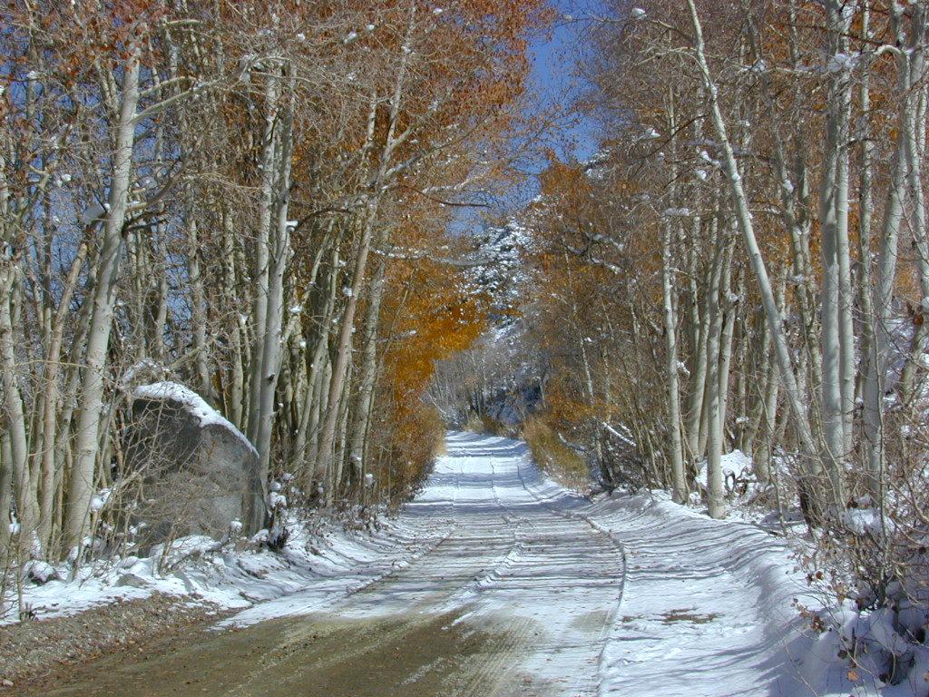
Autumn Colors meet SNOW in early October

nearby towns:
Big Pine, CA
Bishop, CA

The Palisade Glacier is a glacier located on the northeast side of the Palisades within the John Muir Wilderness. The glacier descends from the flanks of four mountain peaks over 14,000′ in elevation of which North Palisade 14,242′ is third highest peak in the Sierra Nevada Range.

The cirque containing the Palisade Glacier has a history of thousands of years of glaciation. The modern glacier attained its last maximum extent during the Little Ice Age, between 250 and 170 years ago – a period also known as the Matthes glaciation in the Sierra Nevada.

The glacier is under a mile long and half mile wide. It is located between 13,400 and 12,000; elevation and moves at a rate of 20 feet per year, although it is also retreating. Palisade Glacier is one of the few glaciers in California that terminates in a proglacial lake dammed by its former moraine and the lake is turquoise colored from the glacial powder suspended in the water. The Big Pine Lakes below the glacier are also the same color.

see also –

Inyo National Forest Map
Inyo Forest Topo Atlas
Bishop Pass Map
Mount Whiney Maps