Bodie Ghost Town California
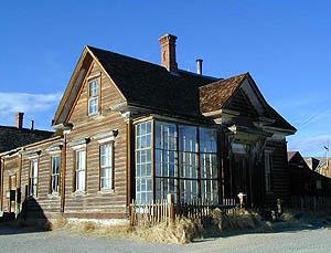 Bodie State Historic Park
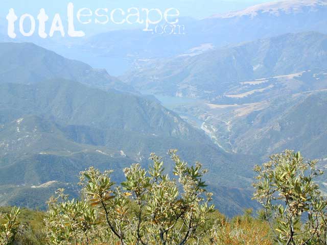
Aurora Canyon
Eastern Sierra Nevada area near Bridgeport, California
HIGH DESERT –
8375′ elevation
This Bodie map is authentic. Created and produced by none other than Tom Harrison, a legend in the field California cartography. No other map creator makes a detailed topographic map of Bodie Ghost Town, State Park and desert region.
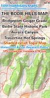
Bodie Hills Map
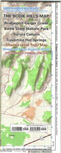
Tom Harrison Trail Map: Bodie Ghost Town CA, Bodie State Historic Park, State Park Bodie, BLM Bodie Hills, Back Roads Bridgeport California, Mining Desert High Country Map, 4×4 roads, Aurora Canyon, Aurora Nevada, Bodie Hiking Map, Backpacking Maps. Travertine Hot Springs, Geiger Grade, Bodie State Park, NV Desert Mountains, Bridgeport Hiking Maps. Durable, waterproof plastic map; Folded. Map Scale: 63K; ISBN#9780981834412
OLD VERSION
![]() download digital version of this map –
download digital version of this map –
Bodie Hills Topo Map
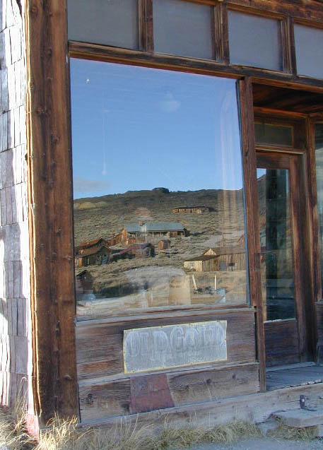
Bodie Ghost Town is the most popular & best preserved historic mining camp in California. Winter months are cold, windy, and often snowy. Late summers can get hot. Plan accordingly.
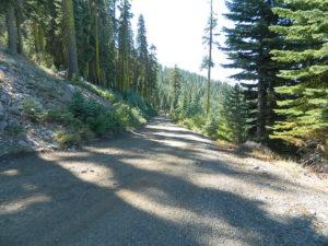
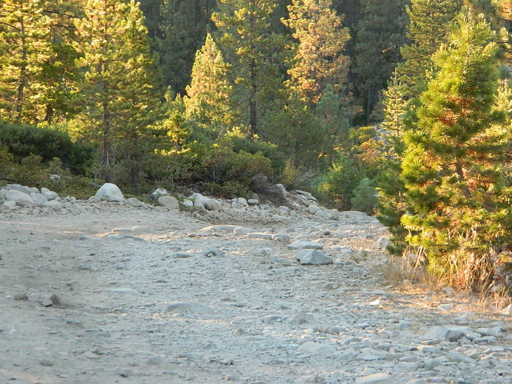
No services, no pavement, no big trees. Very remote location. Abundant free, boondocking camps in this high desert region, so make sure to get a camp fire permit from the local ranger station in Lee Vining or Bridgeport, CA
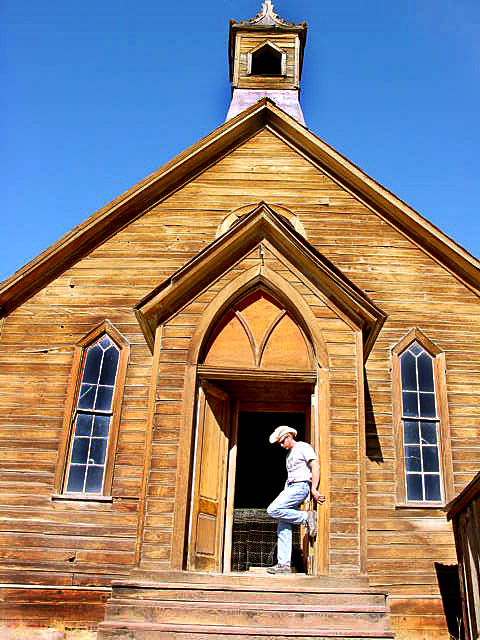
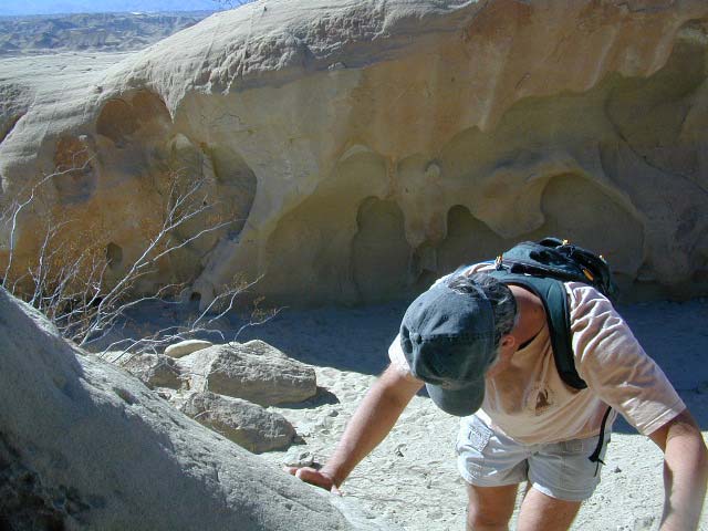
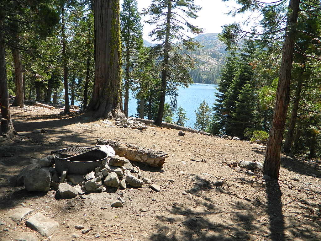
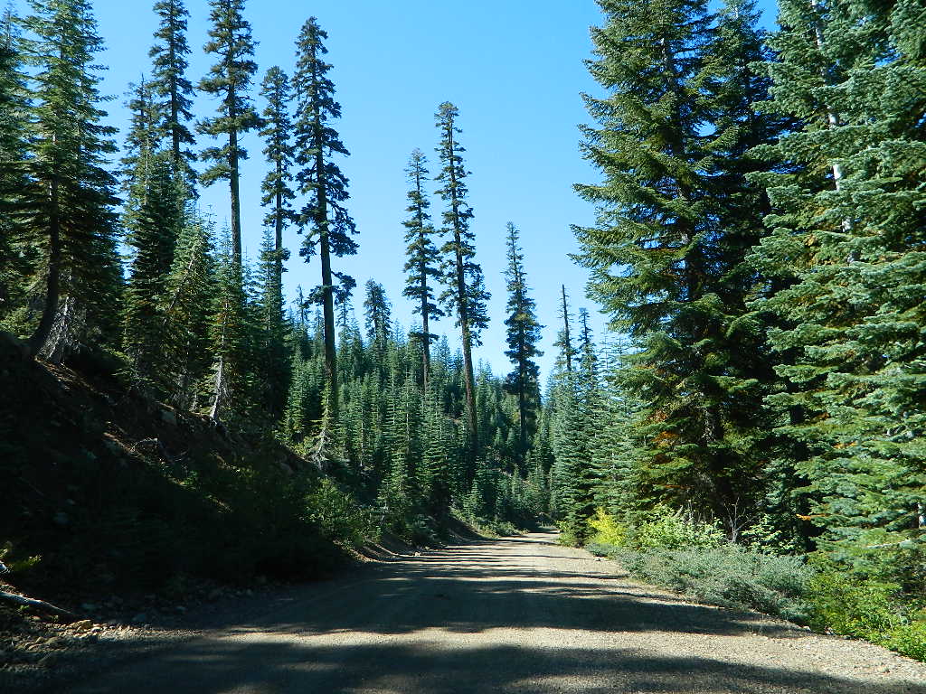
Photo by Morris Neer
nearby destinations:
- Bridgeport, CA
- Green Creek Road
- Hoover Wilderness
- Lee Vining, CA
- Mono Lake California
- Twin Lakes, CA
- Yosemite National Park
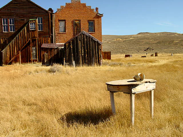
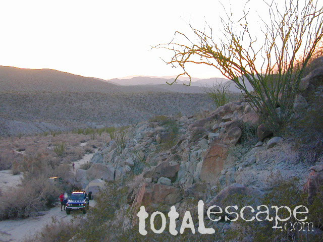
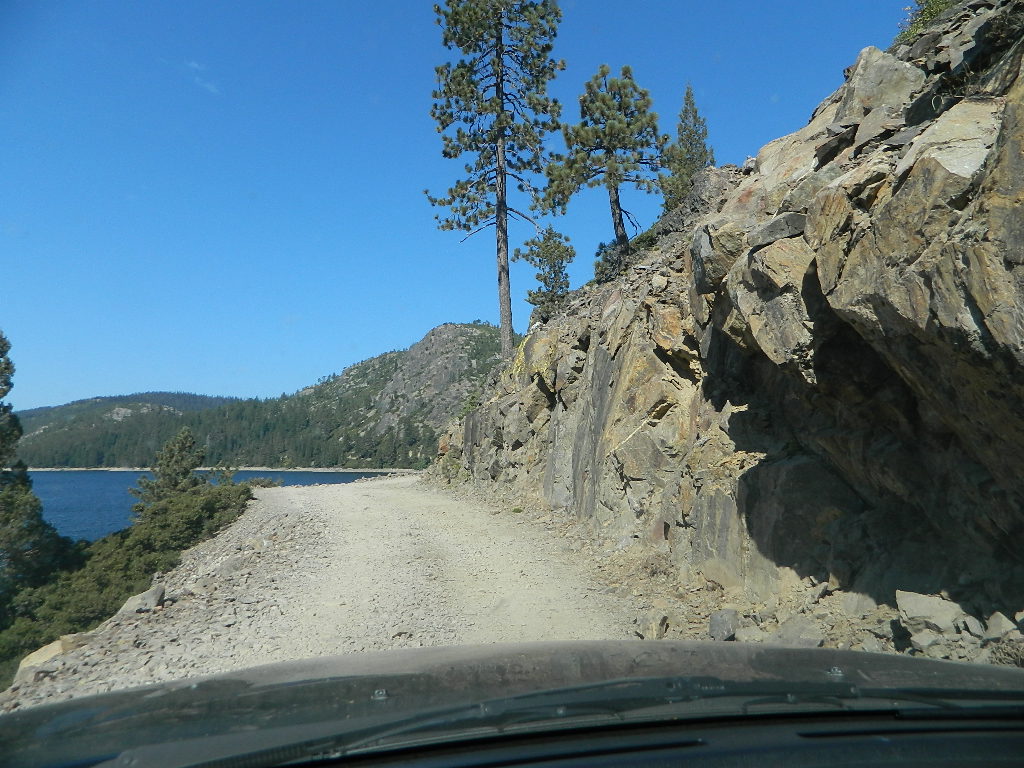
Photo by Morris Neer
see also –
Toiyabe National Forest Map
Hoover Wilderness Trail Map