4×4 Guide Tahoe NF

4×4 Tahoe Trail Maps
Off Roading Routes

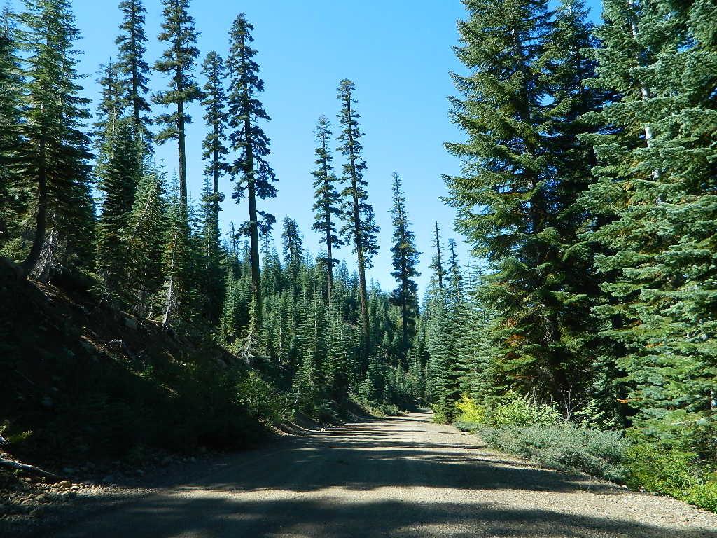
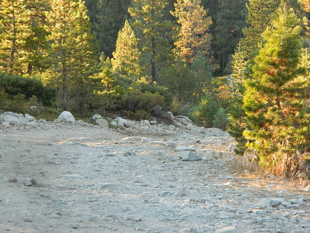
4x4 maps4×4 Tahoe Trail Maps: Explore the 4WD (four wheel drive) dirt and gravel roads inside the Lake Tahoe region. Please follow the links listed at the bottom of this page for more Tahoe Maps.

Camping Lake Map

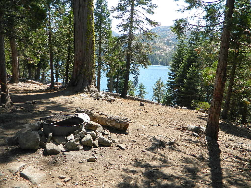
Sawmill Lake, Tahoe NF – N of Donner Pass I-80


4Wheeler’s Guide to Trails of the Tahoe National Forest, CA; Lake Tahoe to the North Yuba River

4Wheeler’s Guide to the Rubicon Trail

2024: BOTH THESE MAPS ABOVE NOW OUTTA PRINT

driftwood

California off roading with 4×4 Tahoe Trail Maps. Topographical hard copy maps show contour lines, routes, trailheads, campgrounds, alpine lakes, mountain peaks, wilderness boundaries.  Maps for use by nomad campers, mountain bikers, dirt bikers, jeeps, SUVs, ATVs, and all off roading rigs. Overland camping options in the high elevation Sierra Nevada mountains.

see also –dirt bikes trail map

Lake Tahoe Basin Topo Atlas

Tahoe National Forest Map USDA

Lake Tahoe Basin – Recreation @ Lake Tahoe

Tahoe Rim Trail Topo Map by Tom Harrison

USDA Lakes Basin, Sierra Buttes Map

bowman cliff shoreline

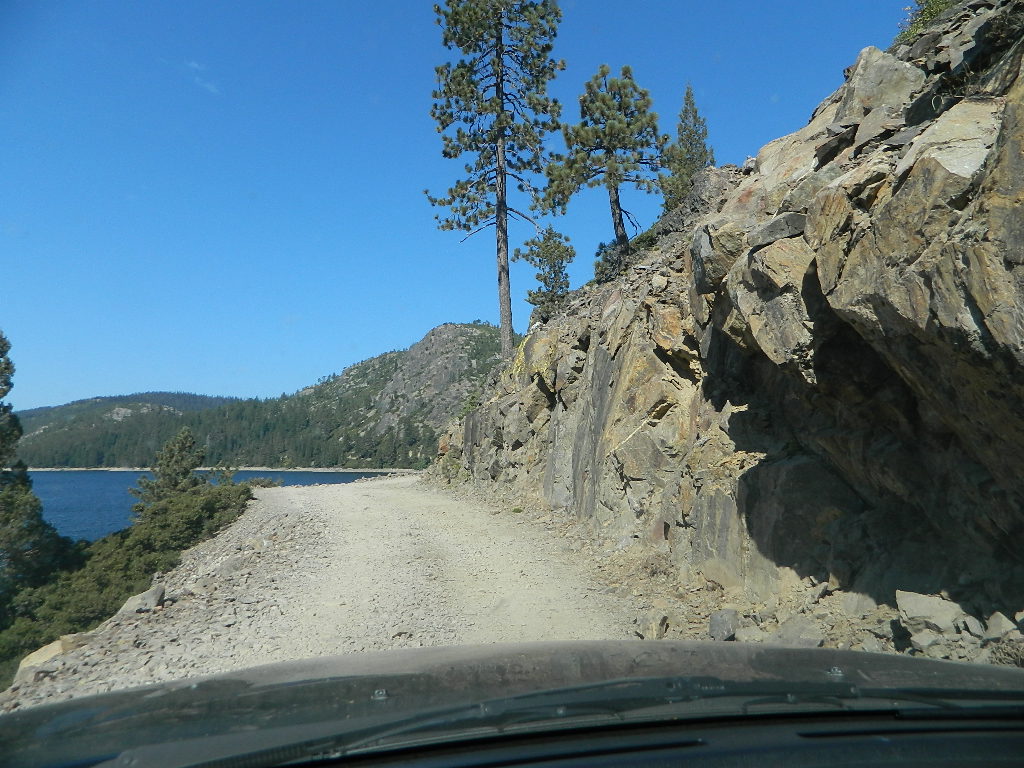
Bowman Lake, narrow cliff shoreline

Tahoe Forest Maps
by National Geographic

Tahoe East – Sierra Buttes & Donner Passfishing maps tahoe

Tahoe West – Yuba River & American River

sierra buttes maps

Back Roads @ N Yuba, Lakes Basin

Lakes Basin Recreation Area: Sierra Buttes
GOLD LAKE HWY. North Sierra Nevada – where granite spires touch the sky and river canyons run deep. Alpine lakes are covered in snow half the year w/ Gold Lake being the largest.

Totally worth a weekend visit! Spending a full week here is ideal. Summer destination for cabins, camping, hiking, fishing, waterfalls, and even off road routes; Winter offers snow recreation: cross country ski, snow shoe trails, and snow mobile access.
forest roads map tahoe

Tire Tools: roadside assistance
doesn’t do dirt roads

4x4 Patch Kit ARB

Devils Postpile Trail Map

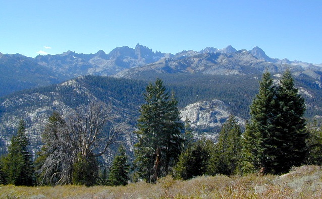
minarets

Minarets @ Mammoth

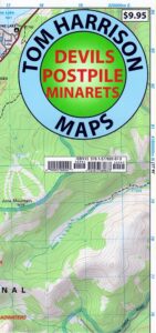
Devils Postpile Map
Tom Harrison

devils postpile trail map
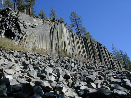
Devils Postpile National Monument
Minarets @ Mammoth Lakes
June Lake Loop
Eastern Sierra Mountains

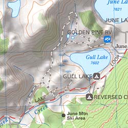
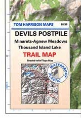
Tom Harrison Trail Map: Devils Postpile CA; Mammoth Lakes Area, Eastern Sierra Hikes; Cool California Geology, Camping Sierra Nevada mountains. Areas Include: Gem Lake, Minarets Hiking Trails, Rainbow Falls, Garnet Lake, Ritter Range, June Mountain, Mammoth Minarets, Agnew Meadows, Thousand Island Lake; Mammoth Lakes, Mammoth Hiking Backpacking Mammoth Lakes. Mammoth Trail Maps, Tom Harrison Topo Map Mammoth Hikes, Mammoth Mountains, Topo, Waterproof, Topographic Maps.

fishing mapDurable, waterproof plastic map; Folded. Map Scale: 40K; Tom Harrison brand ISBN# 9781877689673

avenza mapsdownload digital version of this map –
Devils Postpile Trail Map

Devils Postpile Trail Map

Post Piles @ Mammoth

Devils Postpile Map

PREVIOUS EDITION MAP

hike mammoth

the details

Inyo National Forest
Sierra National Forest
Ansel Adams Wilderness

old maps

REAL OLD MAP

nearby towns –hikers map

see also –
Mammoth Highcountry Trail Map
Mammoth Lakes Map NatGeo
Mono Divide Highcountry Map

Ansel Adams Topo Map

Devils Postpile Trail Map

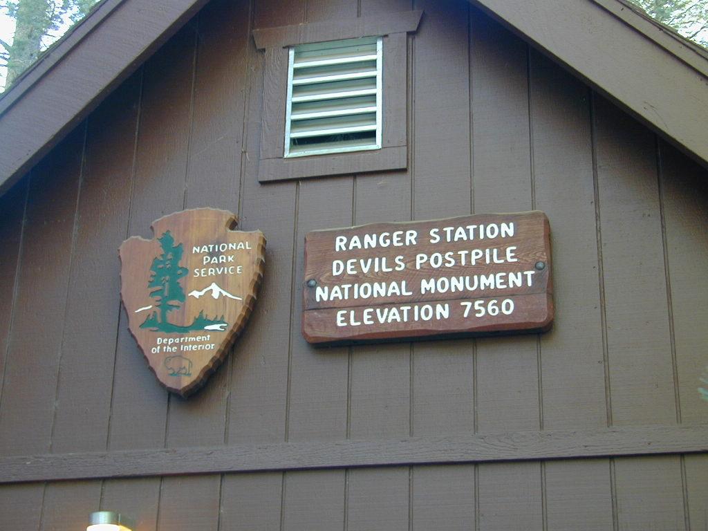
NPS Ranger Station


Devils Postpile Trail Map

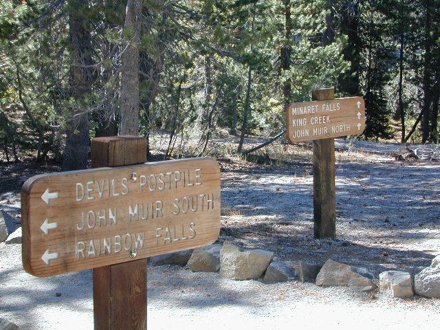
Trailheads @ Devils Post Pile National Monument

Half Dome Hiking Map

Half Dome Hiking Map

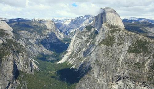
Half Dome view from Glacier Point (photo SKIP JONES)

Half Dome Trail Map

Hiking to Half Dome is very long day trip, on foot, uphill half the way, with excessive elevation gain and loss. Leave toward the trailhead before day break and get back after sundown. No kidding: 17 miles round trip. You must be in excellent shape to tackle this trail, as it involves discipline and strength. Super scenic waterfalls and viewpoints all along the way. Some prefer to do an overnight trek w/ backpack, food and permits.

Half Dome Hiking Map
Tom Harrison Maps

Half Dome Hiking Map

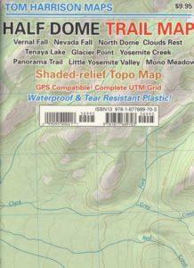
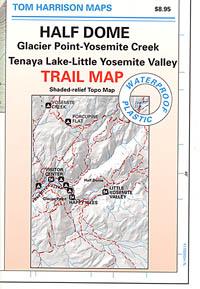
Hike Half Dome Yosemite Trails, Backpacking Yosemite National Park, Climbing Half Dome, Yosemite Day Hikes, Backpacking Maps; Areas include: Glacier Point Hike, Yosemite Creek, Yosemite Falls, Tenaya Lake, Yosemite Valley, Vernal Falls, Nevada Falls, North Dome, Clouds Rest, Teneya Lake, Yosemite Creek, Panorama Trail, Mono Meadow, Little Yosemite Valley.

Durable, waterproof plastic map; Folded. Map Scale: 31.7K; ISBN# 9781877689703

avenza mapsdownload digital version of this map –
Half Dome Hiking Map

Half Dome Yosemite

Yosemite National Park

The geology of the Yosemite area is characterized by granitic rocks and remnants of older rock. About 10 million years ago, the Sierra Nevada was uplifted and then tilted to form its relatively gentle western slopes and the more dramatic eastern slopes. The uplift increased the steepness of stream and river beds, resulting in the formation of deep, narrow canyons. About one million years ago, snow and ice accumulated, forming glaciers at the higher alpine meadows that moved down the river valleys. Ice thickness in Yosemite Valley may have reached 4,000 feet during the early glacial episode. The downslope movement of the ice masses cut and sculpted the U-shaped valley that attracts so many visitors to its scenic vistas today.

Half Dome Hiking Map

OLD MAP HALFDOME

Half Dome Hiking Map

OLDER VERSION

see also –

Yosemite Books
Yosemite Valley Trail Map
All NatGeo Yosemite Maps
All Tom Harrison Yosemite Maps

Half Dome Hiking Map

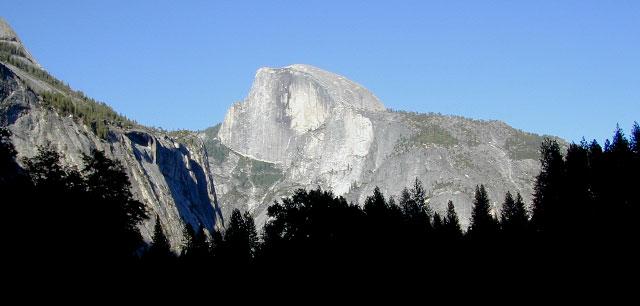
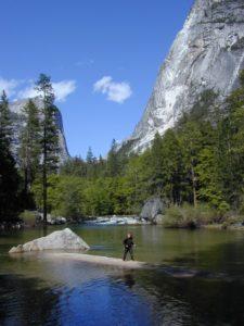
Below Half Dome, Mirror Lake