Coconino National Forest Map

Coconino Forest Map

coconino map

Camping Prescott / Arizona Map Prescott / AZ National Forest Maps

hikers map
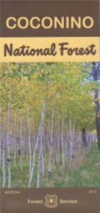
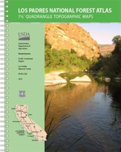
USDA Coconino National Forest Map, Prescott National Forest Map, Prescott Arizona Hiking Map, Williams AZ, Prescott Backpacking Maps, Topo Map AZ, Chino Valley, Camp Verde, Fort Verde, Hiking Sycamore Canyon Wilderness, Red Rock Secret Mountain Wilderness Pine Mountain, Cedar Bench AZ, Mingus Mountain Campground, Powell Springs, Apache Creek Wilderness, Juniper Mesa Wilderness, Granite Mountain Wilderness, Granite Mtn. AZ, Castle Creek Wilderness Map. Waterproof plastic map paper. Printed in 2013. ISBN# 9781593512439
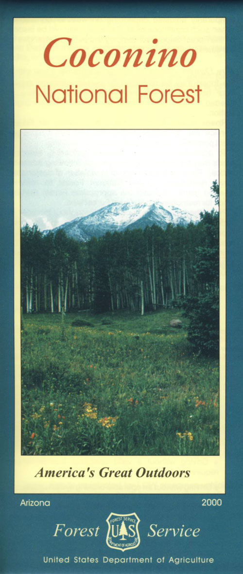
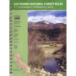
Coconino Map

OLDER VERSION

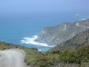
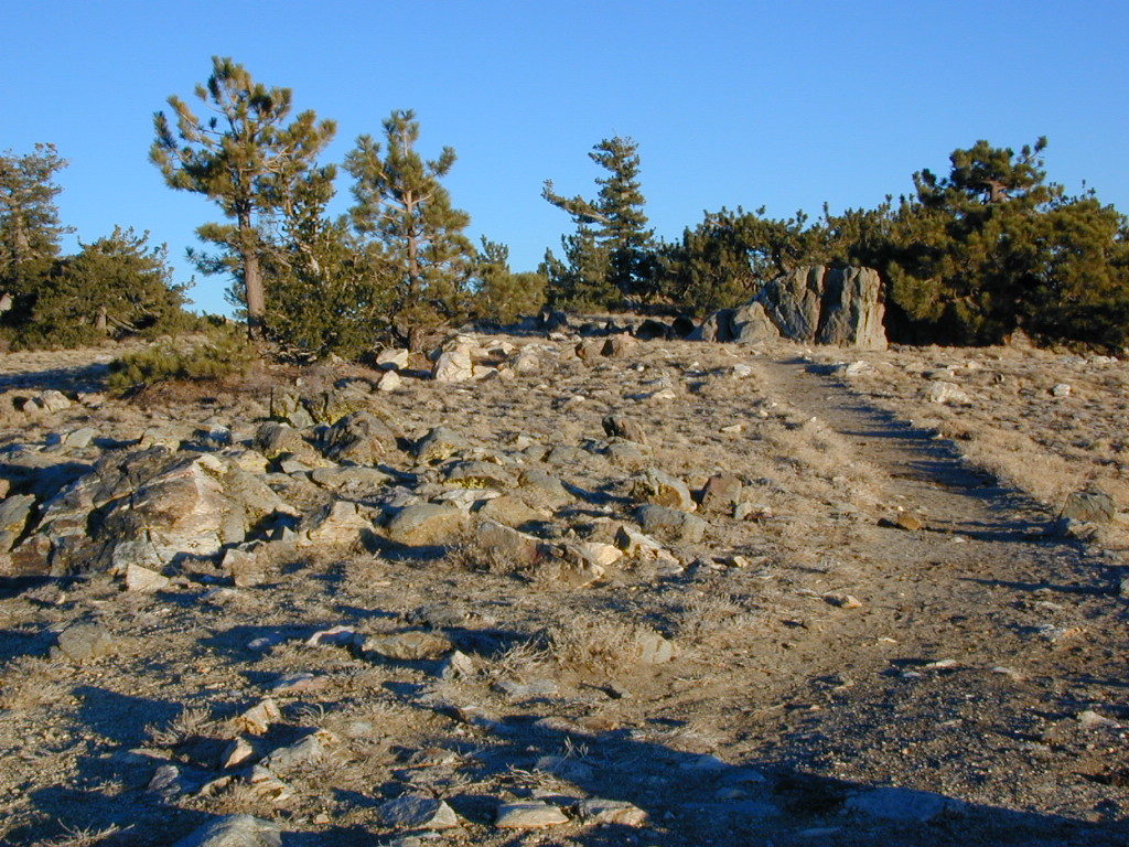
Explore the super scenic deserts of the Southwest US. These current Arizona Maps will help with road trip planning, sightseeing, driving routes, overnight camping and lodging options, not to mention trailheads, forest boundaries and flowing creeks. Discover more wilderness and less people, with a detailed, official USDA map.

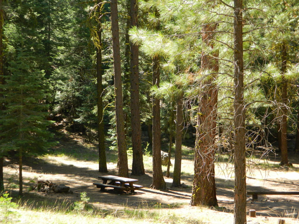
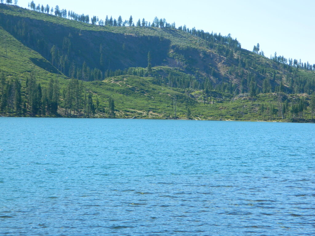
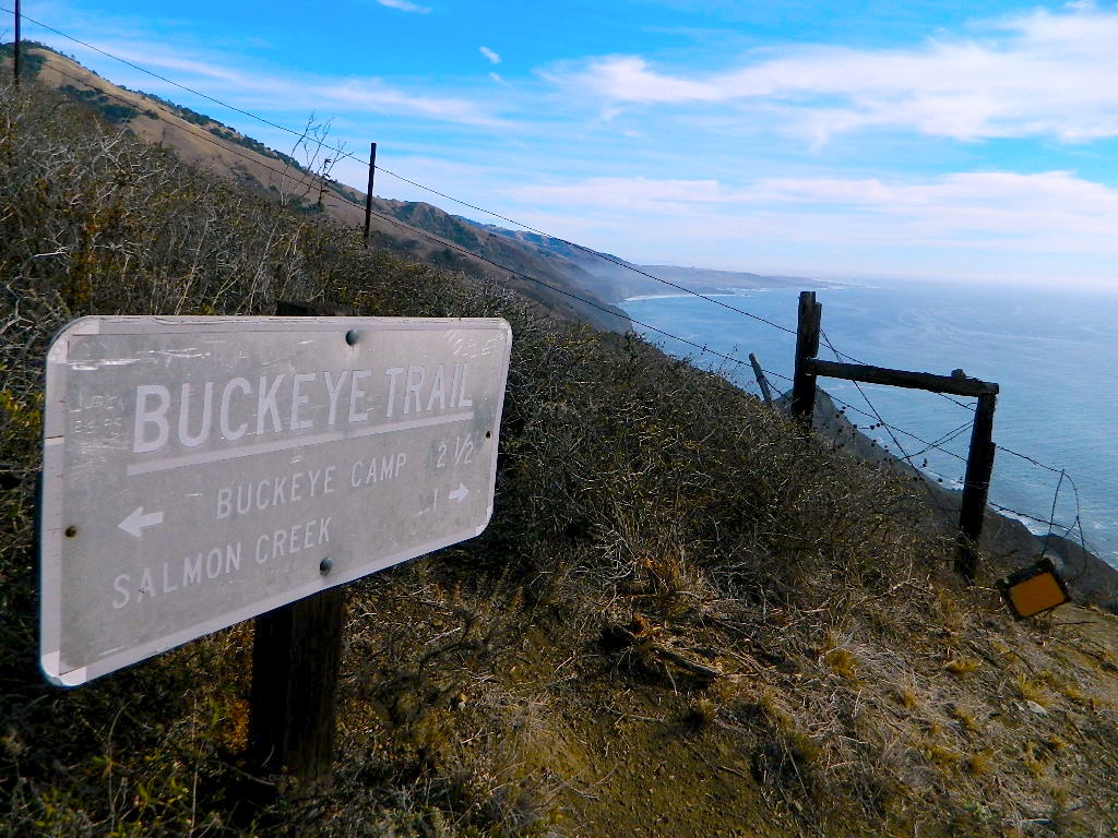
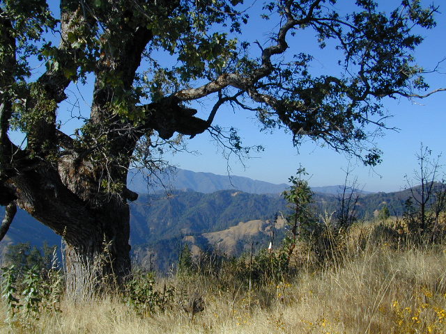
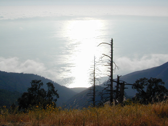
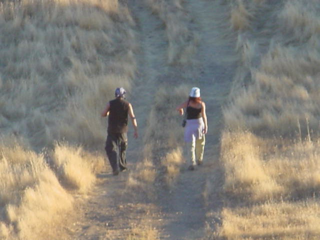
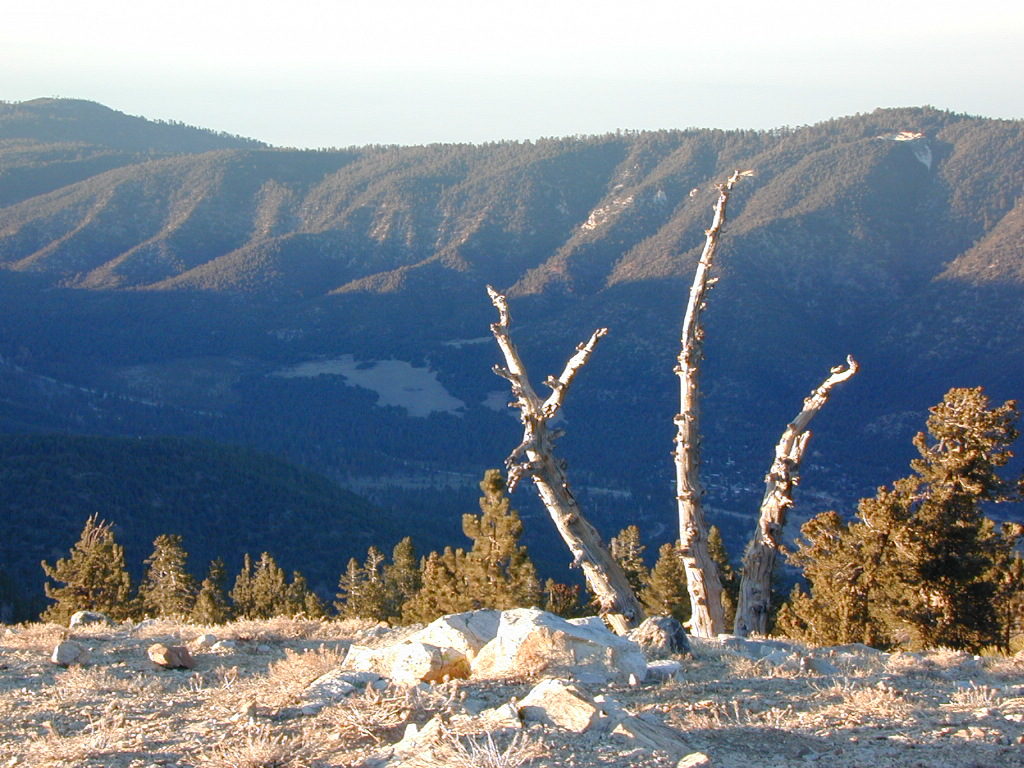
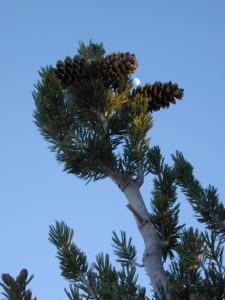
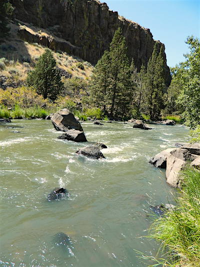
Scenic views of red rock canyons, stands of old-growth pine, streams, lakes, golden aspen groves in autumn, and snow covered slopes in the winter.  Backpacking, hiking, horseback riding, mountain biking, snow ski.

Coconino National Forest covers 1.8 million acres – varying from enchanting semi-arid desert, magnificent ponderosa pine forests, to incredible views from alpine tundra. Elevations range from 2,600′ in canyon bottoms to 12,643′ at the peak of San Francisco Mountain.


camping maps

see also – 

Flagstaff Sedona Map by NatGeo
Anza Borrego Desert Map

Ventana Wilderness Map

Ventana Wilderness
Big Sur Hiking Maps

Ventana Wilderness Map

Buckeye Trail in Silver Peak Wilderness

Several map makers offer topographic hiking maps for the Ventana Wilderness Map, located on the super scenic Big Sur coast in California. Silver Peak Wilderness is to the south of Ventana, and usually included on the same map. Perfect for day hikes, overnight backpacking trips or just getting an impressive view of the Pacific Ocean.

ventana map

Ventana Wilderness

Silver Peak Wilderness

Big Sur NatGeo Map

Ventana Wilderness Map USDA
found at USGS: Ventana Trail MapVentana Wilderness Map

Silver Peak Wilderness located inside the northern section of Los Padres National Forest (Monterey County California)

If you plan on backpacking the Big Sur Coast, this is the California topo map you will need. This map covers both the southern section – Silver Peak Wilderness & the northern most Ventana hiking areas. This map covers everything south and east of Andrew Molera State Park over to Sierra de Salinas near Hwy 101, and southward to Ragged Point & Windy Point in the southern Big Sur coastline. Camp in coastal redwood groves, hike the trails with outstanding views over the Pacific Ocean, and play in the numerous fern lined creeks.

Map printed with vegetable oil based ink, on waterproof polypropylene plastic. Might be available from Los Padres USFS Ranger Stations. USDA printing 2007; Scale 1: 63 – ISBN# 9781593514655

Ventana Wilderness Map

Big Sur Wilderness Press

Ventana Wilderness Map

big sur back roads

nearby towns:

Ventana Wilderness Map

ocean glare afternoons

day hikes big sur

see also –

Big Sur Books
Big Sur Maps
Los Padres National Forest Maps
Los Padres Forest Atlas

Los Padres Forest Topo Atlas

Los Padres Atlas
Topographic Map USDA

Los Padres Atlas USDA

Los Padres Forest Atlas

USFS, United States Forest Service – aka National Forests

Ventura, Ojai, Santa Barbara Mountains, Mount Pinos, San Luis Obispo, Big Sur Coast
Mountains: Central Coast California

Los Padres National Forest

Los Padres Forest Atlas

a spiral bound book – a collection of all the quads. (7.5 minute topographical maps, of all of Los Padres National Forest) It includes both Los Padres NORTH (Monterey) & SOUTH (Ojai/Pinos). This book map has detailed topo lines, mountain peaks, streams, lakes, hiking trails & back roads. Perfect for all kinds of recreational needs.

camp maps

Los Padres Forest Atlas

Older version of Los Padres Atlas

Los Padres Forest Atlas

Big Sur Coastal Mountains

Los Padres Forest Atlas

camping & exploring, Los Padres –
links and destinations

Pine Mountain @ Mil Potrero, as seen from top of Mount Pinos, CA

Mt Pinos California

pinos trails

Hiking Trails on Mount Pinos

see also –

Big Sur Maps
Los Padres National Forest Map
Sespe Wilderness Map 

Modoc National Forest Map

Modoc NF Map
NFS – USDA – U.S. Forest Service

Modoc National Forest Map

Modoc Country
Northeast California
Pit River, Warner Mountains

Modoc National Forest Map

Pit River in Jess Valley

MODOC NF Map

Modoc Country Map. Modoc & Lassen County, Alturas, Tulelake, Cedarville, Warner Mountain, South Warner Wilderness

Standard Issue. Ranger Map – NFS issued map. GPS: Longitude & Latitude; Rivers, Creeks, Peaks, Elevations, 4WD & every dirt BackRoad, Hot Springs, Equestrian Areas, all Campgrounds, Hiking Trails & BackPacking Trailheads. Northeast CA state.

Modoc Map

OLDER VERSION

Modoc National Forest Map
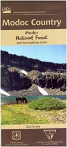
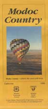
Areas include: Northeastern California, Modoc County, Lassen County, Alturas, Tulelake, Cedarville, Adin, Lava Bed National Monument, Devil’s Garden Wetlands, Big Valley, Doublehead, Warner Mountain, Goose Lake, South Warner Wilderness, Medicine Lake, Big Sage Reservoir, Clear Lake Reservoir, Lower Klamath Lake, Tule Lake Sump, Door Knob Snowmobile Area, Long Bell State Game Refuge, Oregon border.

Map Size: 39″x45″ overall / 4″x9″ folded; Printed on plastic.

see also – Modoc Topo Atlas

Modoc National Forest Map

Mill Creek Falls & Campground

Looking to escape the crowds in California? Then head north, way north, to the eastern reaches of Modoc. This remote, high-elevation area gets some serious winter weather and snow, so visiting during the warmer months would be ideal for -camping, backpacking, horseback riding, fishing, kayaking, hiking, hunting and off roading. Hundreds of miles of dirt roads weave in and out of dense forests, around lakes, over creeks and connect Alturas to Cedarville, CA

Northern California Forest / Modoc Country: Modoc National Forest

Wilderness areas in Modoc: South Warner Wilderness Map

Modoc National Forest Map

Blue Lake of Modoc NF

nearby towns: