Death Valley National Park Maps
Hiking, Camping, 4×4 Routes
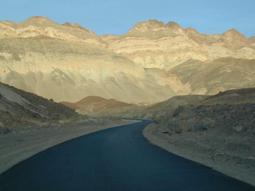
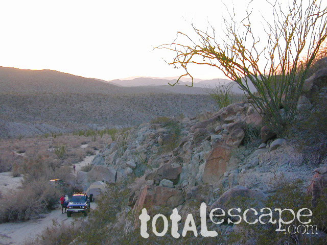
Artists Palette Drive (now paved)
Death Valley Trail Map
Topographical maps for DVNP can be found through Tom Harrison and National Geographic. Wilderness Press makes a couple of decent hiking books too.
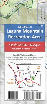
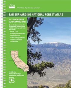
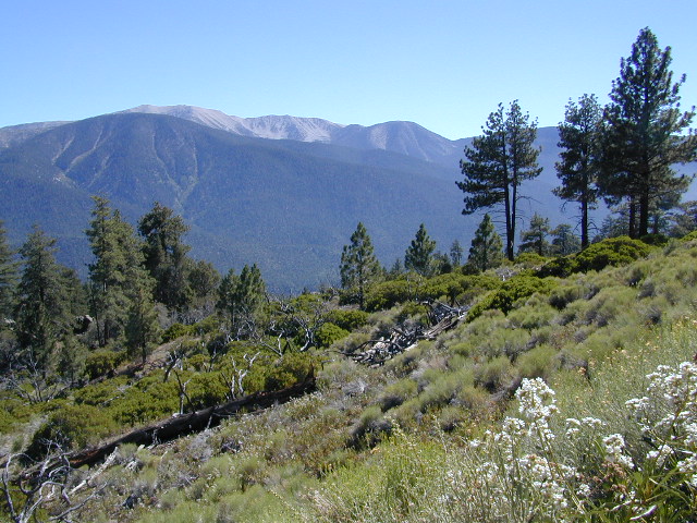
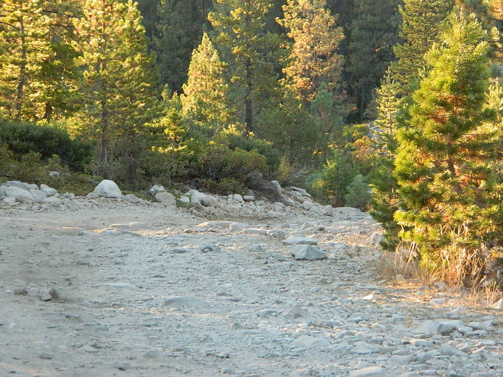
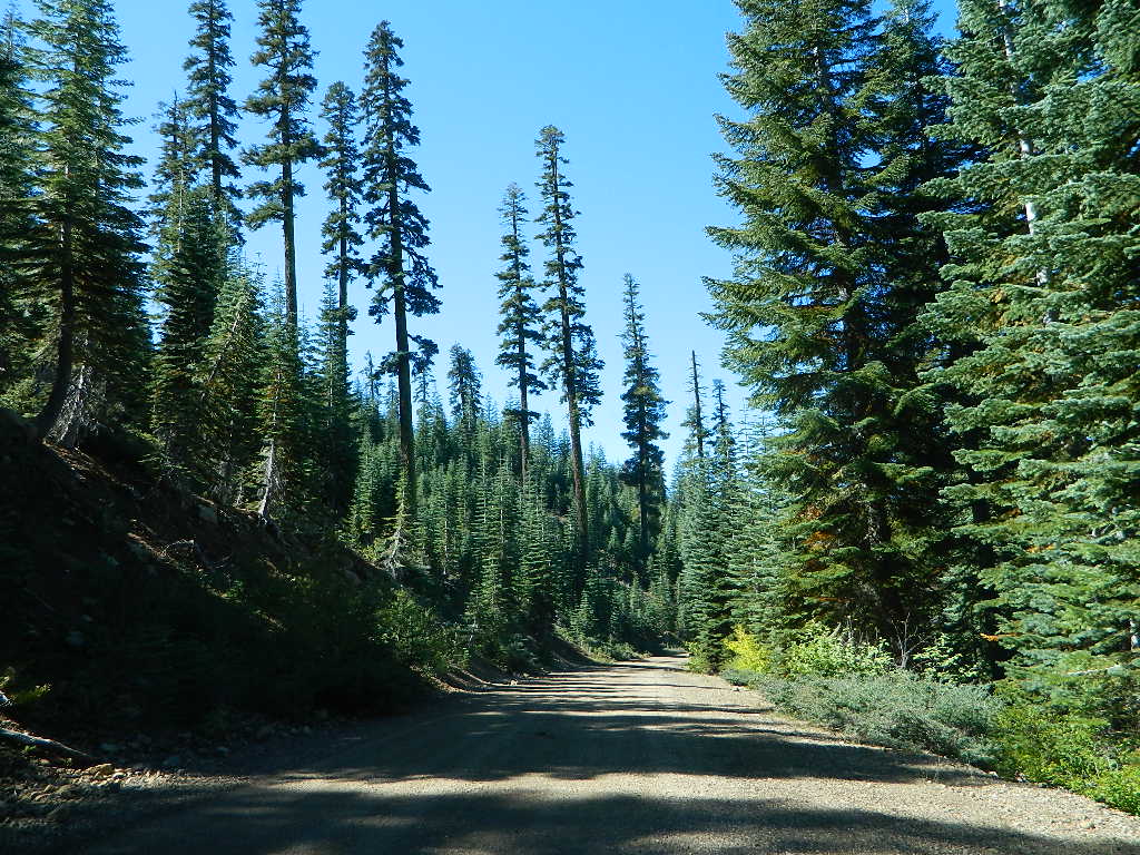
Inyo National Forest Map from the USDA covers tall mountain peaks west of the National Park. Panamint Valley, Saline Valley, Darwin, Ballarat ghost town are all located on the west side and are also featured on these topographic maps.
![]()
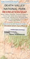
Death Valley Recreation Map, Tom Harrison
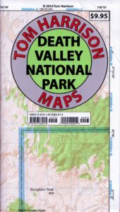
Tom Harrison Recreation Map: Death Valley Maps; Death Valley National Park CA, Furnace Creek, Stovepipe Wells. Eureka Dunes, The Racetrack, Panamint Valley Off Roading, 4×4 Death Valley, Skidoo, Shoshone, Darwin Falls, Darwin Wilderness, Eureka Dunes, Furnace Creek, Zabriskie Point, Stovepipe Wells, Teakettle Junction, 20 Mule Team Canyon, Goler Wash; Barker Ranch, Ballarat Ghost Town California Mining Districts, Mojave Mining Camps, Saline Valley Hot Springs; Durable, waterproof plastic map; Folded. Map Scale: 250K; ISBN# 9781877689574
![]() download digital version of this map –
download digital version of this map –
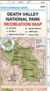
Death Valley Park Recreation Map
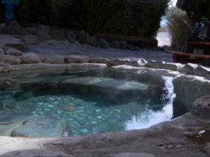
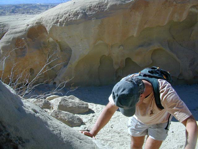
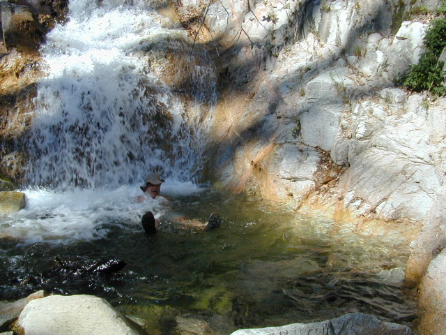
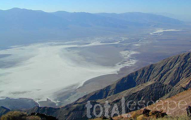
Saline Hot Pools @ Saline Valley, DVNP
OLD VERSION
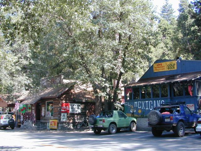
nearby towns –
REAL OLD MAP
Trails Illustrated Map, National Geographic Death Valley National Park Map #221
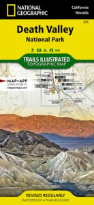
Trails Illustrated Map from National Geographic. Death Valley National Park map #221. Inyo Mountains, Inyo Desert Camping, Badwater, Telescope Peak, Panamint Valley, Panamint Range, Ballarat ghost town, Manson Cabin, Amargosa mountains, Death Valley Backcountry map. Hiking Map. Many, many dirt roads and old mining operations to explore. Very detailed & colorful. Waterproof Plastic Map; Tear Resistant. GPS data. ISBN#749717012219
Death Valley Maps, Death Valley National Park, Furnace Creek, Stovepipe Wells, Eureka Dunes, Panamint Valley, Scotty’s Castle, Barker Ranch, Manson Ranch, Furnace Creek, Stovepipe Wells. Eureka Dunes, The Racetrack, Panamint Valley Off Roading, 4×4 Death Valley, Skidoo, Shoshone, Darwin Falls, Darwin Wilderness, Eureka Dunes, Furnace Creek, Zabriskie Point, Stovepipe Wells, Teakettle Junction, 20 Mule Team Canyon, Goler Wash; Barker Ranch, Ballarat Ghost Town California Mining Districts, Mojave Mining Camps, Saline Valley Hot Springs