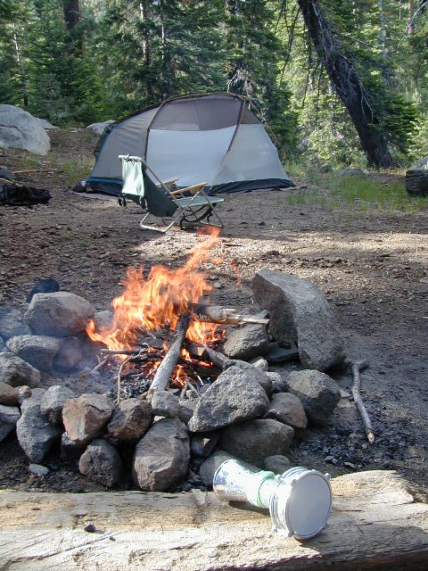
california tent camping map

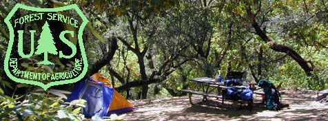
USFS, United States Forest Service
California National Forest Maps USDA
Total Escape began selling NFS maps online in 1999. Since then, we’ve seen the introduction of plastic, waterproof maps, handheld GPS units and the digital map revolution. Many map versions later, we still believe that “hard copy maps” are best when exploring the back country (where cell phone service is limited and often unavailable).

Angeles National Forest Map
Cleveland National Forest Map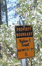
El Dorado National Forest Map
Inyo National Forest Map
Klamath National Forest Map
Lassen National Forest Map
Los Padres National Forest Maps
Mendocino National Forest Map
Modoc National Forest Map
Plumas National Forest Map
San Bernardino National Forest Map
Sequoia National Forest Map
Shasta-Trinity National Forest Map
Sierra National Forest Map
Six Rivers National Forest Map
Stanislaus National Forest Map
Tahoe National Forest Map
Toiyabe National Forest Maps

backpack trails, campground camps, fish, hike, kayak, mountain bike![]()
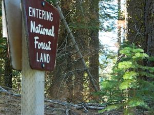
USFS – U.S. National Forest Service (aka NFS or USDA)
same thing as NF – National Forests of California
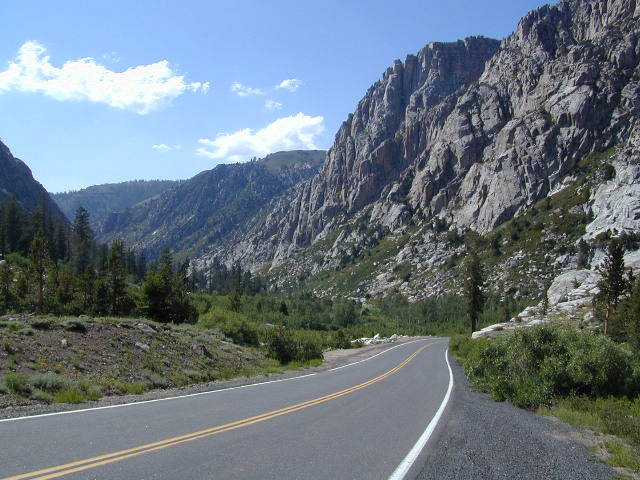
The Golden State of California is world renowned for its natural beauty, extreme terrain and its variety of landscapes. It is the most populated, as well as the number one destination for tourism in the nation. Abundant sunshine most of the year, means that people come here for a visit and stay for the nice weather.
Into the Wild
Outdoor Recreation is a big part of what attracts people, whether it be – day hiking, snow skiing, horseback riding, mountain biking, surfing, fishing, motorcycle riding, hang gliding, backpacking, camping, stargazing, hot spring soaking or wine tasting, there is always something to do or see, in glorious California.
see also –
NFS Forest Topo Atlases
PCT Topo Maps
California Recreation Maps
California Wilderness Maps
Sierra Nevada Maps
NFS Walk-in Campsites
Sonora Pass is California Highway 108
California National Forest Maps: find the very best BOONDOCKING camp sites.

