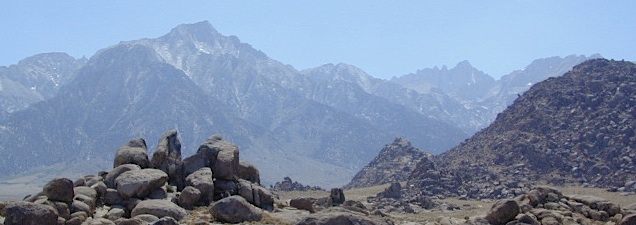
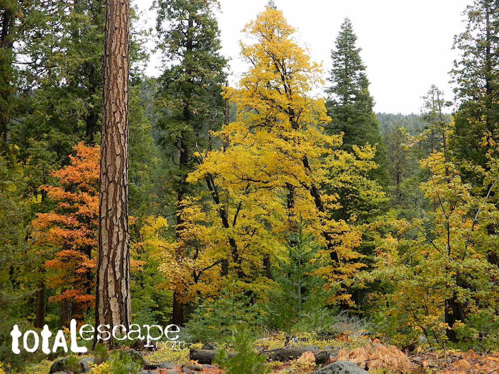
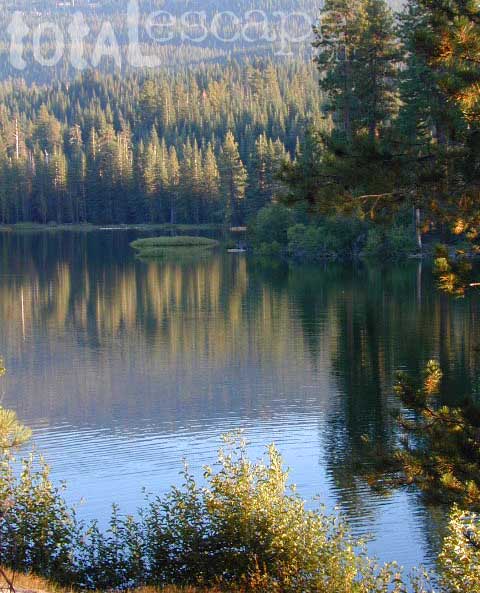
 The tallest mountain peak in the lower 48 means that this region is a super popular destination with avid hikers, mountaineers and backpackers alike. Physical fitness must be top priority in training for this ultimate bucket list choice.
Usually only accessible about half the year, due to snow (NOV-MAY) and permits are required. To obtain a wilderness hiking permit, you must get chosen from a lottery months in advance. No joke!
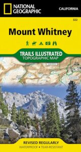
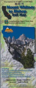
Mt Whitney Topo
by NatGeo Trails Illustrated
Mount Whitney High Country Map
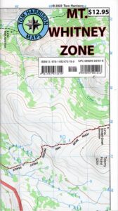
Mount Whitney Zone Map
both Topographic Maps by Tom Harrison (listed below)
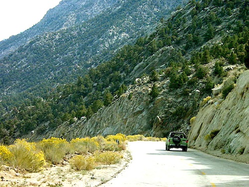
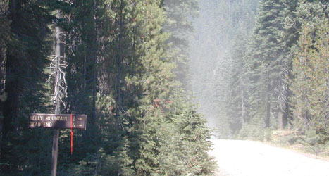
Whitney Portal Road
Mount Whitney Zone
Tom Harrison
OLDER VERSION
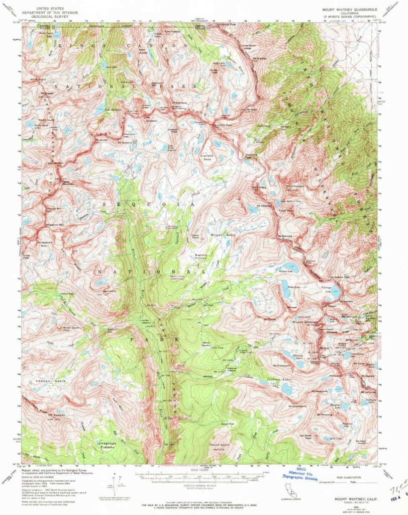
Mount Whitney Map, Whitney Portal. Topo Trail. Mt Whitney maps. Tom Harrison Trail Map: Mount Whitney Zone Trail Map, Lone Pine, CA; Areas include: Whitney Portal, Crabtree, Cottonwood Lakes, Rock Creek. Whitney Portal Trailheads, Outpost Camp, Trail Camp, Whitney Summit, Mountaineer’s Route, High Sierra Trail, Crescent Meadow, and the John Muir Trail Junction.
Durable, waterproof plastic map; Folded. Map Scale: 31.7K; ISBN# 9781877689697
![]() download digital version of this map
download digital version of this map
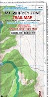
Mount Whitney Zone Map
![]()
Mount Whitney High Country Map
Tom Harrison
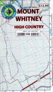
Mount Whitney High Country Map, Whitney trail map, Topo trails. Tom Harrison Trail Map: Mount Whitney High Country, with Lone Pine California. Pear Lake, Lodgepole, Mineral King, Mt. Whitney Peak, Kern Canyon, Ash Mountain, Whitney Portal, Little Five Lakes, Bearpaw Meadow, Triple Divide Peak, Cottonwoods Lakes, Horseshoe Meadow. Eastern Sierra, High Sierra Backpacking, Mount Whitney Map, Hike, Inyo National Forest, Eastern Sierra, Mount Whitney Map by Tom Harrison, Hike, Inyo National Forest, Eastern Sierra Hikes, Mt Whitney California Topo, Waterproof, Topographic Maps California, Sierra Whitney Hike, High Country Trails, California Sierra Mountains Durable, waterproof plastic map; Folded. Map Scale: 63K; ISBN# 9781877689512
![]() download digital version of this map
download digital version of this map
Mt. Whitney High Country Map
additional
MT. WHITNEY MAPS
see also –
NatGeo Mount Whitney Map
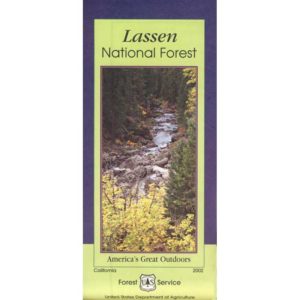
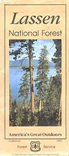
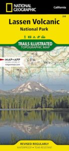
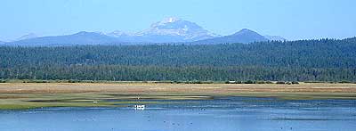
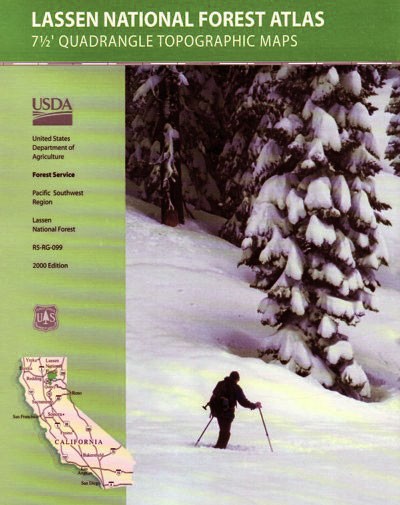
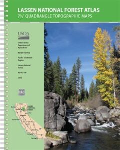
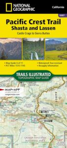
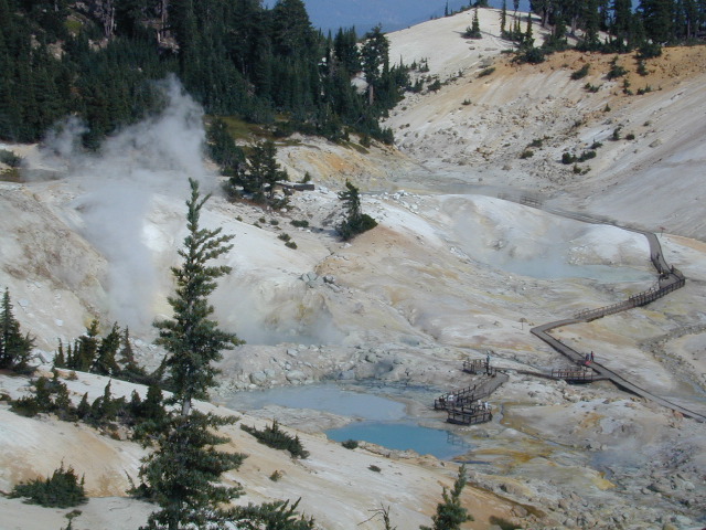
 Lassen National Forest Map includes all of Lassen Volcanic National Park too.


