Golden Trout Wilderness Map

Golden Trout
Wilderness Area Maps
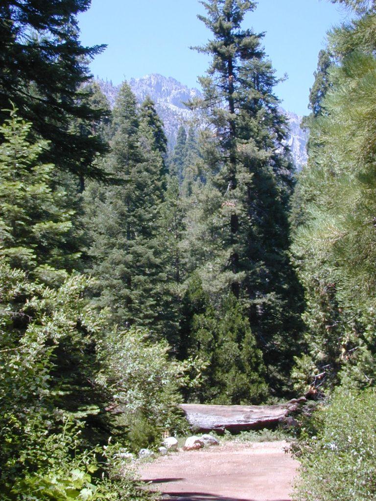
Mtn Home

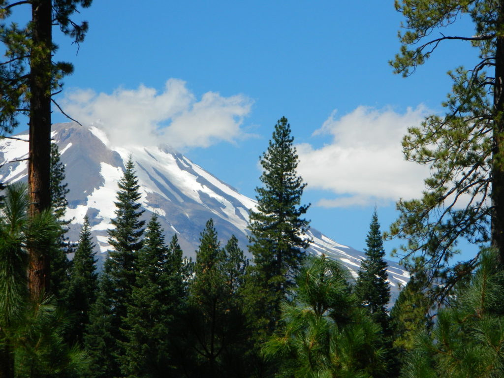
Golden Trout as seen from Mountain Home SF (2010)

Golden Trout / South Sierra Map
Golden Trout Wilderness USDA
Kern River Gorge
South fork of Kern River
Upper Kern River
Backcountry Sequoia
California

    • backpack trails
    • hiking trails
    • fishing lakes/streams
    • horse packing
    • hot springs
    • kern river
    • horse trails

Tom Harrison
Golden Trout Trail Map

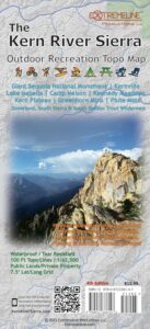
Tom Harrison Map Kern

hiker

Golden Trout Wilderness
and South Sierra Wilderness

NFS

goldentrout
Golden Trout Wilderness Map
US Forest Service USGS

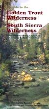
Official Trail Map for the U.S. National Forest Service. Map scale 1:63,360. Contour lines at 80 foot intervals show elevation. Detailed road network shown. Encompassing 475 square miles in the Sequoia and Inyo National Forests. Map Scale = 1″ to mile; Usually only found at Ranger Stations. MAY BE DISCONTINUED. Printed on paper in 1995.

Golden Trout Wilderness Trail Map, Sequoia National Forest, South Sierra Backpacking Maps, Forks of the Kern River Map, Jerky Meadow Trailhead, Big Whitney Meadow, Kern Peak, Coyote Peaks, Grey Meadow, Little Kern River, Kern Canyon, Jordan Hot Springs, Casa Vieja Meadow, Monache Meadows. Topo Sequoia Camping Kern River.

horseback

see also –
Golden Trout Wilderness Trail Map
Dome Land Wilderness Map
South Sierra Wilderness Map
Kern River Maps
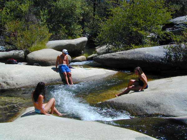
goldencold

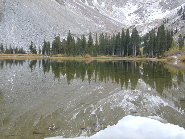
Creek dipping at Camp 4, Sequoia NF

JERKY MEADOW trailhead Forks of the Kern, located at the end of Sequoia forest road #22S82 also has numerous primitive camp sites located near the Kern Gorge. A moderate day hike will lead to waterfalls, swimming holes and granite bowls like these. Steep trails lead further down to the river 1000′ below. Forks of the Kern, Upper Kern River, Kern Hot Springs, Golden Trout Kern, Golden Trout Wilderness Area, South Sierra, Kern River Fishing, Camping, Backpacking Jerky Trailhead. Kennedy Meadows, California.

recent wildfires in this area:

Windy Fire 2021
Castle Fire / SQF Complex 2020forestKern River Map

Ansel Adams Wilderness Trail Map

Ansel Adams Trail Map
Tom Harrison

Ansel Adams Trail Map

Yosemite National Park Hiking Backpacking Maps

Ansel Adams Trail MapTom Harrison Trail Map: Ansel Adams Wilderness, Eastern Sierra Topographic maps for hiking and backpacking. Back road exploring and lake fishing too. This map has an amazing amount of alpine lakes & mountain destinations – from the western Sierra to the east side. Tioga Pass, Yosemite Wilderness, June Lake Loop, Mammoth Lakes, Gem Lake, Thousand Island Lake, Minarets, Silver Divide, Lake Edison, Mono Hot Springs, Mammoth Pool Reservoir, Clover Meadows and Granite Creek. Also included is the Mono Basin National Scenic Area, Mono Lake California. Durable, waterproof plastic map; Folded. Printed in 2010. Map Scale: 1:79,200 ISBN# 9780981834429

Ansel Adams Trail Mapdownload digital version of this map
Ansel Adams Wilderness Map

Ansel Adams Trail Map

Fern Lake, hike-in only. Off June Lake Loop Highway 158

The Ansel Adams Wilderness is a wilderness area in the Sierra Nevada of California, United States. The wilderness spans 231,533 acres – much of which is located inside the Inyo and Sierra National Forests, and the remaining acres covers nearly all of Devils Postpile National Monument. Yosemite National Park lies to the north and northwest, while the John Muir Wilderness lies to the south.

Ansel Adams Trail Map

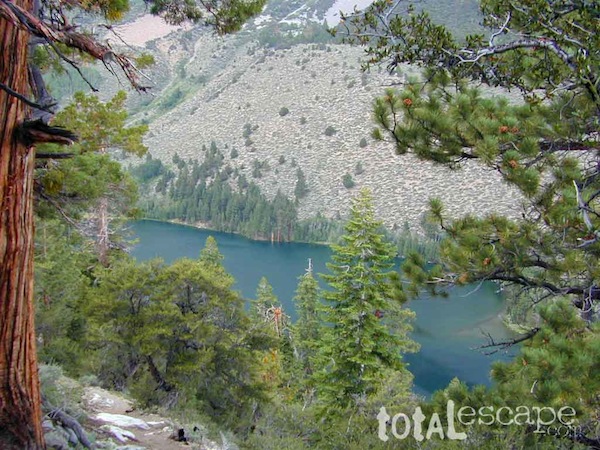
Walker Lake in Bloody Canyon, NW of June Lake Loop

see also –

Inyo National Forest Map
Inyo Forest Atlas
John Muir Wilderness Map
Yosemite Maps by Tom HarrisonĀ 

Rock Creek OHV Map

OUTTA PRINT
[NO LONGER AVAILABLE]

Gold Country Trails
El Dorado National Forest
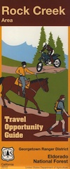
Rock Creek OHV Map

Older Rock Creek off-road map had a new name and was split into 2 maps. Gold Country Foothills OHV. This forested area is just west of the 4×4 Rubicon Trail and very popular among the off roaders and equestrian riders.

Eldorado Travel Opportunity Guide (North)
Georgetown @ Rubicon

Eldorado Travel Opportunity Guide (South)
Amador & Placerville

rock creek OHV

OLD VERSION

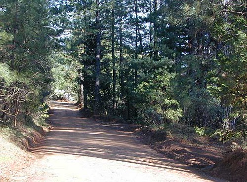
Rock Creek OHV inside El Dorado National Forest, Georgetown Ranger District. Multi-use recreation area near the central Sierra Nevada Gold Country. Darlington Ridge Mountains, Quintette, Bear Creek Road, Bald Mountain Canyon, Mace Mill, Dutch Canyon, One-Eye Creek Trail, Wentworth Springs, Balderson Corral, Dru Barner Campground. This RockCreek is on the western side of the Sierra Nevada range, not to be confused with the Eastern Sierra Rock Creek, N of Bishop, CA

USDA, waterproof, topographic map with hiking, equestrian and off road trails. Dirt bikes, quads, 4×4 rigs. OHV routes, creeks, rivers, trailheads, back roads and one campground. Georgetown hikes. hiking. Waterproof plastic. Scale 1:29,816 / GPS shown in degree minute format.

nearby towns –

You may need to really search to find a 4WD map for this area.

Below is a good overview map, a topo map, a link to local books, for the Gold Country region of California

Gold Country Books

Gold Country 2000

Mount Shasta Wilderness Trail Map

Mount Shasta Trail Map
Mt Shasta Trail Maps / Mount Shasta Trail Map / Mt Shasta Topo Map

Mount Shasta Wilderness Trail Map
hikerTom Harrison Topo Trail Map
Camping & Climbing Mt. Shasta Wilderness, CA; Shasta Backpacking. Durable, waterproof plastic map; Folded. Map Scale: 42K; ISBN# 9781877689758

Mount Shasta Trail Map

older map edition


  • backpackingfish
  • camping
  • fishing
  • hiking
  • horseback
  • mountain biking
  • mountaineering
  • snow shoeMount Shasta Trail Map
  • snow ski xc
  • snowmobiling

Shasta Map by Wilderness Press

Mount Shasta Trail Map

towns nearby:

see also –
Mount Shasta Castle Crags Map