Mokelumne Wilderness Maps

Mokelumne Maps

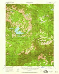
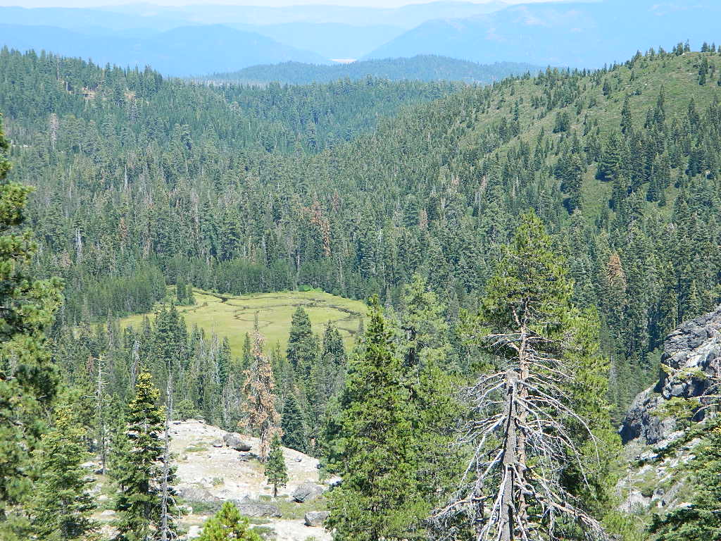
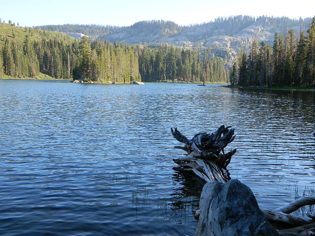
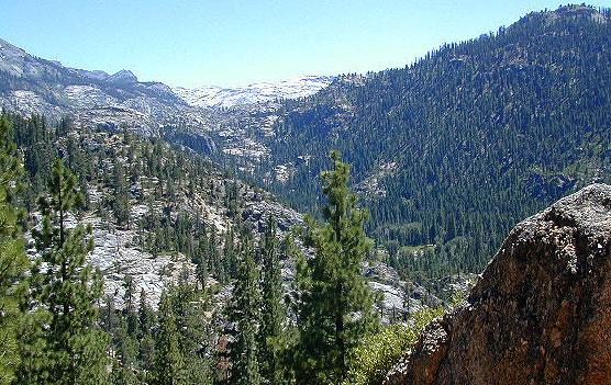
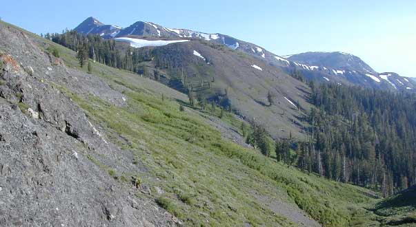
Mokelumne sits in between Carson Pass (Hwy 88) and the Ebbetts Pass (Hwy 4) – a vast Sierra mountainous area, south of Lake Tahoe. With high elevation passes that are usually closed more than half the year due to deep snow, this area becomes summer vacation haven for outdoor seekers. Mokelumne Wilderness Maps can show you the details for picnics, day hikes, trailheads, backpacking routes, horse packing trail camps, alpine lakes, reservoirs and the Mokelumne River.

Wilderness Topographic Map

Mokelumne Wilderness is located in the Central Sierra Nevada mountains, above the Gold Country foothills, in between Hwy 88, 89 and 4; due south of Lake Tahoe. Fish, mountain bike, kayak, camp, backpack, horseback. It is all out here in gorgeous-ville. Lakes and peaks, rivers and creeks. All of this beauty and adventure waiting for you, but only accessible half the year (or less) – due to snow. Certain areas are designated Hiking Mapfor winter recreation, cross country skiing and snowmobiling.

Mokelumne is bordered by 3 National Forests, in the middle of the Sierra Nevada mountain range: Stanislaus NF, El Dorado NF & Toiyabe NF.

Mokelumne Map USDA
found on USGS

mokelumne map USDA

Mokelumne Map

PREVIOUS EDITION MAP

Hiking Topo Map
Mokelumne Wilderness Map
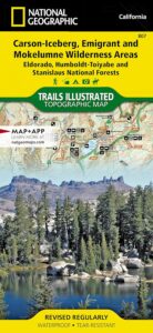
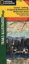
#807 NatGeo

National Geographic produces high quality topo maps with Trails Illustrated. High elevation, outdoor recreation highlights, trailhead parking, all roads, all trails, all campgrounds, peaks, lakes. GPS info. Full color, 2 sided map. Map 807

Topo Maps Mokelumne

Salt Springs Reservoir

Mokelumne Wilderness

Bordering the wilderness lands for day hikes and car camp on the outskirts. Plenty of dirt road in this region will lead to dispersed camp sites. Or do a backpacking week, or a horse pack adventure – deep into the untouched wild country of the Sierra Nevada mountains.

towns nearby:

Camgrounds Maps

Free Camgrounds in the Sierra

see also –

National Forest Maps

Mendo Forest Topo Atlas


Mendocino Forest Topo Atlas

Mendocino National Forest Atlas

Mendocino Topographic Atlas USDA

NorCal Coastal  Forests / Clear Lake California

2022 currently unavailable on Amazon; might still be found at local ranger stations

The MENDOCINO National Forest Atlas, is a spiral bound book – a collection of all the quads. (7½minute topographical maps, of all of Mendo National Forest, California) This book map has detailed topo lines, mountain peaks, streams, lakes, hiking trails & back roads. Perfect for all kinds of recreational needs. Printed in 2016. ISBN# 9781628114201

Mendocino National Forest Atlas

Fouts Springs Camping Area, Mendocino Forest – the EAST SIDE

Mendocino National Forest Atlas

Mendocino National Forest QUADS:
from south to north – Mendocino National Forest Atlas

  • Benmore Canyon
  • Clearlake Oaks
  • Lucerne
  • Hough Springs
  • Bartlett Springs
  • Bartlett Mountain
  • Upper Lake
  • Gilmore Peak
  • Fouts Springs
  • Potato Hill
  • Elk Mountains
  • Potter Valley
  • Foster Mountain
  • Van Arsdale Reservoir
  • Lake Pillsbury
  • Crockett Peak
  • Saint John Mountain
  • Stonyford
  • Elk Creek
  • Felkner Hill
  • Kneecap Ridge
  • Hull Mountain
  • Sanhedrin Mountain
  • Brushy Mountain
  • Chrome
  • Alder Springs
  • Plaskett Meadows
  • Plaskett Ridge
  • Thatcher Ridge
  • Newhouse Ridge
  • Mendocino Pass
  • Log Springs
  • Hall Ridge
  • Newville
  • Paskenta
  • Riley Ridge
  • Ball Mountain
  • Buck Rock
  • Leeche Lake Mountain
  • Bluenose Ridge
  • Four Corners Rock
  • Wrights Ridge
  • Soloman Peak
  • South Yolla Bolly Mountains
  • Raglin Ridge
  • North Yolla Bolly Mountains
  • Black Rock Mountain
  • Swim Ridge
Mendocino National Forest Atlas

Dirt Roads = Secluded Camping


2021 UPDATE: Much of this coastal mountain National Forest was ravaged by wildfire both in 2018 and in 2020, so expect to have limited access for a while.

Ranch Fire (2018), part of the larger Mendocino Complex fire, took out all the southern end of the forest, including the Snow Mountain Wilderness.

459,123 acres burned in 2018

https://en.wikipedia.org/wiki/Mendocino_Complex_Fire

https://en.wikipedia.org/wiki/August_Complex_fire

Lightning strike wildfires began in mid-August 2020, wiping out the other half of the forest. With the limited fire fighters during the pandemic, the wildland fires ranged for months, filling the whole of Northern California with thick and toxic smoke. The massive August Complex fire is now the largest in state record – with over a million acres burned.

1,032,648 acres burned in 2020

Needless to say, there will closures on many roads throughout this Mendocino NF region, due to fire cleanup, repairs and salvage logging.  This includes some campgrounds, lakes, and meadows (or glades as they call them).  Contact the local ranger station to find out what is open and when. Gated roads may be found throughout this forest.

Primitive Camping Mendocino

Primitive Camping Road #308

Yosemite High Country Map

Yosemite High Country Map
by Tom Harrison Maps

Yosemite High Country Map. Topographic; Backpacking Yosemite Backcountry, Topo Maps of Yosemite National Park Highcountry, Camping Yosemite Park Hiking Trails.

2022: OUTTA PRINT & UNAVAILABLE

HIGH SIERRA LOOP
TOPO MAP YOSEMITE

Durable, waterproof plastic map; Folded. Map Scale: 63K; ISBN# 9781877689581

Explore the Yosemite high elevation back country with this detailed topographic map, which gives contour lines, trails and information for campers, hikers, and outdoor enthusiasts. GPS compatible w/ complete UTM grid. Beautifully designed over the USGS topographic quads, enhanced with shaded relief.

Includes these areas: Merced Lake, Wawona, Ten Lakes, Tuolumne Meadows, Tioga Pass, Vogelsang, Bridalveil Creek

Yosemite Maps

OLD EDITION

Yosemite Mapdownload digital version of this map –
Yosemite High Country Map

Yosemite backcountry Map

Granite slopes trail hike to Merced Lake

Highest peak in Yosemite National Park with the best granite scenery and alpine lakes, forests, wildlife and of course, epic views around every bend. Horseback or hiking trails are the only way to enjoy this amazing place. But please remember that it is often buried in deep snow more than half the year, so you only get a few months (summer) to enjoy this landscape and hike the best trails in the Sierra.

hikers map

Yosemite Topo Map

CLICK TO ENLARGE

Yosemite High Country Map

ALPINE LAKES, Yosemite National Park

Yolla Bolly Wilderness Map

Yolla Bolly Map USDA

both Yolla Bolly Wilderness & Middle Eel Wilderness on one map

UNAVAILABLE, see below for topo maps

Yolla Bolly Wilderness MapYolla Bolly Map / Middle Eel Wilderness
part of Mendocino NF & Shasta Trinity NF

This mountainous area is located in between the Mendocino coastline and the North Sacramento Valley. Waterproof plastic map paper. 1″ to mile; Perfect for a day hike reference or extended backpacking adventures. Map found only at Mendocino Ranger Stations.  No longer available online.

Yolla Bolly Wilderness Map
REAL OLD VERSION

Atop the California Coastal Range in Northern California, lying in between US Hwy 101 (redwoods) and Interstate 5 (valley), are two prominent peaks: North Yolla Bolly (7863′ elev) and South Yolla Bolly (8092′ elev) which are part of a wilderness area, that has no roads crossing the range and does get some snow. To the north side is Shasta Trinity National Forest and on the south is Mendocino National Forest.

Numerous headwaters begin up here – South fork of Cottonwood Creek (flowing northeast); South fork of the Trinity River (flowing north); Thomes Creek (flowing east), Middle fork of the Eel River (flowing south).

North Yolla Bolly Topo
Yolla Bolly Wilderness Map

South Yolla Bolly Topo

towns nearby: