Ishi Wilderness Map

Ishi Hiking Map

Ishi Wilderness Map

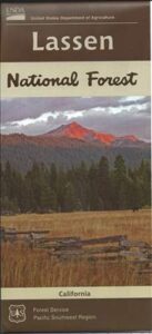
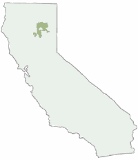
This Northern California map issued by the USDA National Forest includes 3 separate wilderness areas –

Ishi @ Cohassett / Chico Hikes / Lassen Maps

Caribou Wilderness, Ishi Wilderness & Thousand Lakes Wilderness

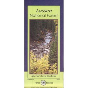
Lassen National Forest

Caribou Wilderness, Ishi Wilderness, Thousand Lakes Wilderness are all featured on this USDA topo map. Perfect for a day hike reference or extended backpacking adventures. Map Scale = 1″ to mile; Printed on waterproof plastic paper in 1997.

This map might still be found at USFS Ranger Stations in Oroville or Red Bluff, CAIshi Wilderness Map

towns nearby:

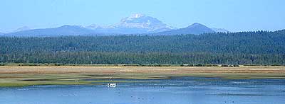
downhill from a volcano, Lassen Peak

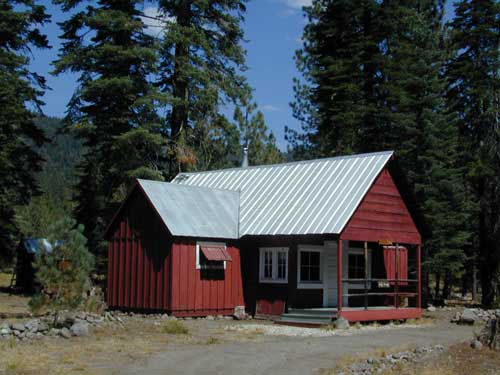
This mountain foothill land is etched by wind and water, and dotted with basalt outcroppings, caves, and unusual pillar lava formations. The land is a series of east-west running ridges framed by rugged river canyons, with the highest ridges attaining elevations of 4000′. Deer Creek and Mill Creek are the principal drainages and flow into the Sacramento River.

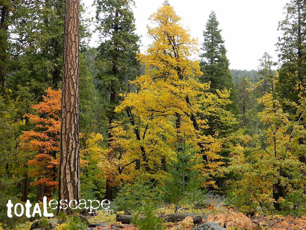
oak forestsThe sun-baked south slopes are covered with chaparral brush. Pines and oaks thrive on the moister slopes facing north and lush damp forests line the river banks. This area is home to pine clusters, dense areas of ponderosa pine growing on terraces in river cut canyons.

Oh Deer! The largest migratory deer herd in California, the Tehama deer herd, winters in this Ishi wilderness area. In addition, wild hogs, mountain lions, black bears, coyotes, bobcats and jack rabbits also live out here. A State Game Refuge, where hunting is not permitted, occupies most of the Ishi Wilderness.

However, special fishing regulations are in effect for fishing in Deer and Mill Creeks, home to many fish species. And of course, a valid California fishing license is required.

A variety of raptors including hawks, eagles, falcons, and owls nest in the rock cliffs. Wild turkey, quail, mourning doves, canyon wrens, band-tailed pigeons, bats and many songbirds are frequently seen.

Ishi Wilderness Map

Luckily, there are additional choices for Lassen Maps:

see also – 

Lassen Books
Lassen Forest Topo Atlas
Lassen National Forest Map USDA
Lassen Park Maps
Bucks Lake Wilderness Map
Fishing Maps

 

Lassen Park Map

Mount Lassen

NatGeo Lassen Volcanic Map

Northern California:Lassen Park Map
Lassen Volcano National Park
Lassen National Forest
Lassen Lakes
Lassen Camping

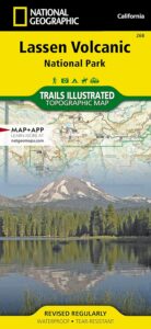
National Geographic Maps are full color, waterproof plastic; 2-sided, updated regularly. Campgrounds, trailheads, all roads, rivers, creeks, lakes. Trails Illustrated, National Geographic Map #268; 4.1 x 0.3 x 9 inches; ISBN# 9781566956796

lassen park map

Lassen Park MapLassen National Forest surrounds Lassen Volcanic National Park. Lake Almanor, Susanville, Fall River Mills, Burney Falls, Juniper Lake, Drakesbad Ranch, Bucks Lake Wilderness NatGeo w/ GPS: Longitude & Latitude; Rivers, Creeks, Peaks, Elevations, 4WD & every dirt BackRoad, Hot Springs, Equestrian Areas, all Campgrounds, Hiking Trails & BackPacking Trailheads.

NFSLassen National Forest
NPS Lassen National Park

Lassen Park Map

Eagle Lake, Susanville

Lassen Park MapAreas include: Northern California, Butte County, Tehama County, Shasta County, Plumas County, Lassen County, Burney, Ahjumawi Lava Springs State Park, Thousand Lakes Wilderness, Manzanita Lake, Mineral, Shingletown, Ponderosa Sky Ranch, Hwy. 89, Hwy. 36, Lassen Volcanic Peak, Stover Mountain, Feather River.
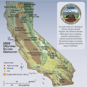
Lassen Park Map

USGS Volcano California

see also –
Lassen National Forest Map USDA
Lassen Forest Topo Atlas
Ishi Wilderness Map 

Lassen Topo Atlas

Mount Lassen Atlas
Lassen National Forest Topo Map

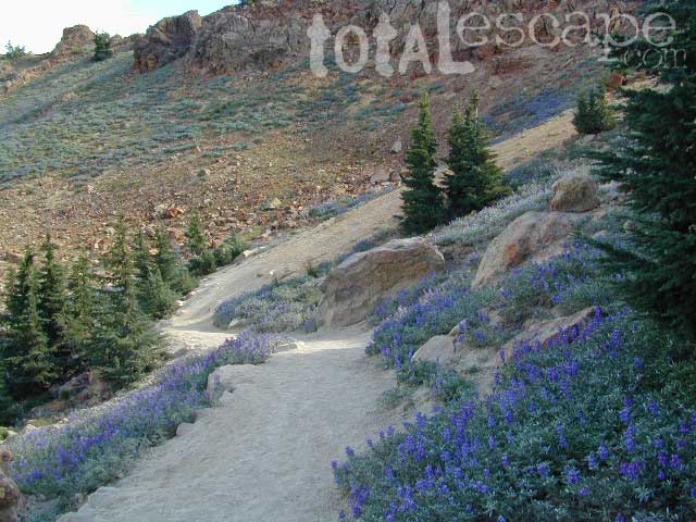
Lupine Hikes to Lassen Peak

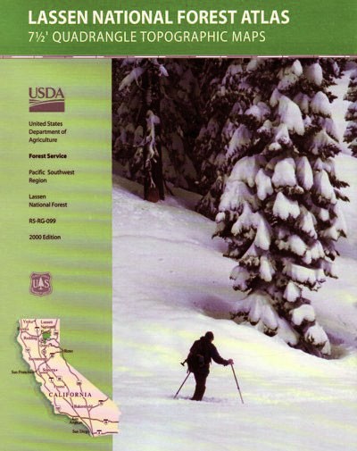
Atlas includes both the Lassen Volcanic National Park & the surrounding Lassen National Forest.

Lassen Peak, Lake Almanor, Buttes Meadows, Westwood, Susanville, Eagle Lake, Hat Creek, Burney Mountain, Lassen National Park

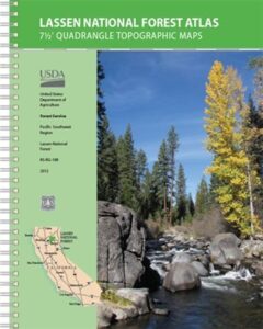
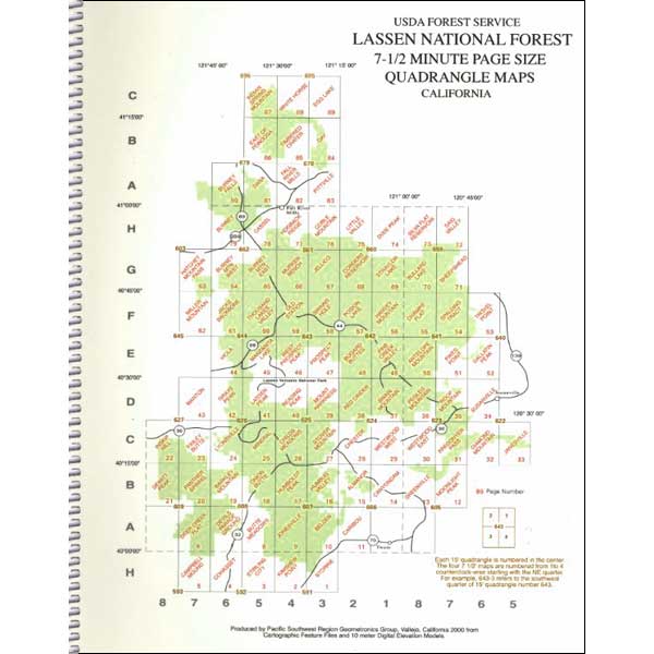
The LASSEN atlas, is a spiral bound book – a collection of all the quads. (7.5 minute topographical maps, of all of Lassen National Forest, plus the Lassen Volcanic National Park) This book map has detailed topo lines, mountain peaks, streams, lakes, hiking trails & back roads. Perfect for all kinds of recreational needs. USDA printed in 2012. ISBN# 9781593519216

road17autumn

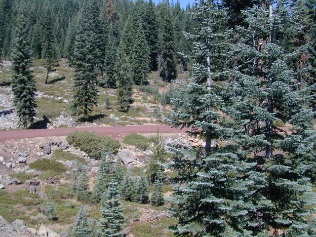
Lassen Road #17 in Autumn

Lassen National Forest
Lassen National Park

Lassen National Forest QUADS:hikers map
from south to north –

PDF maps


If you happen to have a printer handy, plus ink and plenty of paper, may we suggest another option. Printing your own.

Printable PDF Quad Maps
from the USDA web site @

https://www.fs.usda.gov/detailfull/lassen/maps-pubs/?cid=fsm9_034481

Lassen Lakes

Lassen Lakes – for camping, fishing, hiking and kayaking

see also –
Lassen National Forest Map USDA
Lassen Park Maps
Lassen Books
Lassen Camping
Lassen Lakes
Lassen Forest Roads

Lassen Forest Atlas

lassen_atlas

Old version of Lassen Forest Atlas


Lassen Books

Lassen Peak, Lassen Volcanic National Park, Mount Lassen

Lassen Books

Lassen Books

Lassen Books

Lassen Books

Lassen Books

The Lassen Volcanic National Park is visited by more than 350,000 people every year. Incorporating more than 150 miles of hiking trails, it is visited by people looking to hike or backpack during the summers. Popular winter activities include snowshoeing and backcountry skiing. As the second-tallest volcano in Northern California, trailing only Mount Shasta, Lassen Peak is frequently visited by climbers and hikers from around the world. The summit opens for use most years near the end of June, remaining in use until snow falls in October or November.

The mountain’s summit trail can be accessed from a parking lot on the northern side of the California State Route 89. The Lassen Peak Trail, which starts from this parking area, runs for 2 ½ miles with switchback turns, a round-trip hike 5 mi in length that ascends approximately 2,000 feet from the trailhead at 8,500 feet to the summit at 10,457 feet. From the northeast summit, Lassen’s 1915 mudflow and Prospect Peak are visible; the northwestern summit offers views of Lassen’s two bowl-shaped craters and Mount Shasta, 80 miles to the north. The southern entrance to the park area has a winter sports area where visitors can ski, snowshoe, and within the Lassen National Forest, visitors can also bicycle, go boating, or use snowmobiles.

see also –

Lassen National Forest Map 
Lassen Forest Atlas 
Lassen Park Map 
Ishi Wilderness Map