4×4 Guide Tahoe NF

4×4 Tahoe Trail Maps
Off Roading Routes

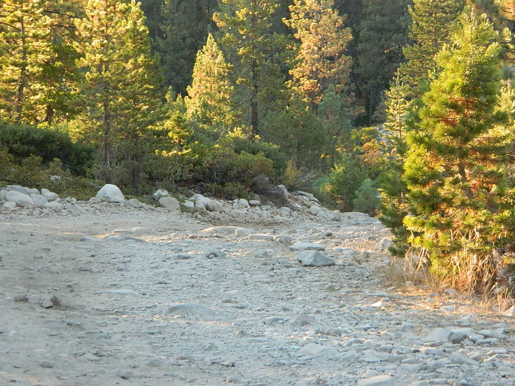
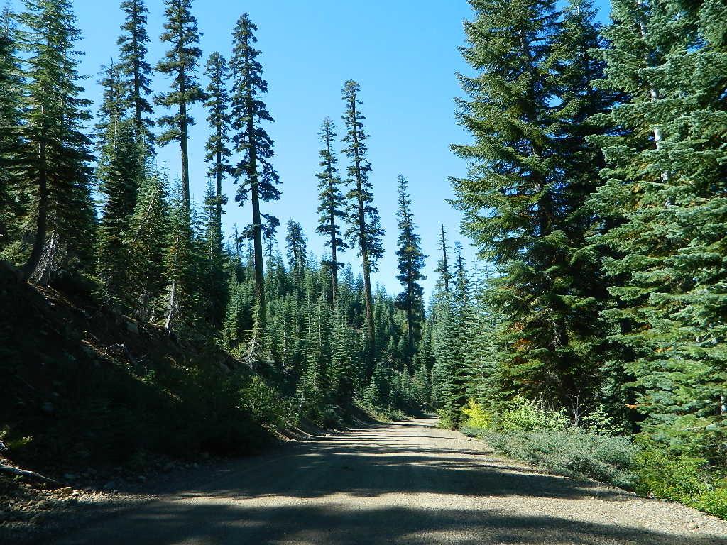
4x4 maps4×4 Tahoe Trail Maps: Explore the 4WD (four wheel drive) dirt and gravel roads inside the Lake Tahoe region. The Lake Tahoe off roading trail maps shown on this page are only a few of the maps of what is available. Featuring locations like Truckee, Lake Tahoe, SLT, PCT, plus all lakes at Donner Pass, Canyon Creek, the Sierra Buttes, the American River and Yuba River watersheds. Please follow the links listed at the bottom of this page for more Tahoe Maps.
Camping Lake Map

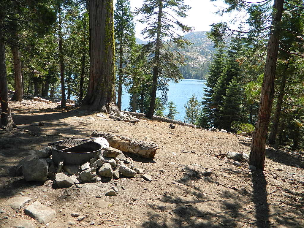
Sawmill Lake, Tahoe NF – N of Donner Pass I-80

4Wheeler’s Guide to Trails of the Tahoe National Forest, CA; Lake Tahoe to the North Yuba River; Northern Sierra Nevada mountains, N Gold Country California

4Wheeler’s Guide to the Rubicon Trail

driftwood

California off roading with 4×4 Tahoe Trail Maps. Topographical hard copy maps show contour lines, routes, trailheads, campgrounds, alpine lakes, mountain peaks, wilderness boundaries.  Maps for use by nomad campers, mountain bikers, dirt bikers, jeeps, SUVs, ATVs, and all off roading rigs. Overland camping options in the high elevation Sierra Nevada mountains.

see also –dirt bikes trail map

Lake Tahoe Basin Topo Atlas

Tahoe National Forest Map USDA

Lake Tahoe Basin – Recreation @ Lake Tahoe

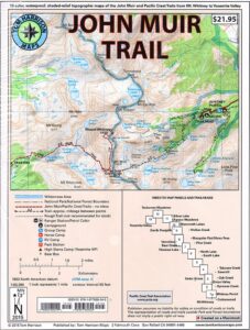
Tahoe Rim Trail Topo Map by Tom Harrison

USDA Lakes Basin, Sierra Buttes Map

bowman cliff shoreline

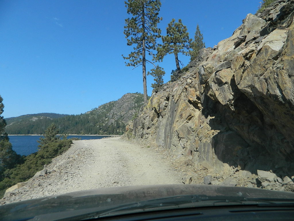
Bowman Lake, narrow cliff shoreline

Tahoe Forest Maps
by National Geographic

Tahoe East – Sierra Buttes & Donner Passfishing maps tahoe

Tahoe West – Yuba River & American River

sierra buttes maps

Back Roads @ N Yuba, Lakes Basin

Lakes Basin Recreation Area: Sierra Buttes
GOLD LAKE HWY. North Sierra Nevada – where granite spires touch the sky and river canyons run deep. Alpine lakes are covered in snow half the year w/ Gold Lake being the largest.

Totally worth a weekend visit! Spending a full week here is ideal. Summer destination for cabins, camping, hiking, fishing, waterfalls, and even off road routes; Winter offers snow recreation: cross country ski, snow shoe trails, and snow mobile access.


forest roads map tahoe

Tire Tools: roadside assistance
doesn’t do dirt roads

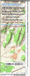
Bodie Hills Map

Bodie Ghost Town California

Bodie Hills MapBodie State Historic Park
Aurora Canyon

Eastern Sierra Nevada area near Bridgeport, California

HIGH DESERT –
8375′ elevation

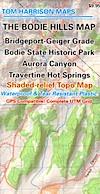
This Bodie map is authentic. Created and produced by none other than Tom Harrison, a legend in the field California cartography. No other map creator makes a detailed topographic map of Bodie Ghost Town, State Park and desert region.

Bodie Map

Bodie Hills Map


Tom Harrison Trail Map: Bodie Ghost Town CA, Bodie State Historic Park, State Park Bodie, BLM Bodie Hills, Back Roads Bridgeport California, Mining Desert High Country Map, 4×4 roads, Aurora Canyon, Aurora Nevada, Bodie Hiking Map, Backpacking Maps. Travertine Hot Springs, Geiger Grade, Bodie State Park, NV Desert Mountains, Bridgeport Hiking Maps. Durable, waterproof plastic map; Folded. Map Scale: 63K; ISBN#9780981834412

avenza mapsdownload digital version of this map –
Bodie Hills Topo Map

Bodie Hills Map

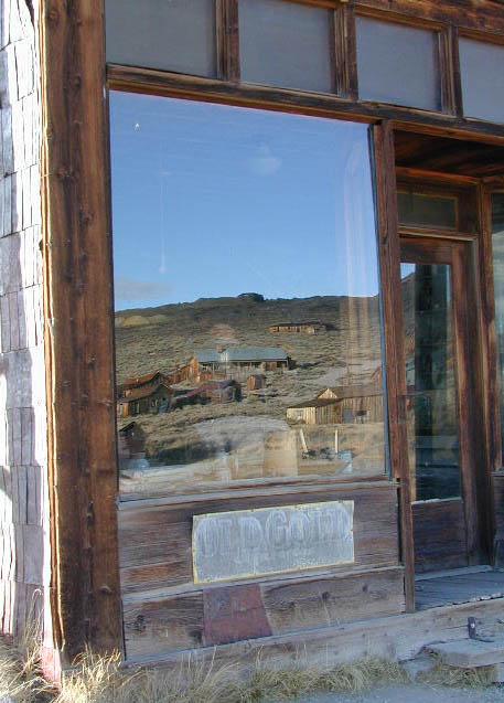
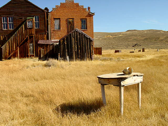
Bodie Ghost Town is the most popular & best preserved historic mining camp in California. Winter months are cold, windy, and often snowy. Late summers can get hot. Plan accordingly.

No services, no pavement, no big trees. Very remote location. Abundant free, boondocking camps in this high desert region, so make sure to get a camp fire permit from the local ranger station in Lee Vining or Bridgeport, CA

Bodie Hills Map

Photo by Morris Neer

nearby destinations:

Bodie Hills Map

Photo by Morris Neer

see also – 

Toiyabe National Forest Map
Hoover Wilderness Trail Map


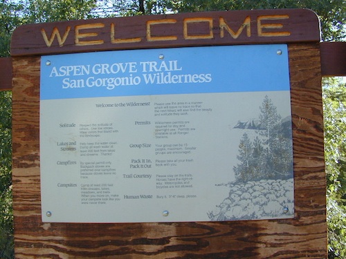
San Gorgonio Wilderness Trail Map

Mount San Gorgonio
(11,502′ elevation)

San Gorgonio Trail Map
Tom Harrison Maps

San Gorgonio Trail Map

San Gorgonio Trail Map. Tom Harrison Trail Map: Big Bear Hiking, San Gorgonio Wilderness CA; Mount San Gorgonio; Old Gray Back, Grayback, Greyback, Big Bear Area: Durable, waterproof plastic map; Folded. Map Scale: 48K; ISBN# 9781877689529

San Gorgonio Wilderness Map, Backpacking Big Bear, Hiking, Hike Gorgonio, Topo Gorgonio, Mount San Gorgonio; Old Gray Back, Grayback, Greyback, Big Bear Area

San Gorgonio Wilderness

San Gorgonio Trail Map

San Gorgonio Trail Map

San Gorgonio Trail Map


San Gorgonio Trail Map

see also –

Big Bear Trail Maps
San Bernardino National Forest Map
San Bernardino Forest Atlas

Mount San Gorgonio Maps

Big Bear Maps:
San Gorgonio Wilderness

San Gorgonio Trail Map
Mount San Gorgonio MapsTom Harrison Maps

Mount San Gorgonio Maps

Mount San Gorgonio Maps, San Gorgonio Trail Map. Tom Harrison Trail Map: Big Bear Hiking, San Gorgonio Wilderness CA; Mount San Gorgonio; Old Gray Back, Grayback, Greyback, Big Bear Area: Durable, waterproof plastic map; Folded. Map Scale: 48K; ISBN# 9781877689529

San Gorgonio Wilderness Map, Backpacking Big Bear, Hiking, Hike Gorgonio, Topo Gorgonio, Mount San Gorgonio; Old Gray Back, Grayback, Greyback, Big Bear Area

Mount San Gorgonio Maps

Mount San Gorgonio Maps


San Gorgonio Map USDA
Big Bear Wilderness Hikes

San Gorgonio Wilderness

USDA, waterproof topographic map of San Gorgonio Wilderness in the San Bernardino National Forest. Big Bear hikes, camping, backpacking. Heartbar Campground, Forest Falls, Gorgonio trailheads, Southern California hiking. Waterproof plastic. Updated 2010. ISBN# 9781593514945

Old Grayback

San Bernardino Maps

Mount San Gorgonio Maps

Mount San Gorgonio Maps

see also –

San Bernardino National Forest Map
San Bernardino Forest Atlas
San Bernardino Mountains 

Mount San Jacinto Maps

Angeles Maps
San Gabriel Mountains Map


PCT Trail Maps Mount San Gorgonio Maps