South Yuba River Recreation Map

USDA mapNorth Sierra, Gold Country Rivers

Yuba River Recreation Map

South Yuba River State Park

South Yuba River Recreation Map
found at USGS


fishing mapYuba fishing / Yuba River camping / Yuba fly fishing / Yuba campground

BLM South Yuba River Recreation Guide (Part of Tahoe National Forest). Gold Country River recreation, Nevada City, Grass Valley, Auburn, CA. Gold Country Camping BLM. Printed on paper.

North Yuba River flows south of Downieville, along Gold Country Highway 49

yuba river map

New Bullards Bar Reservoir

nearby towns:yuba map

State Park Map

Bridgeport Covered Bridge, in the Western Sierra – South Yuba SP

see also –4x4 maps
Lakes Basin Recreation Area Map
Sierra Buttes Map by NatGeo
Tahoe National Forest Map
4×4 Routes Tahoe Forest

Lake Tahoe Basin Map

Two different recreation maps for the Lake Tahoe Basin are created by the USDA & NatGeo. Several smaller brands for regional topographic trail maps. The US Forest Service has the Tahoe National Forest Map that encompasses a much larger area. Numerous books exist for backpacking and hiking around Tahoe.

Lake Tahoe Basin Map

NatGeo Map #803 Tahoe Basin

tahoebasin803

Lake Tahoe Trails Illustrated Map from National Geographic

Recreation Map for Lake Tahoe Basin, Topographic Lake Map, Backroads Hiking Maps, Tahoe Backpacking, Tahoe Camping, All Campgrounds, Trailheads, Creeks and Lakes. Sierra Nevada Back Roads, Truckee River Camping and Hiking Map. Very detailed and especially colorful, topo map. In this case, a 2 -sided map, waterproof plastic map; tear resistant. GPS data. Map scale 1:63,360 / Contour Interval = 50 feet. ISBN# 9781566953344

Lake Tahoe Basin Map

Lake Tahoe Basin MapMany believe that Lake Tahoe was formed by the collapse of an ancient volcanic crater, but the natural lake and mountain basin was actually formed by the rise and fall of the landscape due to faulting.

The Tahoe Basin which spans approximately 22 miles long (and 12 wide), is located on top of the Sierra Nevada mountain range. Separating California from Nevada state, a year-round, mountain resort destination. In particular, this is considered the north part of the majestic Eastern Sierra range. Furthermore, Lake Tahoe is often referred to as “Jewel of the Sierra”.camp map

Largest freshwater, alpine lake in North America.
Second deepest lake in the U.S.
Second highest lake in the U.S.

LAKE TAHOE – 6625′ elevation above sea level

Equally as relevant, our wide range of Tahoe maps listed below are current, full color publications – covering wildlife to wildflowers, forest back roads to 4WD routes, horseback trailheads to hiking trails, mountain peaks to meadows, creeks to waterfalls, trail camps to campgrounds, and of course cross country skiing to backcountry ski tours.

NatGeo Tahoe Map Pack

NatGeo Wilderness Maps

Adventure Maps Tahoe

Tahoe Heritage Foundation Map

Fine Edge Tahoe Maps

Tahoe Backcountry Ski Maps


Lake Tahoe Basin Map

Lake Tahoe Basin Management Unit, USDA Map


tahoebasin

Lake Tahoe Map USDA
Lake Tahoe Basin Management Unit

NFS Lake Tahoe Basin Map USDA

Lake Tahoe Basin & Vicinity

USGS Map California: Lake Tahoe Basin Map; Sierra Nevada Mountains, Lake Tahoe, Desolation Wilderness, Granite Chief, Fallen Leaf Lake. Tahoe Recreation, Camping Map. USDA NFS Recreation Area. Certainly all forest lands, trails and roads surrounding Lake Tahoe; 10 miles all the way around lake. Printed on waterproof plastic. Pictured published 2010. ISBN# 9781593514808.

LAKE TAHOE
OUTDOOR RECREATION

  • backpackinghikers map
  • boating
  • camping
  • casinos
  • cycling
  • fishing
  • hikinghorse trail maps
  • horseback
  • kayaking
  • mountain biking
  • mountaineering
  • off-roading
  • sailing4x4 maps
  • snow skiing
  • snowboarding
  • swimming
  • water skiing
  • xc skiing

see also –
Tahoe Rim Trail
Tahoe National Forest Map
Lake Tahoe Maps
Tahoe 4×4 Map Guide

Lake Tahoe Basin Map

Tahoe National Forest

nearby towns:

In the distance, Desolation Wilderness can be seen on the opposite side of the lake, typically covered in snow more than half the year.

snowridge

Desolation Wilderness on the Westside of Lake Tahoe

Mokelumne Wilderness Maps

Mokelumne Maps

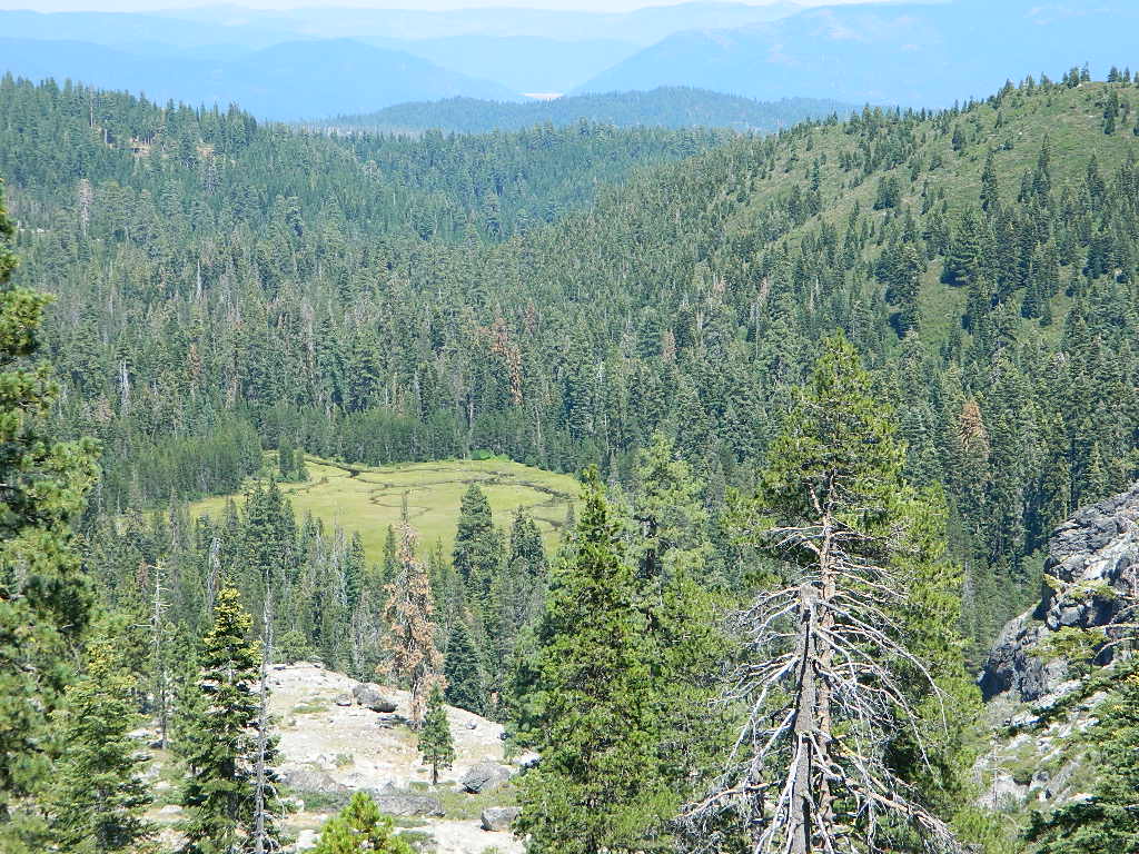
Mokelumne sits in between Carson Pass (Hwy 88) and the Ebbetts Pass (Hwy 4) – a vast Sierra mountainous area, south of Lake Tahoe. With high elevation passes that are usually closed more than half the year due to deep snow, this area becomes summer vacation haven for outdoor seekers. Mokelumne Wilderness Maps can show you the details for picnics, day hikes, trailheads, backpacking routes, horse packing trail camps, alpine lakes, reservoirs and the Mokelumne River.

Wilderness Topographic Map

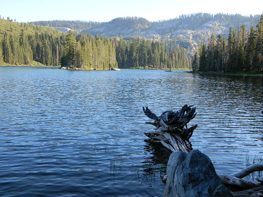
Mokelumne Wilderness is located in the Central Sierra Nevada mountains, above the Gold Country foothills, in between Hwy 88, 89 and 4; due south of Lake Tahoe. Fish, mountain bike, kayak, camp, backpack, horseback. It is all out here in gorgeous-ville. Lakes and peaks, rivers and creeks. All of this beauty and adventure waiting for you, but only accessible half the year (or less) – due to snow. Certain areas are designated Hiking Mapfor winter recreation, cross country skiing and snowmobiling.

Mokelumne is bordered by 3 National Forests, in the middle of the Sierra Nevada mountain range: Stanislaus NF, El Dorado NF & Toiyabe NF.

Mokelumne Map USDA
found on USGS

mokelumne map USDA

Mokelumne Map

PREVIOUS EDITION MAP

Hiking Topo Map
Mokelumne Wilderness Map
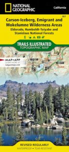
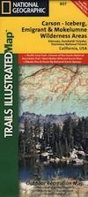
#807 NatGeo

National Geographic produces high quality topo maps with Trails Illustrated. High elevation, outdoor recreation highlights, trailhead parking, all roads, all trails, all campgrounds, peaks, lakes. GPS info. Full color, 2 sided map. Map 807

Topo Maps Mokelumne

Salt Springs Reservoir

Mokelumne Wilderness

Bordering the wilderness lands for day hikes and car camp on the outskirts. Plenty of dirt road in this region will lead to dispersed camp sites. Or do a backpacking week, or a horse pack adventure – deep into the untouched wild country of the Sierra Nevada mountains.

towns nearby:

Camgrounds Maps

Free Camgrounds in the Sierra

see also –

National Forest Maps

Mount Whitney Zone Map


Mt Whitney Zone Trail Map
whitney zone trail map
Tom Harrison Maps

2022: CURRENTLY UNAVAILABLE

Mount Whitney is the tallest mountain peak in the lower 48!

Mount Whitney Map, Whitney Portal. Topo Trail. Mt Whitney maps. Tom Harrison Trail Map: Mount Whitney Zone Trail Map, Lone Pine, CA; Areas include: Whitney Portal, Crabtree, Cottonwood Lakes, Rock Creek. Whitney Portal Trailheads, Outpost Camp, Trail Camp, Whitney Summit, Mountaineer’s Route, High Sierra Trail, Crescent Meadow, and the John Muir Trail Junction. Durable, waterproof plastic map; Folded. Map Scale: 31.7K; ISBN# 9781877689697

Mount Whitney Zone Map

avenza mapsdownload digital version of this map –
Mount Whitney Zone Map


  • backpacking
  • camping
  • climbing
  • fishing
  • hiking
  • horsepacking
  • mountaineering

A day hike to Mount Whitney and back to the Portal is not really possible (for most people), so an overnight backpacking trip is a given. High elevations makes for thinner air and more challenging conditions.

Permits are required to hike this popular peak – DAY HIKERS or OVERNIGHTERS. Authorities limit the amount of people that can be on these trails. A lottery tackles the choice of who gets to go this year. Annual deadline is April 30 @ recreation.gov

How many people wanna hike Whitney?

25,005 applications in 2021

Mount Whitney Zone Map

redwood maps

USEFUL LINKS:

california indpendent

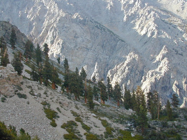
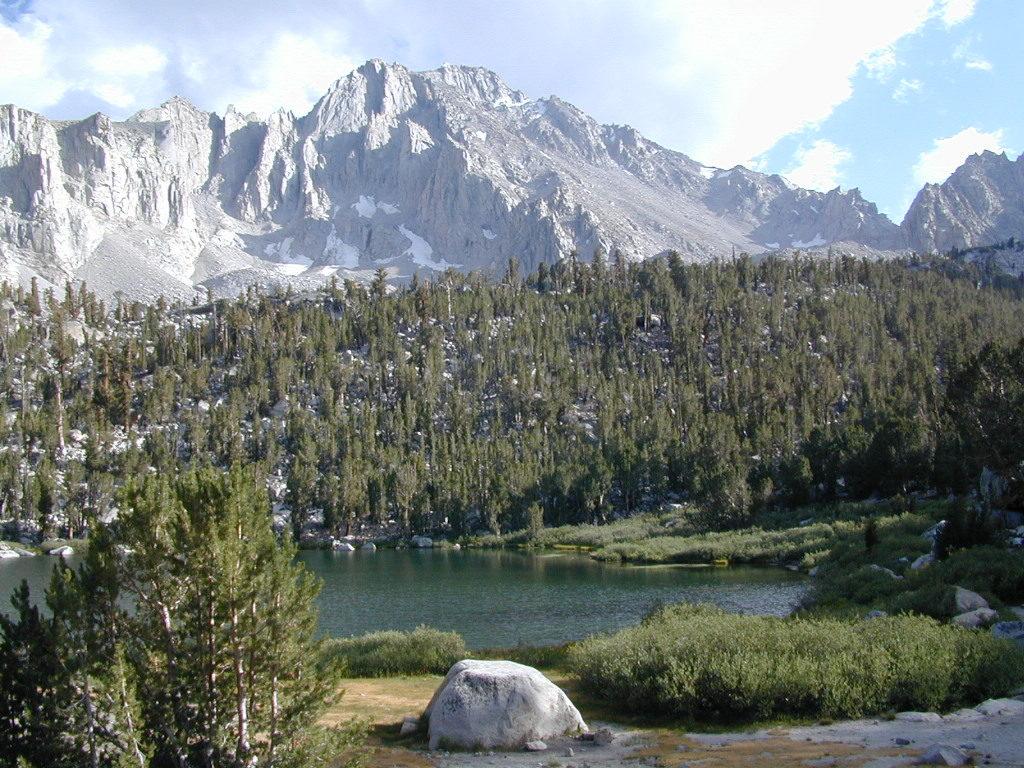
Mount Whitney is the tallest mountain in the contiguous United States and the Sierra Nevada, with an elevation of 14,505 feet. It is in East–Central California, on the boundary between California’s Inyo and Tulare counties, 84.6 miles west-northwest of North America’s lowest point, Badwater Basin in Death Valley National Park, at 282 feet below sea level. The mountain’s west slope is in Sequoia National Park and the summit is the southern terminus of the John Muir Trail, which runs 211.9 miles from Happy Isles in Yosemite Valley. The eastern slopes are in Inyo National Forest in Inyo County.

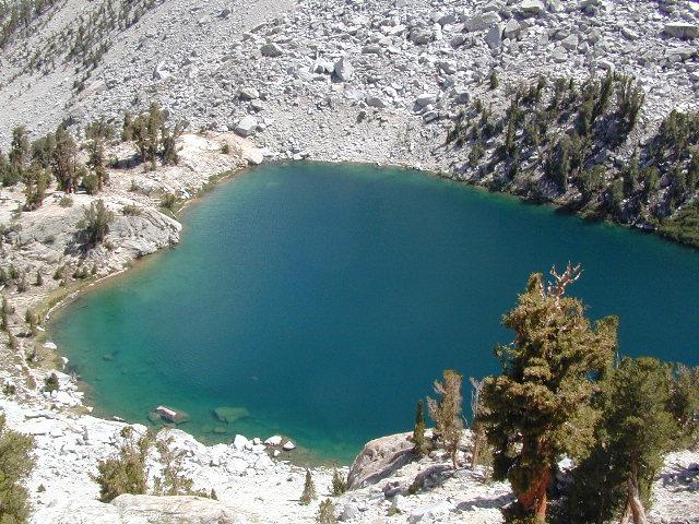
Mount Whitney’s summit is on the Sierra Crest and the Great Basin Divide. It lies near many of the Sierra Nevada’s highest peaks. The peak rises dramatically above the Owens Valley, sitting 10,778 feet or just over 2 miles above the town of Lone Pine 15 miles to the east, in the Owens Valley. It rises more gradually on the west side, lying only about 3,000 feet above the John Muir Trail at Guitar Lake. The mountain is partially dome-shaped, with its famously jagged ridges extending to the sides. Mount Whitney is above the tree line and has an alpine climate and ecology.

see also –

Mount Whitney Highcountry Map
Inyo National Forest Map USDA
Inyo Forest Atlas
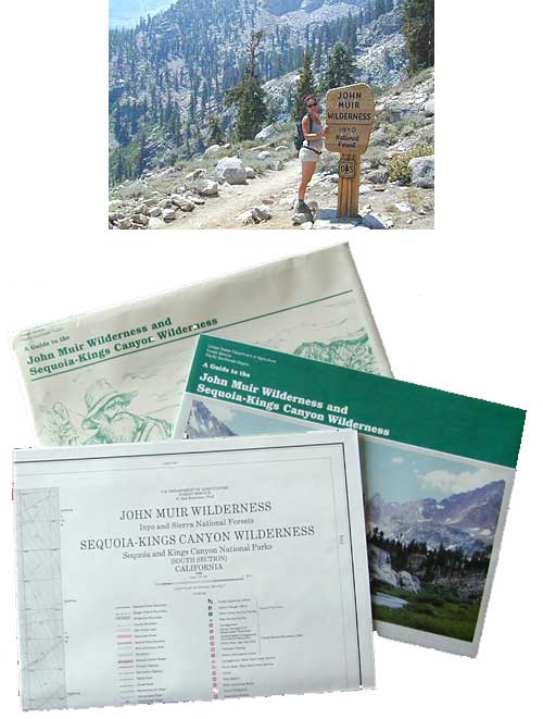
John Muir Wilderness Maps
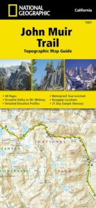
John Muir Trail Books