Bishop Pass Map

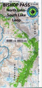
Bishop Pass Topo Map

Bishop Hiking Eastern Sierra

  • North Lake – 9500′ elev
  • Piute Pass – 11,423′
  • Lake Sabrina – 9132′
  • South Lake – 9755′

Bishop Pass Trail Map
Tom Harrison

Bishop, CA – located along US Hwy 395 is a hub for travelers and locals alike, in the high desert valley next to the Eastern Sierra range.

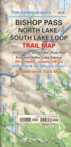
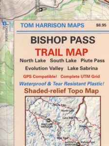
Tom Harrison Trail Map: Bishop Pass Maps, Backpacking Bishop CA; North Lake & South Lake Loop, Evolution Valley. PCT, John Muir Wilderness, LeConte Divide, Inyo National Forest, Inyo High Country, Sierra High Country; Sierra Nevada Passes; Hiking near Mount Whitney Backpacking Trip, california sierra camping; Durable, waterproof plastic map; Folded. Map Scale: 48K; ISBN# 9781877689680

avenza mapsdownload digital version of this map –
Bishop Pass Hiking Map

Bishop Pass Map

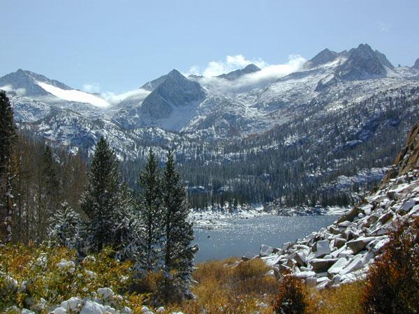
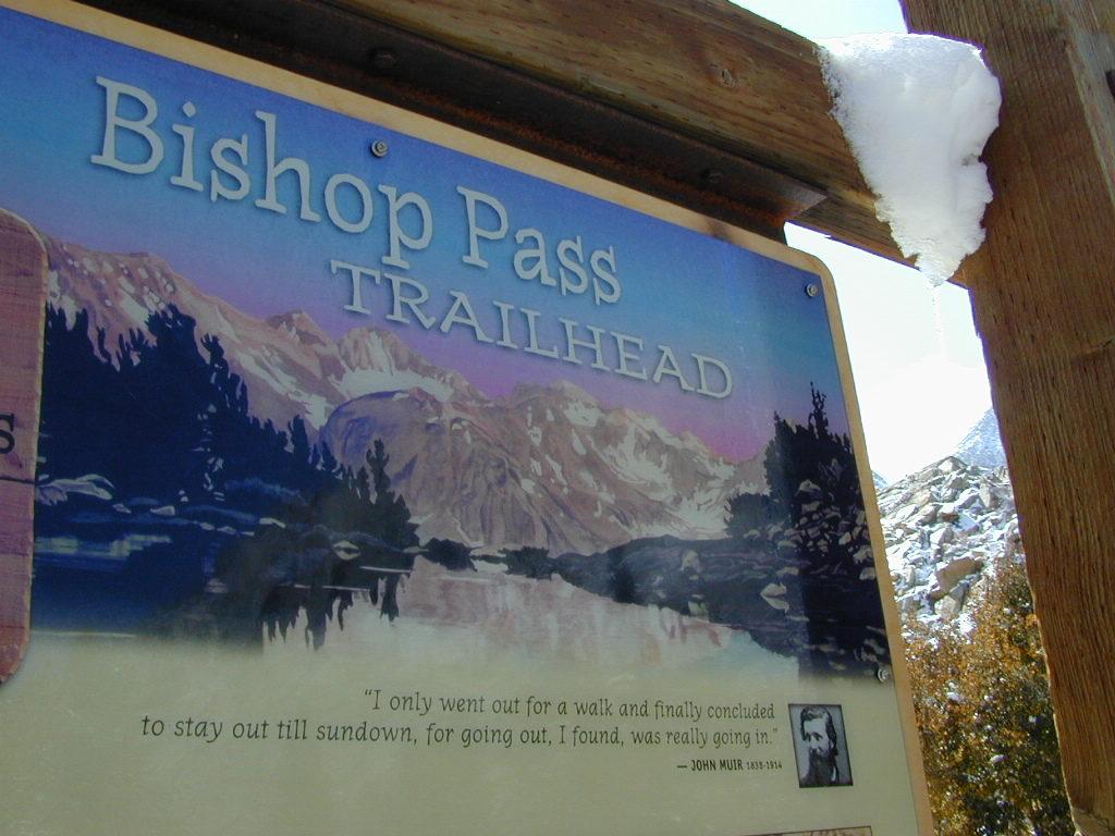
Bishop Pass @ 11,972′ elevation is a high mountain pass in the southern Sierra Nevada, California, on the border of the Inyo National Forest. John Muir Wilderness is located to the north and Kings Canyon National Park to the south. The Bishop Pass

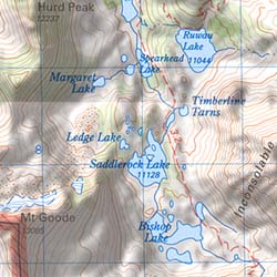
Connecting the Bishop Creek valley with the John Muir Trail & Pacific Crest Trail. Bishop Pass is located west of Mount Agassiz, surrounded by multiple alpine lakes in the Dusy Basin and the Bishop Lake basin.
Bishop Pass Map

High Sierra backcountry access to –

Bishop Pass Map

South Lake, above Bishop, California

see also –

Bishop Pass Map

previous edition

Bishop Pass Map

Piute Pass Hiking

Piute Pass & Piute Crags near North Lake
Bishop Pass Map

OLDER EDITION

Golden Trout Wilderness Map

Golden Trout
Wilderness Area Maps

Mtn Home

Golden Trout as seen from Mountain Home SF (2010)

Golden Trout / South Sierra Map
Golden Trout Wilderness USDA
Kern River Gorge
South fork of Kern River
Upper Kern River
Backcountry Sequoia
California

    • backpack trails
    • hiking trails
    • fishing lakes/streams
    • horse packing
    • hot springs
    • kern river
    • horse trails

Tom Harrison
Golden Trout Trail Map

Tom Harrison Map Kern

hiker

Golden Trout Wilderness
and South Sierra Wilderness

NFS

goldentrout
Golden Trout Wilderness Map
US Forest Service USGS

Official Trail Map for the U.S. National Forest Service. Map scale 1:63,360. Contour lines at 80 foot intervals show elevation. Detailed road network shown. Encompassing 475 square miles in the Sequoia and Inyo National Forests. Map Scale = 1″ to mile; Usually only found at Ranger Stations. MAY BE DISCONTINUED. Printed on paper in 1995.

Golden Trout Wilderness Trail Map, Sequoia National Forest, South Sierra Backpacking Maps, Forks of the Kern River Map, Jerky Meadow Trailhead, Big Whitney Meadow, Kern Peak, Coyote Peaks, Grey Meadow, Little Kern River, Kern Canyon, Jordan Hot Springs, Casa Vieja Meadow, Monache Meadows. Topo Sequoia Camping Kern River.

horseback

see also –
Golden Trout Wilderness Trail Map
Dome Land Wilderness Map
South Sierra Wilderness Map
Kern River Maps

goldencold

Creek dipping at Camp 4, Sequoia NF

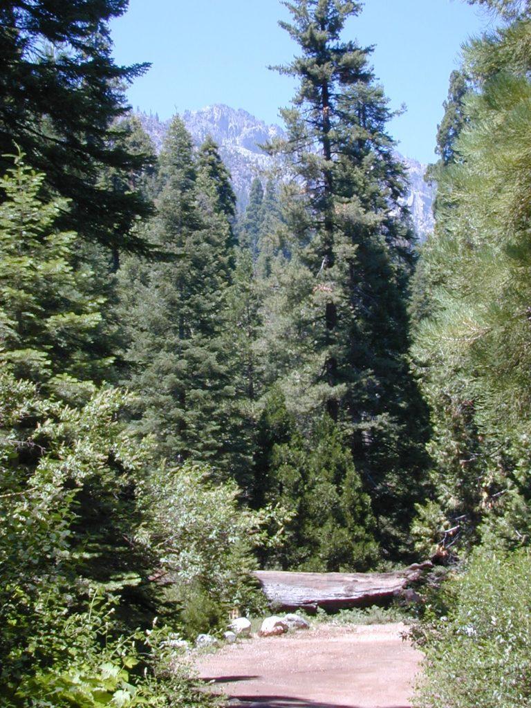
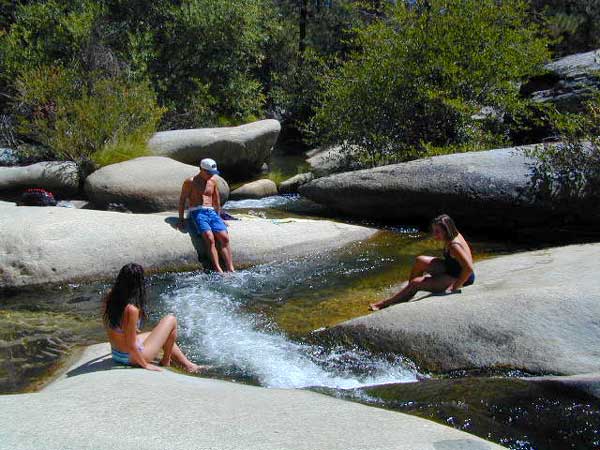
JERKY MEADOW trailhead Forks of the Kern, located at the end of Sequoia forest road #22S82 also has numerous primitive camp sites located near the Kern Gorge. A moderate day hike will lead to waterfalls, swimming holes and granite bowls like these. Steep trails lead further down to the river 1000′ below. Forks of the Kern, Upper Kern River, Kern Hot Springs, Golden Trout Kern, Golden Trout Wilderness Area, South Sierra, Kern River Fishing, Camping, Backpacking Jerky Trailhead. Kennedy Meadows, California.

recent wildfires in this area:

Windy Fire 2021
Castle Fire / SQF Complex 2020forestKern River Map

Inyo Forest Topo Atlas

High Sierra Topo Map
Eastern Sierra Nevada, California

Inyo National Forest Atlas

Inyo topo atlas

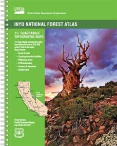
fishing mapThe INYO atlas, is a spiral bound book – a collection of all the quads. (7.5 minute topographical maps, of all of Inyo National Forest) Both sides of US Highway 395! From Olancha to Yosemite, Bodie ghost town to Darwin near Death Valley. This book map has detailed topo lines, mountain peaks, streams, lakes, hot springs, hiking trails & back roads. Perfect for all kinds of recreational needs. 117 pages. Printed in 2014. ISBN# 9781628114058

south_lake

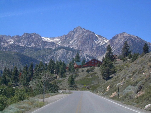
South Lake near Bishop CA

see also –

Inyo National Forest Map
Mount Whitney Maps
Death Valley Maps
Bishop Pass Map
Palisades Trail Map
Mammoth Highcountry Map
Mammoth Mono Trail Map
Ansel Adams Wilderness Map
John Muir Wilderness Map
Fishing Maps for California

regional towns:inyo topo map

Inyo National Forest NFS

cottonwoodcampsite
Cottonwood Lakes and Horseshoe Meadow, an alternate hiking approach to Mount Whitney

hikers map

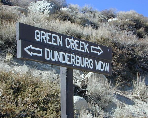
dunderberg

Inyo National Forest QUADS:
from south to northhorse trail maps

Inyo back roads Maps

Inyo back roads, 4×4 routes and hiking trailheads

Inyo National Forest Topo Maps, Topographical Inyo Map, Eastern Sierra, Olancha Peak, Lone Pine, Alabama Hills, Whitney, Mammoth, June Lake, Rock Creek, Lee Vining, Bishop, Sabrina, Palisades Glacier, Onion Valley, Independence, Coyote Flat Lake

Inyo Forest Topo Maps

Hoover Wilderness Map

Hoover Wilderness Trail Map
Tom Harrison Topo Map

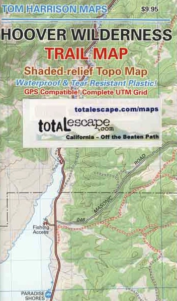
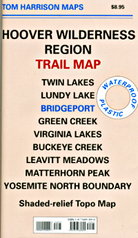
Hoover Wilderness Trail Map, Bridgeport California Backpacking High Sierra CA; Twin Lakes Hoover trailhead access, Lundy Lake, Green Creek Fishing Camping, Virginia Lakes Eastern Sierra, Buckeye Creek Campgrounds, Buckeye Hot Springs, Leavitt Meadows, Matterhorn Peak, Yosemite Park north boundary, Hoover Trail Maps; Fishing lakes, horseback trails, creeks, peaks and more high country bliss. Autumn colors are spectacular in this region.

Durable, waterproof plastic map; Folded. Map Scale: 63.36K; ISBN# 9781877689895

avenza mapsdownload digital version of this map
Hoover Wilderness Map

Hoover Wilderness Map

area attractions

hooverpeaks

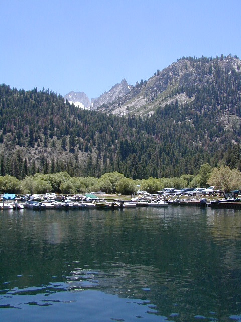
Mountain peaks in Hoover Wilderness tower above Twin Lakes, CA

Trails Illustrated Maps by National Geographic makes a Yosemite NORTH EAST map that covers Tuolumne Meadows, Tioga Pass and the Hoover Wilderness Area. Topographic, colorful, waterproof.hikers map

see also –

Toiyabe National Forest Map
Tuolumne Meadows Map
Yosemite Highcountry Map
Merced & Tuolumne Rivers Map

Sierra map

nearby towns:

Hoover Wilderness Map USDA

Hoover Wilderness Map

USDA Hoover Map

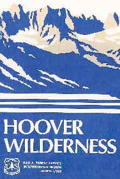
Hoover Wilderness (Part of Southern Toiyabe NF), Bridgeport California; Green Creek, Twin Lakes, Hiking trails, topographic.

Paper Map might be found only at USFS Ranger Stations – Toiyabe National Forest

1″ to mile; Perfect for a day hike reference,hiking to fishing lakes or an extended backpacking adventure. Way less crowded than the western side of the Sierra Nevada mountains.

hoover

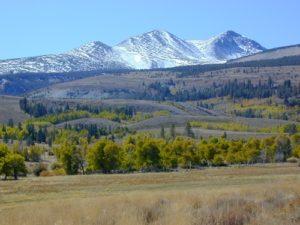
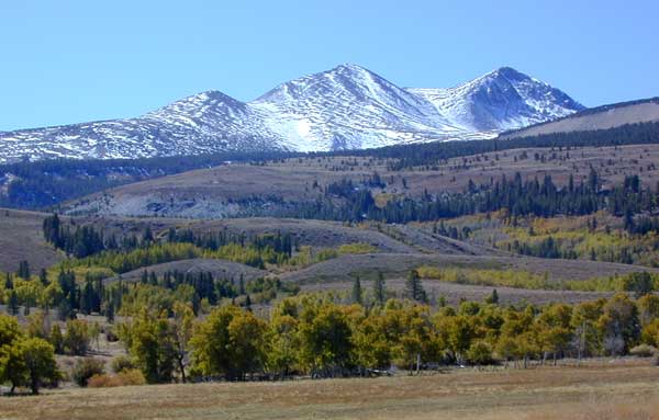
Dunderburg Meadow, east of Hoover Wilderness

Backpacking Hoover Wilderness, Topo, Hiking Trails, Southern Toiyabe NF, Bridgeport California; Green Creek, Twin Lakes Hiking, Backpacking Bridgeport, Sierra Nevada, Toiyabe Forest, Eastern Sierra Hikes

Hoover Wilderness Map

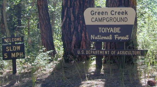
Green Creek has trailheads to Hoover Wilderness


Hoover Wilderness Map

Twin Lakes is located on the east side of Hoover, while Yosemite lies on the west.

Hoover Wilderness Map

OLDER VERSION

Hoover Wilderness Map

REAL OLD MAP