Golden Trout Wilderness Map

Golden Trout
Wilderness Area Maps
Mtn Home

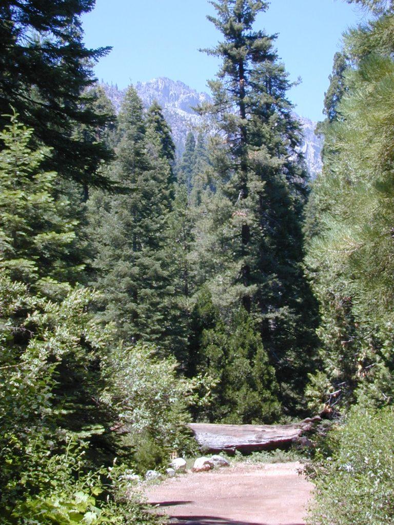
Golden Trout as seen from Mountain Home SF (2010)

Golden Trout / South Sierra Map
Golden Trout Wilderness USDA
Kern River Gorge
South fork of Kern River
Upper Kern River
Backcountry Sequoia
California

    • backpack trails
    • hiking trails
    • fishing lakes/streams
    • horse packing
    • hot springs
    • kern river
    • horse trails

Tom Harrison
Golden Trout Trail Map

Tom Harrison Map Kern

hiker

Golden Trout Wilderness
and South Sierra Wilderness

NFS

goldentrout
Golden Trout Wilderness Map
US Forest Service USGS

Official Trail Map for the U.S. National Forest Service. Map scale 1:63,360. Contour lines at 80 foot intervals show elevation. Detailed road network shown. Encompassing 475 square miles in the Sequoia and Inyo National Forests. Map Scale = 1″ to mile; Usually only found at Ranger Stations. MAY BE DISCONTINUED. Printed on paper in 1995.

Golden Trout Wilderness Trail Map, Sequoia National Forest, South Sierra Backpacking Maps, Forks of the Kern River Map, Jerky Meadow Trailhead, Big Whitney Meadow, Kern Peak, Coyote Peaks, Grey Meadow, Little Kern River, Kern Canyon, Jordan Hot Springs, Casa Vieja Meadow, Monache Meadows. Topo Sequoia Camping Kern River.

horseback

see also –
Golden Trout Wilderness Trail Map
Dome Land Wilderness Map
South Sierra Wilderness Map
Kern River Maps
goldencold

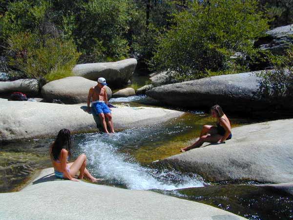
Creek dipping at Camp 4, Sequoia NF

JERKY MEADOW trailhead Forks of the Kern, located at the end of Sequoia forest road #22S82 also has numerous primitive camp sites located near the Kern Gorge. A moderate day hike will lead to waterfalls, swimming holes and granite bowls like these. Steep trails lead further down to the river 1000′ below. Forks of the Kern, Upper Kern River, Kern Hot Springs, Golden Trout Kern, Golden Trout Wilderness Area, South Sierra, Kern River Fishing, Camping, Backpacking Jerky Trailhead. Kennedy Meadows, California.

recent wildfires in this area:

Windy Fire 2021
Castle Fire / SQF Complex 2020forestKern River Map

Mount Tam Trail Map

Mount Tam Trail Map

Mt Tam Topo Map
Mount Tam Trail Map


Mount Tamalpais Trail Map
Marin Hiking Map
by Tom Harrison

Tom Harrison Trail Maps: Mount Tamalpais Trail Map, Mount Tamalpais State Park Map; Marin County Open Space, Marin Municipal Water District, San Francisco Hiking Maps, San Francisco Hikes, Backpacking Point Reyes. Camping Point Reyes Redwoods. Mount Tam Hiking, Golden Gate National Recreation Area.

Durable, waterproof plastic map; Folded. Map Scale: 24K; ISBN# 9781877689741

    • backpackMount Tam Trail Map
    • camp
    • hike
    • mountain bike
    • picnic


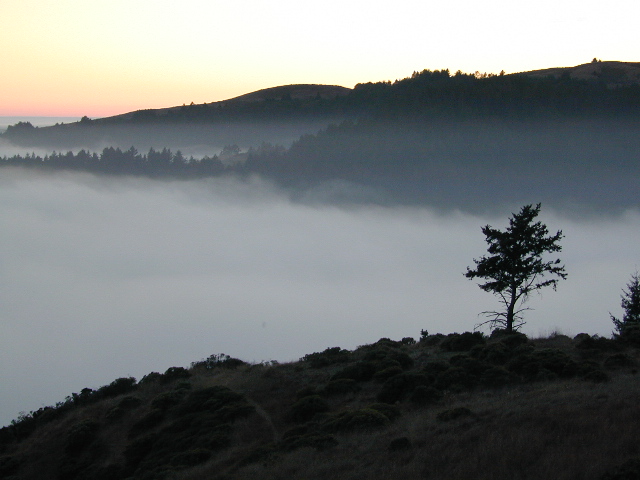
Mount Tam Trail MapMount Tamalpais is considered the birthplace of mountain biking. This State Park is one of the most popular hiking areas in Marin County, California. Mount Tamalpais is the most prominent physical feature north of the Golden Gate in the San Francisco Bay area. Its slopes are covered with a variety of forests, hiking and biking trails, accessible from trailhead and campgrounds around its perimeter.
california

other local maps for
Marin County & Mount Tamalpais:

Mt Tamalpais Map

Muir Woods Map Marin

nearby towns:

Mount Tam Trail Map

see also –
Point Reyes Map
All Mount Tamalpais Maps

Tom Harrison Yosemite Maps

Yosemite Trail Maps
by Tom Harrison

Tom Harrison Yosemite Maps

Compact, waterproof, topographic maps for Yosemite National Park and surrounding high country. High Sierra, backcountry. Backpack, horse pack, trailheads, camps, mountain climbing every day!

Central Sierra Nevada mountains.
Tioga Pass = 9943′ elevation

Tom Harrison Yosemite Maps

Yosemite NP overview map –
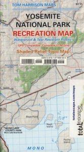
Yosemite National Park Map
by Tom Harrison Maps

Tom Harrison Recreation Map

Yosemite National Park Map, Topo Map Yosemite Parks Trails, Hiking Trails Yosemite overview Map; GPS compatible, UTM grid; Shaded relief topo map. Durable, waterproof plastic map; Compact and folded. Map Scale: 125K; ISBN# 9781877689505


Tom Harrison Yosemite Maps

Yosemite Valley Trails Map

Tom Harrison Yosemite Maps

Waterfalls & Half Dome Hiking Trail Map

Tom Harrison Yosemite Maps

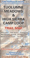
Tuolumne Meadows & High Sierra Camps
(OUTTA PRINT)

Tom Harrison Yosemite Maps

Yosemite High Country Trail Map
(OUTTA PRINT)

Tom Harrison Yosemite Maps

see also –

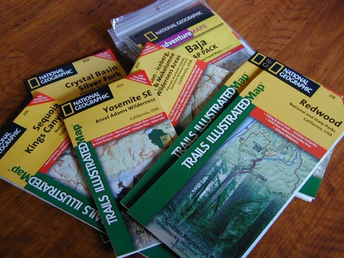
NatGeo Yosemite Maps
Ansel Adams Wilderness
Hoover Wilderness Trail Map
John Muir Wilderness Maps

Tom Harrison Yosemite Maps

Yosemite National Park Map

Yosemite Park Maps
Hiking Map Yosemite

merced bridge

Since Yosemite National Park is one of the most popular destinations inside California, several cartographers make overview maps and hiking maps for this busy park. Much of the area is covered in snow half the year and roads are closed annually. So know before you go and call the rangers. Double check campgrounds, trails, road conditions and weather, all prior to trip departure.

Tom Harrison is has an extensive list of trail maps which include the low elevations of Yosemite Valley, as well as the higher elevation backcountry. Waterproof trail maps, topographic w/ camps, canyons, climbs, creeks, lakes, peaks, all terrain.

Yosemite National Park Map

National Geographic also makes a series of colorful Yosemite maps, which span the whole park from west to east. Waterproof, tear-resistant, folded, two-sided maps. Wilderness Press makes a couple too!

Yosemite Topo Maps

Yosemite National Park Map
by Tom Harrison Maps

Tom Harrison Recreation Map

Yosemite National Park Map, Topo Map Yosemite Parks Trails, Hiking Trails Yosemite overview Map; GPS compatible, UTM grid; Shaded relief topo map. Durable, waterproof plastic map; Compact and folded. Map Scale: 125K; ISBN# 9781877689505

avenza mapsdownload digital version of this map –
Yosemite National Park Map

driftwood

Yosemite National Park Map

OLDER MAP

Yosemite National Park Map

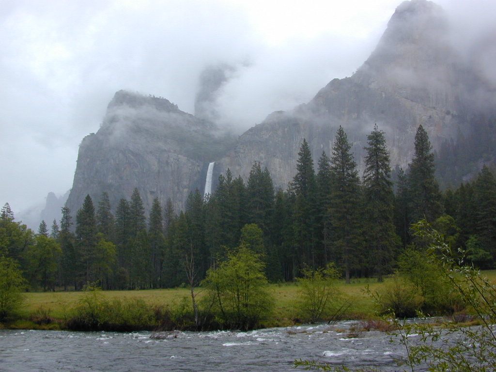
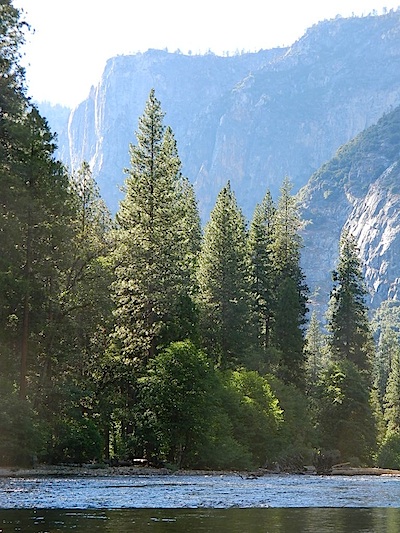
Merced River, Yosemite Valley, CA

Yosemite Maps

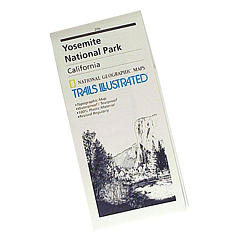
SUPER OLD Trails Illustrated MAP

see also –

All NatGeo Yosemite Maps
All Tom Harrison Yosemite Mapscamp map

Inyo National Forest USDA
Sierra National Forest USDA
Stanislaus National Forest USDA

Ansel Adams Trail Map
Half Dome Hiking Map
John Muir Wilderness Maps
Tuolumne Meadows
Yosemite High Country Maphikers map
Hetch Hetchy Map
Hoover Wilderness Trail Map


Yosemite National Park Map

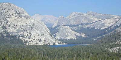
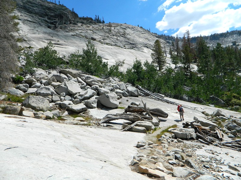
Yosemite Granite Slabs – High Sierra Camp (HSC) hiking Vogelsang to Lake Merced