California Regional Maps
Area Maps for California Parks, Forest, Wilderness Areas

California Regional Map
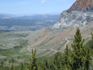
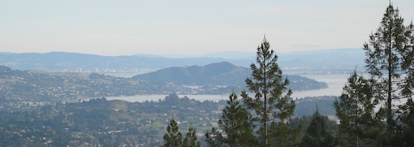
California has such a diverse terrain with deserts on the south and eastern borders, to the long Pacific Ocean coast on the west. From the tallest granite peaks of the Sierra Nevada, to the fertile soils of the wine country, and the Central Valley with it’s Reservoirs. Furthermore, wild rivers, large lakes and volcanic peaks of Northern California, there is something for everyone inside the Golden State.
Bay Area Trail Maps
Marin County Hikes & San Francisco Trails
California Coastal Maps
California Desert Maps
California Redwood Maps
California River Maps
Eastern Sierra Maps
Fishing Maps
Gold Country Maps
Lakes & Reservoir Maps
Los Angeles Maps
National Forest Maps USDA
National Forest Atlas USDA
National Park Maps
Northern Cal Maps
Redwood Maps
San Diego Maps
Sierra Nevada Maps
State Park Maps
Wilderness Trail Maps

Hike, bike, canoe and kayak. Fish, float, swim and stargaze. Waterfalls, picnics and wildflower meadows. Ride horseback, dirt bike or mountain bike. Camp, climb and scale a boulder. Backpack through a granite wilderness, paddle a pristine alpine lake, or off road over a rugged mountain pass. These are just a few of the outdoor activities one can experience inside California.
Outdoor Recreation Maps for region specific areas within California: Deserts, SoCal, Sierra Nevada, Central Coast, Bay Area, Wine Country, Gold Country Foothills, Northern Cal. River Maps, Fishing Maps, 4×4 Maps, coastal trail maps, local hiking maps, State Park Maps, National Forests, National Parks and digital map downloads!

Prior to Western Expansion and development, California forest fires regularly burned significantly more acreage than has been seen in recent history. Wildfires have been aggressively suppressed in recent years, resulting in a buildup of fuel, increasing the risk of large uncontrollable fires. There is broad scientific consensus that there should be more controlled burning of forest in California – in order to reduce fire risk.
get ready to smell smoke