Stanislaus Forest Atlas USDA
Central Sierra Nevada Mountains / Sonora Pass / Stanislaus River
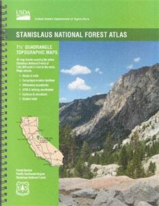
The Stanislaus Topo Atlas is a spiral bound book – a collection of all the quads. (7.5 minute topographical maps, of all of Stanislaus National Forest, California) This book map has detailed contour lines, rivers, streams, mountain peaks, streams, lakes, in addition to hiking trails & all the back roads. Sonora Pass Highway 88, with Ebbetts Pass Highway 4 just south of that. Most certainly the Stanislaus River and all area campgrounds. Perfect for all kinds of recreational needs. ISBN# 9781628114171
Calaveras, Northwest Yosemite, Spicer Reservoir, Dodge Ridge, Bear Valley Ski, Lake Alpine, Hetch Hetchy, Stanislaus Map.
USDA Topo Map
Stanislaus National Forest QUADS:
from south to north –
-
- El Portal
- Kinsley
- Buckhorn Peak
- Coulterville
- Ackerson Mountain
- Ascension Mountain
- Jawbone Ridge
- Groveland
- Lake Eleanor
- Cherry Lake South
- Duckwall Mountain
- Tuolumne
- Tiltill Mountain
- Kibbie Lake
- Cherry Lake North
- Hull Creek
- Twain Harte
- Columbia
- Columbia SE
- Tower Peak
- Emigrant Lake
- Cooper Peak
- Pinecrest
- Strawberry
- Crandall Peak
- Stanislaus
- Murphys
- Pickel Meadow
- Sonora Pass
- Dardanelle
- Donnell Lake
- Liberty Hill
- Boards Crossing
- Dorrington
- Fort Mountain
- Disaster Peak
- Dardanelle Cones
- Spicer Meadow Reservoir
- Tamarack
- Calaveras Dome
- Garnet Hill
- Devils Nose
- Ebbetts Pass
- Pacific Valley
- Mokelumne Peak
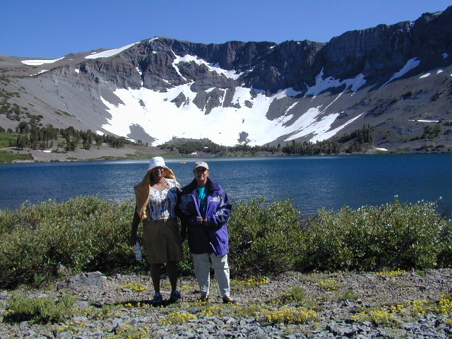
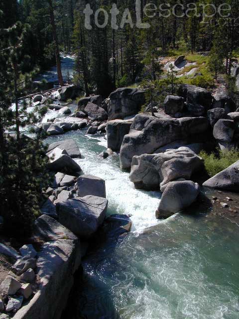
Leavitt Lake, elevation 9536′ – on the east side of Sonora Pass.
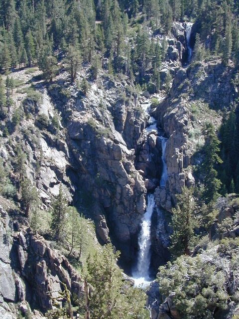
Leavitt Falls, CA SR 108 Sonora Pass
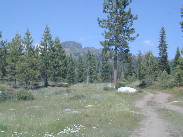
Sierra Meadow Boondocking near Wilderness
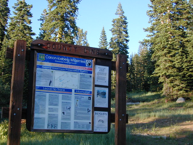
County Line Trailhead – Carson Iceberg Wilderness
see also –
- Carson Iceberg Wilderness Map
- Emigrant Wilderness Map
- Fishing Maps Sierra Nevada
- Merced and Tuolumne Rivers Map
- Stanislaus National Forest Map


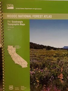
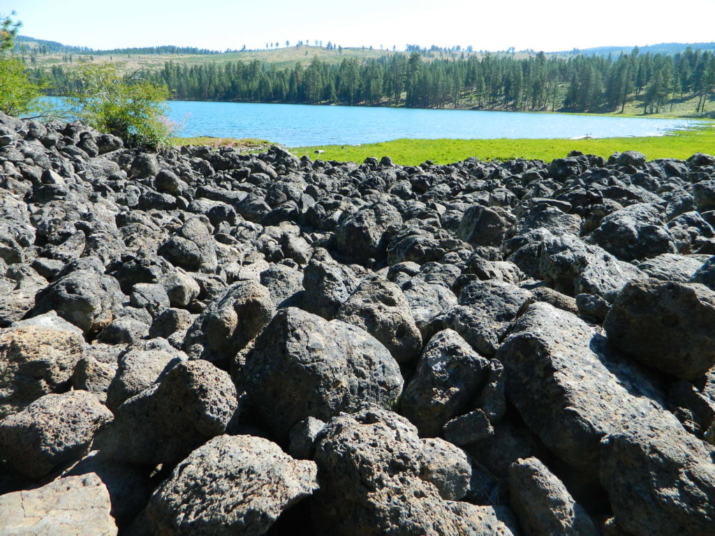
 USDA Modoc National Forest Topo Atlas Map. The MODOC atlas is a spiral bound book for Northeastern California – a collection of all the quads. (7.5 minute topographical maps, of all of Modoc National Forest) This book map has detailed contour lines, mountain peaks, streams, lakes, hiking trails & back roads. Backpacking, camping, canoeing, fishing, hiking, hunting, kayaking, mountain biking and with the darkest night skies, stargazing. Atlas is perfect for all kinds of recreational needs.