 USDA published this paper map ages ago. Might be found at the Kernville Ranger Station.
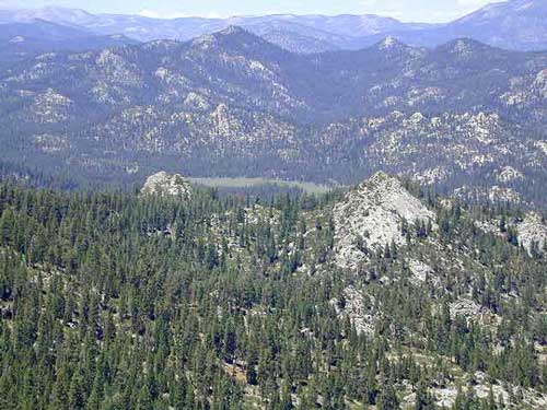
 Domeland Wilderness is located in the Southern Sierra, east of the Kern River, in an area known as the Kern Plateau. Granite domes, forest and meadows.
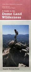
Dome Land Wilderness Map USDA
Dome Land Wilderness ( Part of Sequoia NF ) Perfect for a day hike reference or extended backpacking adventures. Scale = 1″ to mile; Printed on paper 1991
Domeland, Sequoia National Forest
Dome Land, Sequoia National Forest, Domelands Southern Sierra, Wilderness, Trail, Map
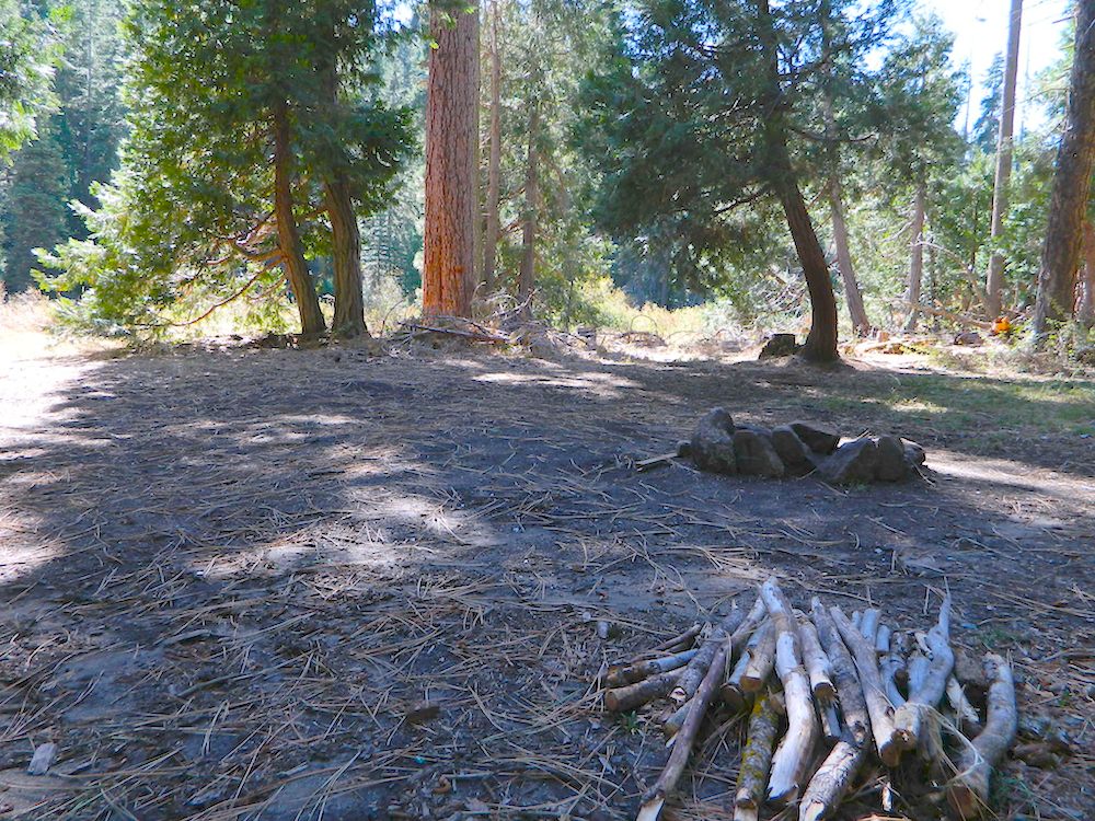
Face it, the Kern River Canyon can get pretty busy and camping can be crowded on weekends. Look forward to exploring new trails and camps east of the river. Up Sherman’s Pass – onto secluded forests, with OHV trails, mountain bike trails, horseback riding trails, meadows and much more. Seeking the east side of Kern, for access to South fork of the Kern River, which runs near the PCT and through Kennedy Meadows, CA
Domeland Wilderness is situated in between the Chimney Peak Backcountry Byway and the Big Meadow Road #22S12
NFS Campgrounds nearby:
- Horse Meadow Campground – is the only developed campground along Rd 22S12
- Long Valley Campground is located on east side, via long dirt road and difficult to reach
- Chimney Creek Campground is further south, near Canebrake, Walker Pass and Hwy 178
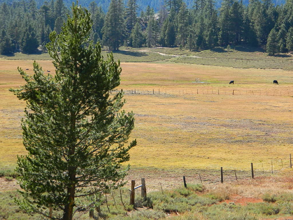
BIG MEADOW Sequoia NF
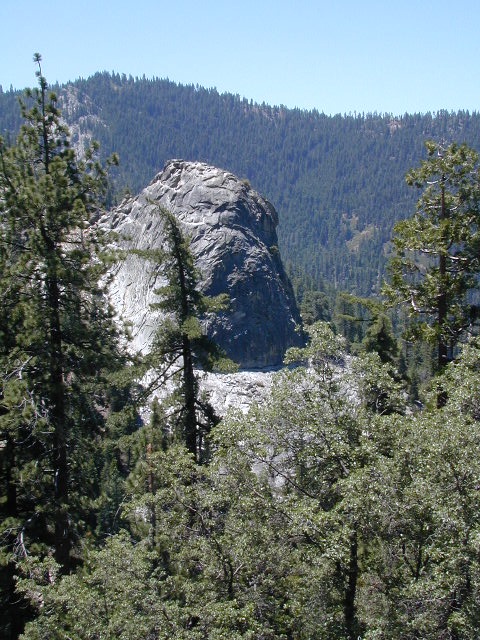
Granite, as viewed from Bald Mountain Fire Lookout, off Shermans Pass Road
Alternate Map for the Kern Plateau
see also –
Southern Sierra Map
Sequoia National Forest Map
Sequoia Forest Topo Atlas
Golden Trout Wilderness Trail Map
