Kern River Maps

Kern River Canyon Recreation Maps
Kern River Maps

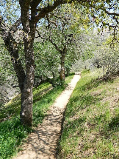
Lower Kern River Trail

  • backpacking
  • boulders
  • camping
  • cedar groves
  • fishing
  • fire lookout towers
  • hiking
  • horseback riding
  • hot springs
  • hunting
  • mountain meadows
  • mountain biking
  • off-roading
  • rock climbing
  • sequoia groves
  • wildflowers

Kern River Map

Maps of the Kern River Canyon & vicinity:

Southern Sierra Map
Sequoia National Forest USDA Map

Dome Land Wilderness Map USDA
Golden Trout South Sierra Map USDA
Golden Trout Wilderness Map Tom Harrison
Jawbone Canyon, Kelso Valley OHV Map
Pacific Crest Trail Topo Map #3

Kern River Maps

Lake Isabella, from Caliente Bodfish Road

Kern River
Kern Plateau
Shermans Pass Road #22S05
Sierra Back Road Maps

Kern River Maps

Kern River Maps

Kern River Hot Springs

avenzabar

digital maps for download

BLM Topo Map – Lake Isabella, California
Tom Harrison Topo Map – Golden Trout Wilderness
Giant Sequoia Forest Map Topo
Pacific Crest Trail – Section G (Map Bundle)

USGS Topo Map – Alta Sierra, Shirley Mdws (free)
USGS Topo Map – Cannel Peak, Creek, Meadows (free)
USGS Topo Map – Johnsondale, Sequoia NF (free)

Kern River (north) OHV Guide Map
Kern River (south) OHV Guide Map
CTUC Inyo & Sequoia (south) OHV Map
USFS Winter Recreation Map – Sequoia NF (free)
USFS Winter Recreation Map – Western Divide, Sequoia (free)
USFS Map Sequoia MVUM – Kern River North (free)
Sequoia MVUM – Western Divide Map (free)
Inyo MVUM – Monache Mdws, South Fork Kern River (free)
Inyo MVUM – Southern Sierra OHV Trails (free)

California Deer Hunting Zone D8 – Kern Map
California Deer Hunting Zone X10 – South Sierra Map
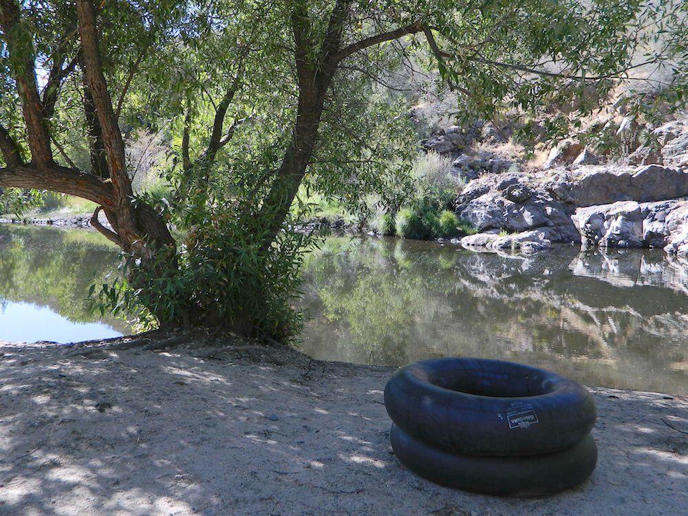
kern tube beaches

nearby towns:

Kern back road destinations:

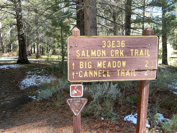
33E36trailhead

rinconcamp

Rincon Camp @ Sherman Pass Road
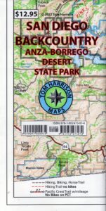
San Diego Backcountry Map

San Diego Backcountry Map

San Diego Desert Mao

TH SD topo map

OLDER EDITION

Topographic Maps by Tom Harrison: San Diego Deserts, Anza Borrego Desert. The #1 top selling map for the San Diego deserts!

San Diego Backcountry Recreation Map covers the entire Anza Borrego Desert State Park, the largest State Park in California & some portions of Cleveland National Forest; San Diego County Road S-2, S-22, Interstate 8, Highway 78 & Highway 94 to Tecate Mexico.

Areas surrounding Borrego Springs, Anza Borrego Park map, Julian & Warner Springs. PCT access (Pacific Crest Trail) plus Table Mountain, Sheep Canyon, OHV Deserts Ocotillo Wells SVRA, McCain Valley Camping, Carrizo Gorge Trestle Hike, Jacumba Hot Springs, Tierra del Sol 4×4 Trails, San Diego Lake Morena, Barrett Lake, Campo CA Potrero Regional Park, Agua Caliente Hot Springs, Vallecito, Carrizo Goat Trestle & Canyon sin Nombre Badlands.

digital mapsget a digital version of this map
San Diego Backcountry Map
by Tom Harrison

Recreation Map by Tom Harrison. Durable, waterproof plastic map; Folded. Map Scale: 125K; ISBN# 9781877689543

San Diego Desert Map

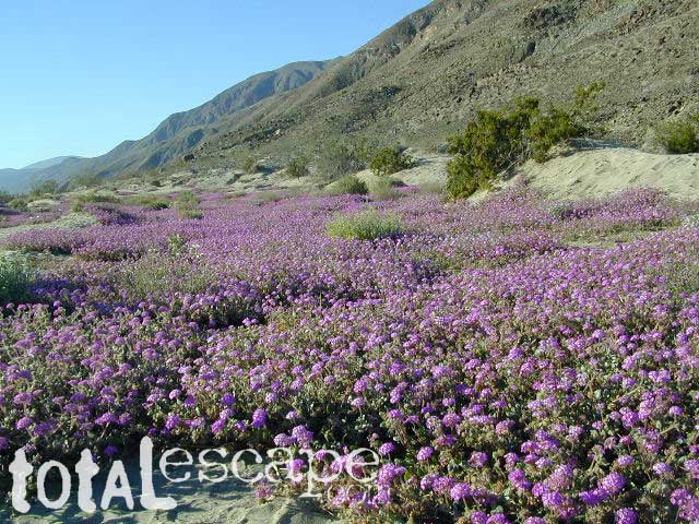
Borrego Desert is known best for Spring wildflowers (FEB-APRIL)

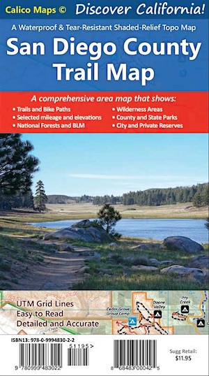
Two New San Diego Maps by Calico

San Diego County Trail Map

San Diego County Trail Map

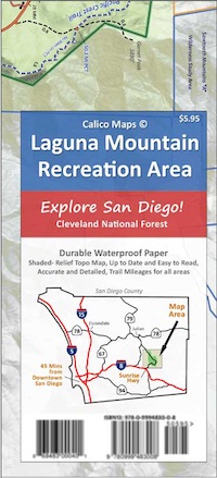
Mount Laguna Map

Mount Laguna Trail Map

see also –
Cleveland National Forest Map 
Cleveland Forest Topo Atlas
Wilderness Press Map of Anza Borrego Desert

camp map

more exploring Anza Borrego:

Anza 4×4 Trails
Agua Caliente Hot Springs
Canon Sin Nombre Slot Canyons
Carrizo Gorge Goat Trestle
Culp Valley Camping
Great Overland Stagecoach Route of 1849
Mason Valley Truck Trail
Old Kane Springs Road
Split Mountain
Vallecito

Split Mountain Borrego

Split Mountain, Anza Borrego State Park, Southern California

4x4 maps

download digital maps

apps/maps:
download digital topos & maps

hiking

San Diego Camping, Anza Borrego Desert:

hikers map

nearby towns:

Hiking Maps Anza

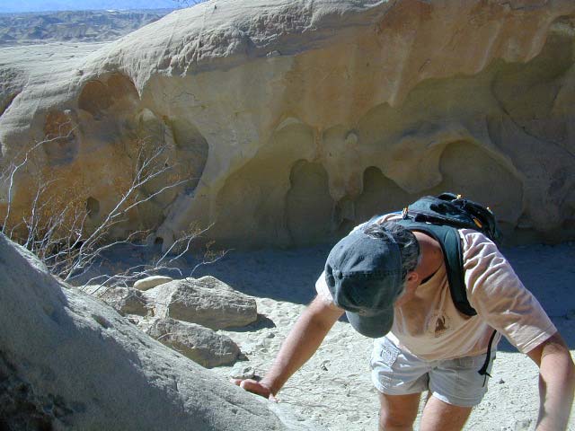
Exploring wind caves in Anza Borrego Desert

wildflower

campsunset

The whole canyon, all to yourself


Cleveland Forest Topo Atlas

Cleveland Forest Atlas

Cleveland National Forest Atlas Topo

camp mapSouthern California Forest Map / San Diego Mountains Topo

Cleveland National Forest

San Diego Mountains / Cleveland National Forest Map / Cleveland Forest Map

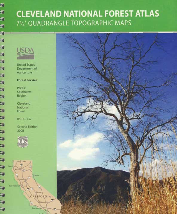
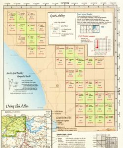
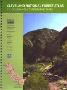
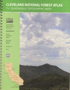
Cleveland Forest AtlasCleveland Forest Atlas is a spiral bound book – a collection of all the quads. (7.5 minute topographical maps, of all of Cleveland National Forest; aka. San Diego backcountry) This book map has detailed topo lines, mountain peaks, streams, lakes, hiking trails & back roads. Perfect for all kinds of recreational needs. USDA

Cleveland Forest Atlas

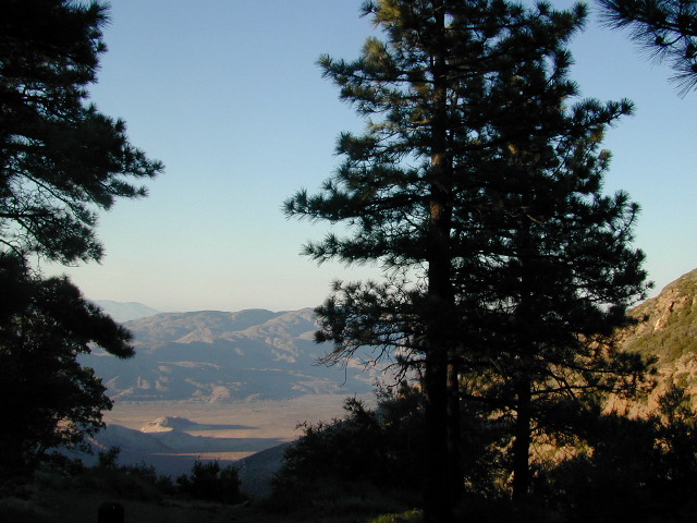
Views over Anza Borrego Desert


Cleveland Forest Atlas

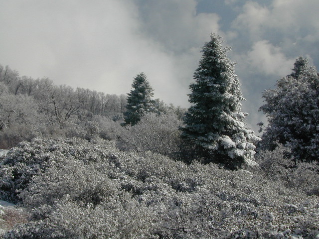
Snow at Palomar Mountain

Cleveland Forest Atlas

Cleveland National Forest QUADS:
from south to north –
Cleveland Forest Atlas

see also –

Cleveland National Forest Map
San Diego Backcountry Map
Anza Borrego Desert Map
Rancho Cuyamaca Map
Pine Creek Wilderness Map

Cleveland Forest Atlas

first edition

Cleveland Forest Atlas

a previous atlas

nearby towns –

Cleveland Forest Atlas

Morris Ranch Road, San Diego County Mountains

4×4 Guide Tahoe NF

4×4 Tahoe Trail Maps
Off Roading Routes

4x4 maps4×4 Tahoe Trail Maps: Explore the 4WD (four wheel drive) dirt and gravel roads inside the Lake Tahoe region. Please follow the links listed at the bottom of this page for more Tahoe Maps.

Camping Lake Map

Sawmill Lake, Tahoe NF – N of Donner Pass I-80


4Wheeler’s Guide to Trails of the Tahoe National Forest, CA; Lake Tahoe to the North Yuba River

4Wheeler’s Guide to the Rubicon Trail

2024: BOTH THESE MAPS ABOVE NOW OUTTA PRINT

driftwood

California off roading with 4×4 Tahoe Trail Maps. Topographical hard copy maps show contour lines, routes, trailheads, campgrounds, alpine lakes, mountain peaks, wilderness boundaries.  Maps for use by nomad campers, mountain bikers, dirt bikers, jeeps, SUVs, ATVs, and all off roading rigs. Overland camping options in the high elevation Sierra Nevada mountains.

see also –dirt bikes trail map

Lake Tahoe Basin Topo Atlas

Tahoe National Forest Map USDA

Lake Tahoe Basin – Recreation @ Lake Tahoe

Tahoe Rim Trail Topo Map by Tom Harrison

USDA Lakes Basin, Sierra Buttes Map

bowman cliff shoreline

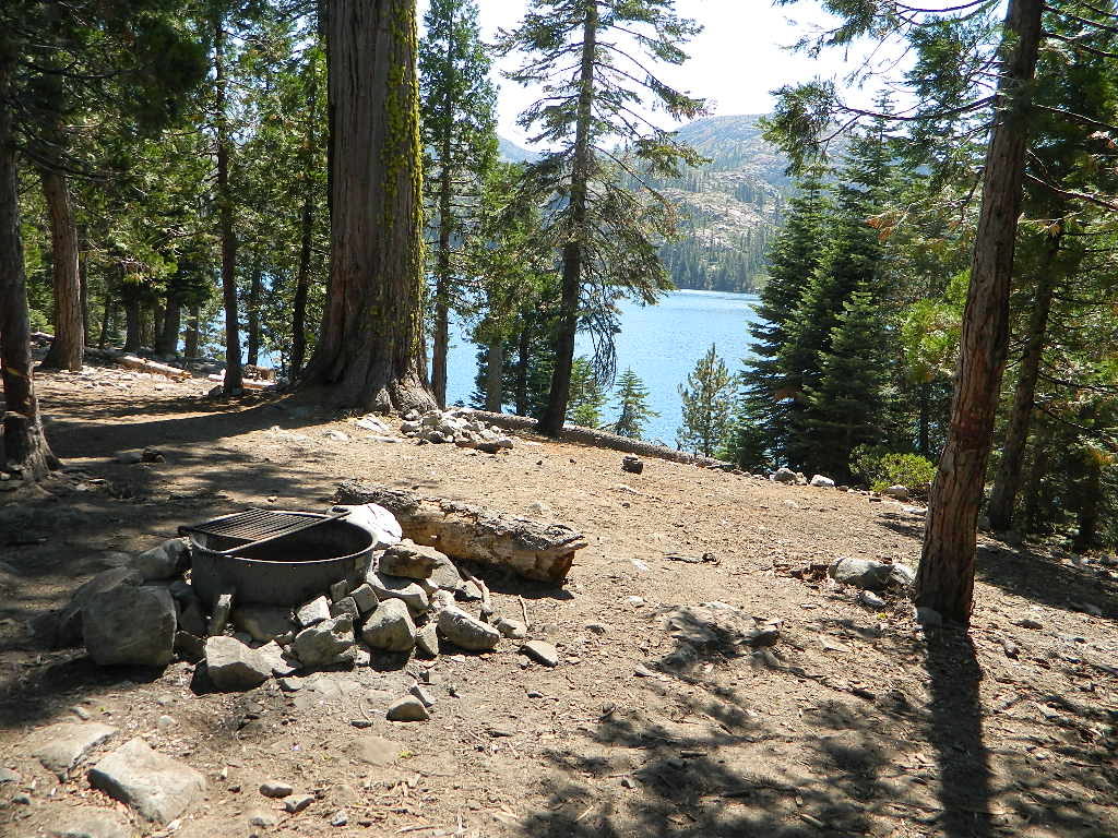
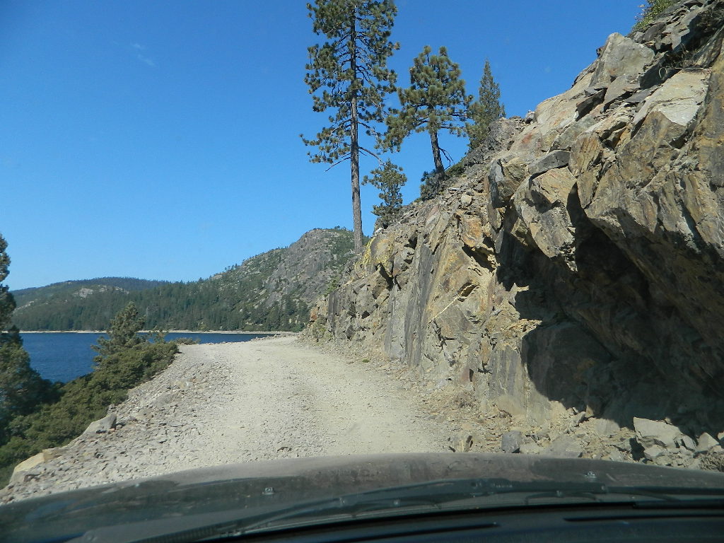
Bowman Lake, narrow cliff shoreline

Tahoe Forest Maps
by National Geographic

Tahoe East – Sierra Buttes & Donner Passfishing maps tahoe

Tahoe West – Yuba River & American River

sierra buttes maps

Back Roads @ N Yuba, Lakes Basin

Lakes Basin Recreation Area: Sierra Buttes
GOLD LAKE HWY. North Sierra Nevada – where granite spires touch the sky and river canyons run deep. Alpine lakes are covered in snow half the year w/ Gold Lake being the largest.

Totally worth a weekend visit! Spending a full week here is ideal. Summer destination for cabins, camping, hiking, fishing, waterfalls, and even off road routes; Winter offers snow recreation: cross country ski, snow shoe trails, and snow mobile access.

forest roads map tahoe

Tire Tools: roadside assistance
doesn’t do dirt roads

4x4 Patch Kit ARB