4×4 Guide Tahoe NF

4×4 Tahoe Trail Maps
Off Roading Routes

4x4 maps4×4 Tahoe Trail Maps: Explore the 4WD (four wheel drive) dirt and gravel roads inside the Lake Tahoe region. Please follow the links listed at the bottom of this page for more Tahoe Maps.

Camping Lake Map

Sawmill Lake, Tahoe NF – N of Donner Pass I-80


4Wheeler’s Guide to Trails of the Tahoe National Forest, CA; Lake Tahoe to the North Yuba River

4Wheeler’s Guide to the Rubicon Trail

2024: BOTH THESE MAPS ABOVE NOW OUTTA PRINT

driftwood

California off roading with 4×4 Tahoe Trail Maps. Topographical hard copy maps show contour lines, routes, trailheads, campgrounds, alpine lakes, mountain peaks, wilderness boundaries.  Maps for use by nomad campers, mountain bikers, dirt bikers, jeeps, SUVs, ATVs, and all off roading rigs. Overland camping options in the high elevation Sierra Nevada mountains.

see also –dirt bikes trail map

Lake Tahoe Basin Topo Atlas

Tahoe National Forest Map USDA

Lake Tahoe Basin – Recreation @ Lake Tahoe

Tahoe Rim Trail Topo Map by Tom Harrison

USDA Lakes Basin, Sierra Buttes Map

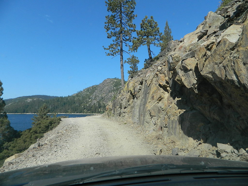
bowman cliff shoreline

Bowman Lake, narrow cliff shoreline

Tahoe Forest Maps
by National Geographic

Tahoe East – Sierra Buttes & Donner Passfishing maps tahoe

Tahoe West – Yuba River & American River

sierra buttes maps

Back Roads @ N Yuba, Lakes Basin

Lakes Basin Recreation Area: Sierra Buttes
GOLD LAKE HWY. North Sierra Nevada – where granite spires touch the sky and river canyons run deep. Alpine lakes are covered in snow half the year w/ Gold Lake being the largest.

Totally worth a weekend visit! Spending a full week here is ideal. Summer destination for cabins, camping, hiking, fishing, waterfalls, and even off road routes; Winter offers snow recreation: cross country ski, snow shoe trails, and snow mobile access.
forest roads map tahoe

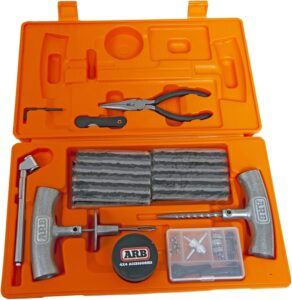
Tire Tools: roadside assistance
doesn’t do dirt roads

4x4 Patch Kit ARB

BLM Maps

Bureau of Land Management
BLM Maps

BLM Maps

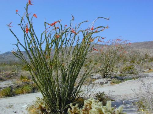
Desert BLM lands, California

Download PDF maps
from BLM website:
blmhttps://www.blm.gov/maps

BLM’s Story Maps (web app gallery) via Web App Viewer
https://blm-egis.maps.arcgis.com/

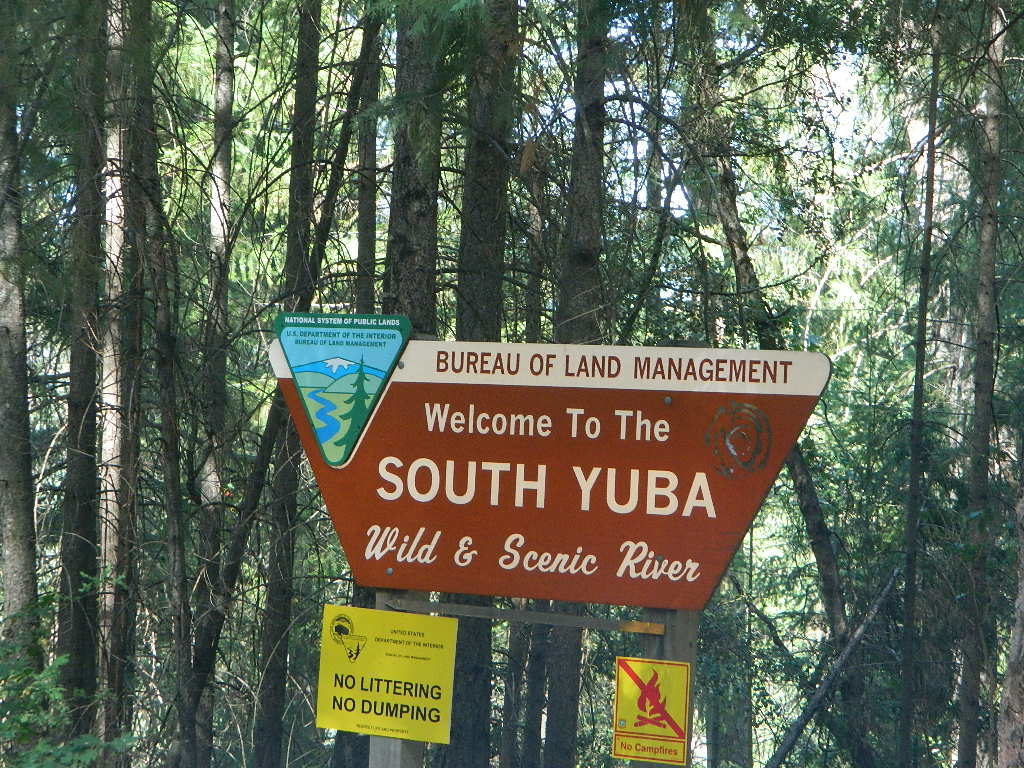
BLM South Yuba River

Paper BLM Maps can be ordered online from Jawbone.org
jawbone.org/ohvmap/index.php/maps-guides/agency-maps

Alturas
Amboy4x4 maps
Beatty
Big Bear Lake
Bishop
Blythe
Borrego
Cuddeback Lake
Darwin Hillstrail map
Davis Dam
Death Valley Junction
Eagle Mountain
El Cajon
El CentroOHV deserts
Isabella Lake
Ivanpah
Lancaster
Last Chance Canyon
Mesquite Lake
Mount Whitney
Needles
Newberry Springs
Owlshead Mountains
Palm Springs
Parker Mapcamp maps
Ridgecrest
Saline Valley
Salton Sea
San Andreas
San Bernardino
Santa Ana
Sheephole Mountainscamp map
Soda Mountains
Tehachapi
Three Rivers
Trigo Mountain
Victorville
Yosemite Valley
Yuma

BLM Camping Utah

BLM for off-road routes and free camping

BLM stands for the Bureau of Land Management and it is an agency within the United States Department of the Interior responsible for administering federal lands. Headquartered in Grand Junction, Colorado and with oversight over 247.3 million acres, it governs one eighth of the country’s landmass.

The agency manages 221 wilderness areas, 27 national monuments and some 636 other protected areas as part of the National Conservation Lands, totaling about 36 million acres. In addition the Conservation Lands include nearly 2,400 miles of Wild and Scenic Rivers, and nearly 6,000 miles of National Scenic and Historic Trails. There are more than 63,000 oil and gas wells on BLM public lands.

BLM OHV Areas

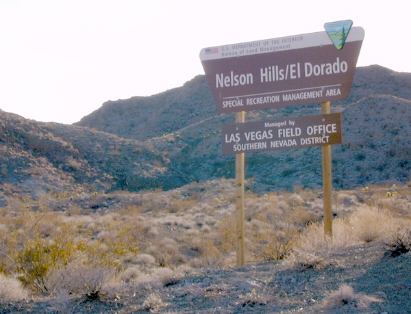
Nelson @ El Dorado Canyon – Lake Mohave

see also – hikers map

California Desert Maps
National Forest Atlas
State Atlas Maps
Utah Maps

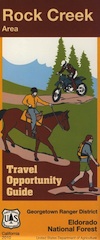
Rock Creek OHV Map

OUTTA PRINT
[NO LONGER AVAILABLE]

Gold Country Trails
El Dorado National Forest
Rock Creek OHV Map

Older Rock Creek off-road map had a new name and was split into 2 maps. Gold Country Foothills OHV. This forested area is just west of the 4×4 Rubicon Trail and very popular among the off roaders and equestrian riders.

Eldorado Travel Opportunity Guide (North)
Georgetown @ Rubicon

Eldorado Travel Opportunity Guide (South)
Amador & Placerville

rock creek OHV

OLD VERSION

Rock Creek OHV inside El Dorado National Forest, Georgetown Ranger District. Multi-use recreation area near the central Sierra Nevada Gold Country. Darlington Ridge Mountains, Quintette, Bear Creek Road, Bald Mountain Canyon, Mace Mill, Dutch Canyon, One-Eye Creek Trail, Wentworth Springs, Balderson Corral, Dru Barner Campground. This RockCreek is on the western side of the Sierra Nevada range, not to be confused with the Eastern Sierra Rock Creek, N of Bishop, CA

USDA, waterproof, topographic map with hiking, equestrian and off road trails. Dirt bikes, quads, 4×4 rigs. OHV routes, creeks, rivers, trailheads, back roads and one campground. Georgetown hikes. hiking. Waterproof plastic. Scale 1:29,816 / GPS shown in degree minute format.

nearby towns –

You may need to really search to find a 4WD map for this area.

Below is a good overview map, a topo map, a link to local books, for the Gold Country region of California

Gold Country Books

Gold Country 2000