Most maps on our map shop have the dirt roads indicated, as well as hiking trails, trailhead parking, campgrounds, major paved roads, highways and topographic features. Some more detailed than others. Horseback camps, snowmobile access, hiking trailhead parking and all the off road routes.
digital maps for download, listed at bottom
National Forest Maps by USDA have all roads, including dirt roads. ![]() NFS also makes a spiral bound atlas with all the topo quads – for the serious adventurers focusing on a specific region.
NFS also makes a spiral bound atlas with all the topo quads – for the serious adventurers focusing on a specific region.
The Bureau of Land Management, (BLM) manages more than 245 million ![]() acres of public land in 12 Western states. California BLM offices usually have printed maps available (during office hours), as well as digital topo downloads for the DESERT regions of California.
acres of public land in 12 Western states. California BLM offices usually have printed maps available (during office hours), as well as digital topo downloads for the DESERT regions of California.
Slot canyons to sand dunes, wind caves to petroglyphs, boondocking to bouldering, Total Escape can show you the best places to explore – without the crowds.
dirt bike trails
to back roads
HARD COPIES: The waterproof maps listed below are specific and popular with off-roader types. Find new dirt roads, ridge trails, private canyons, old cabins, historic mines, secluded campsites, or maybe, just stay away from the masses.
- Anza Borrego Desert Map
- Baja California Maps
- Big Bear Lake Trail Map
- Big Sur Coast Topo Maps
- Bodie Ghost Town Map
- Death Valley Topo Maps
- Gold Country Maps
- Jawbone Canyon OHV Map
- Joshua Tree Maps
- Kern River Topo Maps
- Lake Tahoe 4×4 Guide Map
- Lost Coast Map NorCal
- Mojave Desert Maps
- Mojave National Park Map
- Oregon Dunes Map (OR)
- San Diego Backcountry Maps
- Shaver Lake Map
- Utah Back Roads Maps (UT)

Split Mountain, Anza Borrego State Park
California Trail Users Coalition OHV Maps


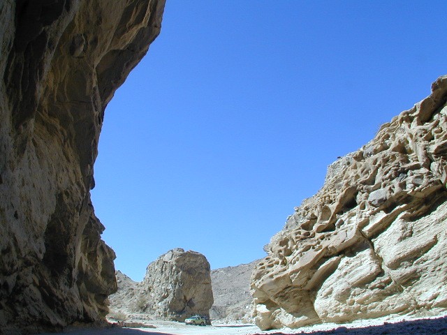
Exploring Anza Borrego Desert State Park
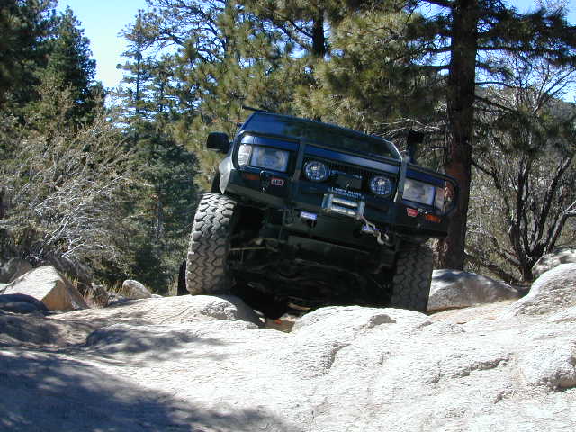
Rock crawlin California

digital topo map downloads
listed from north to south
Northern California Motorcycle Maps
Stanislaus OHV Map – Groveland North (free)
Stanislaus OHV Map – Groveland South (free)
Sierra National Forest Map by Tom Harrison
Sierra National Forest Map USDA
Sierra Motor Vehicle Use Map – Tamarack (free)
Sierra Motor Vehicle Use Map – Dinkey West (free)
Sierra Motor Vehicle Use Map – Kaiser Pass (free)
Sierra MVUM – Bass Lake & Whiskey Ridge (free)
Shaver Lake, BLM Map
Western Sierra Adventure Map
Eastern Sierra Winter Recreation Map (free)
Inyo Motor Vehicle Use Map – June Lake (free)
Inyo Motor Vehicle Use Map – Mammoth (free)
BLM Map – Alabama Hills Lone Pine (free)
California Desert Parks Map Pack
Death Valley NPS Map: Backcountry Roads
Death Valley Park Map by Tom Harrison
California City OHV Rider Map
Lake Hughes Topo Map USFS
Topographic Map Mojave Tehachapi
North Rosamond Mojave Topo Map
Fairmont Butte Antelope Poppy Map
Lake Elsinore Topo Map USFS
Wildomar Topo Map
Southern California Motorcycle Map
BLM Map – Imperial Sand Dunes, Glamis (free)
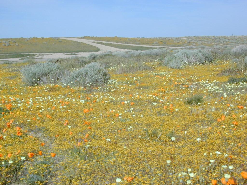
Antelope Valley Wildflowers
Baja California Mexico, Mountain Camping
