Kern River Maps

Kern River Canyon Recreation Maps
Kern River Maps

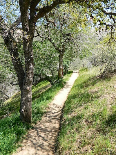
Lower Kern River Trail

  • backpacking
  • boulders
  • camping
  • cedar groves
  • fishing
  • fire lookout towers
  • hiking
  • horseback riding
  • hot springs
  • hunting
  • mountain meadows
  • mountain biking
  • off-roading
  • rock climbing
  • sequoia groves
  • wildflowers

Kern River Map

Maps of the Kern River Canyon & vicinity:

Southern Sierra Map
Sequoia National Forest USDA Map

Dome Land Wilderness Map USDA
Golden Trout South Sierra Map USDA
Golden Trout Wilderness Map Tom Harrison
Jawbone Canyon, Kelso Valley OHV Map
Pacific Crest Trail Topo Map #3

Kern River Maps

Lake Isabella, from Caliente Bodfish Road

Kern River
Kern Plateau
Shermans Pass Road #22S05
Sierra Back Road Maps

Kern River Maps

Kern River Maps

Kern River Hot Springs

avenzabar

digital maps for download

BLM Topo Map – Lake Isabella, California
Tom Harrison Topo Map – Golden Trout Wilderness
Giant Sequoia Forest Map Topo
Pacific Crest Trail – Section G (Map Bundle)

USGS Topo Map – Alta Sierra, Shirley Mdws (free)
USGS Topo Map – Cannel Peak, Creek, Meadows (free)
USGS Topo Map – Johnsondale, Sequoia NF (free)

Kern River (north) OHV Guide Map
Kern River (south) OHV Guide Map
CTUC Inyo & Sequoia (south) OHV Map
USFS Winter Recreation Map – Sequoia NF (free)
USFS Winter Recreation Map – Western Divide, Sequoia (free)
USFS Map Sequoia MVUM – Kern River North (free)
Sequoia MVUM – Western Divide Map (free)
Inyo MVUM – Monache Mdws, South Fork Kern River (free)
Inyo MVUM – Southern Sierra OHV Trails (free)

California Deer Hunting Zone D8 – Kern Map
California Deer Hunting Zone X10 – South Sierra Map
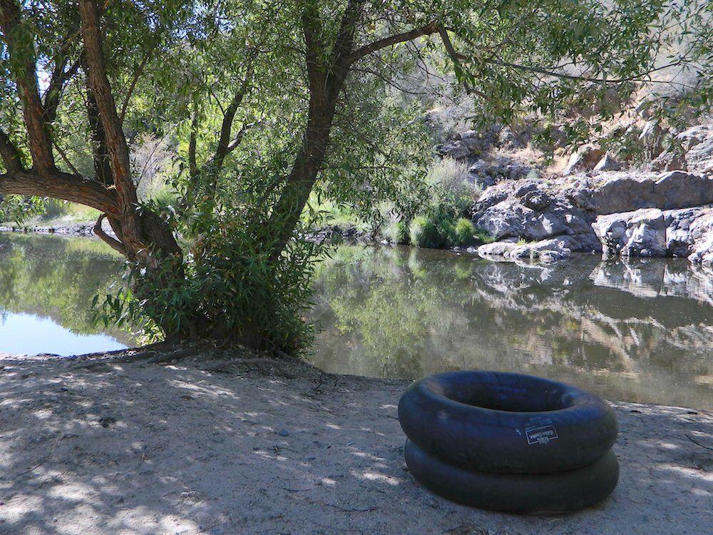
kern tube beaches

nearby towns:

Kern back road destinations:

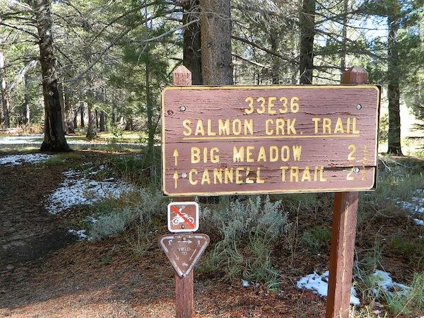
33E36trailhead

rinconcamp

Rincon Camp @ Sherman Pass Road

Bucks Lake Wilderness Map

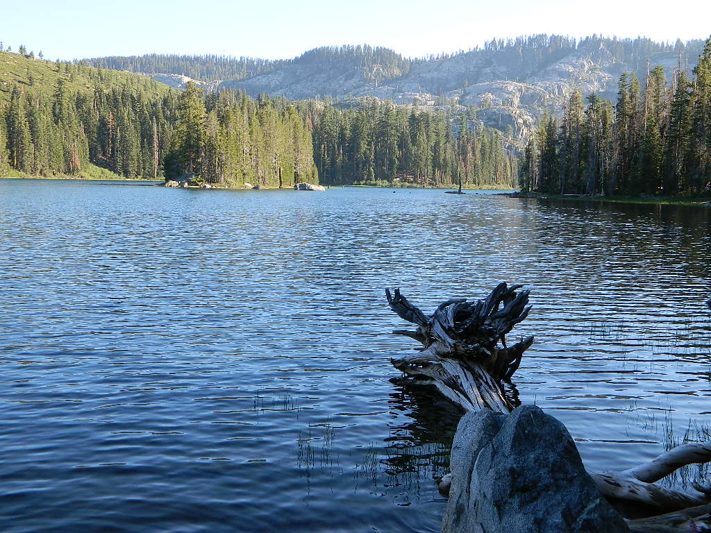
Gold Lake @ Bucks

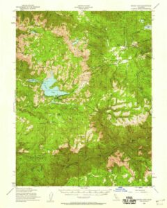
Bucks Lake Topo Map

Topo Map

Bucks Lake Wilderness Map

Bucks Lake Map
Bucks Lake Wilderness Map USDA
Map Scale = 2″ to 1 mile; Printed on paper in 1990.
Available @ USGS.gov
and at Plumas Ranger Station, Quincy, CA

Bucks Lake Wilderness @ Bucks Lake
Northern Sierra Nevada mountains

NFS

TrailheadsEast of Oroville, CA
West of Quincy, CA

Plumas National Forest

Bucks Lake Wilderness Map

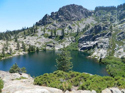
South of Mount Lassen, deep in the forests west of Quincy & Meadow Valley, lies a few small alpine lakes in and around the bigger Bucks Lake, a resort cabin community with dining, overnight lodging, cabin rentals, RV and tent campgrounds. Indian Rock is a popular DAY USE beach along the west shoreline.

Wilderness hiking trails climb to peaks and lakes at higher elevations.

Topo maps are perfect for a day hike reference or extended backpacking adventures. Pacific Crest Trail access. Bucks Lake has numerous developed campgrounds, smaller lakes and many miles of trails to explore.


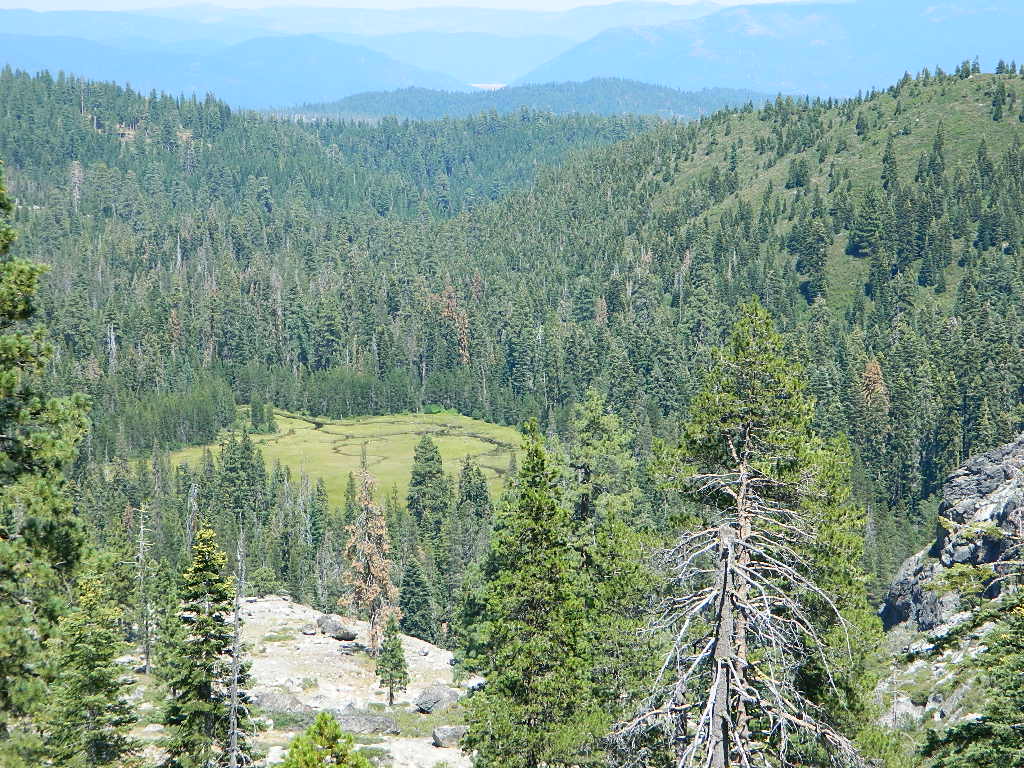
Jacks Meadow

Jacks Meadow

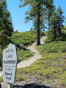
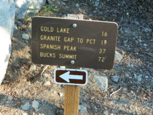
gold lake sign

silver lake bucks lake

Silver Lake has a small campground accessed via dirt road.

Ansel Adams Wilderness Map

Ansel Adams Map USDA
USDA Ansel Adams

Ansel Adams Wilderness, part of Inyo NF and Sierra NF

This High Sierra terrain spans some of the most majestic areas of the Sierra Nevada – the youngest mountain range in the U.S. This wilderness is bordered by National Parks, National Forests, and other Wilderness Areas – all the way around it. Kaiser Wilderness and Lake Edison inside Sierra NF on the west, Yosemite National Park on the north, Inyo NF on the east side, and John Muir Wilderness on the south end. Wow!

This 230,300 acre, high elevation wilderness was formerly the Minarets Wilderness, renamed in 1984 to honor the pioneering landscape photographer, Ansel Adams. Known for spectacular alpine scenery, elevations range from 7,000 to 14,000 feet. Rugged granite peaks and passes, with alpine lakes, includes high country east of the Sierra crest. Pacific Crest Trail and John Muir Trail cross this High Sierra Wilderness region.

This USDA map is also available at Ranger Stations.

Perfect for packing and hiking references, fishing lakes, creeks, high altitude camp sites, horse packing routes, or extended backpacking adventures. Map Scale = 1″ to mile; Printed on waterproof plastic paper. Updated in 2011. ISBN# 9781593515188

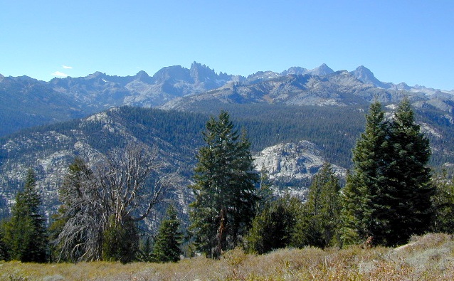
minarets

see also –

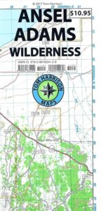
Ansel Adams Trail Map

Ansel Adams Wilderness Trail Map
by Tom Harrison Topo Maps

Eastern Sierra Trail Map

OLDER EDITION

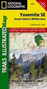
NatGeo Ansel Adams
Map #309
Yosemite SE

NatGeo Map

Ansel Adams Trailhead locations include –

Eastern Sierra: Lee Vining, June Lake, Mammoth Lakes, CA

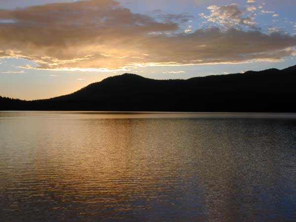
Western Sierra: Edison Lake (pictured below), Huntington Lake, Shaver Lake, Clover Meadow, Mammoth Pool Reservoir, NorthFork via Bass Lake and Yosemite National Park.

Edison Lake

Channel Islands Map

Channel Islands Map

Channel Islands Map
NatGeo #252

California Islands Map
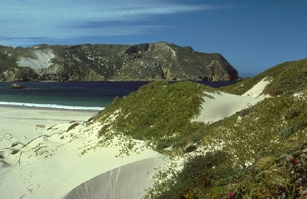
Several islands exist off the coast of California. Catalina Island is by far the most popular, but not included on this map. Some refer to these as the Santa Barbara Islands, since they are out near the Santa Barbara Channel.

Many islands are inaccessible, but the Channel Islands are indeed a National Park – reachable only by boat or by air – from the Ventura coastline. Advanced reservations will be needed to book a boat trip or a flight to the islands.

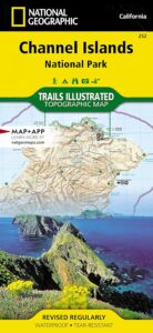
hikers mapTrails Illustrated Map from National Geographic. Channel Islands National Park Map #252. Santa Barbara coast channel islands, California. Diving, Snorkeling, Swimming Beaches, Kayaking, Boating, Camping & Hiking Map.
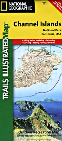
Very detailed & colorful. Waterproof Plastic Map; Tear Resistant. GPS data. Published in 2019. ISBN# 9781566954105

  • backpack
  • camp
  • dive
  • fish
  • hike
  • kayak
  • swim
  • snorkleĀ 
Channel Islands Map

PREVIOUS VERSION

Located off the California shore, the Channel Islands are home to many unique species of flora and fauna. National Geographic’s Trails Illustrated Map covers (with unparalleled detail) the 5 islands that encompass the park, including The Nature Conservancy area of Santa Cruz Island and the State Marine Reserve Areas that surround the islands. Provides background information of the park and of each individual island along with its regulations and guidelines. In addition, information regarding transportation to the islands is given, as well as land (hiking), water (swimming, snorkeling and diving) and boating / kayaking safety warnings.

Each of the islands is shown with a trail guide, listing trail start and destination points, distances and difficulty. Trails are mapped with mileage markers and coded according to trail type. Island roads, which can also be used use for hiking, are shown as well. An inset map of the Scorpion Area provides extra detail of this popular area. The map includes contour lines, elevations, labeled peaks, selected waypoints, water features and areas of wooded cover. Moreover, many recreation features and facilities are pinpointed, such as ranger stations, campgrounds, restroom, picnic areas and historic buildings.

Other features on this map include: Anacapa Passage, Channel Islands National Park, Encino Reservoir, Franklin Canyon Reservoir, Laguna Point, Point Dume, San Fernando Valley, San Miguel Island, San Miguel Passage, Santa Barbara Island, Santa Cruz Channel, Santa Cruz Island, Santa Monica Mountains, Santa Rosa Island, Sepulveda Dam, Stone Canyon Reservoir.

see also –
Big Sur Maps
Los Padres West by NatGeo