Lakes Basin California
Gold Lake California
Sierra City, Sierra Buttes, Lakes Basin Recreation Area, North Yuba River, Salmon Lake, Packer Lakes, Sardine Lake, Snag Lake, Gold Lake, Goose Lake, Haven Lake, Long Lake, Mud Lake, Smith Lake, Bear Lakes, Round Lake, Jamison Lake, Wades Lake, Rock Lake, Grass Lake, Grassy Lake, Squaw Lake, Cub Lake and the PCT
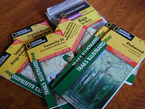
2022 currently unavailable on Amazon; might still be found at local ranger stations
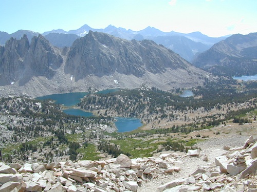
Lakes Basin Recreation Area
Lakes Basin Loop / Gold Lake / Sierra Buttes / Plumas Eureka SP
Lakes Basin-Sierra Buttes & Plumas Eureka State Park Map (Part of Tahoe NF & Plumas NF ) Usually only found at Ranger Stations – Hard to find maps. Printed on paper in 2013. ISBN# 9781628114003
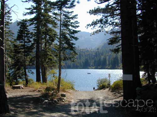
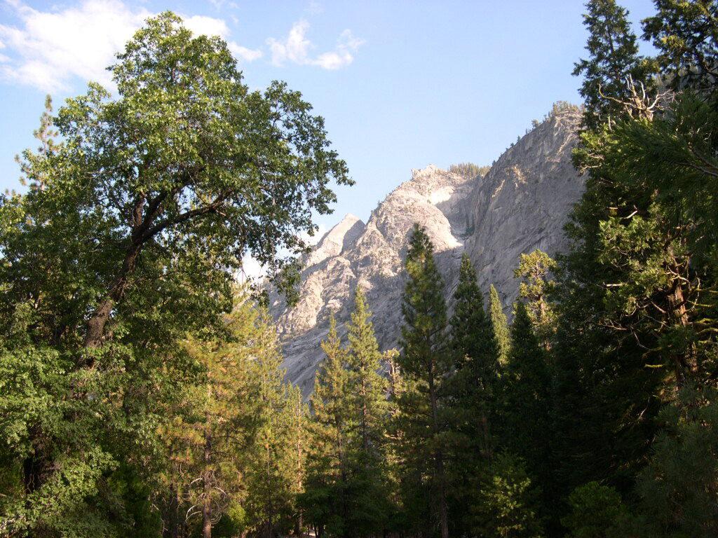
Sardine Lake, California

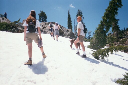
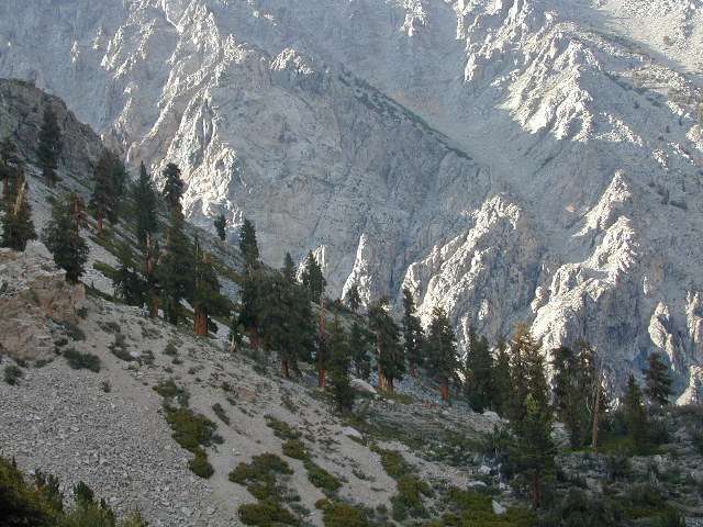
Hiking in Snow, in early Summer
see also –
Sierra Buttes Map by NatGeo


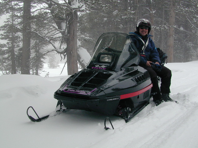
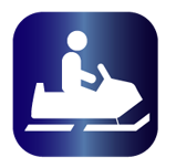 Gold Lake Highway closes annually for winter, due to deep snow. Winter recreation include cross country skiing, snowmobiling and snow shoeing. Campgrounds are only open a few months during the summer.
Lakes Basin and Gold Lake is located in Northern Gold Rush Country on the border of Plumas National Forest and Tahoe National Forest
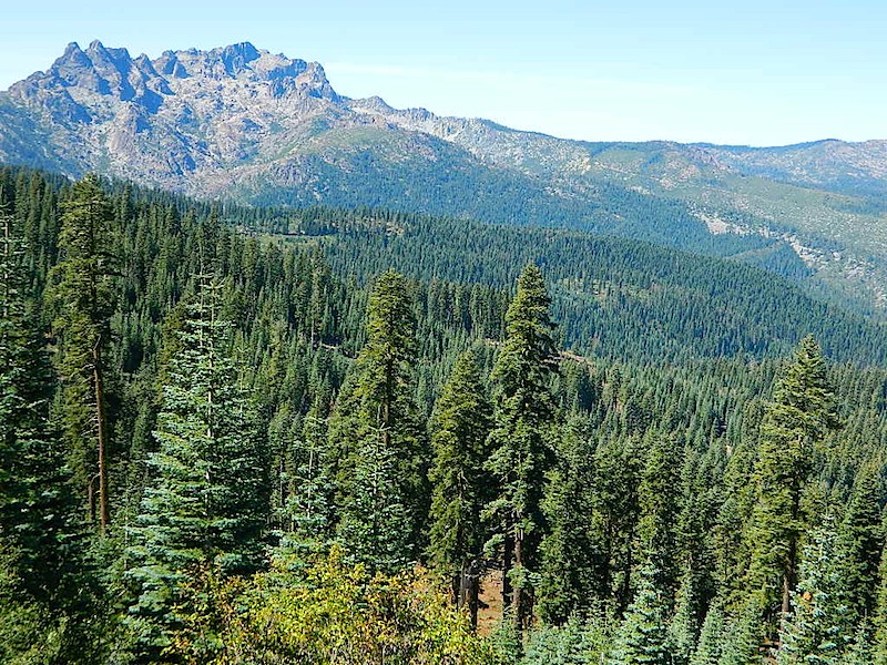
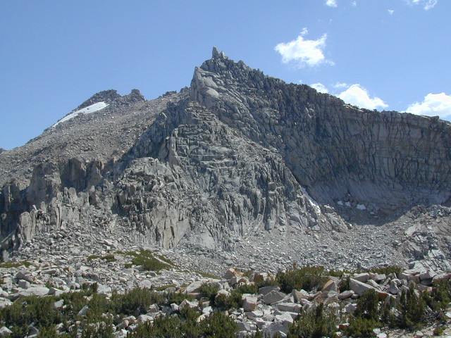
Sierra Buttes, as seen from Forest Road #37

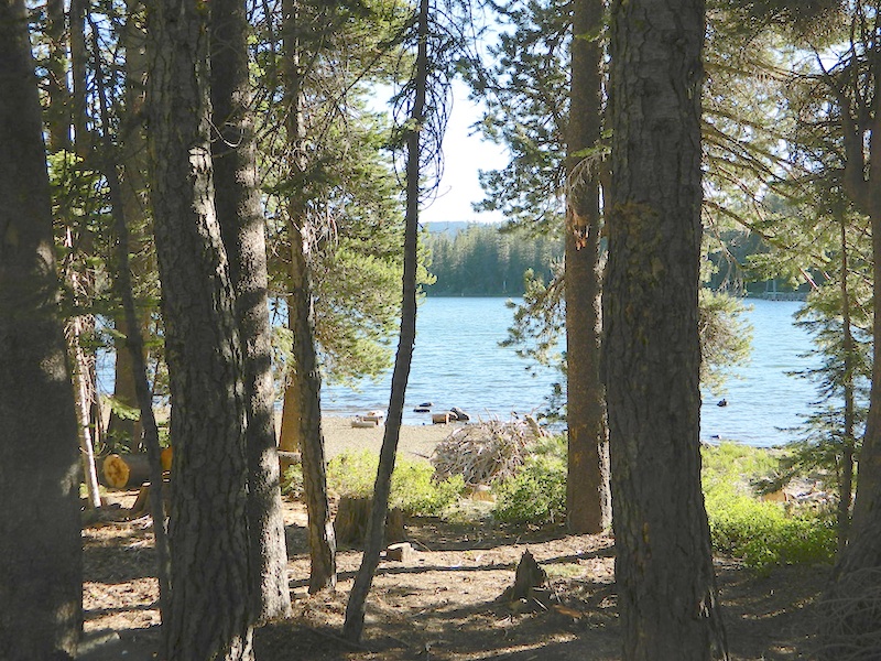
Snag Lake, on Gold Lake Highway
nearby towns: