Kern River Maps

Kern River Canyon Recreation Maps

Kern River Maps

Lower Kern River Trail

  • backpacking
  • boulders
  • camping
  • cedar groves
  • fishing
  • fire lookout towers
  • hiking
  • horseback riding
  • hot springs
  • hunting
  • mountain meadows
  • mountain biking
  • off-roading
  • rock climbing
  • sequoia groves
  • wildflowers

Kern River Map

Maps of the Kern River Canyon & vicinity:

Southern Sierra Map
Sequoia National Forest USDA Map

Dome Land Wilderness Map USDA
Golden Trout South Sierra Map USDA
Golden Trout Wilderness Map Tom Harrison
Jawbone Canyon, Kelso Valley OHV Map
Pacific Crest Trail Topo Map #3

Kern River Maps

Lake Isabella, from Caliente Bodfish Road

Kern River
Kern Plateau
Shermans Pass Road #22S05
Sierra Back Road Maps

Kern River Maps

Kern River Maps

Kern River Hot Springs

avenzabar

digital maps for download

BLM Topo Map – Lake Isabella, California
Tom Harrison Topo Map – Golden Trout Wilderness
Giant Sequoia Forest Map Topo
Pacific Crest Trail – Section G (Map Bundle)

USGS Topo Map – Alta Sierra, Shirley Mdws (free)
USGS Topo Map – Cannel Peak, Creek, Meadows (free)
USGS Topo Map – Johnsondale, Sequoia NF (free)

Kern River (north) OHV Guide Map
Kern River (south) OHV Guide Map
CTUC Inyo & Sequoia (south) OHV Map
USFS Winter Recreation Map – Sequoia NF (free)
USFS Winter Recreation Map – Western Divide, Sequoia (free)
USFS Map Sequoia MVUM – Kern River North (free)
Sequoia MVUM – Western Divide Map (free)
Inyo MVUM – Monache Mdws, South Fork Kern River (free)
Inyo MVUM – Southern Sierra OHV Trails (free)

California Deer Hunting Zone D8 – Kern Map
California Deer Hunting Zone X10 – South Sierra Map

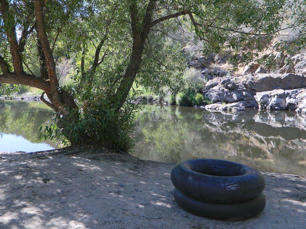
kern tube beaches

nearby towns:

Kern back road destinations:

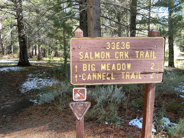
33E36trailhead

rinconcamp

Rincon Camp @ Sherman Pass Road

San Gabriel Mountains Map

San Gabriel Mountains
Topo Map Angeles

hikerWilderness Press makes this map specific to the San Gabriel Mountains, located high above the Los Angeles Basin, overlooking the southland. Numerous day hikes, backpacking trailheads, developed campgrounds, and back roads are displayed. Map includes the Wilderness Areas in this region, surrounding the Angeles Crest Highway 2.

San Gabriels Map

Campground

Campgrounds along Angeles Crest Hwy 2

see also – camp

Front Country Map
High Country Map
Los Angeles Map NatGeo
Angeles National Forest Map
Cucamonga Wilderness Map
Mount Baldy Map
Mount Wilson Map

Carson Iceberg, Emigrant, Mokelumne Map

National Geographic Trails Illustrated Map for Carson Iceberg, Emigrant, Mokelumne Wilderness Areas – Central Sierra Nevada Mountains

NatGeo Map #807 Carson Iceberg

NatGeo Carson Iceberg

Carson Iceberg Wilderness Map NatGeo 807

National Geographic makes this Trails Illustrated Trail Map that covers 3 different Wilderness areas inside the Central Sierra Nevada mountains – Carson Iceberg Wilderness, Emigrant Wilderness, Mokelumne Wilderness.

Trailheads, campgrounds, river, creeks, peaks, and alpine lakes. Backpack, camp, climb, fish, and hike. Basically, all the recreation destinations in this region. These regions are CLOSED for snow during winter months and usually only accessible during the summer period.

National Geographic Map 807. Trails Illustrated. GPS Compatible, Full UTM Grid. Waterproof ISBN# 9781566952651

National Geographic Map 807

OLDER EDITION


National Geographic Map 807

Emigrant Wilderness in the Central Sierra

Highland Lakes Trailheads

Highland Lakes Trailheads

Carson Iceberg Wilderness

Emigrant Wilderness

Mokelumne Wilderness

see also –

Carson Iceberg Wilderness Map
Emigrant Wilderness Trail Map
Mokelumne Wilderness Trail Map
Eldorado National Forest Map
Stanislaus National Forest Map
Stanislaus Forest Atlas

Cucamonga Wilderness Map

Cucamonga Wilderness Map

USDA Cucamonga Wilderness Map

2024 update: USGS may actually have this older paper map

hikers map

alternate map:

San Gabriel Mountains Map
by Wilderness Press

w/ Cucamonga Wilderness, Sheep Mountain Wilderness, San Gabriel Wilderness and Magic Mountain Wilderness

Cucamonga Wilderness Hiking Map, Angeles National Forest, San Gabriel Forests, Lytle Creek Routes, Mount Baldy Ski Area, West Baldy, Devils Backbone, Mt. Baldy Trails, Manker Flats, Stockton Flats, Mt. San Antonio, Telegraph Peak, Icehouse Canyon, Thunder Mountain, Timber Mountain, Cucamonga Peak. Waterproof plastic map.

mount baldy ski lodge

Mt Baldy photo by Chris DiNenna

trails

Hiking trails reach the summit from four sides of the mountain, and one route can be completed with assistance from the nearby ski lift. The trails vary in difficulty, and there are plenty of options for novices, as well as experienced hikers.

Mt. Baldy Notch – (3.5 miles one way): The trail begins at Manker Flats, where the Baldy Notch Service Road can be taken to the notch. The trail provides scenic views at the notch, and other trails ahead.

Devil’s Backbone – (3.2 miles one way from Notch: A service road at Mt. Baldy Notch leads to the Devil’s Backbone trailhead and continues to the main peak.

Mt. Baldy Trail – (6.5 miles one way to Mt. Baldy Summit): This is the oldest and longest trail to the summit. Because it starts at Mt. Baldy Village, it has almost 6000′ of elevation gain.

Icehouse Canyon – (3.7 miles one way): The Icehouse Canyon trail begins in the parking lot at Icehouse and goes all the way up to Icehouse Saddle where a number of trails can be taken either to the Notch or to nearby peaks such as Ontario and Cucamonga. (5.5 miles).

Ski Hut Trail – This trail follows the east side of the San Antonio Creek canyon to a small backcountry ski hut owned by the Sierra Club. A use trail continues around the left side of the bowl and then to the summit.

Three T’s – (5.3 miles one way): The trail starts and ends at the Icehouse Canyon Trailhead. It leads to views from the summits of Thunder, Timber and Telegraph Mountains.

hikers map

see also –

Angeles Crest Maps
Angeles National Forest Map
Angeles Forest Atlas
PCT Map #2 
San Gabriel Mountains Map