4×4 Guide Tahoe NF

4×4 Tahoe Trail Maps
Off Roading Routes

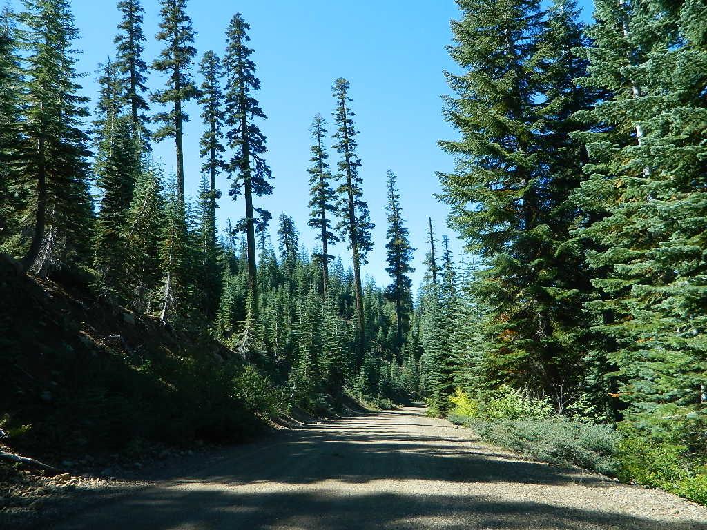
4x4 maps4×4 Tahoe Trail Maps: Explore the 4WD (four wheel drive) dirt and gravel roads inside the Lake Tahoe region. Please follow the links listed at the bottom of this page for more Tahoe Maps.

Camping Lake Map

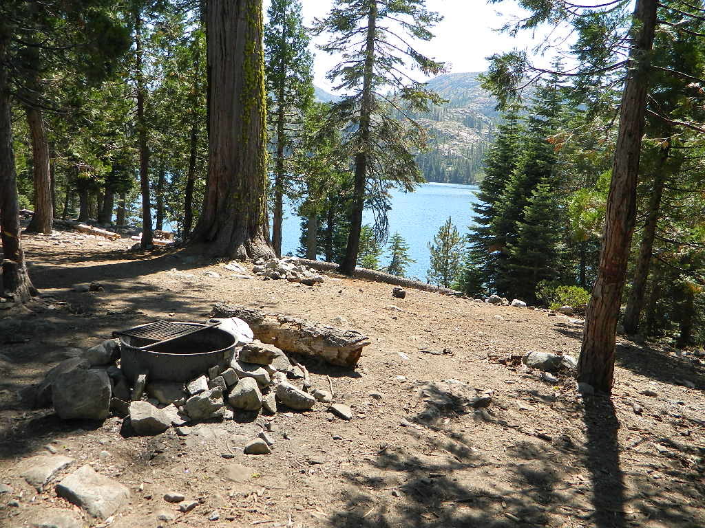
Sawmill Lake, Tahoe NF – N of Donner Pass I-80


4Wheeler’s Guide to Trails of the Tahoe National Forest, CA; Lake Tahoe to the North Yuba River

4Wheeler’s Guide to the Rubicon Trail

2024: BOTH THESE MAPS ABOVE NOW OUTTA PRINT

driftwood

California off roading with 4×4 Tahoe Trail Maps. Topographical hard copy maps show contour lines, routes, trailheads, campgrounds, alpine lakes, mountain peaks, wilderness boundaries.  Maps for use by nomad campers, mountain bikers, dirt bikers, jeeps, SUVs, ATVs, and all off roading rigs. Overland camping options in the high elevation Sierra Nevada mountains.

see also –dirt bikes trail map

Lake Tahoe Basin Topo Atlas

Tahoe National Forest Map USDA

Lake Tahoe Basin – Recreation @ Lake Tahoe

Tahoe Rim Trail Topo Map by Tom Harrison

USDA Lakes Basin, Sierra Buttes Map

bowman cliff shoreline

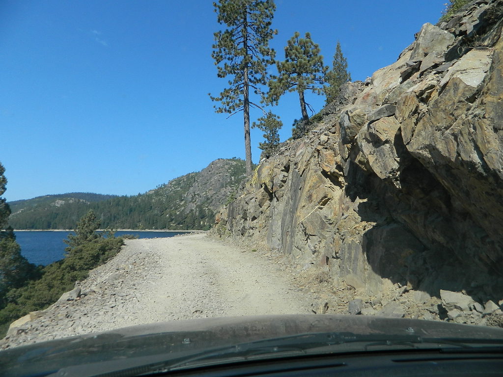
Bowman Lake, narrow cliff shoreline

Tahoe Forest Maps
by National Geographic

Tahoe East – Sierra Buttes & Donner Passfishing maps tahoe

Tahoe West – Yuba River & American River

sierra buttes maps

Back Roads @ N Yuba, Lakes Basin

Lakes Basin Recreation Area: Sierra Buttes
GOLD LAKE HWY. North Sierra Nevada – where granite spires touch the sky and river canyons run deep. Alpine lakes are covered in snow half the year w/ Gold Lake being the largest.

Totally worth a weekend visit! Spending a full week here is ideal. Summer destination for cabins, camping, hiking, fishing, waterfalls, and even off road routes; Winter offers snow recreation: cross country ski, snow shoe trails, and snow mobile access.
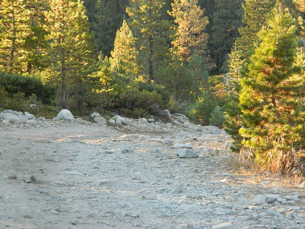
forest roads map tahoe

Tire Tools: roadside assistance
doesn’t do dirt roads

4x4 Patch Kit ARB

Baja California Books

Benchmark Baja California
Road & Recreation Atlas

Baja Map Mexico

Release date MAY 2021 – announcing a brand new atlas for Baja California, created by Benchmark Maps. 

see more Baja California Maps

Baja California Books

Baja California Mexico

Baja California Mexico Books


Baja California Books

Baja California Books

Baja California Books

Lower California

as opposed to Alta California (US state of California)

Baja California encompasses a territory within the Californias region of North America, which exhibits diverse geography for a relatively small area. The Peninsular ranges of the California cordillera run down the geographic center of the state. The most notable ranges of these mountains are the Sierra de Juárez and the Sierra de San Pedro Mártir. These ranges are the location of forests reminiscent of Southern California’s San Gabriel Mountains. Picacho del Diablo is the highest peak on the peninsula.

Valleys between the mountain ranges are located within a farm growing climate zone, that is particularly suitable for agriculture. Such valleys include the Valle de Guadalupe and the Valle de Ojos Negros, areas that produce citrus fruits and grapes. The mineral-rich mountain range extends southwards to the Gulf of California, where the western slope becomes wider, forming the Llanos del Berrendo on the border with Baja California Sur. The mountain ranges located in the center and southern part of the state include the Sierra de La Asamblea, Sierra de Calamajué, Sierra de San Luis and the Sierra de San Borja.

Baja Climate

Temperate winds from the Pacific Ocean and the cold California Current make the climate along the northwestern coast pleasant year-round. Rains from the north barely reach the peninsula, thus leaving southern areas drier. South of the El Rosario River, the terrain changes from a Mediterranean landscape to a desert one. This desert exhibits diverse succulent species that flourish in part due to the coastal fog.

There are numerous islands on the Pacific shore. Guadalupe Island is located in the extreme west of the state’s boundaries and is the site of large colonies of sea lions. Cedros Island exists in the southwest of the state’s maritime region. The Todos Santos islands are located off the coast of Ensenada; Coronado Islands are located off of Tijuana.

Baja California Books

Gonzaga Bay, Baja California Mexico

Outdoor Deaths

Outdoor Deaths

The books below are warnings to all who wish to be enlightened on wilderness skills and reality. Come all clumsy, clueless and naive. Outdoorsman, weekend campers or highway stranded motorists. Learn from true stories on disappearances.

City folks beware, hundreds of people go missing, vanish or die every year in the wild lands of this country. Most disappear inside popular National Parks and numerous State Parks.

If you are indeed interested to discover how easy it is for people to get lost, fall off of a cliff, get injured or attacked, drown, be kidnapped or die in the mountains – then these books may be good reading material.

On foot, by truck or by car, the stories are long and ever detailed, often ending with more questions than answers.

Books on National Park Deaths and other outdoor fatalities

Tales for Cautious Campers

Outdoor Deaths

Outdoor Deaths

Outdoor Deaths

Outdoor Deaths

Outdoor Deaths


Outdoor Deaths

Outdoor Deaths

see also – 

Outdoor Books
Outdoor Gear

State Atlases