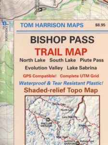
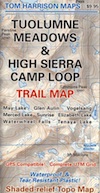
Tuolumne Trail Map
High Sierra Camps
Tom Harrison
2022: OUTTA PRINT & UNAVAILABLE
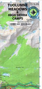
HIGH SIERRA CAMP LOOP
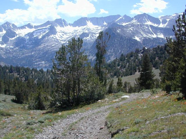
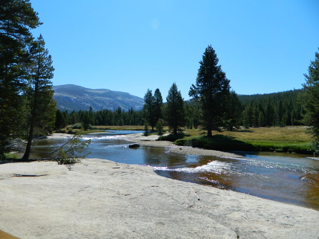
Tuolumne climbing. Tuolumne falls. Tuolumne hikes.
PREVIOUS VERSION
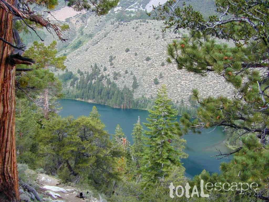
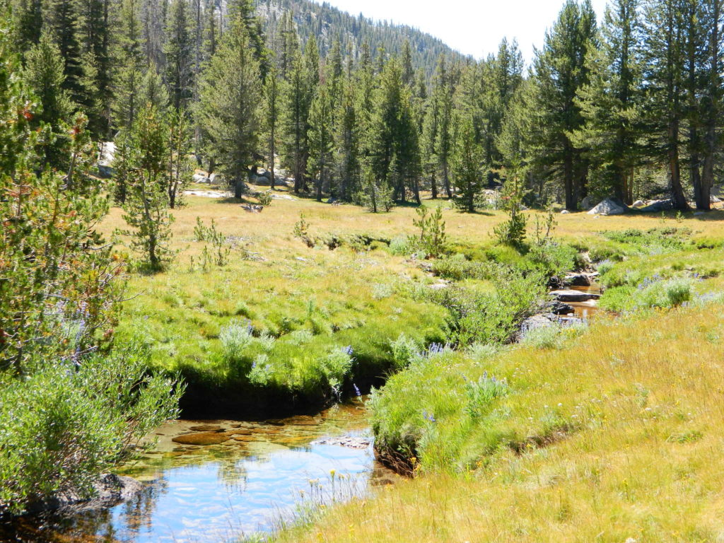
Tuolumne Meadows & Tuolumne River
Yosemite National Park hikes
Tuolumne Meadows Trail Map; Yosemite Tuolumne Mdws Hiking Map. Areas include: High Sierra Camps, May Lake, Vogelsang Camp, Sunrise Camp, Elizabeth Lake, Tenaya Lake, Yosemite Backcountry Highcountry, Waterwheel Falls, Merced Lake, Glen Aulin. Map features the entire High Sierra Camp Loop Trail, and interception of the John Muir Trail and the Pacific Crest Trail.
Topo Yosemite Topo Maps Backpacking Tuolumne High Country, High Sierra Loop Maps; GPS Compatible. Durable, waterproof plastic map; Folded. Map Scale: 42K; ISBN# 9781877689802
![]() download digital version of this map –
download digital version of this map –
Tuolumne Meadows Hiking Map
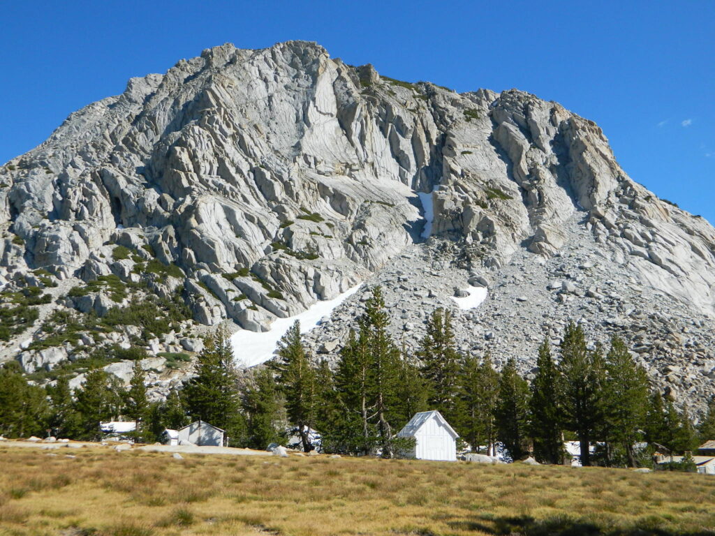
Vogelsang Camp
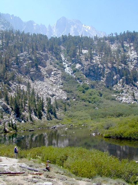
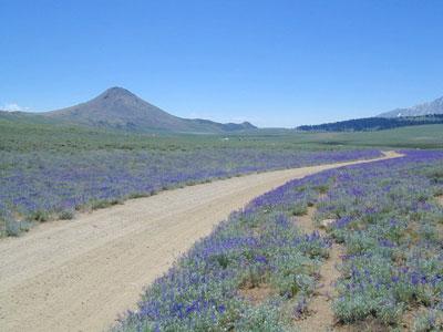
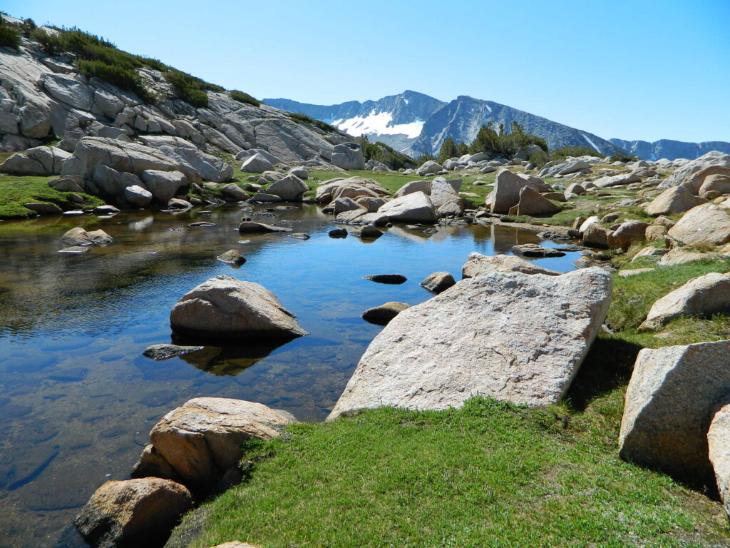
High Sierra Camps at Yosemite National Park are a network of summer tent cabin camps, erected in the wilderness, that are linked by a 50 mile loop hiking trail. The only way to reach these camps is on foot. Call it ‘ultralight backpacking’ cuz you can leave out the tent, stove and half the food. Meals are prepared in kitchens at each camp. Passing alpine lakes, creeks, meadows and granite peaks, the trails cover granite slabs, waterfalls, wildflowers and epic views of the back country. Advance reservations are required.
HSC Loop:
- Tuolumne Meadows Camp
- Volgelsang Camp
- Lake Merced Camp
- Sunrise Camp
- May Lake Camp
see also –
All Yosemite Maps by Tom Harrison
Half Dome Trail Map
All Yosemite Maps by NatGeo
Ansel Adams Wilderness Maps
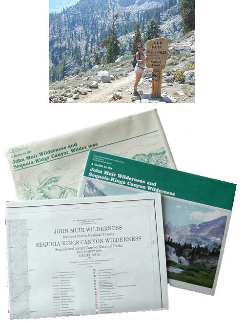
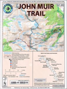
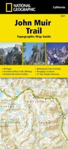
John Muir Trail Map


 The John Muir Trail is a long-distance hiking trail in the Sierra Nevada mountain range of California, passing through Yosemite, Kings Canyon and Sequoia National Parks.