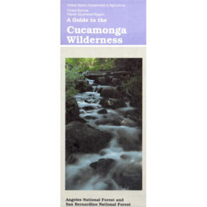
USDA Cucamonga Wilderness Map
2024 update: USGS may actually have this older paper map

alternate map:
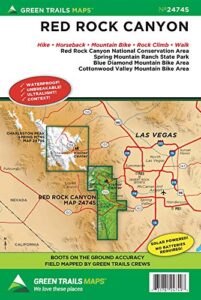
San Gabriel Mountains Map
by Wilderness Press
w/ Cucamonga Wilderness, Sheep Mountain Wilderness, San Gabriel Wilderness and Magic Mountain Wilderness
Cucamonga Wilderness Hiking Map, Angeles National Forest, San Gabriel Forests, Lytle Creek Routes, Mount Baldy Ski Area, West Baldy, Devils Backbone, Mt. Baldy Trails, Manker Flats, Stockton Flats, Mt. San Antonio, Telegraph Peak, Icehouse Canyon, Thunder Mountain, Timber Mountain, Cucamonga Peak. Waterproof plastic map.
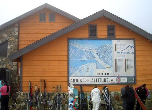
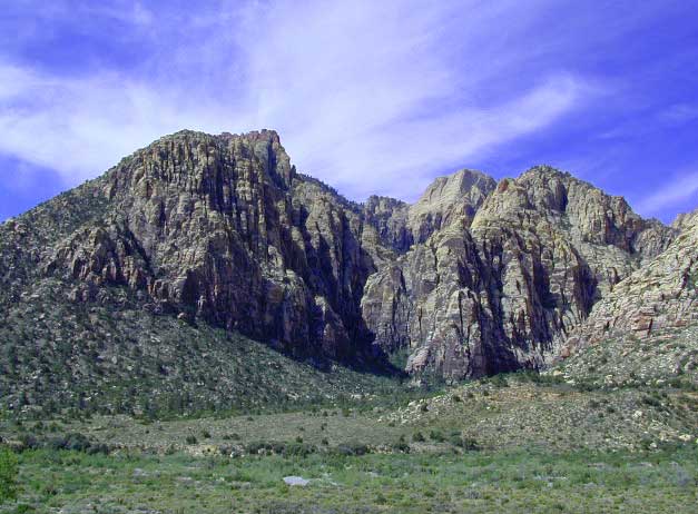
Mt Baldy photo by Chris DiNenna
trails
Hiking trails reach the summit from four sides of the mountain, and one route can be completed with assistance from the nearby ski lift. The trails vary in difficulty, and there are plenty of options for novices, as well as experienced hikers.
Mt. Baldy Notch – (3.5 miles one way): The trail begins at Manker Flats, where the Baldy Notch Service Road can be taken to the notch. The trail provides scenic views at the notch, and other trails ahead.
Devil’s Backbone – (3.2 miles one way from Notch: A service road at Mt. Baldy Notch leads to the Devil’s Backbone trailhead and continues to the main peak.
Mt. Baldy Trail – (6.5 miles one way to Mt. Baldy Summit): This is the oldest and longest trail to the summit. Because it starts at Mt. Baldy Village, it has almost 6000′ of elevation gain.
Icehouse Canyon – (3.7 miles one way): The Icehouse Canyon trail begins in the parking lot at Icehouse and goes all the way up to Icehouse Saddle where a number of trails can be taken either to the Notch or to nearby peaks such as Ontario and Cucamonga. (5.5 miles).
Ski Hut Trail – This trail follows the east side of the San Antonio Creek canyon to a small backcountry ski hut owned by the Sierra Club. A use trail continues around the left side of the bowl and then to the summit.
Three T’s – (5.3 miles one way): The trail starts and ends at the Icehouse Canyon Trailhead. It leads to views from the summits of Thunder, Timber and Telegraph Mountains.
see also –
Angeles Crest Maps
Angeles National Forest Map
Angeles Forest Atlas
PCT Map #2
San Gabriel Mountains Map

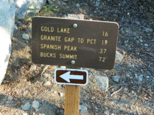
 East of Oroville, CA