Bishop Hiking Eastern Sierra
- North Lake – 9500′ elev
- Piute Pass – 11,423′
- Lake Sabrina – 9132′
- South Lake – 9755′
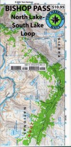
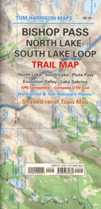
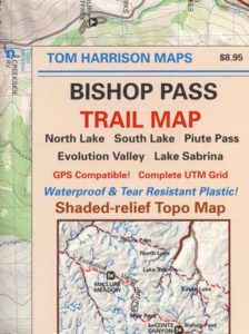
Bishop Pass Trail Map
Tom Harrison
Bishop, CA – located along US Hwy 395 is a hub for travelers and locals alike, in the high desert valley next to the Eastern Sierra range.
Tom Harrison Trail Map: Bishop Pass Maps, Backpacking Bishop CA; North Lake & South Lake Loop, Evolution Valley. PCT, John Muir Wilderness, LeConte Divide, Inyo National Forest, Inyo High Country, Sierra High Country; Sierra Nevada Passes; Hiking near Mount Whitney Backpacking Trip, california sierra camping; Durable, waterproof plastic map; Folded. Map Scale: 48K; ISBN# 9781877689680
![]() download digital version of this map –
download digital version of this map –
Bishop Pass Hiking Map
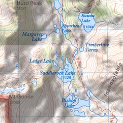
Bishop Pass @ 11,972′ elevation is a high mountain pass in the southern Sierra Nevada, California, on the border of the Inyo National Forest. John Muir Wilderness is located to the north and Kings Canyon National Park to the south. The Bishop Pass
Connecting the Bishop Creek valley with the John Muir Trail & Pacific Crest Trail. Bishop Pass is located west of Mount Agassiz, surrounded by multiple alpine lakes in the Dusy Basin and the Bishop Lake basin.
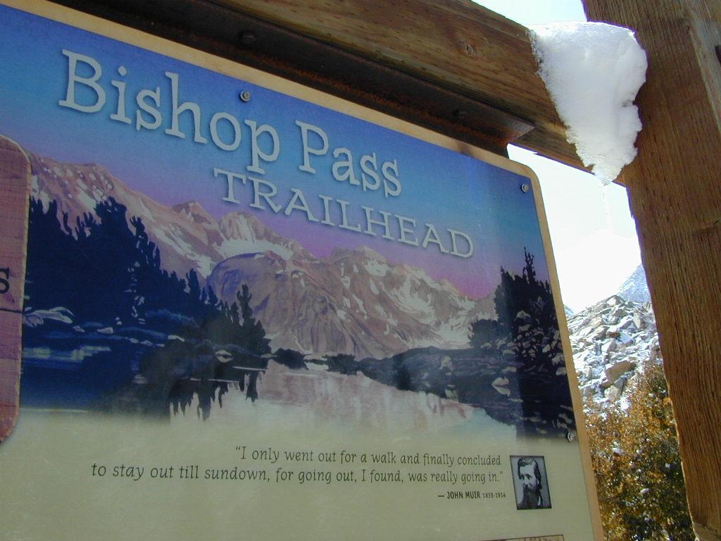
High Sierra backcountry access to –
- Evolution Basin & Valley
- Goddard Divide
- Humphreys Basin
- John Muir Wilderness
- Le Conte Divide
- Pacific Crest Trail (PCT)
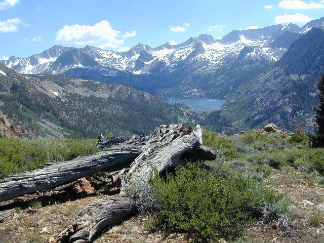
- South Lake – North Lake Loop
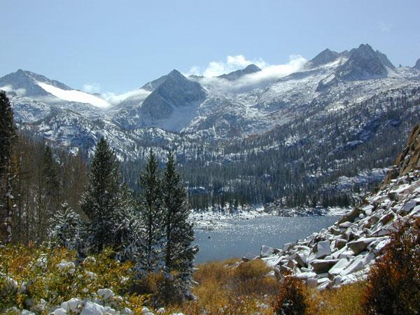
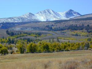
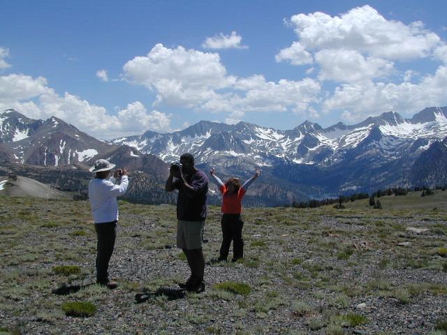
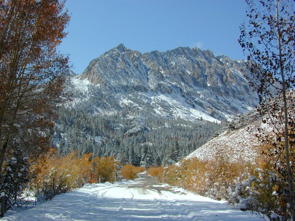
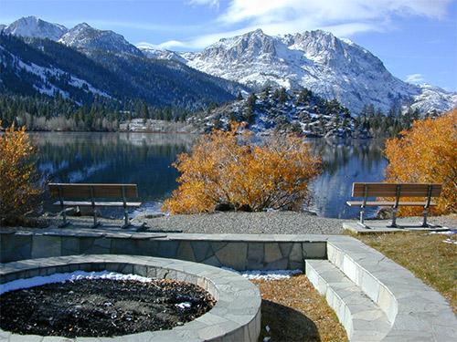
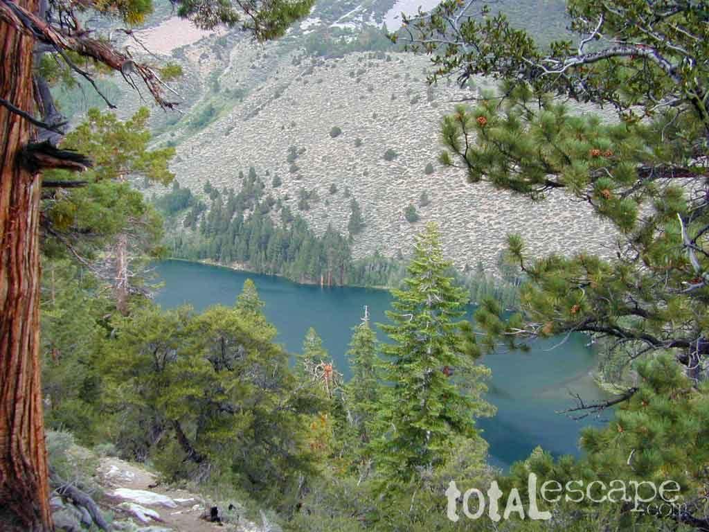
South Lake, above Bishop, California
see also –
- Inyo Forest Topo Atlas
- Inyo National Forest Map
- JMT John Muir Trail Maps
- Kings Canyon Highcountry Topo
- Mount Whitney Map
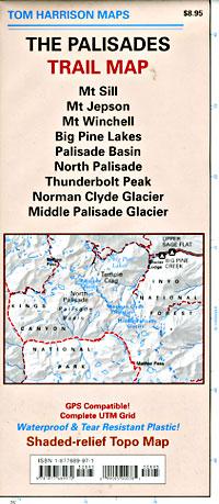
- Palisades Trail Map
previous edition
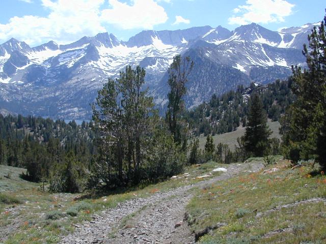
Piute Pass & Piute Crags near North Lake
OLDER EDITION


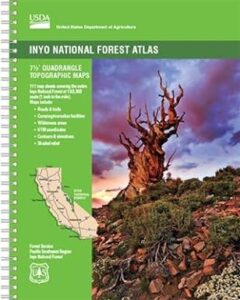
 The INYO atlas, is a spiral bound book – a collection of all the quads. (7.5 minute topographical maps, of all of