Golden Trout Wilderness Map

Golden Trout
Wilderness Area Maps
Mtn Home

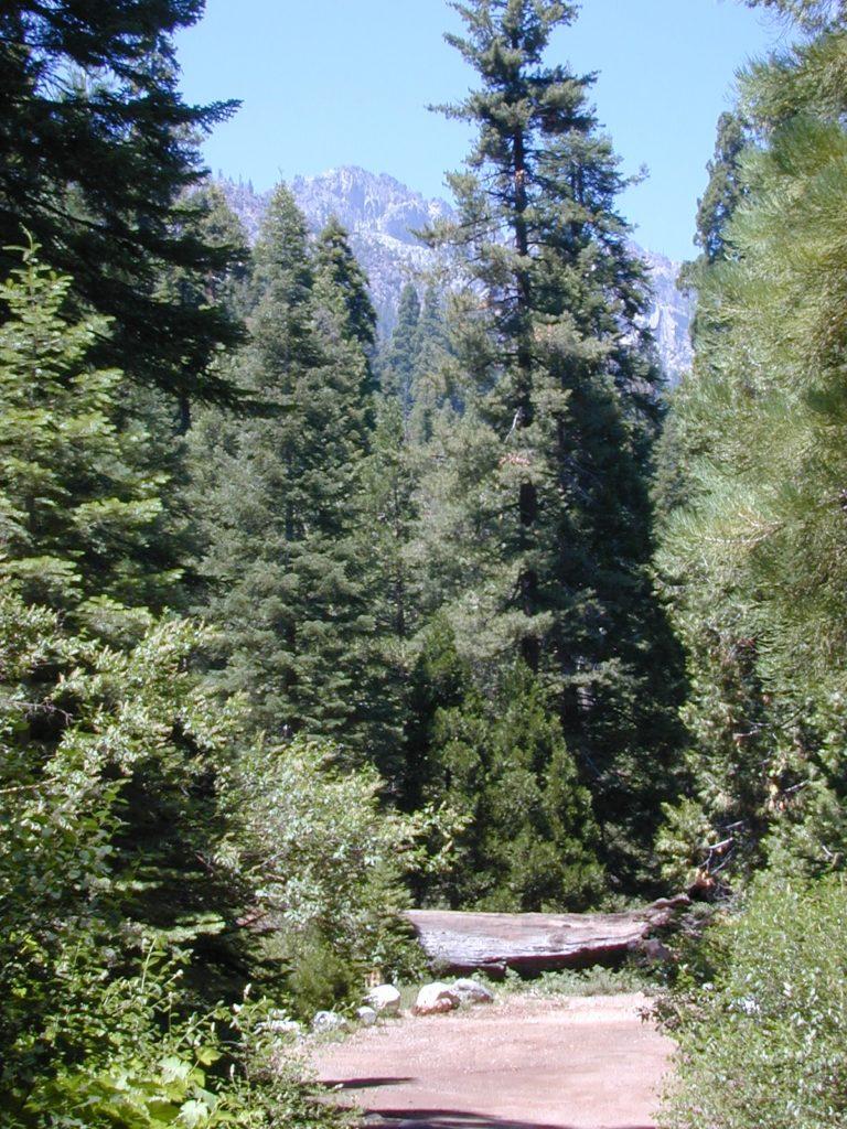
Golden Trout as seen from Mountain Home SF (2010)

Golden Trout / South Sierra Map
Golden Trout Wilderness USDA
Kern River Gorge
South fork of Kern River
Upper Kern River
Backcountry Sequoia
California

    • backpack trails
    • hiking trails
    • fishing lakes/streams
    • horse packing
    • hot springs
    • kern river
    • horse trails

Tom Harrison
Golden Trout Trail Map

Tom Harrison Map Kern

hiker

Golden Trout Wilderness
and South Sierra Wilderness

NFS

goldentrout
Golden Trout Wilderness Map
US Forest Service USGS

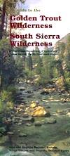
Official Trail Map for the U.S. National Forest Service. Map scale 1:63,360. Contour lines at 80 foot intervals show elevation. Detailed road network shown. Encompassing 475 square miles in the Sequoia and Inyo National Forests. Map Scale = 1″ to mile; Usually only found at Ranger Stations. MAY BE DISCONTINUED. Printed on paper in 1995.

Golden Trout Wilderness Trail Map, Sequoia National Forest, South Sierra Backpacking Maps, Forks of the Kern River Map, Jerky Meadow Trailhead, Big Whitney Meadow, Kern Peak, Coyote Peaks, Grey Meadow, Little Kern River, Kern Canyon, Jordan Hot Springs, Casa Vieja Meadow, Monache Meadows. Topo Sequoia Camping Kern River.

horseback

see also –
Golden Trout Wilderness Trail Map
Dome Land Wilderness Map
South Sierra Wilderness Map
Kern River Maps
goldencold

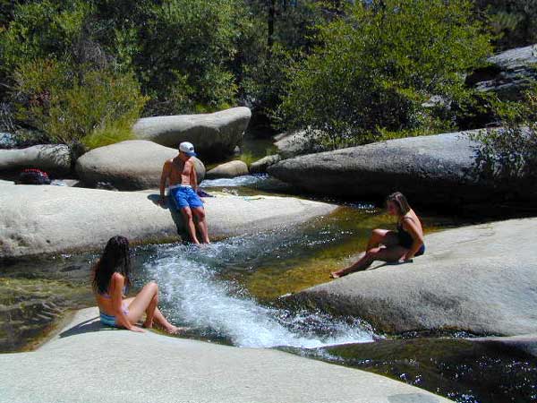
Creek dipping at Camp 4, Sequoia NF

JERKY MEADOW trailhead Forks of the Kern, located at the end of Sequoia forest road #22S82 also has numerous primitive camp sites located near the Kern Gorge. A moderate day hike will lead to waterfalls, swimming holes and granite bowls like these. Steep trails lead further down to the river 1000′ below. Forks of the Kern, Upper Kern River, Kern Hot Springs, Golden Trout Kern, Golden Trout Wilderness Area, South Sierra, Kern River Fishing, Camping, Backpacking Jerky Trailhead. Kennedy Meadows, California.

recent wildfires in this area:

Windy Fire 2021
Castle Fire / SQF Complex 2020forestKern River Map

Sequoia Books

Sequoia Groves in California

Find Maps for Kern River Canyon
(Sequoia National Forest)
Find Kings Canyon High Country Map
Find Maps for Kings Cyn & Sequoia National Parks

Books on the Southern Sierra Mountains, Calaveras Big Trees, Sequoia National Forest & Sequoia National Park

Sequoia Books

Sequoia Books

Sequoia Books

Sequoia Books

Sequoia Books

Sequoia Books

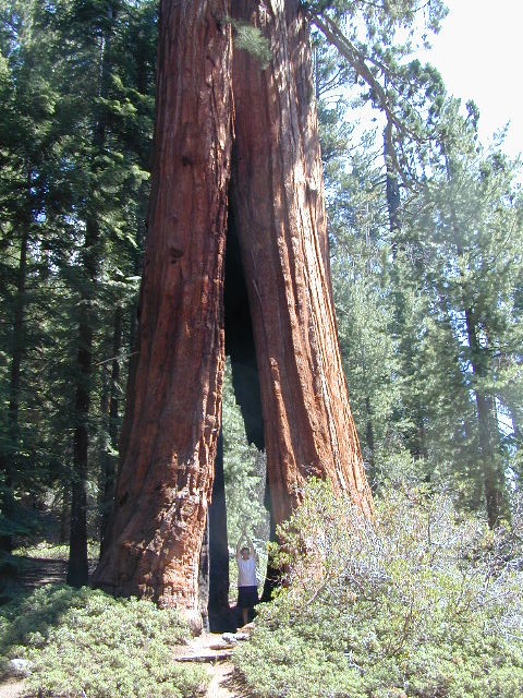
Giant Sequoia are the most massive individual trees in the world. They grow to an average height of 164–279 feet with trunk diameters ranging from 20–26 feet. Record trees have been measured at 311 feet tall. The specimen known to have the greatest diameter at breast height is the General Grant tree at 28.9 feet.

The oldest known giant sequoia is approximately 3,200 years old based on dendrochronology. Giant sequoias are among the oldest living organisms on Earth. Giant sequoia bark is fibrous, furrowed, and may be 3 feet thick at the base of the columnar trunk. The sap contains tannic acid, which provides significant protection from fire damage. The leaves are evergreen, awl-shaped and arranged spirally on the shoots.

The giant sequoia regenerates by seed. The seed cones are 1–3 inches long and mature in 18–20 months, though they typically remain green and closed for as long as 20 years. Each cone has 30–50 spirally arranged scales, with several seeds on each scale, giving an average of 230 seeds per cone. Seeds are dark brown, yellow-brown wing along each side. Some seeds shed when the cone scales shrink during hot weather in late summer, but most are liberated by insect damage or when the cone dries from the heat of fire. Young trees start to bear cones after 12 years.

Sequoia Books

Giant Sequoia Trees on Western Divide Highway


Golden Trout Maps

National Forest MapsNational Forest USDA makes a paper map for the Golden Trout Wilderness which includes the South Sierra Wilderness. Good luck trying to find it; maybe @ ranger stations.
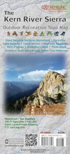
Tom Harrison also offers a hiking trail map for the Golden Trout Wilderness. Extremeline now makes a pretty decent Kern River Recreation Map.

backpacking, camping, climbing, hiking, horseback riding, fishing

  • Jerky Meadow
  • Kern Hot Springs (in the backcountry)
  • Kern River Gorge
  • Upper Kern River

golden trout

Golden Trout Wilderness Map USDA

Official Trail Map for the U.S. National Forest Service. Map scale 1:63,360. Contour lines at 80 foot intervals show elevation. Detailed road network shown. Encompassing 475 square miles in the Sequoia and Inyo National Forests. Map Scale = 1″ to mile; Usually only found at Ranger Stations – Hard to find maps. Perfect for a day hike reference or extended backpacking adventures. Printed on paper in 1995.

driftwood

Golden Trout Trail Map
Tom Harrison Maps

THgoldentrout

OLD VERSION

Golden Trout Wilderness Trail Map, Sequoia National Forest, South Sierra Backpacking Maps, Forks of the Kern River Map, Jerky Meadow Trailhead, Big Whitney Meadow, Kern Peak, Coyote Peaks, Grey Meadow, Little Kern River, Kern Canyon, Jordan Hot Springs, Casa Vieja Meadow, Monache Meadows. Topo Sequoia Camping Kern River; Durable, waterproof plastic map; Folded. Map Scale: 63.4K; ISBN# 9781877689765

driftwood

hikers mapGolden Trout Kern River, Golden Wilderness Trail Map, Sequoia, South Sierra Backpacking Maps, Forks of the Kern River Map, Jerky Meadow Trailhead, Big Whitney Meadow, Kern Peak, Coyote Peaks, Grey Meadow, Little Kern River, Kern Canyon, Jordan Hot Springs, Casa Vieja Meadow, Monache Meadows. Topo Sequoia Camping Kern River

Golden Trout Maps

Jerky Meadows Rd is Route #22S82

Extremeline Productions

horse trail mapsExtremeline also makes a Kern River Recreation Map which covers the Golden Trout trailheads, plus the whole Kern River Canyon area.

see also – fishing map

South Sierra Wilderness Map 
Sequoia National Forest Map
Sequoia Forest Topo Atlas
Sequoia Kings National Park Maps
Inyo National Forest Map 
Inyo Forest Topo Atlas