National Forest Atlas
National Forest Topographic Atlases
USDA National Forest Service
A complete collection of all ‘quads’ for any USFS forest inside California. QUAD short for Quadrangle – old fashioned topo maps. Spiral bound books provide terrain details, all roads, trails, trail camps, trailheads, river, creeks, lakes, developed campgrounds and ranger stations of each National Forests. Printed with minimal color, on heavy paper.
* Some forest atlases may be out of print, marked with (unavailable).
Forest Service Topo Maps
- Angeles Topo Atlas
- Cleveland Forest Atlas
- Eldorado Forest Atlas (unavailable)
- Klamath Forest Atlas
- Inyo Forest Atlas
- Lake Tahoe Basin Atlas
- Lassen Forest Atlas
- Los Padres Forest Atlas
- Mendocino Atlas
- Modoc Topo Atlas
- Plumas Forest Atlas (back in print)
- San Bernardino Atlas
- Sequoia NF Atlas
- Sierra National Forest Atlas
- Shasta-Trinity Topo Atlas
- Stanislaus Topo Atlas
- Tahoe Basin Atlas
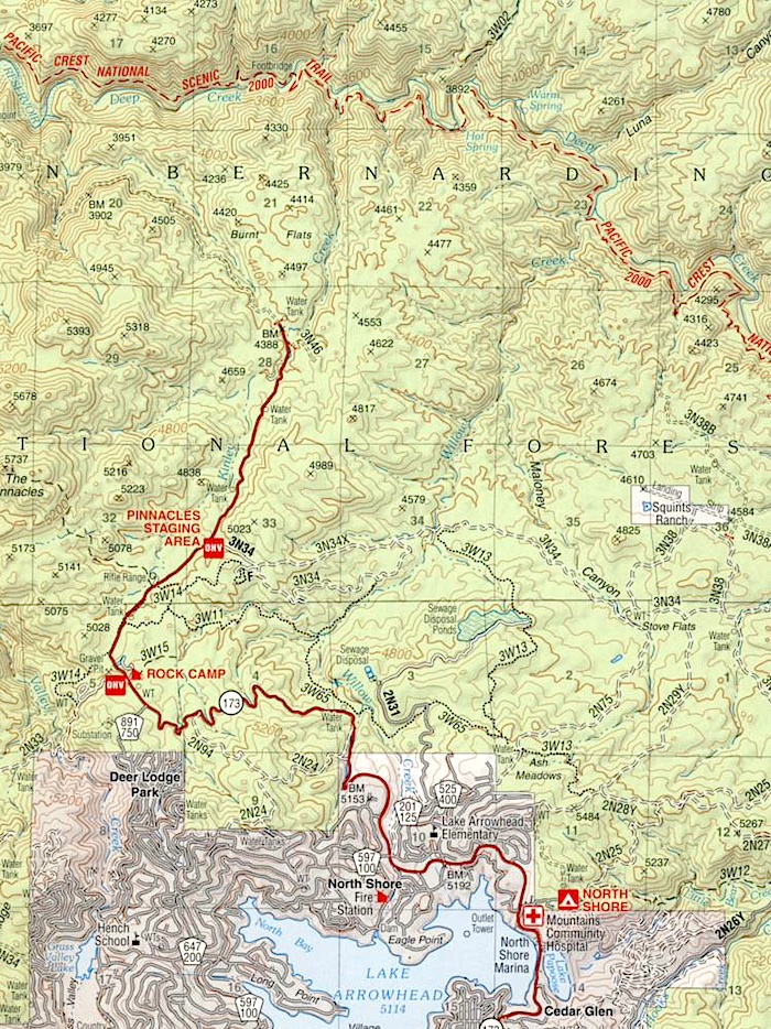
The National Forest Atlas is the USDA’s Forest Service Topo Maps – Quadrangles (quads for short) for a specific National Forest, all combined into book format w/ spiral bound.
In particular, contour lines + GPS, all peaks, paved roads, dirt roads, forest routes, hiking trails, campgrounds, dispersed camping areas, picnic grounds, sightseeing viewpoints, recreational lakes, waterfalls, rivers, creeks, trailhead parking, and staging areas. Hike, Bike, Kayak, Horseback, Off Road and Rock Climb.
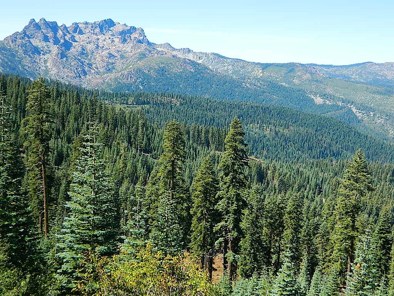
Sierra Buttes, from Forest Road #37
