Death Valley Road Trip, Camping Death Valley National Park, Mojave Desert California
Dante’s View, DVNP
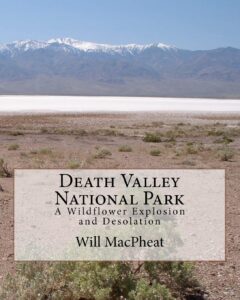
Death Valley is a desert valley in Eastern California, in the northern Mojave Desert, bordering the Great Basin Desert. It is one of the hottest places on Earth.
Bad Water
The Badwater Basin is the point of lowest elevation in North America, at 282 feet below sea level. It is located 85 miles east-southeast of Mount Whitney, the highest point in the contiguous United States, with an elevation of 14,505 feet.
Tallest Peak
The highest point in Death Valley National Park is Telescope Peak, in the Panamint Range, which has an elevation of 11,043 feet. This is one of the few spots that you can see the lowest point and the highest peak in the lower 48 states.
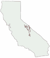
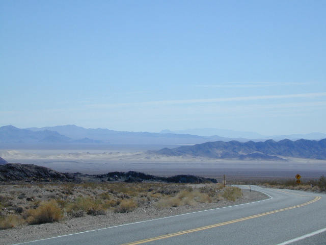
Lying mostly in Inyo County, California, near the border of California and Nevada, in the Great Basin, east of the Sierra Nevada mountains, Death Valley constitutes much of Death Valley National Park and is the principal feature of the Mojave and Colorado Deserts Biosphere Reserve. It runs from north to south between the Amargosa Range on the east and the Panamint Range on the west; the Grapevine Mountains and the Owlshead Mountains form its northern and southern boundaries, respectively. It has an area of about 3,000 sq miles.
Desert Climate
Death Valley has a subtropical, hot desert climate, with long, extremely hot summers; short, mild winters; and little rainfall.
The valley is extremely dry, because it lies in the rain shadow of four major mountain ranges (including the Sierra Nevada and Panamint Range). Moisture moving inland from the Pacific Ocean must pass eastward over the mountains to reach Death Valley; as air masses are forced upward by each range, they cool and moisture condenses, to fall as rain or snow on the western slopes. When the air masses reach Death Valley, most of the moisture has already been lost and there is little left to fall as precipitation.

see also –
Death Valley Topo Map
Benchmark California Atlas
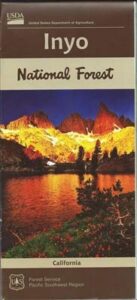
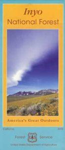
Inyo National Forest Map
Inyo Forest Topo Atlas
Jawbone Canyon Map
Amargosa Opera House @ Death Valley Junction
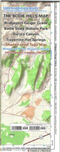
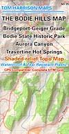
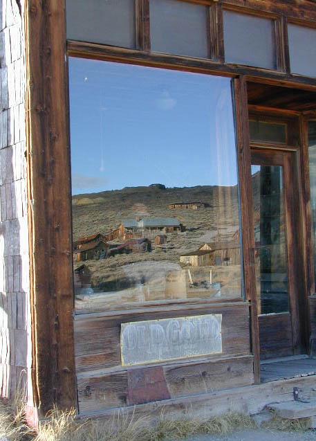
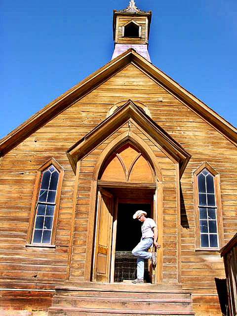
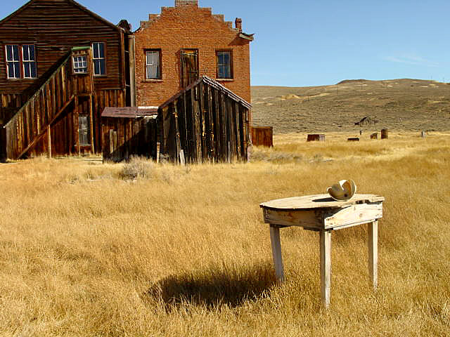
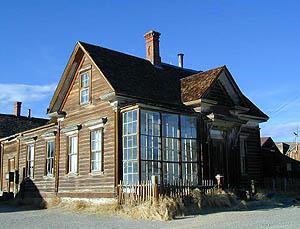 Bodie State Historic Park