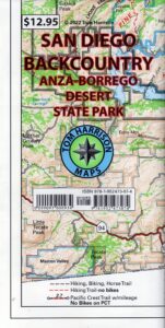
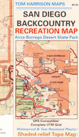
San Diego Backcountry Map
OLDER EDITION
Topographic Maps by Tom Harrison: San Diego Deserts, Anza Borrego Desert. The #1 top selling map for the San Diego deserts!
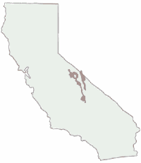
San Diego Backcountry Recreation Map covers the entire Anza Borrego Desert State Park, the largest State Park in California & some portions of Cleveland National Forest; San Diego County Road S-2, S-22, Interstate 8, Highway 78 & Highway 94 to Tecate Mexico.
Areas surrounding Borrego Springs, Anza Borrego Park map, Julian & Warner Springs. PCT access (Pacific Crest Trail) plus Table Mountain, Sheep Canyon, OHV Deserts Ocotillo Wells SVRA, McCain Valley Camping, Carrizo Gorge Trestle Hike, Jacumba Hot Springs, Tierra del Sol 4×4 Trails, San Diego Lake Morena, Barrett Lake, Campo CA Potrero Regional Park, Agua Caliente Hot Springs, Vallecito, Carrizo Goat Trestle & Canyon sin Nombre Badlands.
![]() get a digital version of this map
get a digital version of this map
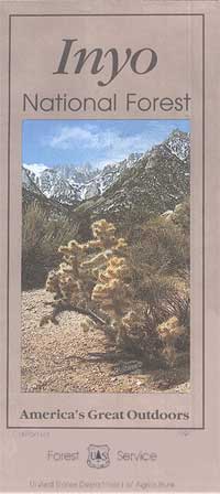
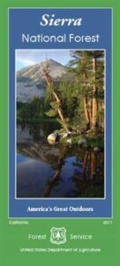
San Diego Backcountry Map
by Tom Harrison
Recreation Map by Tom Harrison. Durable, waterproof plastic map; Folded. Map Scale: 125K; ISBN# 9781877689543
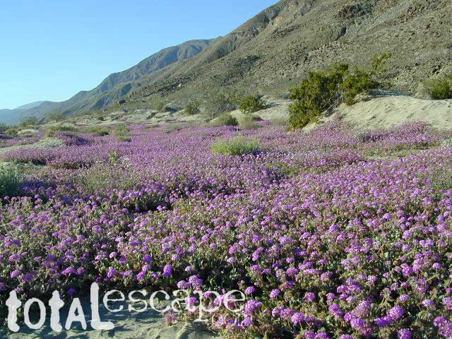
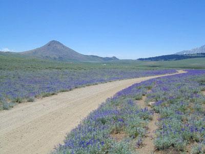
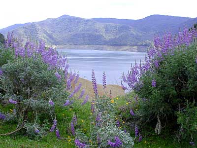
Borrego Desert is known best for Spring wildflowers (FEB-APRIL)
Two New San Diego Maps by Calico
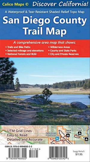 San Diego County Trail Map |
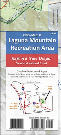 Mount Laguna Trail Map |
see also –
Cleveland National Forest Map
Cleveland Forest Topo Atlas
Wilderness Press Map of Anza Borrego Desert

more exploring Anza Borrego:
Anza 4×4 Trails
Agua Caliente Hot Springs
Canon Sin Nombre Slot Canyons
Carrizo Gorge Goat Trestle
Culp Valley Camping
Great Overland Stagecoach Route of 1849
Mason Valley Truck Trail
Old Kane Springs Road
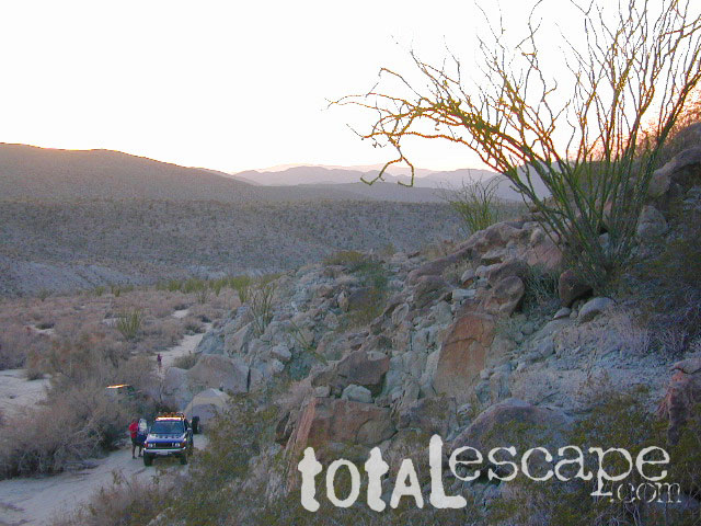
Split Mountain
Vallecito

Split Mountain, Anza Borrego State Park, Southern California


apps/maps:
download digital topos & maps
- Anza-Borrego Desert Park Map by Avenza (free)
- Anza-Borrego Map – Coyote Canyon (free)
- Anza-Borrego Map – Culp Valley (free)
- Anza-Borrego Map – Little Blair Valley (free)
- Anza-Borrego Map – Southern Overland Trail (free)
- Anza-Borrego Map – Angelina Spring (free)
- Anza-Borrego Map – Piedras Grandes (free)
- Anza-Borrego Map – Vallecito (free)
- BLM Map – Eastern San Diego Co. Routes (free)
- SD Backcountry & Anza-Borrego Desert by Tom Harrison
- CTUC Ocotillo Wells SVRA OHV Map
![]()
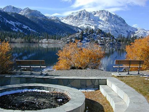
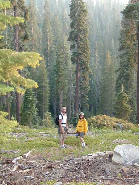
San Diego Camping, Anza Borrego Desert:

nearby towns:
- ALPINE
- BORREGO SPRINGS
- DESCANSO
- PINE VALLEY
- JULIAN, CA
- LAKE CUYAMACA
- LAGUNA MOUNTAIN
- MECCA, CA
- OCOTILLO, CA
- OCOTILLO WELLS
- RAMONA, CA
- VIEJAS
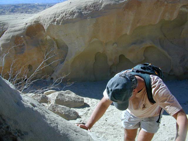
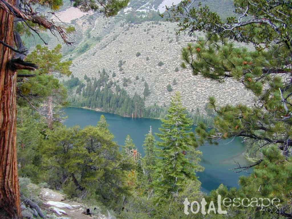
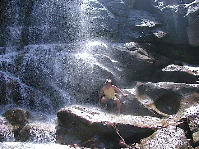
Exploring wind caves in Anza Borrego Desert

The whole canyon, all to yourself