Ansel Adams Wilderness Map

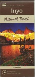
Ansel Adams Map USDA
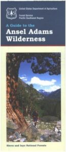
USDA Ansel Adams

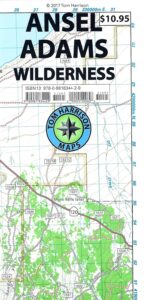
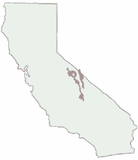
Ansel Adams Wilderness, part of Inyo NF and Sierra NF

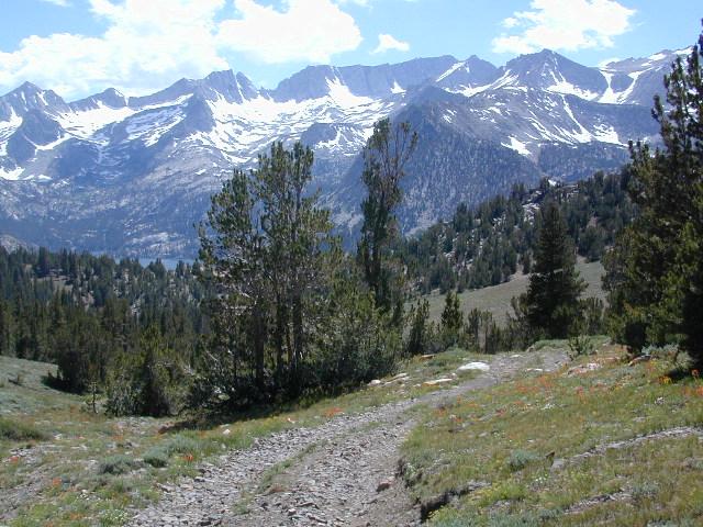
This High Sierra terrain spans some of the most majestic areas of the Sierra Nevada – the youngest mountain range in the U.S. This wilderness is bordered by National Parks, National Forests, and other Wilderness Areas – all the way around it. Kaiser Wilderness and Lake Edison inside Sierra NF on the west, Yosemite National Park on the north, Inyo NF on the east side, and John Muir Wilderness on the south end. Wow!

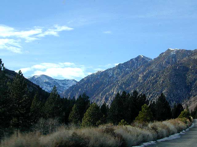
This 230,300 acre, high elevation wilderness was formerly the Minarets Wilderness, renamed in 1984 to honor the pioneering landscape photographer, Ansel Adams. Known for spectacular alpine scenery, elevations range from 7,000 to 14,000 feet. Rugged granite peaks and passes, with alpine lakes, includes high country east of the Sierra crest. Pacific Crest Trail and John Muir Trail cross this High Sierra Wilderness region.

This USDA map is also available at Ranger Stations.

Perfect for packing and hiking references, fishing lakes, creeks, high altitude camp sites, horse packing routes, or extended backpacking adventures. Map Scale = 1″ to mile; Printed on waterproof plastic paper. Updated in 2011. ISBN# 9781593515188
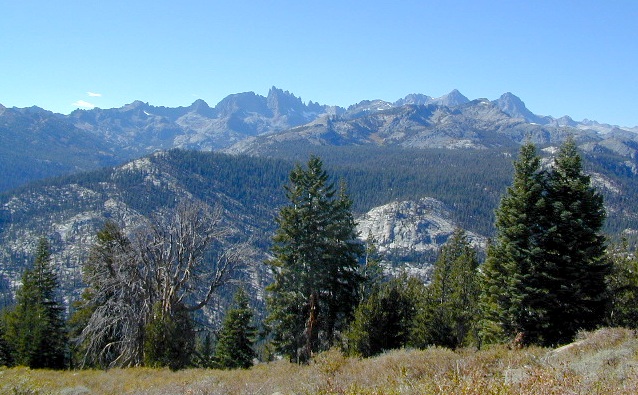
minarets

see also –

Ansel Adams Trail Map

Ansel Adams Wilderness Trail Map
by Tom Harrison Topo Maps
Eastern Sierra Trail Map

OLDER EDITION

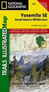
NatGeo Ansel Adams
Map #309
Yosemite SE

NatGeo Map

Ansel Adams Trailhead locations include –

Eastern Sierra: Lee Vining, June Lake, Mammoth Lakes, CA

Western Sierra: Edison Lake (pictured below), Huntington Lake, Shaver Lake, Clover Meadow, Mammoth Pool Reservoir, NorthFork via Bass Lake and Yosemite National Park.
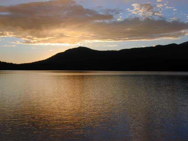
Edison Lake

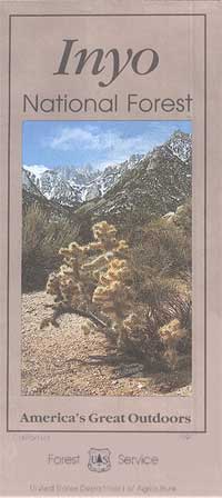
Inyo National Forest Map

Inyo Map

Inyo National Forest Map

Eastern Sierra Map, Inyo Map, Mt Whitney, Bishop Wilderness
NFS – USDA – U.S. Forest Service

USDA maps created for the National Forest Service. GPS: Longitude & Latitude; Rivers, Creeks, Peaks, Elevations, 4WD & every dirt BackRoad, Hot Springs, Equestrian Areas, all Campgrounds, Hiking Trails & Backpacking Trailheads.NFS

Areas include: Eastern Sierra, Range of Light, Owens Valley, Hwy. 395, Bishop, Lone Pine, Lee Vining, Independence, Mammoth, June Lake, East Yosemite, Mount Whitney, Mono Basin, White Mtns, Ancient Bristlecone Pine Forest, Monache Mdws, Golden Trout Wilderness, Cottonwood Lakes, Sierra Lakes, Mono Lake, John Muir Trail & JM Wilderness, Ansel Adams Wilderness, Lake Crowley, Hot Springs, Rock Creek, Inyo Mtns, Kennedy Mdws, South Sierra Wilderness.

inyoinyoNF

inyo2002

older version

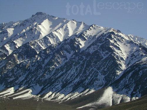
INYO_mountains

paper map from 1993


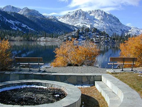
gull_lake

Gull Lake, next to June Lake in the Eastern Sierra

giganta
Eastern Sierra California
Inyo National Forest

Wilderness Areas in Eastern California:

White Mountains
Ancient Bristlecone Pines
John Muir Wilderness
Ansel Adams Wilderness
Hoover Wilderness
Yosemite EAST Wilderness
Fish Slough, N Bishop, CA
Piper Mountain Wildernesshiker
Kings Canyon High Country
Golden Trout Wilderness
South Sierra Wilderness
Inyo Mountains Wilderness

Inyo Hiking, off road, 4×4, Eastern Sierra, Mount Whitney, John Muir, Ansel Adams, Sierra Lakes, Inyo National Forest Topo Maps, Topographical Inyo Map, Eastern Sierra, Olancha Peak, Lone Pine, Alabama Hills, Whitney, Mammoth, June Lake, Rock Creek, Lee Vining, Bishop, Baker Creek, Sabrina, Palisades Glacier, Onion Valley, Independence, Coyote Flat, High Sierra Lakes, Eastern California

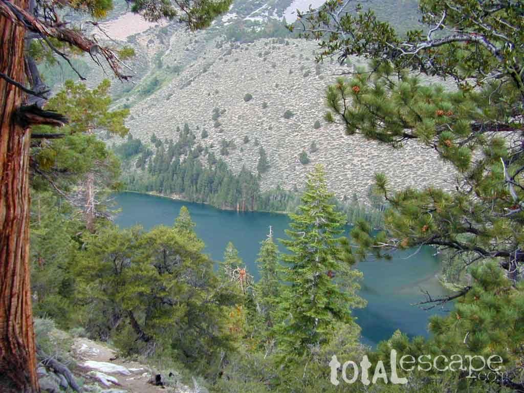
walkerlake

Hike-in only, Walker Lake @ June Lake Loop

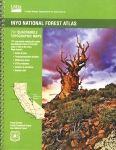
see also –Inyo Forest Topo Atlas
inyotopoatlaa

find more Eastern Sierra maps:

Ansel Adams Wilderness Maps
Bishop Pass Map
Bodie Ghost Town Map
Death Valley Park Maps
Devil’s Postpile Map
Dome Land Wilderness Map
Golden Trout Wilderness Maps
Hoover Wilderness Map
Jawbone Canyon OHV Map
JMT – John Muir Trail Map
Kern River Maps
Kings Canyon Highcountry Map
Mammoth High Country Map
Mono Divide Topo Map
Mono Lake Map
Mount Whitney Maps
NatGeo Mammoth Map #809
Palisades Trail Map
Toiyabe National Forest Map

Pacific Crest Trail Mapspct
PCT Map #3 South Sierra
PCT Map #4 Mid Sierra

EASTERN SIERRA LINKS:

Campgrounds Eastern Sierra
Camping Inyo
Eastern Sierra Hiking
Eastern Sierra Lakes
Inyo Forest Roads
June Lake Loop #1S63
Lundy Lake
Mammoth Fishing
Mono Lake, California
Onion Valley
Rock Creek Road
Silver Lake @ June
Walker Creek Olancha
Walker Lake Hike

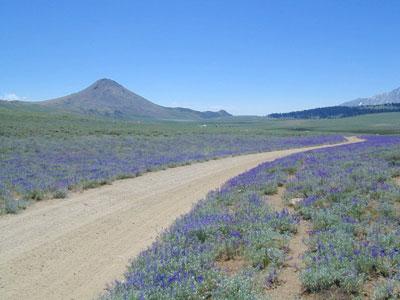
lupineway

Lupine Way – Coyote Flat, W of Bishop, CA

NEARBY TOWNS:

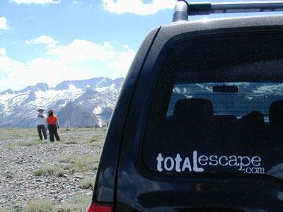
highsierra SUV

The High Sierra @ 10,000′ elevation, by SUV

avenzabar

digital maps for download

BLM Map – Alabama Hills Recreation Area (free)
Mammoth Mountain Topographic Map
NatGeo Map 809 – Mammoth Lakes, Mono Divide
Convict Lake Topographic Map
CTUC Inyo National Forest (north) OHV Map
CTUC Inyo NF (south) OHV Map
Inyo MVUM – Monache Mdws, South Fork Kern River (free)
Inyo MVUM – Inyo Mountains Map (free)
Inyo MVUM – Bald Mountain Mono (free)
Inyo MVUM – White Mountains Map (free)
Inyo MVUM – Glass Mountain Map (free)

inyohighroads

Upper Baker Creek Road, 4×4 Camping

Mono Lake Map

Mono Lake Map

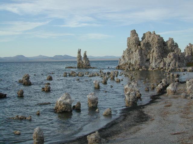
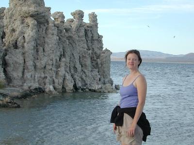
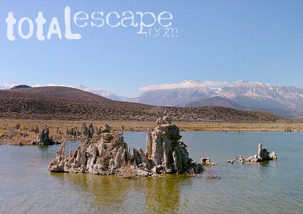
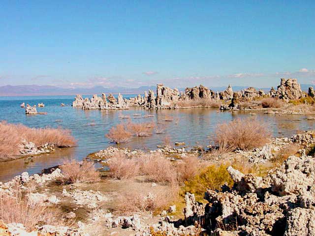
Tufa Towers at Navy Beach, Mono Lake


Mono Lake Topo Map
Mono Lake Topo Map

Mono Lake, Lee Vining & Lundy Canyon

Mono Lake is one of the most popular destinations in the Eastern Sierra region. Tom Harrison is the only topographic map that has all of Mono Lake on one sheet.

Eastern Sierra Lee Vining Trail Map, Lee Vining Canyon South; Areas covered: Lee Vining Hiking, South Tufa Mono Lake, County Park Old Marina, Lundy Canyon, Lundy Topo, Panum Crater.

Durable, waterproof plastic map; Folded. Map Scale: 63K; ISBN# 9781877689789

Mono Lake California 

avenza mapsdownload digital version of this map –
Mono Lake Topo Map

Mono Lake Map

Mono Lake is a saline soda lake in Mono County, California, formed at least 760,000 years ago as a terminal lake in an endorheic basin. The lack of an outlet causes high levels of salts to accumulate in the lake and make its water alkaline.

The high desert lake has an unusually productive ecosystem based on brine shrimp, which thrive in its waters, and provides critical habitat for two million annual migratory birds that feed on the shrimp and alkali flies.

When the city of Los Angeles diverted water from the freshwater streams flowing into the lake, it lowered the lake level, which imperiled the migratory birds. The Mono Lake Committee formed in response and won a legal battle that forced Los Angeles to partially replenish the lake level.

Dissolved salts in the runoff thus remain in the lake and raise the water’s pH levels and salt concentration. The tributaries of Mono Lake include Lee Vining Creek, Rush Creek and Mill Creek which flows through Lundy Canyon.

The basin was formed by geological forces over the last five million years: basin and range crustal stretching and associated volcanism and faulting at the base of the Sierra Nevada.

nearby destinations:

Mono Lake Map

see also –
Ansel Adams Wilderness Map
Bodie Hills Map
Mammoth Lakes Map NatGeo
Toiyabe National Forest Map USDA
Yosemite Highcountry Map

Mono Lake Map


Lundy Canyon
Lundy Lake California