Kern River Maps

Kern River Canyon Recreation Maps
Kern River Maps

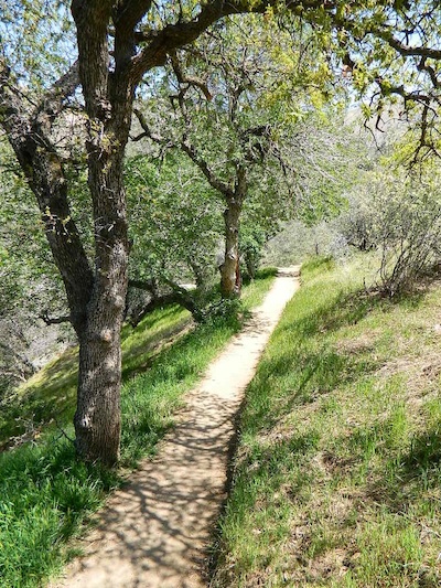
Lower Kern River Trail

  • backpacking
  • boulders
  • camping
  • cedar groves
  • fishing
  • fire lookout towers
  • hiking
  • horseback riding
  • hot springs
  • hunting
  • mountain meadows
  • mountain biking
  • off-roading
  • rock climbing
  • sequoia groves
  • wildflowers

Kern River Map

Maps of the Kern River Canyon & vicinity:

Southern Sierra Map
Sequoia National Forest USDA Map

Dome Land Wilderness Map USDA
Golden Trout South Sierra Map USDA
Golden Trout Wilderness Map Tom Harrison
Jawbone Canyon, Kelso Valley OHV Map
Pacific Crest Trail Topo Map #3

Kern River Maps

Lake Isabella, from Caliente Bodfish Road

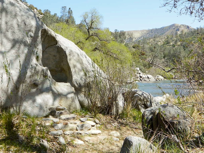
Kern River
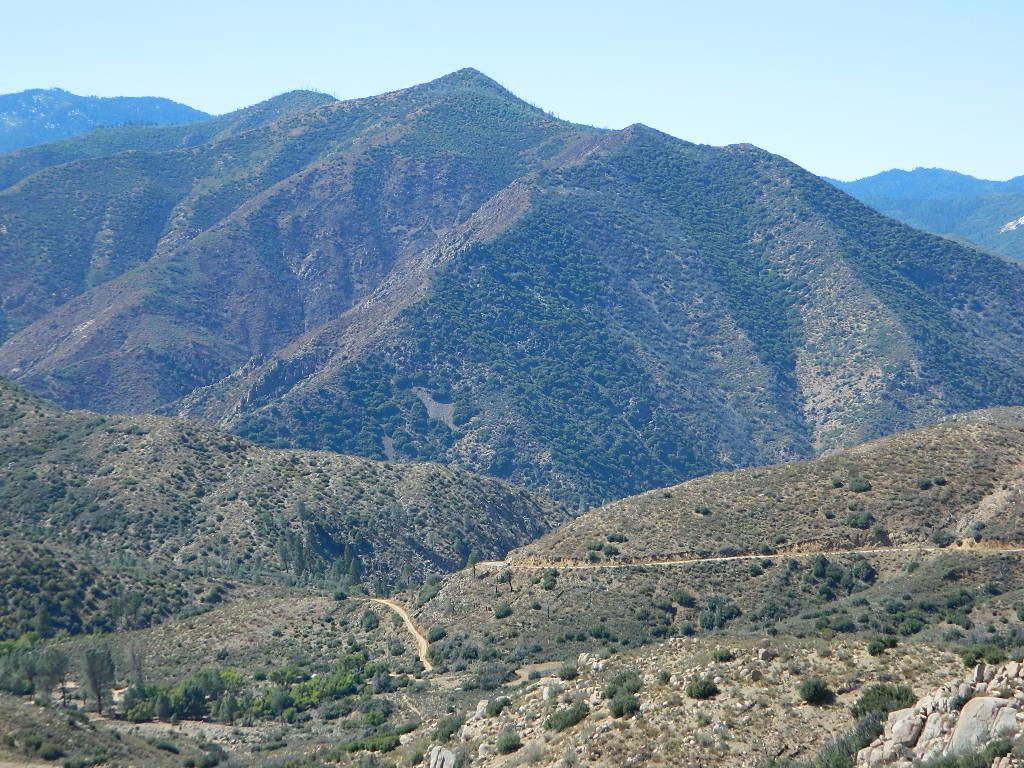
Kern Plateau
Shermans Pass Road #22S05
Sierra Back Road Maps

Kern River Maps

Kern River Maps

Kern River Hot Springs

avenzabar

digital maps for download

BLM Topo Map – Lake Isabella, California
Tom Harrison Topo Map – Golden Trout Wilderness
Giant Sequoia Forest Map Topo
Pacific Crest Trail – Section G (Map Bundle)

USGS Topo Map – Alta Sierra, Shirley Mdws (free)
USGS Topo Map – Cannel Peak, Creek, Meadows (free)
USGS Topo Map – Johnsondale, Sequoia NF (free)

Kern River (north) OHV Guide Map
Kern River (south) OHV Guide Map
CTUC Inyo & Sequoia (south) OHV Map
USFS Winter Recreation Map – Sequoia NF (free)
USFS Winter Recreation Map – Western Divide, Sequoia (free)
USFS Map Sequoia MVUM – Kern River North (free)
Sequoia MVUM – Western Divide Map (free)
Inyo MVUM – Monache Mdws, South Fork Kern River (free)
Inyo MVUM – Southern Sierra OHV Trails (free)

California Deer Hunting Zone D8 – Kern Map
California Deer Hunting Zone X10 – South Sierra Map
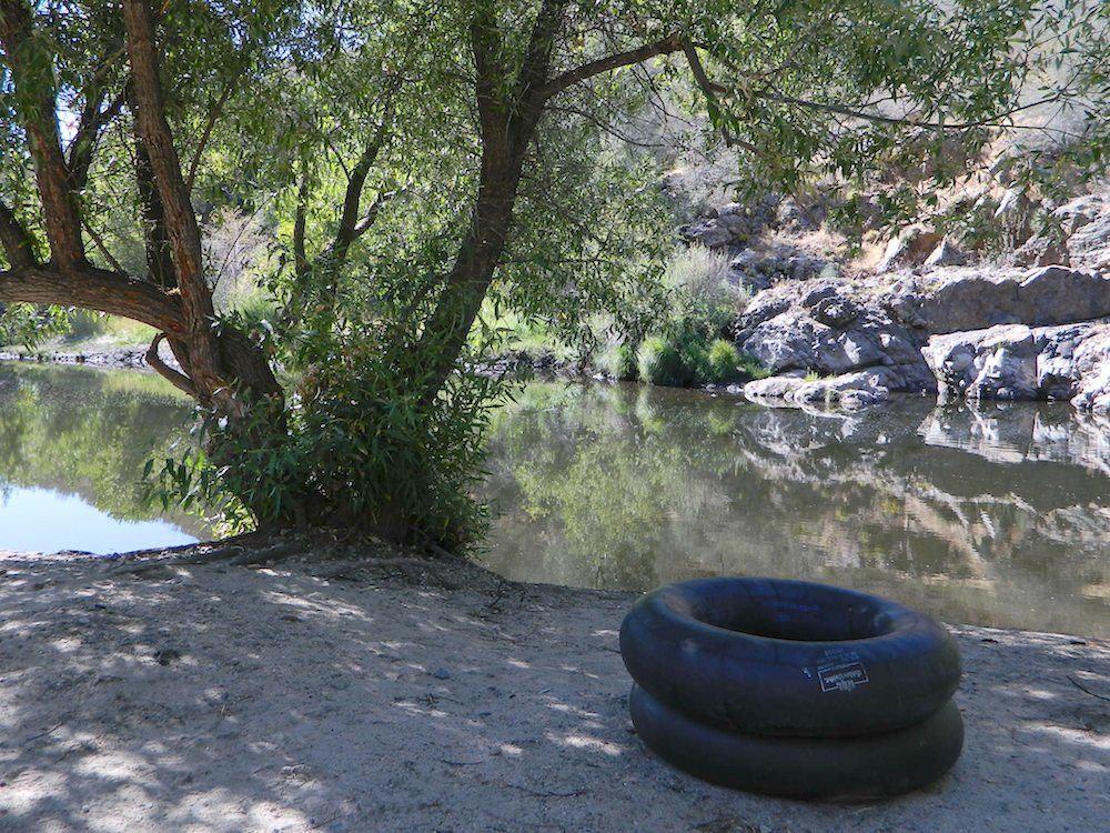
kern tube beaches

nearby towns:

Kern back road destinations:

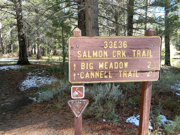
33E36trailhead

rinconcamp

Rincon Camp @ Sherman Pass Road
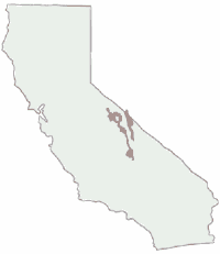
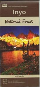
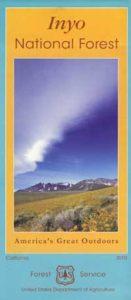
Inyo National Forest Map

Inyo Map

Inyo National Forest Map

Eastern Sierra Map, Inyo Map, Mt Whitney, Bishop Wilderness
NFS – USDA – U.S. Forest Service

USDA maps created for the National Forest Service. GPS: Longitude & Latitude; Rivers, Creeks, Peaks, Elevations, 4WD & every dirt BackRoad, Hot Springs, Equestrian Areas, all Campgrounds, Hiking Trails & Backpacking Trailheads.NFS

Areas include: Eastern Sierra, Range of Light, Owens Valley, Hwy. 395, Bishop, Lone Pine, Lee Vining, Independence, Mammoth, June Lake, East Yosemite, Mount Whitney, Mono Basin, White Mtns, Ancient Bristlecone Pine Forest, Monache Mdws, Golden Trout Wilderness, Cottonwood Lakes, Sierra Lakes, Mono Lake, John Muir Trail & JM Wilderness, Ansel Adams Wilderness, Lake Crowley, Hot Springs, Rock Creek, Inyo Mtns, Kennedy Mdws, South Sierra Wilderness.

inyoinyoNF

inyo2002

older version

INYO_mountains

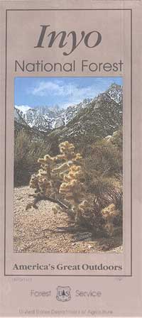
paper map from 1993


gull_lake

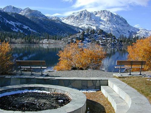
Gull Lake, next to June Lake in the Eastern Sierra

giganta
Eastern Sierra California
Inyo National Forest

Wilderness Areas in Eastern California:

White Mountains
Ancient Bristlecone Pines
John Muir Wilderness
Ansel Adams Wilderness
Hoover Wilderness
Yosemite EAST Wilderness
Fish Slough, N Bishop, CA
Piper Mountain Wildernesshiker
Kings Canyon High Country
Golden Trout Wilderness
South Sierra Wilderness
Inyo Mountains Wilderness

Inyo Hiking, off road, 4×4, Eastern Sierra, Mount Whitney, John Muir, Ansel Adams, Sierra Lakes, Inyo National Forest Topo Maps, Topographical Inyo Map, Eastern Sierra, Olancha Peak, Lone Pine, Alabama Hills, Whitney, Mammoth, June Lake, Rock Creek, Lee Vining, Bishop, Baker Creek, Sabrina, Palisades Glacier, Onion Valley, Independence, Coyote Flat, High Sierra Lakes, Eastern California

walkerlake

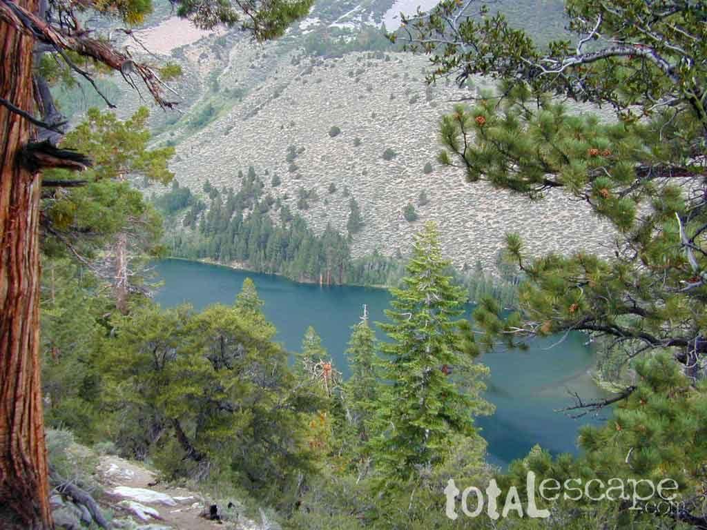
Hike-in only, Walker Lake @ June Lake Loop

see also –Inyo Forest Topo Atlas
inyotopoatlaa

find more Eastern Sierra maps:

Ansel Adams Wilderness Maps
Bishop Pass Map
Bodie Ghost Town Map
Death Valley Park Maps
Devil’s Postpile Map
Dome Land Wilderness Map
Golden Trout Wilderness Maps
Hoover Wilderness Map
Jawbone Canyon OHV Map
JMT – John Muir Trail Map
Kern River Maps
Kings Canyon Highcountry Map
Mammoth High Country Map
Mono Divide Topo Map
Mono Lake Map
Mount Whitney Maps
NatGeo Mammoth Map #809
Palisades Trail Map
Toiyabe National Forest Map

Pacific Crest Trail Mapspct
PCT Map #3 South Sierra
PCT Map #4 Mid Sierra

EASTERN SIERRA LINKS:

Campgrounds Eastern Sierra
Camping Inyo
Eastern Sierra Hiking
Eastern Sierra Lakes
Inyo Forest Roads
June Lake Loop #1S63
Lundy Lake
Mammoth Fishing
Mono Lake, California
Onion Valley
Rock Creek Road
Silver Lake @ June
Walker Creek Olancha
Walker Lake Hike

lupineway

Lupine Way – Coyote Flat, W of Bishop, CA

NEARBY TOWNS:

highsierra SUV

The High Sierra @ 10,000′ elevation, by SUV

avenzabar

digital maps for download

BLM Map – Alabama Hills Recreation Area (free)
Mammoth Mountain Topographic Map
NatGeo Map 809 – Mammoth Lakes, Mono Divide
Convict Lake Topographic Map
CTUC Inyo National Forest (north) OHV Map
CTUC Inyo NF (south) OHV Map
Inyo MVUM – Monache Mdws, South Fork Kern River (free)
Inyo MVUM – Inyo Mountains Map (free)
Inyo MVUM – Bald Mountain Mono (free)
Inyo MVUM – White Mountains Map (free)
Inyo MVUM – Glass Mountain Map (free)

inyohighroads

Upper Baker Creek Road, 4×4 Camping

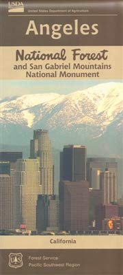
Angeles National Forest Map

Angeles National Forest Map

Angeles National Forest Map

USDA angeles NF

hikers mapNFS – USDA – U.S. Forest Service

Angeles Crest Highway 2 / San Gabriel Mountains
Angeles Forest / San Gabriel National Monument

Angeles National Forest
USGS map California: Angeles Map. San Gabriel Mountains, Mount Wilson, Castaic, Angeles Crest, Chilao, Buckhorn, Crystal Lake, Wrightwood
Angeles National Forest Map
Angeles National Forest Map: WATERPROOF MAP plastic & tear resistant. Ranger Map – NFS issued map. GPS: Longitude & Latitude; Rivers, Creeks, Peaks, Elevations, 4WD & every dirt BackRoad, Hot Springs, Equestrian Areas, all Campgrounds, Hiking Trails & BackPacking Trailheads. Areas include: Chilao, San Gabriel Wilderness, Cucamonga Wilderness, Sheep Mountain, Lake Castaic, Mount Wilson, Castaic, Angeles Crest, Crystal Lake, Jackson Lake, Upper Big Tujunga, Little Tujunga, Mount Gleason, Mount Pacifico, Kratka, Cloudburst Summit, Lytle Creek, Chantry Flat, Bandito.

Quality USDA maps created for the National Forest Service. Size: 27″x 44″ overall / 4″x9″ folded; Printed on plastic in 2016. ISBN# 9781628114225

Angeles National Forest Map

OLDER VERSION

  • backpacking
  • campingsnow
  • hiking
  • mountain biking
  • picnicking
  • snow sledding
Angeles National Forest Map

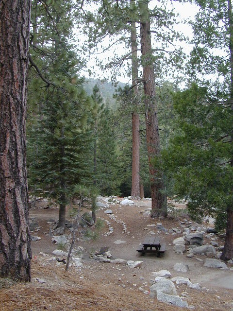
Buckhorn Campground, on Angeles Crest Hwy

Angeles National Forest is registered as California Historical Landmark #717, for being the first National Forest in the state.

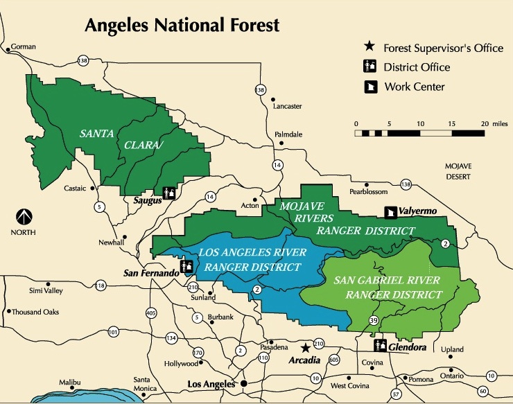
The Angeles National Forest covers a total of 700,176 acres, protecting large areas of the San Gabriel Mountains and Sierra Pelona Mountains. It is located just north of the densely inhabited metropolitan area of Greater Los Angeles.

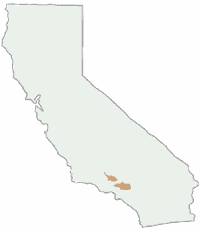
While primarily within Los Angeles County, a small part extends eastward into southwestern San Bernardino County, in the Mount San Antonio (Mount Baldy) area, and a tiny section also extends westward into northeastern Ventura County, in the Lake Piru area.

The San Gabriel Mountains National Monument, established in 2014 and managed by the U.S. Forest Service, is largely within the Angeles National Forest.

The Angeles National Forest manages the habitats, flora and fauna ecosystems, and watersheds. Some of the rivers with watersheds within its boundaries provide valuable non-groundwater recharge water for Southern California. The existing protected and restored native vegetation absorb and slow surface runoff of rainwater to minimize severe floods and landslides in adjacent communities.

The land within the forest is diverse, both in appearance and terrain. Elevations range from 1,200′ to 10,064′. The Pacific Crest Trail crosses the forest.

see all Angeles Maps

see also –camp map
NatGeo Angeles Map #811
AngelesĀ Forest Topo Atlas
San Gabriel Mountains Map
Mount Baldy Map
Mount Wilson Map
Cucamonga Wilderness MapĀ 

Angeles National Forest Map

Wrightwood is located on the southern end of Angeles Crest Highway 2

California Benchmark Atlas

Benchmark California Map

California Benchmark Atlas

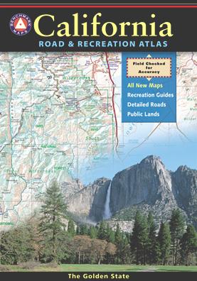
The best selling state atlas for the golden state – The California Road and Recreation Atlas

Benchmark California Atlas
California Driving Map. Topographic features, back roads map.

Best Overall Map: California Road & Recreation Atlas. This map books is the ideal state-wide map for any outdoor enthusiast. Excellent for exploring all of the golden state from the deserts of Southern California to the rivers of Northern California.

The Benchmark CA Atlas highlights include – all lakes, trailheads, Wilderness Areas, Campgrounds, National Forests, State Parks, National Parks, outdoor recreation destinations, plus extensive back roads (dirt & paved). This full color beauty is one of the most successful California map products of our time!

Recent editions have improvements: ground-cover detail at a very high-resolution.(forested, cultivated, marshland, desert, or scrub land). Extensively revised the 14-page Metro Map section; Complete Recreation Guide, page-to-page overlap and legendary accuracy. Printed on paper. 11th edition (2021) ISBN# 9781734315035

avenzabar

download this atlas w/ Avenza Maps

driftwood

California Benchmark Atlas


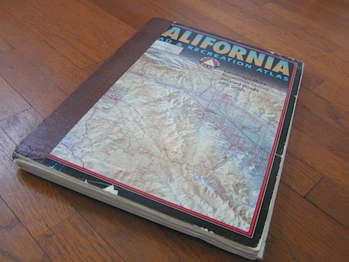
However, featured above is the current edition being sold but DanaMite actually prefers the look of the less-digitized version – the popular 2nd edition (printed in 2000), shown below. Easier to read maps, less text, less information overall, less busy looking.

California Benchmark Atlas

California Benchmark Atlas

Well Used, Well Loved. 2000, Second Edition

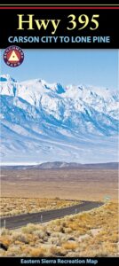
US 395 map

Benchmark US Hwy 395 Map

camp maps

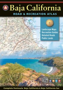
Baja California Atlas
by Benchmark Maps

baja benchmark atlas

see also –
Benchmark Atlases for other states

Timber Trail Route

Timber Trail Route, Los Padres NF