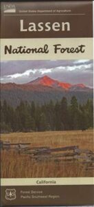
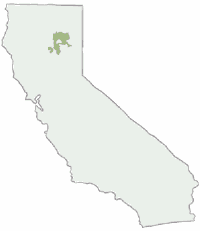
 Lassen National Forest Map includes all of Lassen Volcanic National Park too.
NFS – USDA – U.S. Forest Service – USGS
Lassen National Forest
Lassen National Park
Lassen Camping
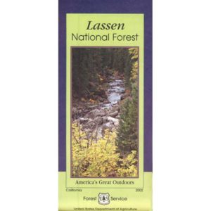
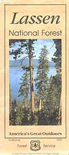
Lassen National Forest Map: Lassen National Forest surrounds Lassen Volcanic National Park. Quality USDA maps, National Forest Service. Lassen National Park, Lake Almanor, Susanville, Fall River Mills, Burney Falls, Juniper Lake, Drakesbad Ranch, Bucks Lake Wilderness Ranger Map – NFS issued map. GPS: Longitude & Latitude; Rivers, Creeks, Peaks, Elevations, 4WD and every dirt BackRoad, Hot Springs, Equestrian Areas, all Campgrounds, Hiking Trails and BackPacking Trailheads.
Areas include: Northern California, Butte County, Tehama County, Shasta County, Plumas County, Lassen County, Burney, Ahjumawi Lava Springs State Park, Thousand Lakes Wilderness, Manzanita Lake, Mineral, Shingletown, Ponderosa Sky Ranch, Hwy. 89, Hwy. 36, Lassen Volcanic Peak, Stover Mountain, as well as the Feather River.

PREVIOUS VERSION
OLDER VERSION
REALLY OLD EDITION
Many graded dirt roads lead out to trailheads, secluded lakes, hidden campsites.
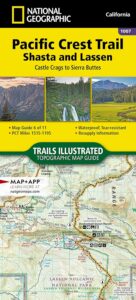
As of 2019, National Geographic also makes a waterproof map for the Lassen Peak region. Over 150 miles of trails including 17 miles of the Pacific Crest Trail and a portion of the California National Historic Trail are clearly marked and include approximate mileage between intersections and trail use designations. A chart of campgrounds, their elevations, the number of sites, and the facilities available at each will help you choose the one that’s right for you.
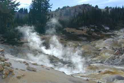
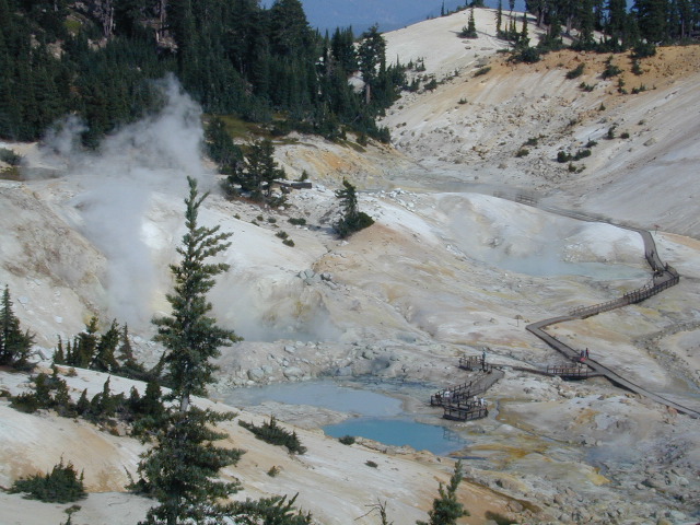
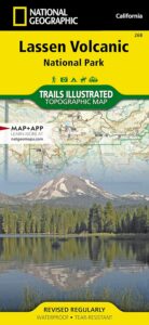 NATGEO MAP: Interpretive information regarding the area’s unique geology and descriptions of the important hydrothermal areas are also included. The map base shows contour lines and elevations for summits, passes and many lakes. A variety of recreation features are noted as well, including campgrounds, trailheads, picnic areas, boat launches, cabins, and scenic viewpoints.
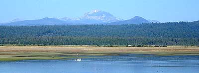
Lassen Peak from Lake Almanor
Mount Lassen Area Digital Maps

apps/maps:
download digital topos & maps
California Deer Hunting Zone C4 Map
California Deer Hunting Zone X4 Map
California Deer Hunting Zone X5b Map
Chester California Topo Map USGS (free)
Childs Meadows Topo Map USGS (free)
Fredonyer Pass Topo Map USGS (free)
Hat Creek Headwaters Trail Map (free)
Lassen National Forest Visitor Map USFS
Lassen Volcanic National Park NPS Map (free)
Lassen MVUM – OHV Map 1b (free)
Lassen MVUM – OHV Map 2b (free)
Lassen MVUM – OHV Map 3a (free)
Lassen MVUM – OHV Map 3b (free)
Lassen Peak Topo Map USGS (free)
Lassen Peak Trail Topo Map (free)
Nat Geo 268 – Lassen Volcanic National Park Map
Susanville Ranch Park Trail Map (free)
Susanville Topographic Map USGS (free)
Westwood East, USGS Topo Map (free)
Westwood West, USGS Topo Map (free)
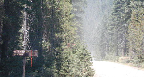
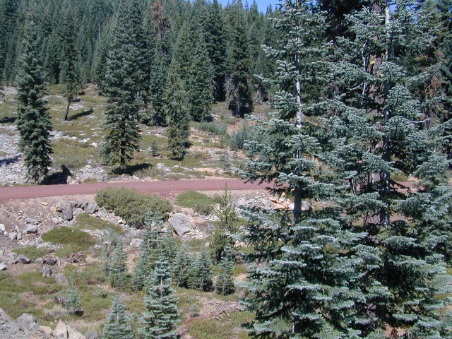
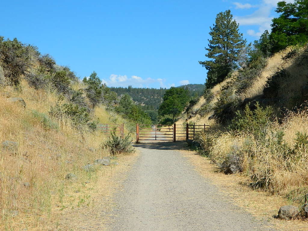
Graded Dirt Roads
Lassen National Forest
Bizz Johnson Trail, Susanville
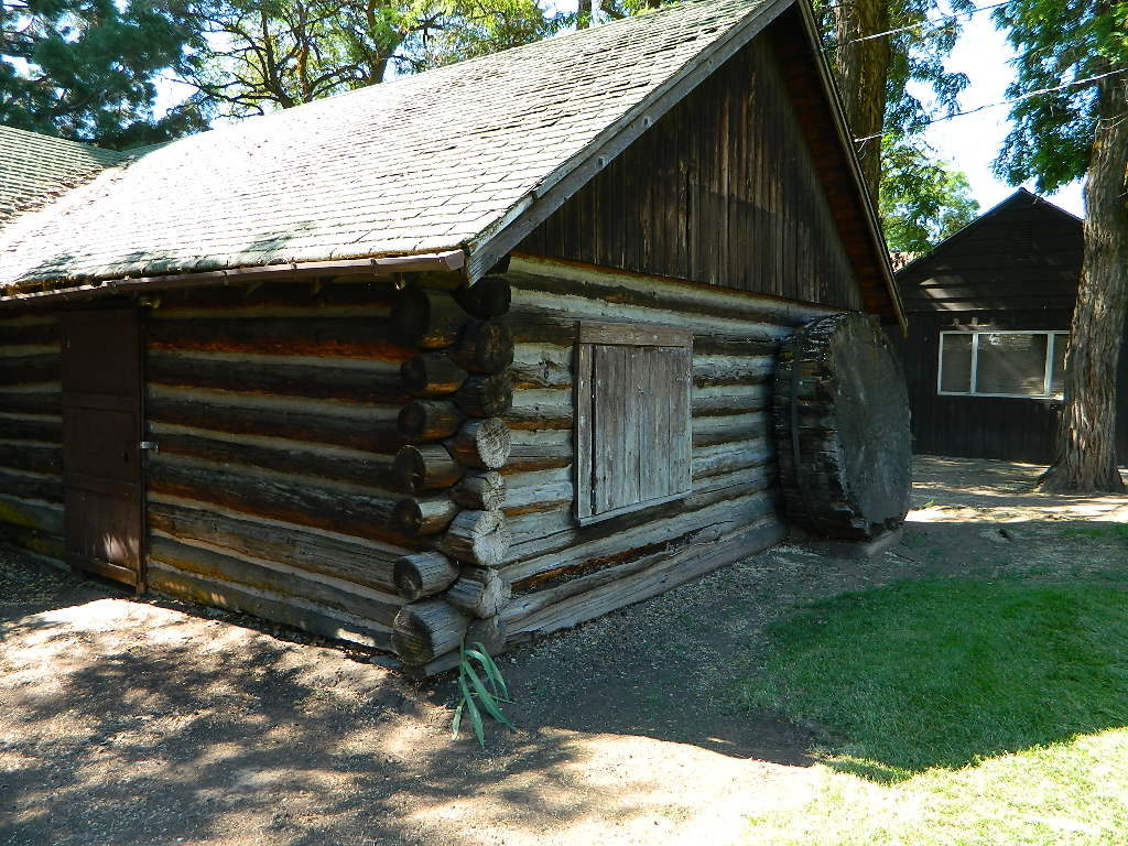
Historic Log Home: Downtown Susanville, CA

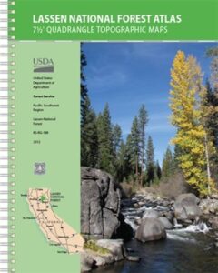
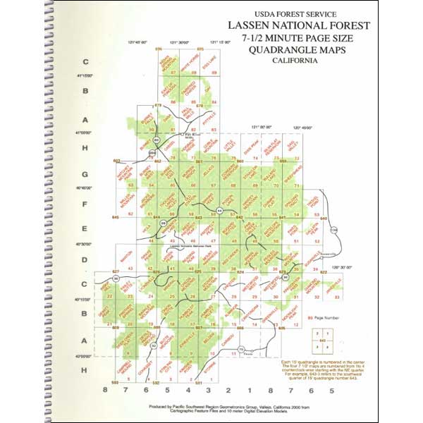
Seeking a detailed topographic maps of every square mile of Lassen territory? Then the Lassen Forest Topo Atlas is a book to discover.
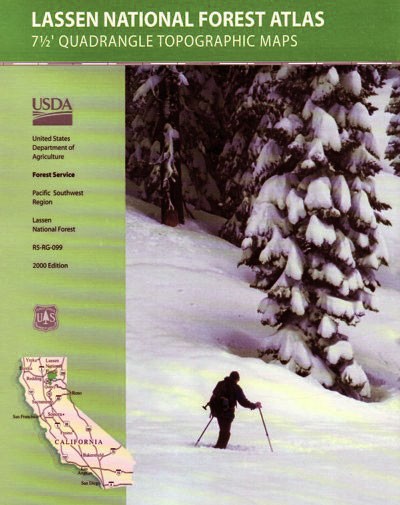
Lassen Topographic Atlas

Eagle Lake, N of Susanville
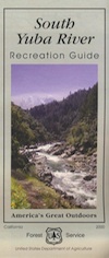 North Sierra, Gold Country Rivers
 Yuba fishing / Yuba River camping / Yuba fly fishing / Yuba campground
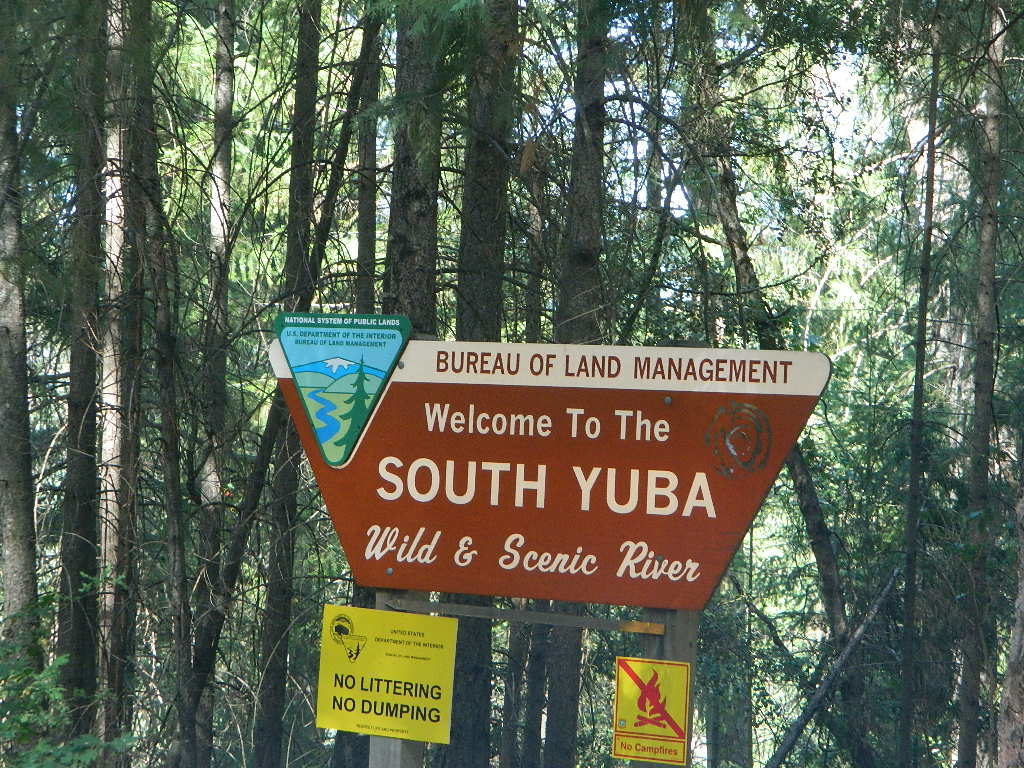


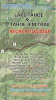
 There are 10 official trailheads that access the eight trail segments which form a continuous loop in the mountains above the lake. The segments range from 12.2 to 32.5 miles in length. Unofficial entry points also provide a means of getting onto the trails. Trail conditions are best during the usually snow-free months of July through October, and the height of the wildflower bloom is usually July and August.
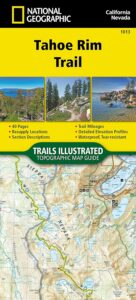
