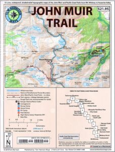
JMT: John Muir Trail Map

 The John Muir Trail is a long-distance hiking trail in the Sierra Nevada mountain range of California, passing through Yosemite, Kings Canyon and Sequoia National Parks.
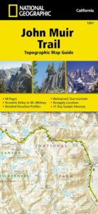
USDA makes paper maps for John Muir Wilderness w/ Kings Canyon, and Tom Harrison offers the waterproof John Muir Map Pack. National Geographic also makes a topo map for the John Muir Trail.
![]()
John Muir Maps USDA
John Muir Wilderness with Sequoia Kings Canyon Wilderness
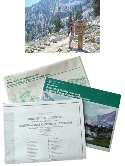
U.S. Forest Service – NFS. Old school maps – two large paper sheets. Available at Inyo National Forest Ranger Stations, USGS website or the Eastern Sierra Interagency Visitors Center on US Highway 395.
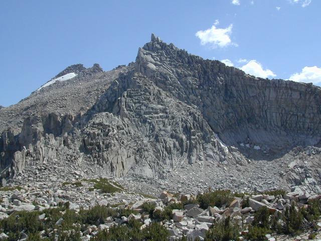
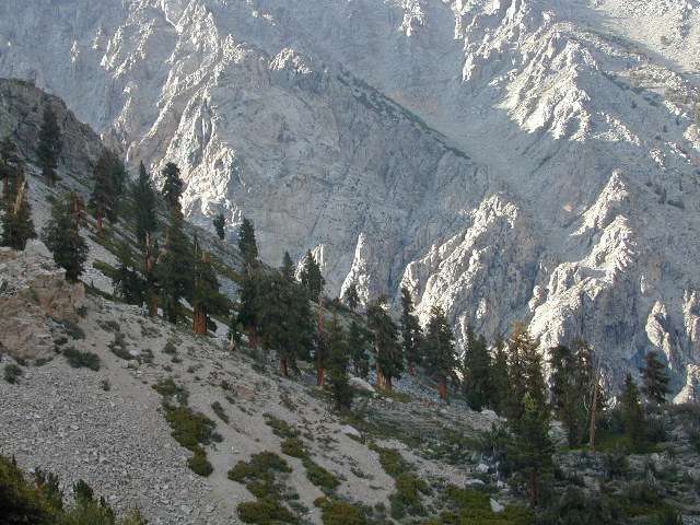
Eastern Sierra Mountains
Highest Sierra Peaks
Perfect for a day hike reference or extended backpacking adventures. Map Scale = 1″ to mile; Printed on paper w/ large storage envelope. Limited availability.
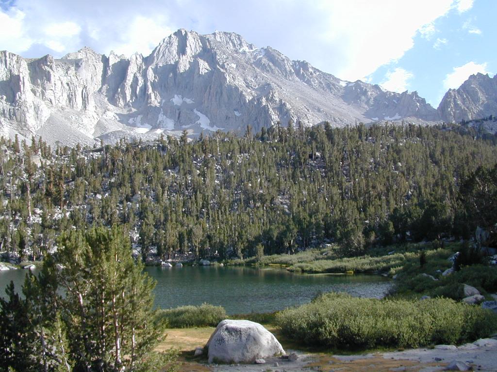
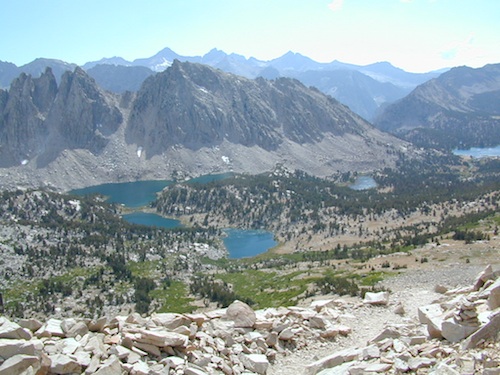
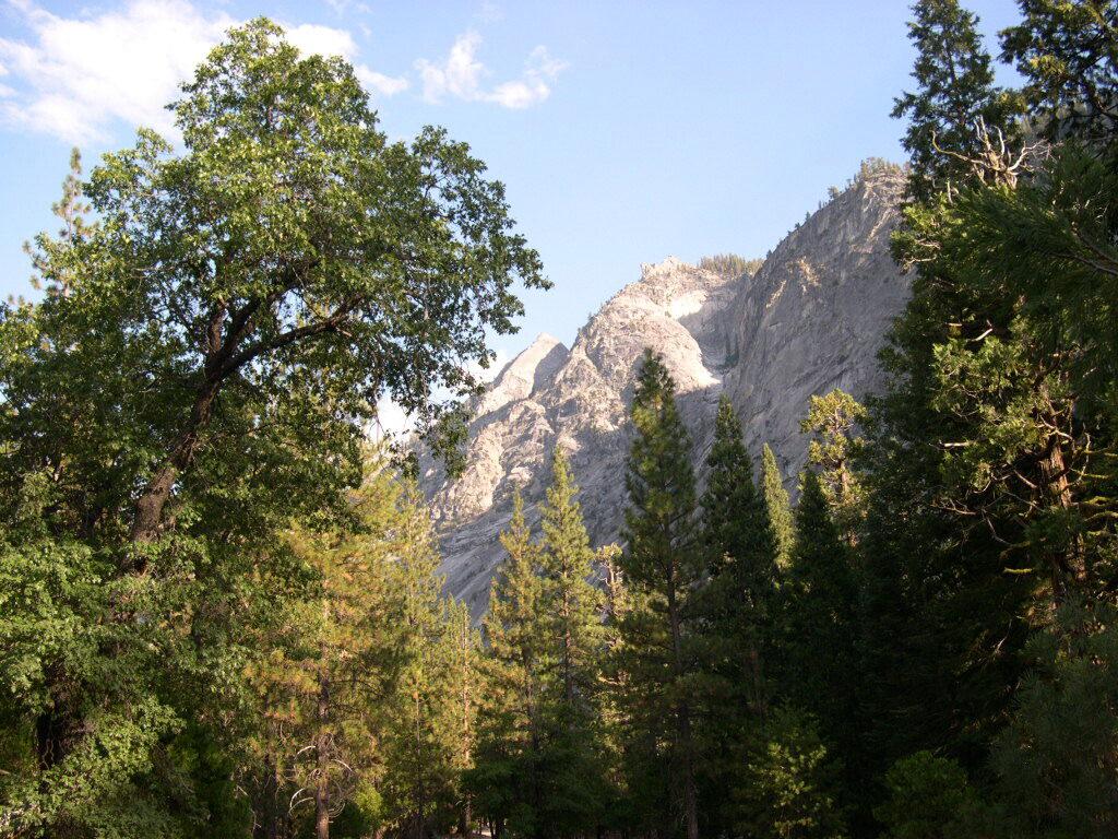
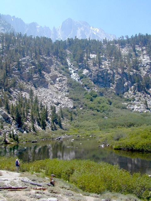
Gilbert Lake, above Onion Valley, Eastern Sierra Independence, CA

![]()
John Muir Wilderness Map Set
Tom Harrison Maps
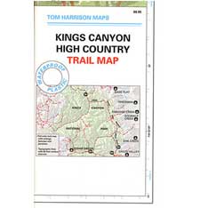
John Muir Trail Maps by Tom Harrison, High Sierra Backpacking Maps, Highcountry Trail Map. Eastern Sierra Mountains inside Inyo National Forest
Mount Whitney, Lone Pine, Independence, Big Pine, Bishop, Mammoth Lakes – Eastern California.
John Muir Wilderness Map Set of 13 individual maps. Durable, waterproof plastic map; Smaller maps, not folded. Map Scale: 63K; ISBN# 9781877689345
download digital versions of this map – ![]()
John Muir Trail Topo Map Set
or the most popular individual maps :
John Muir Trail Map #4
John Muir Trail Map #5
John Muir Trail Map #6
John Muir Trail Map #7
John Muir Trail Map #8
John Muir Trail Map #9
John Muir Trail Map #10
John Muir Trail Map #11
John Muir Trail Map #15

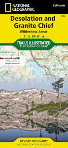
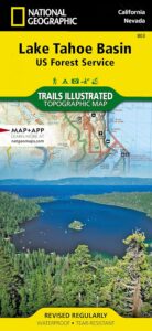
National Geographic makes a decent John Muir Trail Map too!
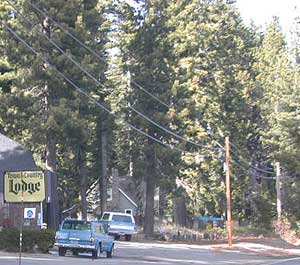
nearby towns:
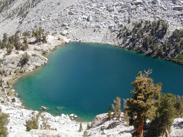
Little Pot Hole Lake, Kearsarge Pass Hike
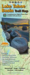
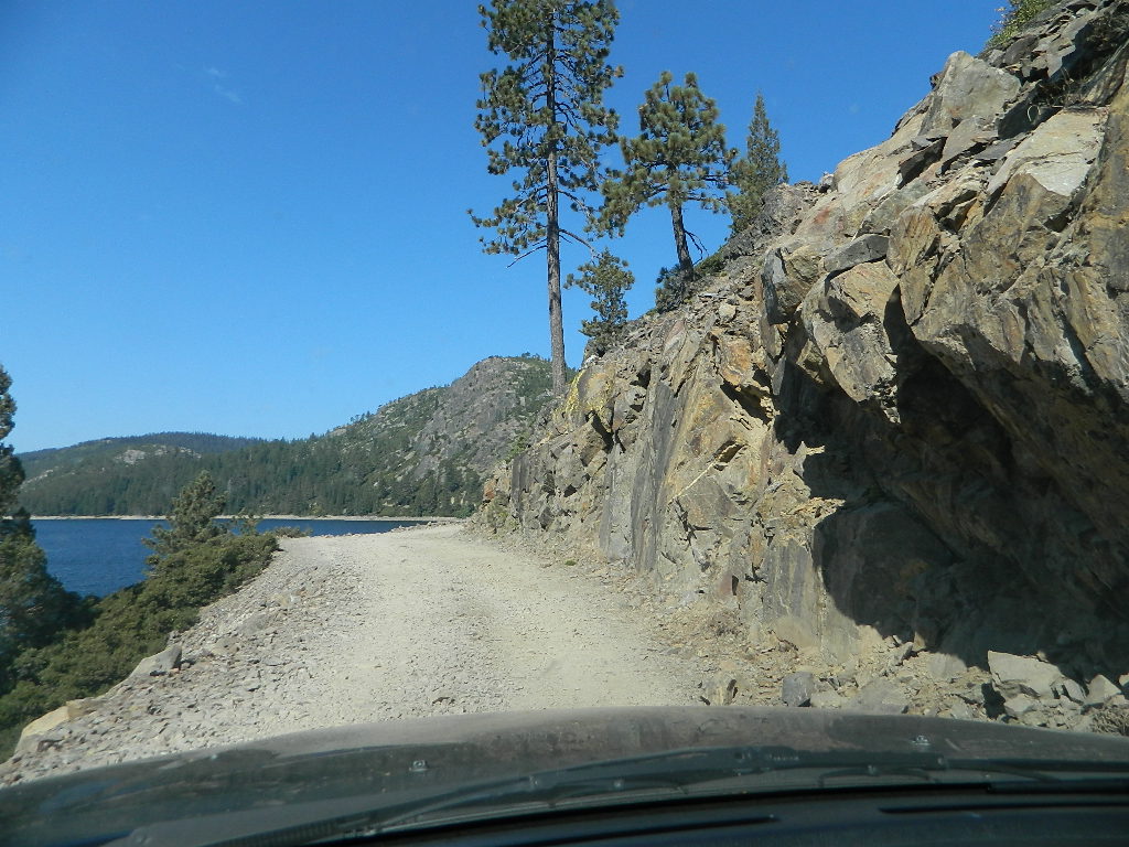
 4×4 Tahoe Trail Maps: Explore the 4WD (four wheel drive) dirt and gravel roads inside the Lake Tahoe region. Please follow the links listed at the bottom of this page for more Tahoe Maps.

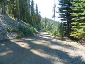
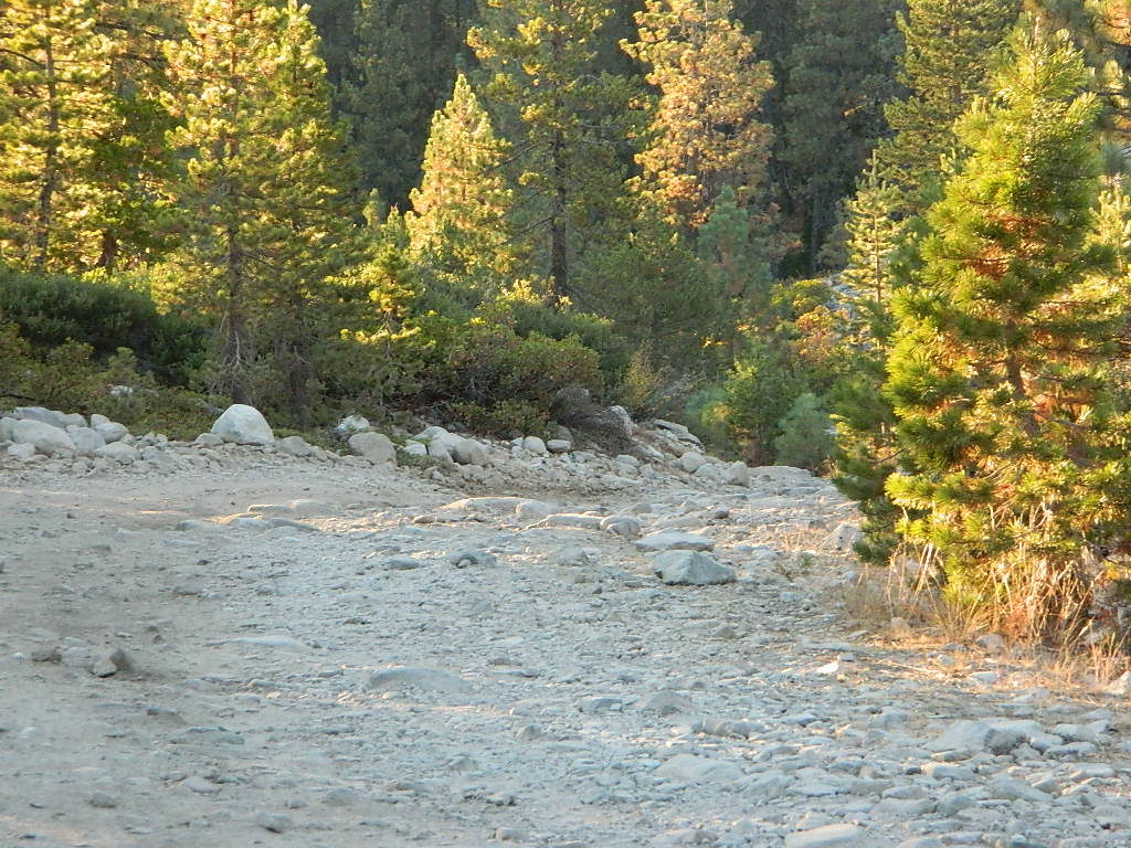
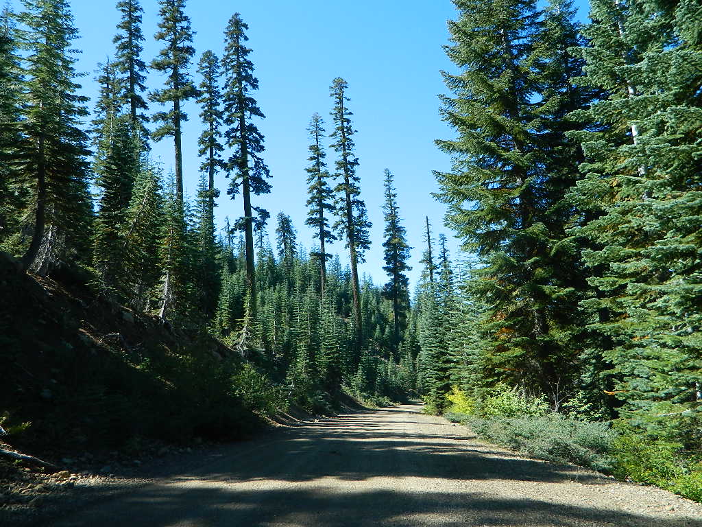

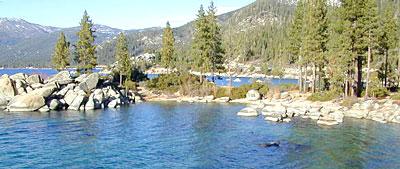
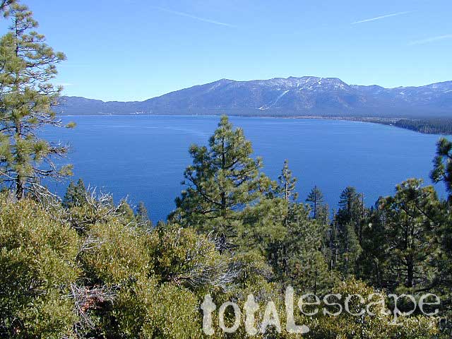
 Many believe that Lake Tahoe was formed by the collapse of an ancient volcanic crater, but the natural lake and mountain basin was actually formed by the rise and fall of the landscape due to faulting.