California Central Coast:
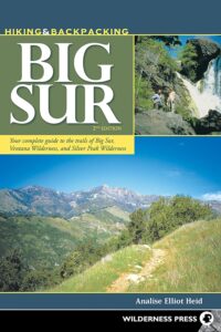
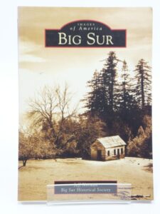
Big Sur
Find Maps on Big Sur, California:
Big Sur Books
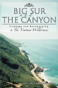
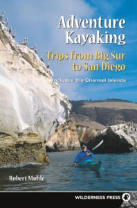
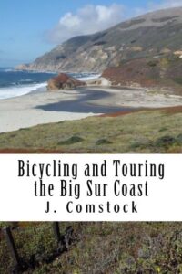
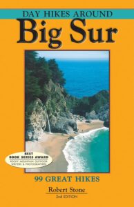
Books on the Big Sur Coast & Mountains

Find Maps on Big Sur, California:
Books on the Big Sur Coast & Mountains
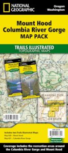
On the border between Oregon and Washington state, this huge river gorge is a recreation paradise. Fishing, camping, kayaking, wind surfing, hiking and much more.
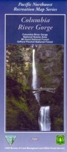
Columbia River Camping, Oregon Hikes, Columbia River Gorge Campgrounds
Recreation Map Oregon Washington. Topographic Map. Pacific Northwest Recreation, Outside in Oregon, Columbia River National Scenic Area, Maps, Mount Hood National Forest, Gifford Pinchot National Forest
On the borders of southern Washington state and the north boundary of Oregon lies the Columbia River Gorge, which cuts through the Cascade Mountain Range, and is the deepest, spectacular river canyon on the entire west coast. 80 miles long and 4,000′ deep. Bird watching, boating, camping, fishing, hiking, mountain biking, picnicking, rock climbing, windsurfing, wildflowers. Waterfalls in Oregon. Multnomah Falls is the second highest in the United States.
Map Scale: 1 inch = 1 mile; BLM & USDA. Printed in 2007 on waterproof plastic. This map can also be found at USFS Ranger Stations.
![]()
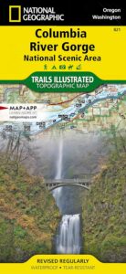
National Geographic has a full color map for this region
Northern Sierra Nevada Mountains, Feather Rivers, Quincy, Blairsden, Bucks Lake, Dixie Mountain, Lake Davis
(see wildfire notes below)
GPS: Longitude & Latitude; Rivers, Creeks, Peaks, Elevations, 4WD & every dirt BackRoad, Hot Springs, Equestrian Areas, all Campgrounds, Hiking Trails & BackPacking Trailheads.
Areas include: Northern Sierra, Quincy, Blairsden, Buck’s Lake Wilderness, Dixie Mountain State Game Refuge, Mount Hough, Lake Almanor, Lake Davis, Lakes Basin Recreational Area, Little Grass Valley Reservoir, New Bullards Bar Reservoir, Sly Creek Reservoir, Lake Oroville, Gold Lake, Butte Valley Reservoir, Antelope Lake, Snake Lake, Round Valley, Feather River. ISBN# 9781628114348
Map Size: 36″x 48″ overall / 4″x9″ folded; Printed on waterproof plastic in 2019
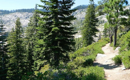
Ridge Trail to Mini Gold Lake, Buck Lake Wilderness
Northern Sierra Nevada / NorCal’s Volcanic Red Mountains
Plumas National Forest

2022 UPDATE: Most of this National Forest has been devastated by recent wildfires. Much of the forest in between Bucks Lake and Oroville is now totally toast. That’s a whopping 50 mile stretch, hence 318,935 acres. Expect campground closures, damaged trails and heavy logging activity. Charred forests also exist all the way around Indian Valley and Lake Almanor, and along Highway 70, east of Quincy, CA
PCT – Pacific Crest Trail is burnt from Bucks Lake to Lassen!
Wild & Scenic Middle Feather River is burnt 40+ miles, from the town of Quincy to Lake Oroville.
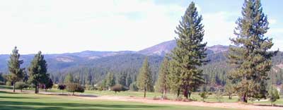
Graeagle Golf, East of Quincy, CA
 around Plumas National Forest:
Antelope Lake
Antelope Valley Wildlife Area
Big Bald Rock
Bucks Lake Wilderness
Butterfly Valley
Crocker Meadows Wildlife Area
Dixie Mountain
Dome Trail @ Middle Feather
Feather River
Middle Fork Feather River Map
Frenchman Reservoir
Lake Davis
Lakes Basin Recreation Area
Little Grass Valley Reservoir
Mount Hough State Game Refuge
Sly Creek Reservoir
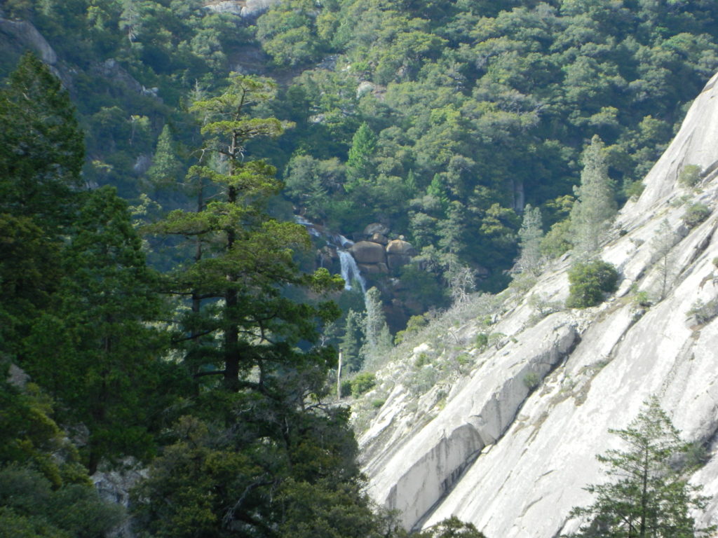
Curtain Falls, from Dome Trail Hike
Warning: Neither one of these photos look like this anymore. The Bear Fire wildfire ravaged this canyon of the Middle Fork of the Feather River in 2020.
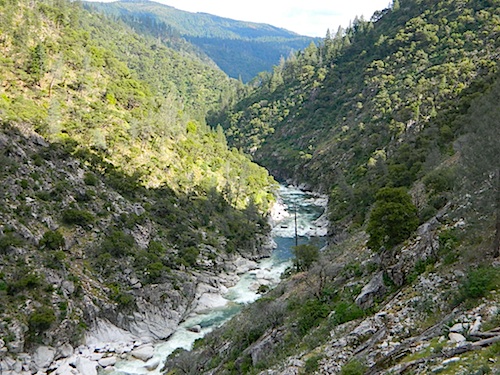
Scenic Middle Fork of Feather River, near Berry Creek, CA
nearby towns:
Plumas, National Forest, Map, Fishing, Hiking, Northern Sierra, Quincy, Snake Lake, Blairsden, Buck’s Lake Wilderness, Dixie Mountain, Mount Hough, Lake Davis, Lake Almanor, Gold Lake California, Lakes Basin Recreation Area, Plumas Eureka State Park, Feather River Fishing, Plumas Forest Camping
see also – Plumas Forest Topo Atlas
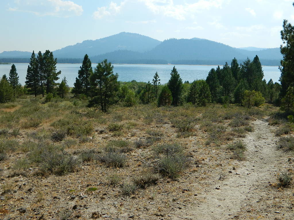
Lake Davis, California
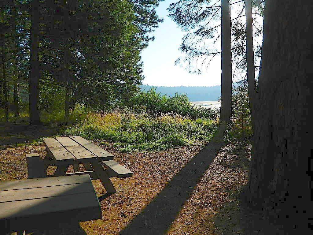
Snake Lake Camping, W of Quincy, CA
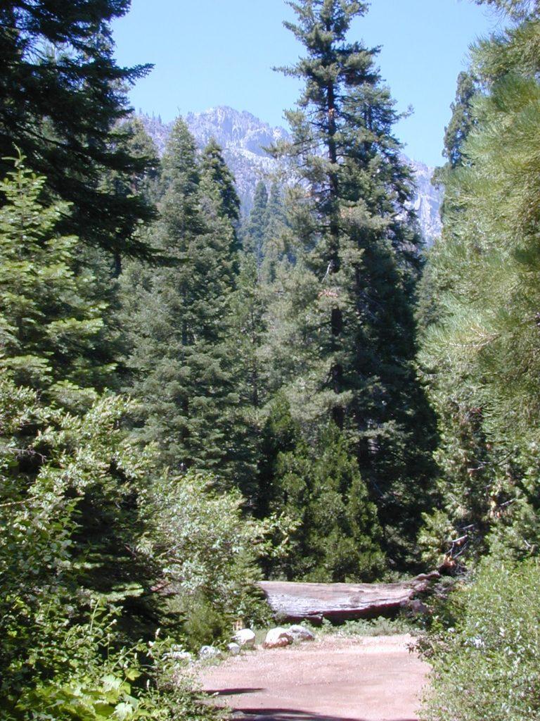
Golden Trout as seen from Mountain Home SF (2010)
Golden Trout / South Sierra Map
Golden Trout Wilderness USDA
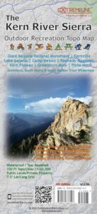
Kern River Gorge
South fork of Kern River
Upper Kern River
Backcountry Sequoia
California
![]()
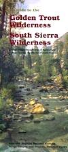
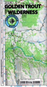
Golden Trout Wilderness Map
US Forest Service USGS
Official Trail Map for the U.S. National Forest Service. Map scale 1:63,360. Contour lines at 80 foot intervals show elevation. Detailed road network shown. Encompassing 475 square miles in the Sequoia and Inyo National Forests. Map Scale = 1″ to mile; Usually only found at Ranger Stations. MAY BE DISCONTINUED. Printed on paper in 1995.
Golden Trout Wilderness Trail Map, Sequoia National Forest, South Sierra Backpacking Maps, Forks of the Kern River Map, Jerky Meadow Trailhead, Big Whitney Meadow, Kern Peak, Coyote Peaks, Grey Meadow, Little Kern River, Kern Canyon, Jordan Hot Springs, Casa Vieja Meadow, Monache Meadows. Topo Sequoia Camping Kern River.

see also –
Golden Trout Wilderness Trail Map
Dome Land Wilderness Map
South Sierra Wilderness Map
Kern River Maps
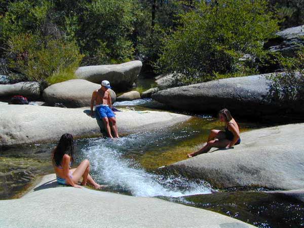
Creek dipping at Camp 4, Sequoia NF
JERKY MEADOW trailhead Forks of the Kern, located at the end of Sequoia forest road #22S82 also has numerous primitive camp sites located near the Kern Gorge. A moderate day hike will lead to waterfalls, swimming holes and granite bowls like these. Steep trails lead further down to the river 1000′ below. Forks of the Kern, Upper Kern River, Kern Hot Springs, Golden Trout Kern, Golden Trout Wilderness Area, South Sierra, Kern River Fishing, Camping, Backpacking Jerky Trailhead. Kennedy Meadows, California.