4×4 Guide Tahoe NF

4×4 Tahoe Trail Maps
Off Roading Routes

4x4 maps4×4 Tahoe Trail Maps: Explore the 4WD (four wheel drive) dirt and gravel roads inside the Lake Tahoe region. Please follow the links listed at the bottom of this page for more Tahoe Maps.

Camping Lake Map

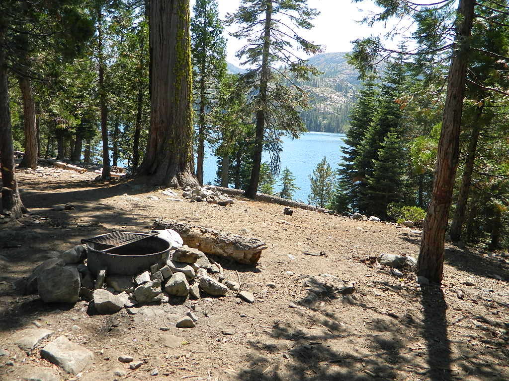
Sawmill Lake, Tahoe NF – N of Donner Pass I-80


4Wheeler’s Guide to Trails of the Tahoe National Forest, CA; Lake Tahoe to the North Yuba River

4Wheeler’s Guide to the Rubicon Trail

2024: BOTH THESE MAPS ABOVE NOW OUTTA PRINT

driftwood

California off roading with 4×4 Tahoe Trail Maps. Topographical hard copy maps show contour lines, routes, trailheads, campgrounds, alpine lakes, mountain peaks, wilderness boundaries.  Maps for use by nomad campers, mountain bikers, dirt bikers, jeeps, SUVs, ATVs, and all off roading rigs. Overland camping options in the high elevation Sierra Nevada mountains.

see also –dirt bikes trail map

Lake Tahoe Basin Topo Atlas

Tahoe National Forest Map USDA

Lake Tahoe Basin – Recreation @ Lake Tahoe

Tahoe Rim Trail Topo Map by Tom Harrison

USDA Lakes Basin, Sierra Buttes Map

bowman cliff shoreline

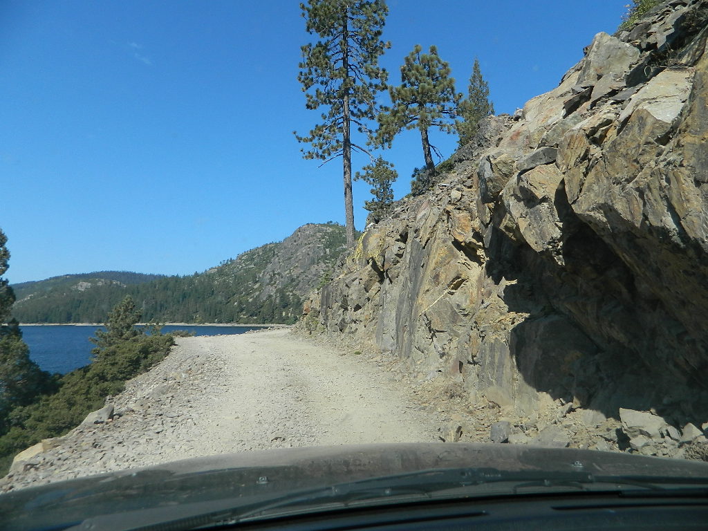
Bowman Lake, narrow cliff shoreline

Tahoe Forest Maps
by National Geographic

Tahoe East – Sierra Buttes & Donner Passfishing maps tahoe

Tahoe West – Yuba River & American River

sierra buttes maps

Back Roads @ N Yuba, Lakes Basin

Lakes Basin Recreation Area: Sierra Buttes
GOLD LAKE HWY. North Sierra Nevada – where granite spires touch the sky and river canyons run deep. Alpine lakes are covered in snow half the year w/ Gold Lake being the largest.

Totally worth a weekend visit! Spending a full week here is ideal. Summer destination for cabins, camping, hiking, fishing, waterfalls, and even off road routes; Winter offers snow recreation: cross country ski, snow shoe trails, and snow mobile access.
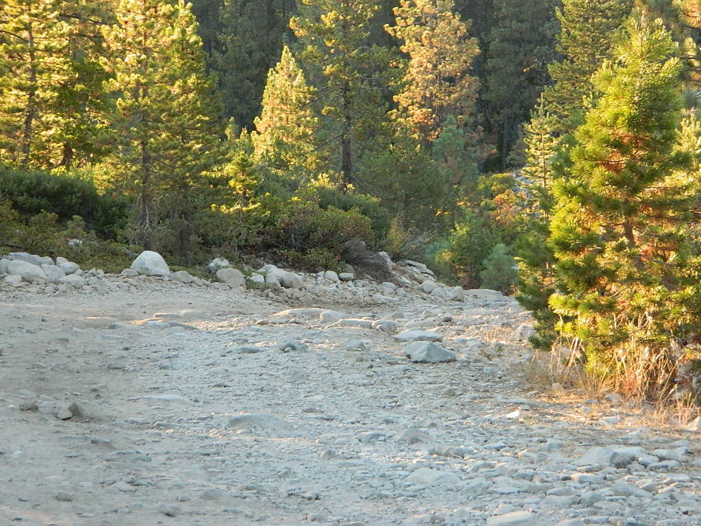
forest roads map tahoe

Tire Tools: roadside assistance
doesn’t do dirt roads

4x4 Patch Kit ARB

Desolation Maps

Desolation Wilderness Maps
Westside of Lake Tahoe

High Sierra Granite, Lakes Sierra Nevada California

Several maps and books cover this Sierra Wilderness Area located right next to Lake Tahoe, the premier alpine lake destinations on the West Coast. Granite Chief Wilderness and Desolation Wilderness featured on the same map from NatGeo.

Desolation Maps

Desolation Maps

Desolation Wilderness USDA Map

Desolation Map / Desolation Wilderness / Hikes Tahoe

Backpacking & Hiking Trail Map for Desolation Wilderness (Part of El Dorado NF) Waterproof Plastic Paper. Perfect for a day hike reference or extended backpacking adventures. Map Scale = 2″ to mile; ISBN# 9781593514402

Desolation Maps

Tom Harrison & Wilderness Press
publish Desolation Maps too

Desolation Maps

Desolation Wilderness Trail Map
Tom Harrison MapsDesolation Maps

Desolation Wilderness Map Trail Map, Tahoe Lake Camping. Lake Tahoe, CA; Tahoe Westside, Loon Lake camping, Lake Aloha, Emerald Bay, Fallen Leaf Lake, DL Bliss State Park, Echo Lake, Velma Lake, Wrights Lake, Rubicon River, Rubicon 4×4 Trail, Rockbound Valley, Tahoe Rim Trail hiking PCT Pacific Crest Trail; Sierra Nevada High Country Tahoe hiking; Durable, waterproof plastic map; Folded. Map Scale: 42.24K; ISBN# 9781877689611

Desolation Maps

see also –
Lake Tahoe Basin Maps
Tahoe Rim Trail Map
Tahoe Basin Topo Atlas

Desolation Maps

Desolation Books –

Trail Tools Desolation Maps (1996) by Dennis O’Neill

PCT Map #5 N Sierra

USDA PCT Map 5
PCT Map #5 Northern Sierra Nevada Mountains

Lake Tahoe to Lassen

hikers mapPacific Crest Trail National Scenic Trail
PCT – Hiking Map 5

Sierra Nevada’s Barker Pass at Lake Tahoe northward to Lassen National Park. Donner Pass, Lakes Basin Recreation Area, La Porte, Feather River, Bucks Lake Wilderness, Lassen NP, Highway 89 Old Station, Subway Cave, Hat Creek. USDA, Large fold out map, durable waterproof paper w/ sturdy cardboard cover. ISBN# 9781593514839

USDA PCT Map 5

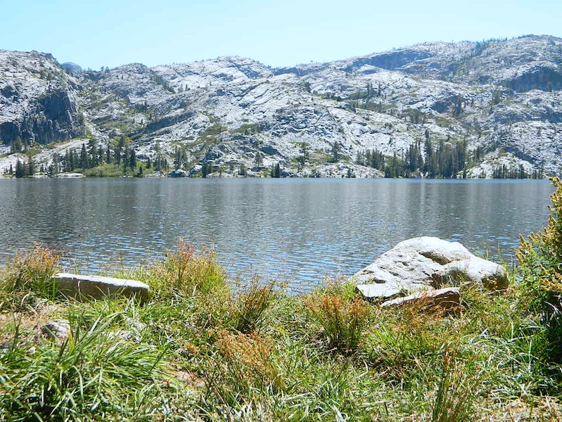
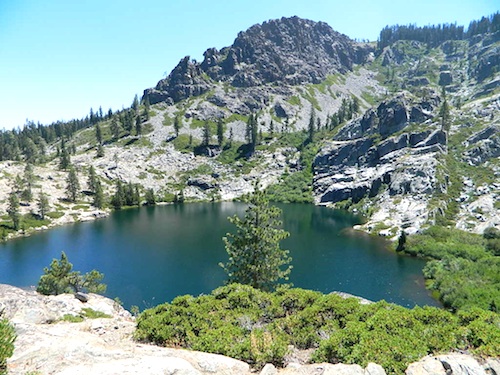
Faucherie Lake, N of Donner Pass

Lake Tahoe

Lake Tahoe is a large freshwater lake in the Sierra Nevada of the United States. Lying at 6,225 feet elevation above sea level, it straddles the state line between California and Nevada, west of Carson City. Lake Tahoe is the largest alpine lake in North America,  and it trails only the five Great Lakes as the largest by volume in the United States.

Its depth is 1,645 feet, making it the second deepest in the United States after Crater Lake in Oregon. The lake was formed about two million years ago as part of the Lake Tahoe Basin, and its modern extent was shaped during the ice ages. It is known for the clarity of its water and the panorama of surrounding mountains on all sides.

Lassen Peak

Mount Lassen, is the southernmost active volcano in the Cascade Range of the Western United States. Located in the Shasta Cascade region of Northern California, it is part of the Cascade Volcanic Arc, which stretches from southwestern British Columbia to northern California. Lassen Peak reaches an elevation of 10,457 feet, standing above the northern Sacramento Valley. It supports many flora and fauna among its diverse habitats, which are subject to frequent snowfall and reach high elevations.

Lassen Peak is the largest lava dome on Earth. The volcano arose from the former northern flank of now-eroded Mount Tehama about 27,000 years ago, from a series of eruptions over the course of a few years. The mountain has been significantly eroded by glaciers over the last 25,000 years, and is now covered in talus deposits.

camp map

see also –
Lake Tahoe Maps
Tahoe National Forest Map
Lakes Basin Recreation Map
Plumas National Forest Map
Bucks Lake Wilderness Map
Lassen National Forest Map

USDA PCT Map 5

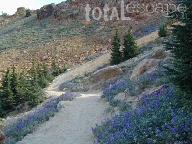
Lassen Peak Lupine Hikes

USDA PCT Map 5

Lil Gold Lake @ Bucks Lake Wilderness

PCT Map #4 Mid Sierra

USDA PCT Map 4
PCT Map #4 Central Sierra Nevada Mountains

Le Conte to Lake Tahoe

Pacific Crest Trail National Scenic Trail
PCT – Hiking Map 4

USDA PCT Map 4

ALPINE LAKES, everywhere!

Sierra Nevada Mountains, spanning from Le Conte Canyon to Barker Pass, on the west side of Lake Tahoe. Kings Canyon National Park northward to Lake Tahoe. Covers most of the High Sierra (N of Whitney) and so much more; from Bishop Pass, Mammoth Lakes, Yosemite National Park, Sonora Pass, Emigrant Wilderness, Ebbetts Pass, Carson Pass, and then overlook the massive mountain lake known as Tahoe. USDA, Large fold out map, durable waterproof paper w/ sturdy cardboard cover. ISBN# 9781593514716

USDA PCT Map 4
USDA PCT Map 4

LOCALS TIP: If you must hike only ONE SECTION of the PCT, then this one stretch, LE CONTE to LAKE TAHOE, is by far the best for high altitude beauty.  Granite peaks, passes, total alpine lake bliss, with incredible mountain scenery. When you must limit your big adventure trek, due to time constraints, this portion is some of the most beautiful high elevation terrain in the whole darn nation. Seriously. Better than a movie!

Services like grocery, laundromats, hotels, restaurants, post office, available in SLT (South Lake Tahoe). Postal, food & lodging can be had in numerous locations along certain high country routes – like Vermillion Resort @ Lake Edison. The PCT guide books give good descriptions of these handy trailheads with services, in way more detail.

USDA PCT Map 4

Yosemite Granite

see also –
Kearsarge Pass Trail Map
Kings Canyon Highcountry Map
Sequoia Kings NP Maps
Mono Divide Highcountry
Mammoth & Mono Map by NatGeo
Mono Lake Map
Yosemite Maps by NatGeo
Yosemite Maps by Tom Harrison
Emigrant Wilderness Map
Toiyabe National Forest Map
Hoover Wilderness Map
Lake Tahoe Maps

USDA PCT Map 4

Carson Iceberg Wilderness