Kern River Maps

Kern River Canyon Recreation Maps
Kern River Maps

Lower Kern River Trail

  • backpacking
  • boulders
  • camping
  • cedar groves
  • fishing
  • fire lookout towers
  • hiking
  • horseback riding
  • hot springs
  • hunting
  • mountain meadows
  • mountain biking
  • off-roading
  • rock climbing
  • sequoia groves
  • wildflowers

Kern River Map

Maps of the Kern River Canyon & vicinity:

Southern Sierra Map
Sequoia National Forest USDA Map

Dome Land Wilderness Map USDA
Golden Trout South Sierra Map USDA
Golden Trout Wilderness Map Tom Harrison
Jawbone Canyon, Kelso Valley OHV Map
Pacific Crest Trail Topo Map #3

Kern River Maps

Lake Isabella, from Caliente Bodfish Road

Kern River
Kern Plateau
Shermans Pass Road #22S05
Sierra Back Road Maps

Kern River Maps

Kern River Maps

Kern River Hot Springs

avenzabar

digital maps for download

BLM Topo Map – Lake Isabella, California
Tom Harrison Topo Map – Golden Trout Wilderness
Giant Sequoia Forest Map Topo
Pacific Crest Trail – Section G (Map Bundle)

USGS Topo Map – Alta Sierra, Shirley Mdws (free)
USGS Topo Map – Cannel Peak, Creek, Meadows (free)
USGS Topo Map – Johnsondale, Sequoia NF (free)

Kern River (north) OHV Guide Map
Kern River (south) OHV Guide Map
CTUC Inyo & Sequoia (south) OHV Map
USFS Winter Recreation Map – Sequoia NF (free)
USFS Winter Recreation Map – Western Divide, Sequoia (free)
USFS Map Sequoia MVUM – Kern River North (free)
Sequoia MVUM – Western Divide Map (free)
Inyo MVUM – Monache Mdws, South Fork Kern River (free)
Inyo MVUM – Southern Sierra OHV Trails (free)

California Deer Hunting Zone D8 – Kern Map
California Deer Hunting Zone X10 – South Sierra Map
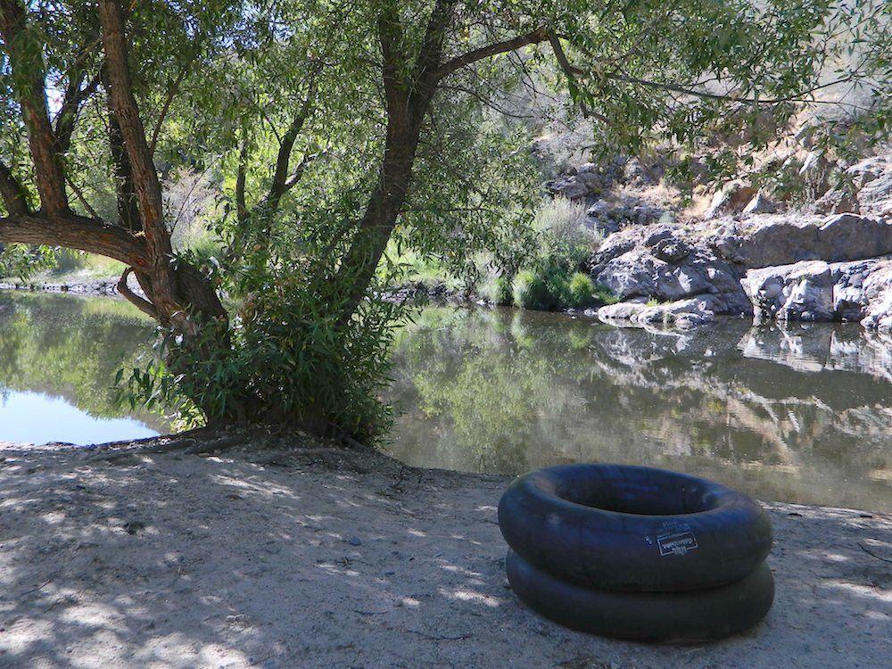
kern tube beaches

nearby towns:

Kern back road destinations:

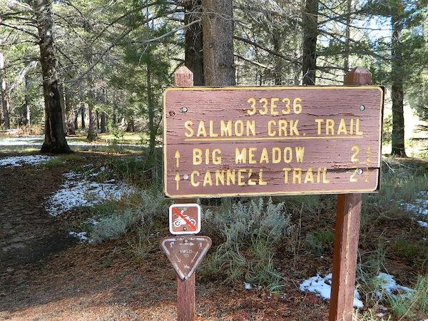
33E36trailhead

rinconcamp

Rincon Camp @ Sherman Pass Road
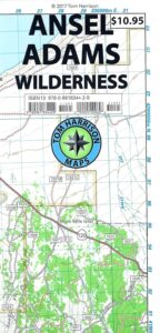
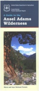
Ansel Adams Wilderness Map

Ansel Adams Map USDA
USDA Ansel Adams

Ansel Adams Wilderness, part of Inyo NF and Sierra NF

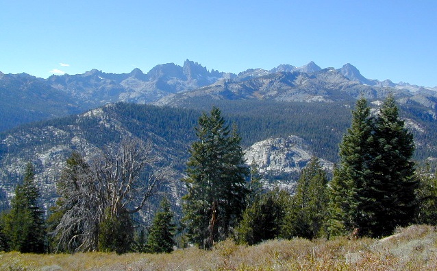
This High Sierra terrain spans some of the most majestic areas of the Sierra Nevada – the youngest mountain range in the U.S. This wilderness is bordered by National Parks, National Forests, and other Wilderness Areas – all the way around it. Kaiser Wilderness and Lake Edison inside Sierra NF on the west, Yosemite National Park on the north, Inyo NF on the east side, and John Muir Wilderness on the south end. Wow!

This 230,300 acre, high elevation wilderness was formerly the Minarets Wilderness, renamed in 1984 to honor the pioneering landscape photographer, Ansel Adams. Known for spectacular alpine scenery, elevations range from 7,000 to 14,000 feet. Rugged granite peaks and passes, with alpine lakes, includes high country east of the Sierra crest. Pacific Crest Trail and John Muir Trail cross this High Sierra Wilderness region.

This USDA map is also available at Ranger Stations.

Perfect for packing and hiking references, fishing lakes, creeks, high altitude camp sites, horse packing routes, or extended backpacking adventures. Map Scale = 1″ to mile; Printed on waterproof plastic paper. Updated in 2011. ISBN# 9781593515188

minarets

see also –

Ansel Adams Trail Map

Ansel Adams Wilderness Trail Map
by Tom Harrison Topo Maps

Eastern Sierra Trail Map

OLDER EDITION

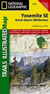
NatGeo Ansel Adams
Map #309
Yosemite SE

NatGeo Map

Ansel Adams Trailhead locations include –

Eastern Sierra: Lee Vining, June Lake, Mammoth Lakes, CA

Western Sierra: Edison Lake (pictured below), Huntington Lake, Shaver Lake, Clover Meadow, Mammoth Pool Reservoir, NorthFork via Bass Lake and Yosemite National Park.

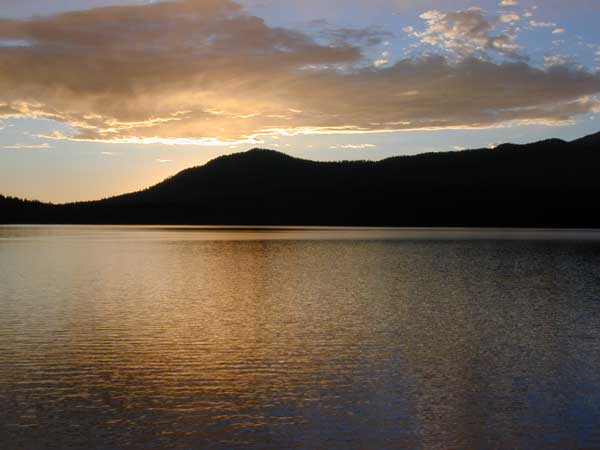
Edison Lake

Ventana Wilderness Map

Ventana Wilderness
Big Sur Hiking Maps

Ventana Wilderness Map

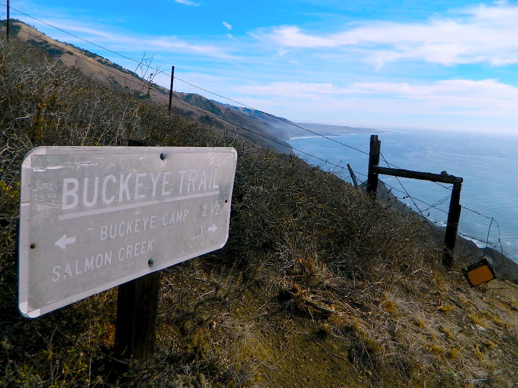
Buckeye Trail in Silver Peak Wilderness

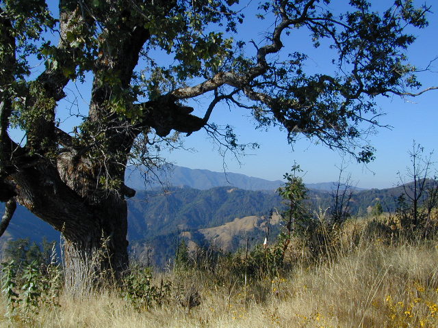
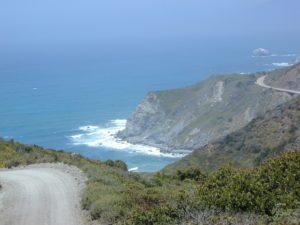
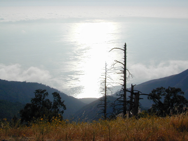
Several map makers offer topographic hiking maps for the Ventana Wilderness Map, located on the super scenic Big Sur coast in California. Silver Peak Wilderness is to the south of Ventana, and usually included on the same map. Perfect for day hikes, overnight backpacking trips or just getting an impressive view of the Pacific Ocean.

ventana map

Ventana Wilderness

Silver Peak Wilderness

Big Sur NatGeo Map

Ventana Wilderness Map USDA
found at USGS: Ventana Trail MapVentana Wilderness Map

Silver Peak Wilderness located inside the northern section of Los Padres National Forest (Monterey County California)

If you plan on backpacking the Big Sur Coast, this is the California topo map you will need. This map covers both the southern section – Silver Peak Wilderness & the northern most Ventana hiking areas. This map covers everything south and east of Andrew Molera State Park over to Sierra de Salinas near Hwy 101, and southward to Ragged Point & Windy Point in the southern Big Sur coastline. Camp in coastal redwood groves, hike the trails with outstanding views over the Pacific Ocean, and play in the numerous fern lined creeks.

Map printed with vegetable oil based ink, on waterproof polypropylene plastic. Might be available from Los Padres USFS Ranger Stations. USDA printing 2007; Scale 1: 63 – ISBN# 9781593514655

Ventana Wilderness Map

Big Sur Wilderness Press

Ventana Wilderness Map

big sur back roads

nearby towns:

Ventana Wilderness Map

ocean glare afternoons

day hikes big sur

see also –

Big Sur Books
Big Sur Maps
Los Padres National Forest Maps
Los Padres Forest Atlas

Angeles National Forest Map

Angeles National Forest Map

Angeles National Forest Map

USDA angeles NF

hikers mapNFS – USDA – U.S. Forest Service

Angeles Crest Highway 2 / San Gabriel Mountains
Angeles Forest / San Gabriel National Monument

Angeles National Forest
USGS map California: Angeles Map. San Gabriel Mountains, Mount Wilson, Castaic, Angeles Crest, Chilao, Buckhorn, Crystal Lake, Wrightwood
Angeles National Forest Map
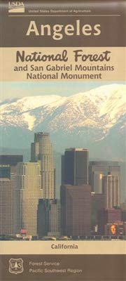
Angeles National Forest Map: WATERPROOF MAP plastic & tear resistant. Ranger Map – NFS issued map. GPS: Longitude & Latitude; Rivers, Creeks, Peaks, Elevations, 4WD & every dirt BackRoad, Hot Springs, Equestrian Areas, all Campgrounds, Hiking Trails & BackPacking Trailheads. Areas include: Chilao, San Gabriel Wilderness, Cucamonga Wilderness, Sheep Mountain, Lake Castaic, Mount Wilson, Castaic, Angeles Crest, Crystal Lake, Jackson Lake, Upper Big Tujunga, Little Tujunga, Mount Gleason, Mount Pacifico, Kratka, Cloudburst Summit, Lytle Creek, Chantry Flat, Bandito.

Quality USDA maps created for the National Forest Service. Size: 27″x 44″ overall / 4″x9″ folded; Printed on plastic in 2016. ISBN# 9781628114225

Angeles National Forest Map

OLDER VERSION

  • backpacking
  • campingsnow
  • hiking
  • mountain biking
  • picnicking
  • snow sledding
Angeles National Forest Map

Buckhorn Campground, on Angeles Crest Hwy

Angeles National Forest is registered as California Historical Landmark #717, for being the first National Forest in the state.

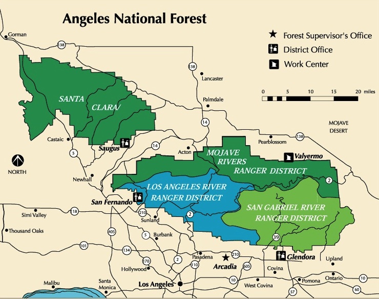
The Angeles National Forest covers a total of 700,176 acres, protecting large areas of the San Gabriel Mountains and Sierra Pelona Mountains. It is located just north of the densely inhabited metropolitan area of Greater Los Angeles.

While primarily within Los Angeles County, a small part extends eastward into southwestern San Bernardino County, in the Mount San Antonio (Mount Baldy) area, and a tiny section also extends westward into northeastern Ventura County, in the Lake Piru area.

The San Gabriel Mountains National Monument, established in 2014 and managed by the U.S. Forest Service, is largely within the Angeles National Forest.

The Angeles National Forest manages the habitats, flora and fauna ecosystems, and watersheds. Some of the rivers with watersheds within its boundaries provide valuable non-groundwater recharge water for Southern California. The existing protected and restored native vegetation absorb and slow surface runoff of rainwater to minimize severe floods and landslides in adjacent communities.

The land within the forest is diverse, both in appearance and terrain. Elevations range from 1,200′ to 10,064′. The Pacific Crest Trail crosses the forest.

see all Angeles Maps

see also –camp map
NatGeo Angeles Map #811
Angeles Forest Topo Atlas
San Gabriel Mountains Map
Mount Baldy Map
Mount Wilson Map
Cucamonga Wilderness Map 

Angeles National Forest Map

Wrightwood is located on the southern end of Angeles Crest Highway 2