Kern River Maps

Kern River Canyon Recreation Maps

Kern River Maps

Lower Kern River Trail

  • backpacking
  • boulders
  • camping
  • cedar groves
  • fishing
  • fire lookout towers
  • hiking
  • horseback riding
  • hot springs
  • hunting
  • mountain meadows
  • mountain biking
  • off-roading
  • rock climbing
  • sequoia groves
  • wildflowers

Kern River Map

Maps of the Kern River Canyon & vicinity:
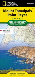
Southern Sierra Map
Sequoia National Forest USDA Map

Dome Land Wilderness Map USDA
Golden Trout South Sierra Map USDA
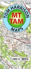
Golden Trout Wilderness Map Tom Harrison
Jawbone Canyon, Kelso Valley OHV Map
Pacific Crest Trail Topo Map #3

Kern River Maps

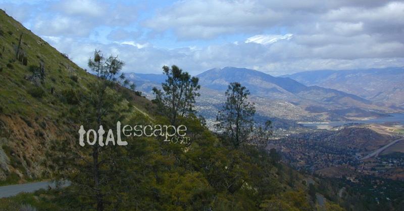
Lake Isabella, from Caliente Bodfish Road
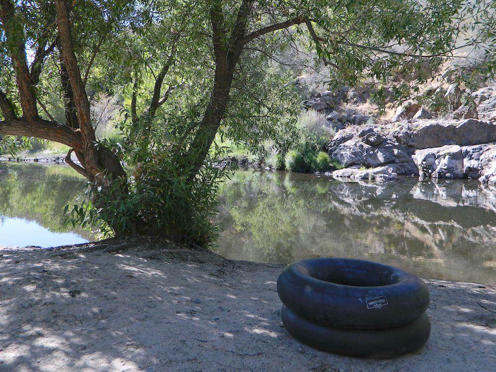
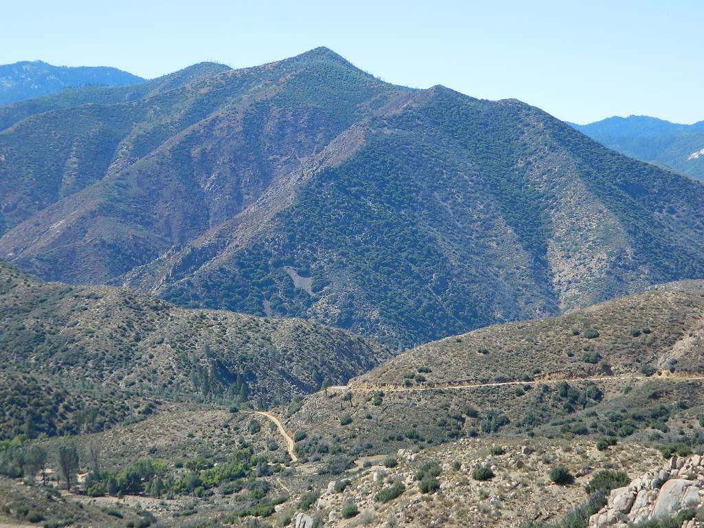
Kern River
Kern Plateau
Shermans Pass Road #22S05
Sierra Back Road Maps

Kern River Maps

Kern River Maps

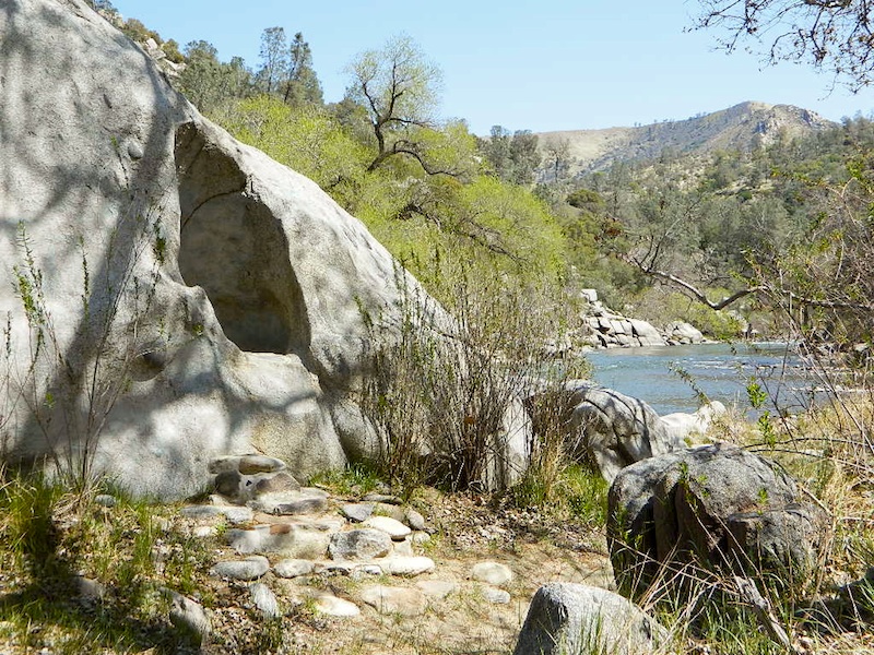
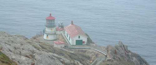
Kern River Hot Springs

avenzabar

digital maps for download

BLM Topo Map – Lake Isabella, California
Tom Harrison Topo Map – Golden Trout Wilderness
Giant Sequoia Forest Map Topo
Pacific Crest Trail – Section G (Map Bundle)

USGS Topo Map – Alta Sierra, Shirley Mdws (free)
USGS Topo Map – Cannel Peak, Creek, Meadows (free)
USGS Topo Map – Johnsondale, Sequoia NF (free)

Kern River (north) OHV Guide Map
Kern River (south) OHV Guide Map
CTUC Inyo & Sequoia (south) OHV Map
USFS Winter Recreation Map – Sequoia NF (free)
USFS Winter Recreation Map – Western Divide, Sequoia (free)
USFS Map Sequoia MVUM – Kern River North (free)
Sequoia MVUM – Western Divide Map (free)
Inyo MVUM – Monache Mdws, South Fork Kern River (free)
Inyo MVUM – Southern Sierra OHV Trails (free)

California Deer Hunting Zone D8 – Kern Map
California Deer Hunting Zone X10 – South Sierra Map

kern tube beaches

nearby towns:

Kern back road destinations:

33E36trailhead

rinconcamp

Rincon Camp @ Sherman Pass Road

Mount Tamalpais Maps

Mount Tam Map

Mount Tam Trails Map
NatGeo Map Mt Tam & Point Reyes
Tamalpais State Park Map #266

NatGeo Trails Illustrated Mount Tamalpais State Park Map #266. NatGeo Mount Tamalpais Map. Point Reyes Map, Mt Tam Topo Map. Pt Reyes Topographic Map. Golden Gate National Recreation Area, Tomales Bay, Muir Woods National Monument, San Francisco Bay Area Hiking Trails. Marin Hiking Trails Hiking Trails. GPS Compatible, Full UTM Grid. Waterproof ISBN# 9781566955768

Mount Tam Map NatGeo, Mt Tamalpais Topo Map

Point Reyes Hiking Maps

Point Reyes Lighthouse

Mount Tamalpais Trail Map
Tom Harrison

Mount Tam

Tom Harrison Trail Map: Mount Tamalpais Trail Map, Mount Tamalpais State Park Map; Marin County Open Space, Marin Municipal Water District, San Francisco Hiking Maps, San Francisco Hikes, Backpacking Point Reyes. Camping Point Reyes Redwoods. Mount Tam Hiking, Golden Gate National Recreation Area; Durable, waterproof plastic map; Folded. Map Scale: 24K; ISBN# 9781877689741

hikers map

Muir Woods Map Marin

nearby towns:

Mount Tam Map

Bay Area Trail Map
Mount Tamapais

Mt Tamalpais Map

hiking trail map

see also –
Point Reyes Trail Map by Tom Harrison
San Francisco Trail Maps
San Francisco Bay Area Maps

Tahoe Rim Trail Map

Tahoe Tom Harrison Map
Tahoe Rim Trail Map

Lake Tahoe Recreation Map
by Tom Harrison MapsTahoe Rim Trail Map

California’s Jewel of the Sierra

Tahoe Rim Trail Topo Map: Lake Tahoe Recreation Map, Tahoe Topo Maps, Hiking Trails Backpacking Maps, Lake Tahoe Hikes; Meeks Bay, Martis Peak, Tahoe Rim Trail, King Beach, Emerald Bay, Granlibakken, Spooner Lake, Martlett Lake, Tahoe Meadows, Desolation Wilderness Trails, Sugar Pine Point, South Lake Tahoe, Alpine Meadows, Fallen Leaf Lake Hiking Trails. Durable, waterproof plastic map; Folded. Map Scale: 72K; ISBN# 9781877689598

Tahoe Rim Trail Map

PREVIOUS EDITION

digital maps download digital versions of this map

Tahoe Rim Trail Maps
Lake Tahoe Rim Trail Map (East/NV)
Lake Tahoe Rim Trail Map (West/CA)

driftwood

hikers mapTRT

The Tahoe Rim Trail is 165 miles of single-track trail that circum-navigates perimeter of Lake Tahoe, CA.  while passing through 2 states, 6 counties, one state park, 3 national forests, and 3 wilderness areas. Forty-nine miles overlap with the Pacific Crest Trail. A network of additional trails connects to this popular rim trail.

Elevations along the trail range from 6,300′ at Tahoe City to 10,338′ at the top of Relay Peak. Numerous creeks and lakes, ridges and meadows, conifer forests, scree slopes and alpine terrain with wildflowers.

wildflower
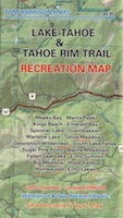
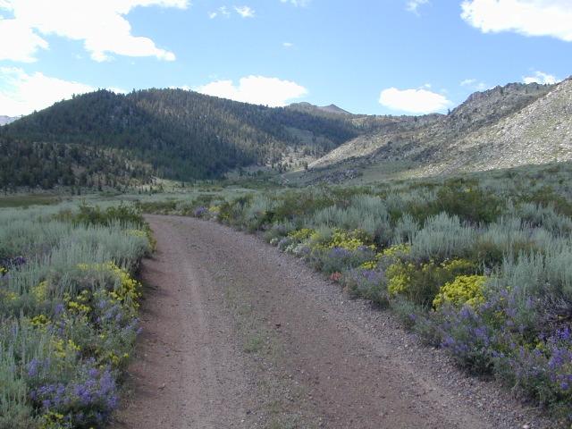
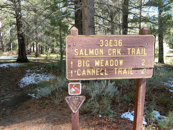
There are 10 official trailheads that access the eight trail segments which form a continuous loop in the mountains above the lake. The segments range from 12.2 to 32.5 miles in length. Unofficial entry points also provide a means of getting onto the trails. Trail conditions are best during the usually snow-free months of July through October, and the height of the wildflower bloom is usually July and August.

National Geographic Maps also makes a trail map for Tahoe Rim Trail.
TAHOE RIM TRAIL NG

Lake Tahoe Rim Trail, Sierra Nevada, California

  • day hikes
  • mountain bike
  • backpacking
  • horseback trails
  • meadows
  • wildflowers

Tahoe Rim Trail Map

see also –

Tahoe National Forest Maps
Tahoe Topo Atlas
Tahoe Basin USDA Map
Lake Tahoe Maps
4×4 Routes Tahoe Map

Inyo Forest Topo Atlas

High Sierra Topo Map
Eastern Sierra Nevada, California

Inyo National Forest Atlas

Inyo topo atlas

fishing map
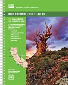
The INYO atlas, is a spiral bound book – a collection of all the quads. (7.5 minute topographical maps, of all of Inyo National Forest) Both sides of US Highway 395! From Olancha to Yosemite, Bodie ghost town to Darwin near Death Valley. This book map has detailed topo lines, mountain peaks, streams, lakes, hot springs, hiking trails & back roads. Perfect for all kinds of recreational needs. 117 pages. Printed in 2014. ISBN# 9781628114058

south_lake

South Lake near Bishop CA

see also –

Inyo National Forest Map
Mount Whitney Maps
Death Valley Maps
Bishop Pass Map
Palisades Trail Map
Mammoth Highcountry Map
Mammoth Mono Trail Map
Ansel Adams Wilderness Map
John Muir Wilderness Map
Fishing Maps for California

regional towns:inyo topo map

Inyo National Forest NFS

cottonwoodcampsite
Cottonwood Lakes and Horseshoe Meadow, an alternate hiking approach to Mount Whitney

hikers map

dunderberg

Inyo National Forest QUADS:
from south to northhorse trail maps

Inyo back roads Maps

Inyo back roads, 4×4 routes and hiking trailheads

Inyo National Forest Topo Maps, Topographical Inyo Map, Eastern Sierra, Olancha Peak, Lone Pine, Alabama Hills, Whitney, Mammoth, June Lake, Rock Creek, Lee Vining, Bishop, Sabrina, Palisades Glacier, Onion Valley, Independence, Coyote Flat Lake

Inyo Forest Topo Maps