Los Padres National Forest Map

Coastal Big Sur Maps

California Central Coast Forest Maps
Los Padres National Forest Maps
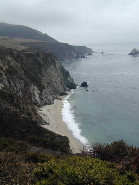
Los Padres Maps are perfect for exploring the gorgeous California Central Coast, from the beaches of Big Sur to hiking canyons of Ojai CA – National Forests North of L.A.

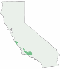
There are numerous maps covering the coastal mountain regions of Los Padres NF, which spans from Monterey Bay in the north to the Ojai mountains in the south, and eastward to Tejon Pass @ Interstate 5. Many folks call this area the Santa Barbara mountains, but it is so vast that it covers way more than just the coastline.

Los Padres Maps

The National Forest Service makes two forest maps and two wilderness maps; USDA maps include:LosPadres Map
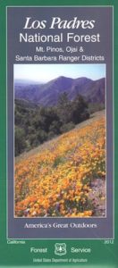
coastal mapsNatGeo, short for National Geographic makes three Trails Illustrated maps: colorful, topographic publications covering the entire Big Sur coast line, plus the mountain areas:

camp map

Los Padres Topo Maps: Smaller map publishers have entered the scene, producing topographical maps for Los Padres wilderness regions, where there were voids:

Tom Harrison Maps –

Bryan Conant –
Los Padres NF Maps

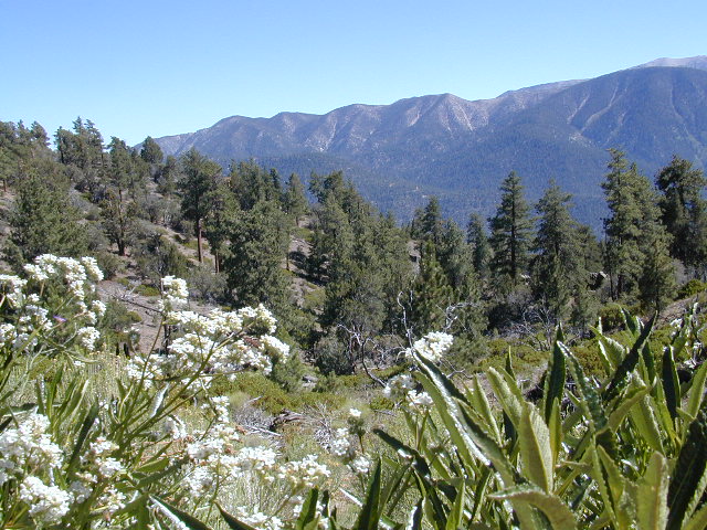
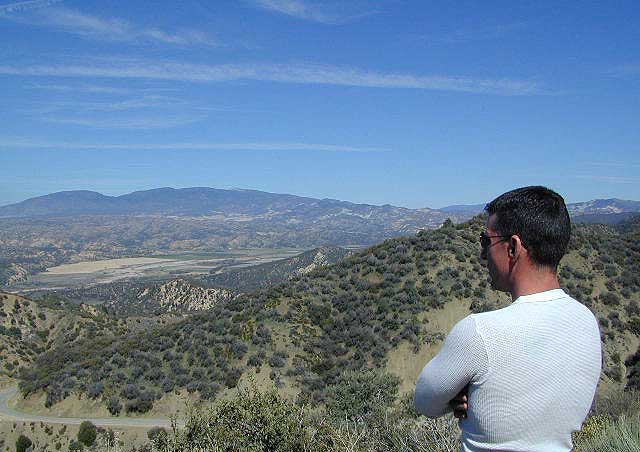
Ozena Views, from Lockwood Valley Road

hiking maps

Los Padres National Forest Atlas:
All Topo Quads

Los Padres topo atlas

National Forest Maps

Los Padres Forest Maps

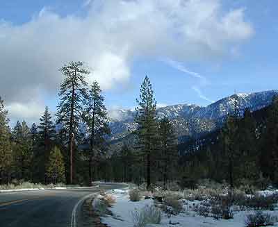
Snowy Mil Potreo Highway, W of PMC
 

Los Padres Maps and Atlas

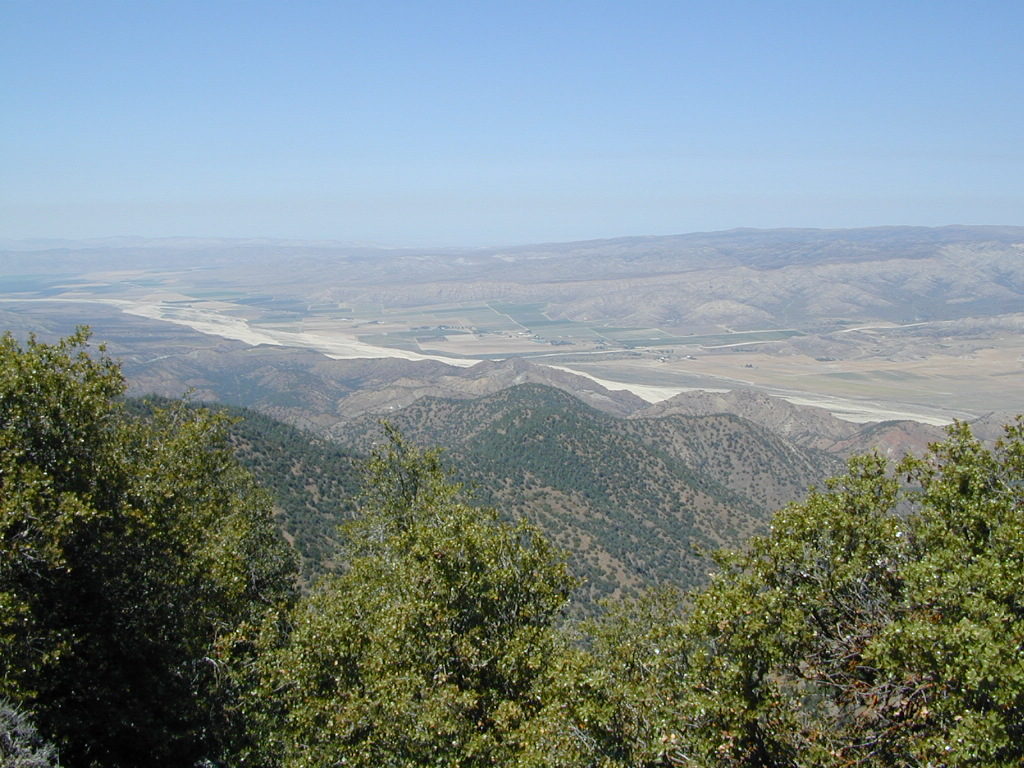
Cuyama River Valley as seen from the old fire lookout tower on Cuyama Peak

more links for this area –
Beautiful PMC

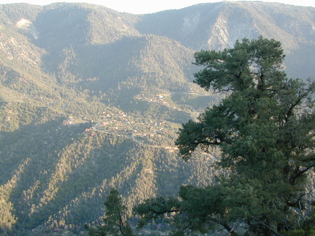
Beautiful PMC = Pine Mountain Club

4x4 Routes Los Padres

Sespe Wilderness Map

Sespe Wilderness Trail Map
Tom Harrison

sespe map

older version

Sespe Hiking / Sespe Creek / Sespe Hot Springs / Ojai Trails

Sespe Wilderness

Sespe Hot Springs Hike

Los Padres National Forest

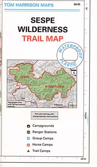
Tom Harrison Trail Map: Sespe Wilderness Map. Sespe is part of the Los Padres National Forest California: Pine Mountain. Piedras Blanca, Sespe Day Fire Area, Piru Creek, Sespe Hot Springs, Lake Piru, Wheeler Gorge, Topatopa Mountains, Rose Valley; Durable, waterproof plastic map; Folded. Map Scale: 63K; ISBN# 9781877689642

sespe topo map

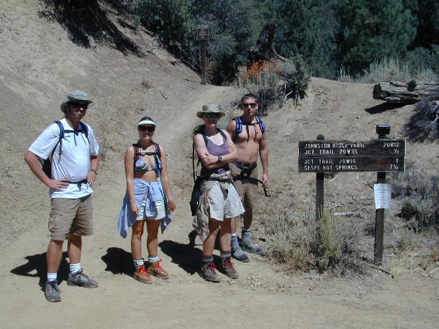
Sespe Hot Springs – 7.5 mile hike, one way

hikers map

Reyes Peak Camping

camp map

Ojai Camping

trail map

Frazier Park Camping

nearby towns:hikers map

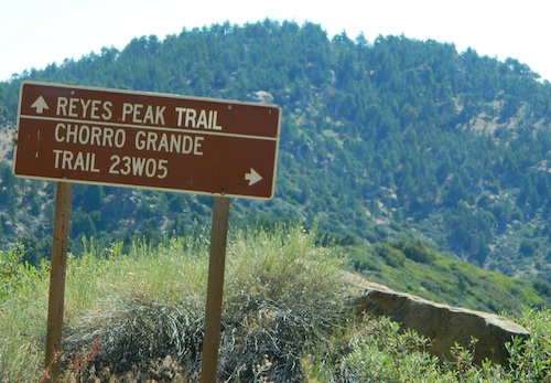
Reyes Peak

camp maps

see also –

Dick Smith Wilderness Map
Los Padres National Forest Maps
Los Padres Topo Atlas
San Rafael Wilderness Map

Big Bear Trail Map

Big Bear Trail Map

Big Bear Trail Guide
by Franko Maps

Big Bear Trail Map

A colorful and detailed map of Big Bear Lake in California and the surrounding area. The map shows lake water depth and contours, streets, roads, trails, shaded relief, marinas, fuel docks, public launch ramps, beaches and camp sites. Fish found in the lake are illustrated and described. Side 2 has extensive info on regulations, safety, permits, waterway markers, recreational facilities, campgrounds and picnic areas.

Printed on durable, waterproof material. 12″ x 18″, folded 4.5″ x 6″ ISBN# 9781601901354

  • backpackBig Bear Trail Map
  • camp
  • climb
  • hike
  • lake recreation
  • mountain bike
Big Bear Trail Map

OLD VERSION

see also – Big Bear Trail Map

San Bernardino National Forest Map
San Bernardino Forest Atlas
San Bernardino Mountains
San Gorgonio Wilderness Trails Maps

Franko’s Fish Card for Big Bear Lake

Big Bear Lake California Map & Fish Guide

Big Bear Lake California Map & Fish Guide

holcombvalley

Holcomb Valley, Big Bear, California


Big Bear Trail Map

John Bull 4×4 Trailhead

Topanga Canyon Map

Topanga Trail Map
Topanga Canyon Map

Topanga Canyon Map
Topanga State Park Map
Tom Harrison

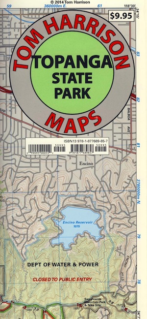
Topanga Canyon Map, Topanga State Park Map, Topanga Hiking Maps, Backpacking Topanga, Malibu Maps; Will Rogers Park, Tuna Canyon, Biking Trail, Red Rock Canyon Malibu, Temescal Canyon, Temescal Gateway Hike. Durable, waterproof plastic map; Folded. Map Scale: 31.7K; ISBN# 9781877689857

BACK BONE TRAIL
on Santa Monica Mountains NRA

see also – 

Santa Monica Mountains Map
Malibu Creek Map
Zuma Canyon Map
Point Mugu Map
Channel Islands Map
L A Hiking Maps

Topanga Canyon Map

Los Angeles County

Topanga Canyon Road is California State Route 27 (Hwy 27) a paved highway connecting the San Fernando Valley to the Malibu coast. Hiking and mountain biking trails, waterfalls, hidden restaurants and a large residential population in these hills.

horse trail maps

Topanga Canyon
Topanga Hiking Topo Map

  • hike
  • horseback
  • mountain bike
  • picnic

nearby towns:

Topanga Canyon Map

Topanga State Park

Covering 11,000 acres, with 36 miles of trails and unimproved roads, the boundaries stretch from Topanga Canyon to Pacific Palisades and Mullholland Drive. There are more than 60 trail entrances. Topanga State Park is the largest park in the Santa Monica Mountains.

Topanga State Park was opened to the public in 1974. Land includes more than 7,500 acres from the original Rancho San Vicente y Santa Monica land grant. Additional acreage has been added in the form of 1,500 acres from the Palisades Highlands and another 1,600 acres added in 2002, near the mouth of the Topanga Creek

The word Topanga is an old Shoshonean language word meaning ‘above’ and referring to the canyon settlement being above the flood waters of Topanga Creek. The Tongva and Chumash peoples inhabited the area for thousands of years

california indpendent