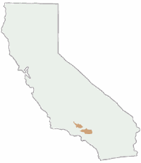
Ishi Hiking Map

This Northern California map issued by the USDA National Forest includes 3 separate wilderness areas –
- Ishi Wilderness
- Thousand Lakes Wilderness
- Caribou Wilderness
Ishi @ Cohassett / Chico Hikes / Lassen Maps
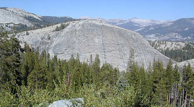
Caribou Wilderness, Ishi Wilderness & Thousand Lakes Wilderness
Three different NorCal wilderness areas: Caribou Wilderness, Ishi Wilderness, Thousand Lakes Wilderness are all featured on this USDA topo map. Perfect for a day hike reference or extended backpacking adventures. Map Scale = 1″ to mile; Printed on paper.

towns nearby:
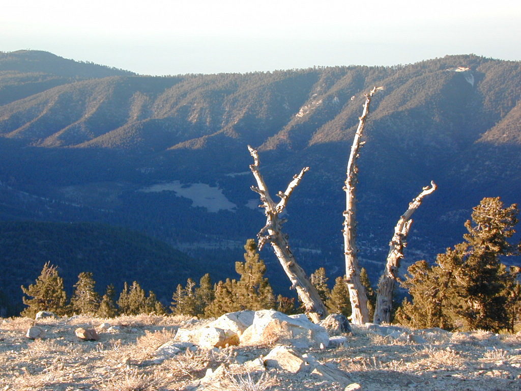
downhill from a volcano, Lassen Peak
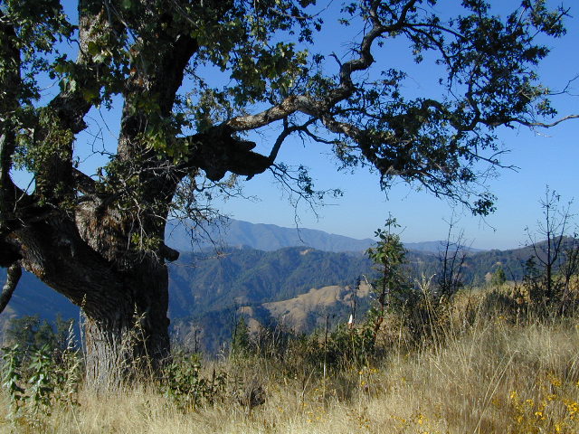
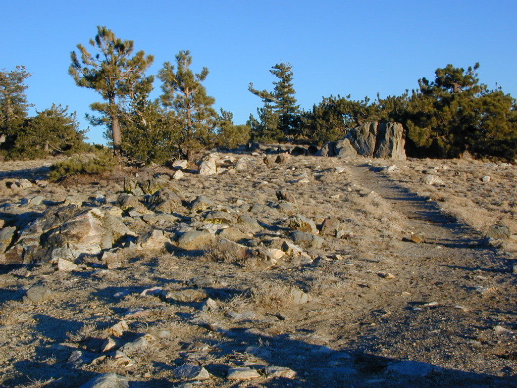
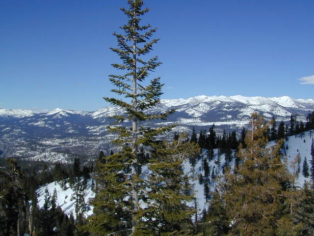
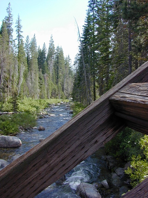
This mountain foothill land is etched by wind and water, and dotted with basalt outcroppings, caves, and unusual pillar lava formations. The land is a series of east-west running ridges framed by rugged river canyons, with the highest ridges attaining elevations of 4000′. Deer Creek and Mill Creek are the principal drainage and flow into the Sacramento River.
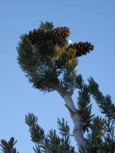
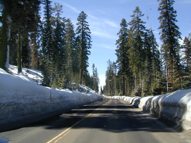
 The sun-baked south slopes are covered with chaparral brush. Pines and oaks thrive on the moister slopes facing north and lush damp forests line the river banks. This area is home to pine clusters, dense areas of ponderosa pine growing on terraces in river cut canyons.
Oh Deer! The largest migratory deer herd in California, the Tehama deer herd, winters in this Ishi wilderness area. In addition, wild hogs, mountain lions, black bears, coyotes, bobcats and jack rabbits also live out here. A State Game Refuge, where hunting is not permitted, occupies most of the Ishi Wilderness.
However, special fishing regulations are in effect for fishing in Deer and Mill Creeks, home to many fish species. And of course, a valid California fishing license is required.
A variety of raptors including hawks, eagles, falcons, and owls nest in the rock cliffs. Wild turkey, quail, mourning doves, canyon wrens, band-tailed pigeons, bats and many songbirds are frequently seen.

see also –
Lassen Books
Lassen Forest Topo Atlas
Lassen National Forest Map USDA
Lassen Park Maps
Bucks Lake Wilderness Map
Fishing Maps