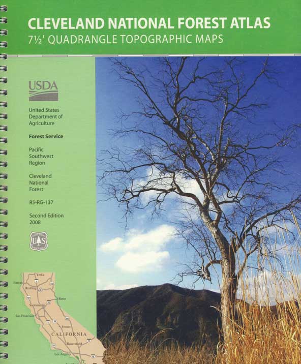
Cleveland National Forest Atlas Topo
 Southern California Forest Map / San Diego Mountains Topo
San Diego Mountains / Cleveland National Forest Map / Cleveland Forest Map
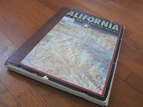
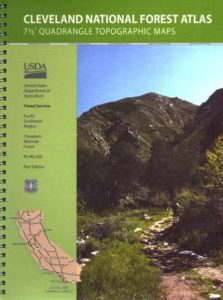
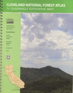
 Cleveland Forest Atlas is a spiral bound book – a collection of all the quads. (7.5 minute topographical maps, of all of Cleveland National Forest; aka. San Diego backcountry) This book map has detailed topo lines, mountain peaks, streams, lakes, hiking trails & back roads. Perfect for all kinds of recreational needs. USDA
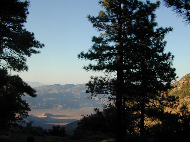
Views over Anza Borrego Desert
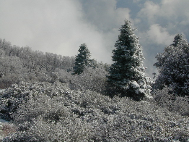
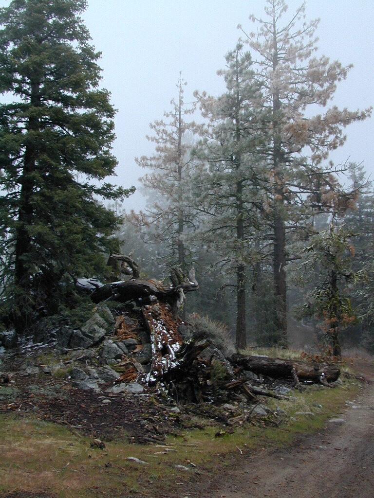
Snow at Palomar Mountain
Cleveland Forest Atlas
Cleveland National Forest QUADS:
from south to north –
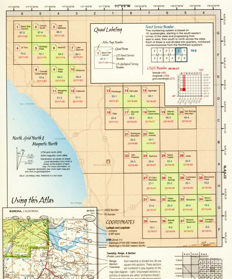
- Cameron Corners
- Morena Reservoir
- Barrett Lake
- Dulzura
- Mount Laguna
- Descanso
- Viejas Mountain
- Alpine
- Monument Peak
- Cuyamaca Peak
- Tule Springs
- El Cajon Mountain
- Julian
- Santa Ysabel
- Ramona
- San Pasqual

- Mesa Grande
- Rodriguez Mountain
- Hot Springs Mountain
- Warner Springs
- Palomar Observatory
- Boucher Hill
- Pala
- Aguanga
- Vail Lake

- Pechanga
- Fallbrook
- Margarita Peak
- Wildomar
- Alberhill
- Santiago Peak
- El Toro
- Lake Matthews

- Corona South
- Black Star Canyon
see also –
Cleveland National Forest Map
San Diego Backcountry Map
Anza Borrego Desert Map
Rancho Cuyamaca Map
Pine Creek Wilderness Map
first edition
a previous atlas
nearby towns –
- ALPINE, CA
- BORREGO SPRINGS
- CAMPO, CA
- DESCANSO, CA
- LAKE ELSINORE
- MOUNT LAGUNA
- JULIAN, CA
- PALOMAR MOUNTAIN
- PINE VALLEY, CA
- RAMONA, CA
- SAN JUAN CAPISTRANO
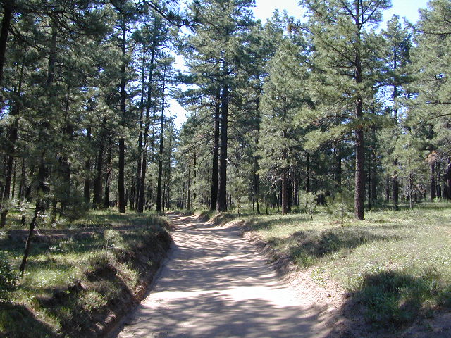
Morris Ranch Road, San Diego County Mountains