 NFS – USDA – U.S. Forest Service
Angeles Crest Highway 2 / San Gabriel Mountains
Angeles Forest / San Gabriel National Monument
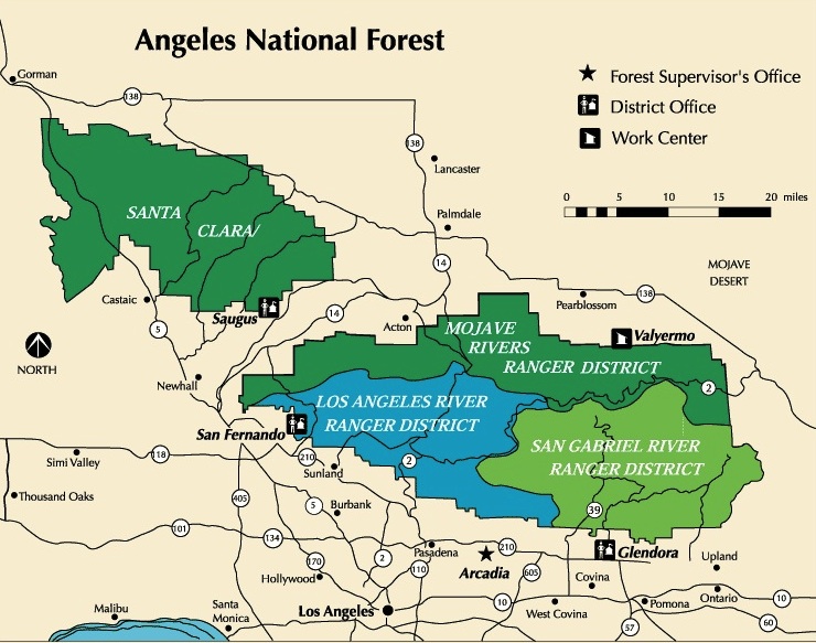
Angeles National Forest
USGS map California: Angeles Map. San Gabriel Mountains, Mount Wilson, Castaic, Angeles Crest, Chilao, Buckhorn, Crystal Lake, Wrightwood
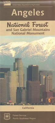
Angeles National Forest Map: WATERPROOF MAP plastic & tear resistant. Ranger Map – NFS issued map. GPS: Longitude & Latitude; Rivers, Creeks, Peaks, Elevations, 4WD & every dirt BackRoad, Hot Springs, Equestrian Areas, all Campgrounds, Hiking Trails & BackPacking Trailheads. Areas include: Chilao, San Gabriel Wilderness, Cucamonga Wilderness, Sheep Mountain, Lake Castaic, Mount Wilson, Castaic, Angeles Crest, Crystal Lake, Jackson Lake, Upper Big Tujunga, Little Tujunga, Mount Gleason, Mount Pacifico, Kratka, Cloudburst Summit, Lytle Creek, Chantry Flat, Bandito.
Quality USDA maps created for the National Forest Service. Size: 27″x 44″ overall / 4″x9″ folded; Printed on plastic in 2016. ISBN# 9781628114225
OLDER VERSION
- backpacking
- camping

- hiking
- mountain biking
- picnicking
- snow sledding
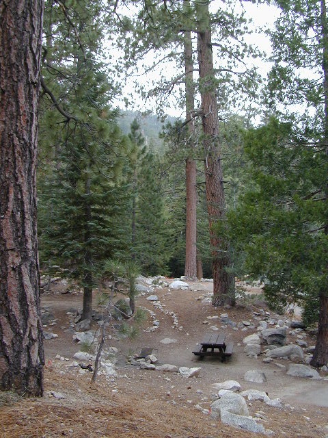
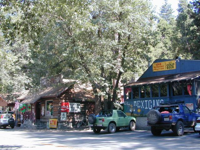
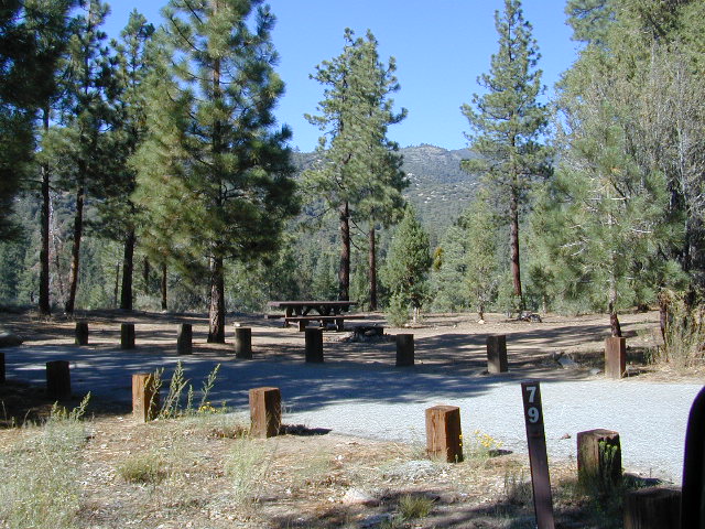
Buckhorn Campground, on Angeles Crest Hwy
Angeles National Forest is registered as California Historical Landmark #717, for being the first National Forest in the state.
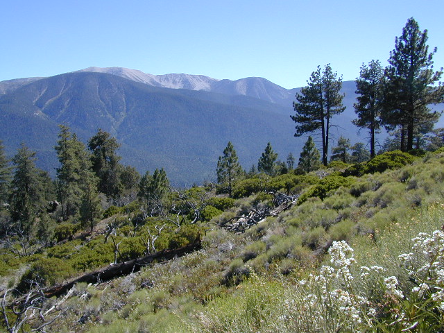
The Angeles National Forest covers a total of 700,176 acres, protecting large areas of the San Gabriel Mountains and Sierra Pelona Mountains. It is located just north of the densely inhabited metropolitan area of Greater Los Angeles.
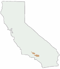
While primarily within Los Angeles County, a small part extends eastward into southwestern San Bernardino County, in the Mount San Antonio (Mount Baldy) area, and a tiny section also extends westward into northeastern Ventura County, in the Lake Piru area.
The San Gabriel Mountains National Monument, established in 2014 and managed by the U.S. Forest Service, is largely within the Angeles National Forest.
The Angeles National Forest manages the habitats, flora and fauna ecosystems, and watersheds. Some of the rivers with watersheds within its boundaries provide valuable non-groundwater recharge water for Southern California. The existing protected and restored native vegetation absorb and slow surface runoff of rainwater to minimize severe floods and landslides in adjacent communities.
The land within the forest is diverse, both in appearance and terrain. Elevations range from 1,200′ to 10,064′. The Pacific Crest Trail crosses the forest.
see also –
NatGeo Angeles Map #811
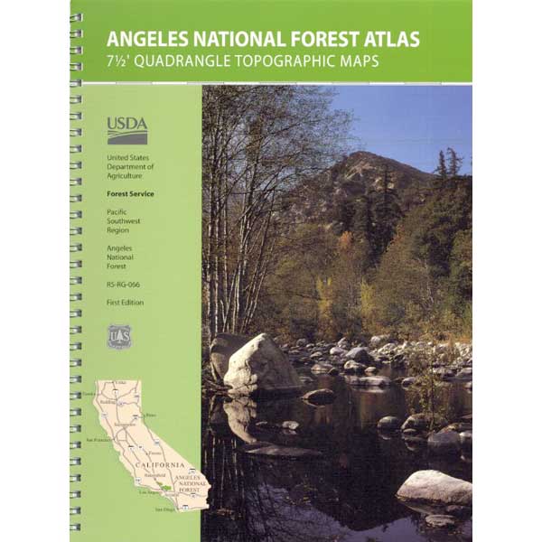
Angeles Forest Topo Atlas
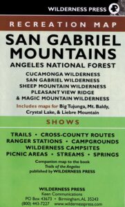
San Gabriel Mountains Map
Mount Baldy Map
Mount Wilson Map
Cucamonga Wilderness Map
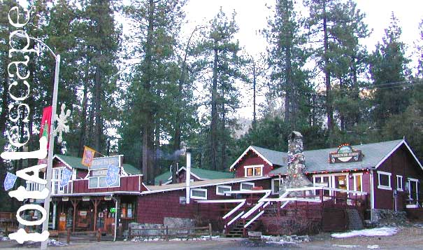
Wrightwood is located on the southern end of Angeles Crest Highway 2