Kern River Maps

Kern River Canyon Recreation Maps
Kern River Maps

Lower Kern River Trail

  • backpacking
  • boulders
  • camping
  • cedar groves
  • fishing
  • fire lookout towers
  • hiking
  • horseback riding
  • hot springs
  • hunting
  • mountain meadows
  • mountain biking
  • off-roading
  • rock climbing
  • sequoia groves
  • wildflowers

Kern River Map

Maps of the Kern River Canyon & vicinity:

Southern Sierra Map
Sequoia National Forest USDA Map

Dome Land Wilderness Map USDA
Golden Trout South Sierra Map USDA
Golden Trout Wilderness Map Tom Harrison
Jawbone Canyon, Kelso Valley OHV Map
Pacific Crest Trail Topo Map #3

Kern River Maps

Lake Isabella, from Caliente Bodfish Road

Kern River
Kern Plateau
Shermans Pass Road #22S05
Sierra Back Road Maps

Kern River Maps

Kern River Maps

Kern River Hot Springs

avenzabar

digital maps for download

BLM Topo Map – Lake Isabella, California
Tom Harrison Topo Map – Golden Trout Wilderness
Giant Sequoia Forest Map Topo
Pacific Crest Trail – Section G (Map Bundle)

USGS Topo Map – Alta Sierra, Shirley Mdws (free)
USGS Topo Map – Cannel Peak, Creek, Meadows (free)
USGS Topo Map – Johnsondale, Sequoia NF (free)

Kern River (north) OHV Guide Map
Kern River (south) OHV Guide Map
CTUC Inyo & Sequoia (south) OHV Map
USFS Winter Recreation Map – Sequoia NF (free)
USFS Winter Recreation Map – Western Divide, Sequoia (free)
USFS Map Sequoia MVUM – Kern River North (free)
Sequoia MVUM – Western Divide Map (free)
Inyo MVUM – Monache Mdws, South Fork Kern River (free)
Inyo MVUM – Southern Sierra OHV Trails (free)

California Deer Hunting Zone D8 – Kern Map
California Deer Hunting Zone X10 – South Sierra Map
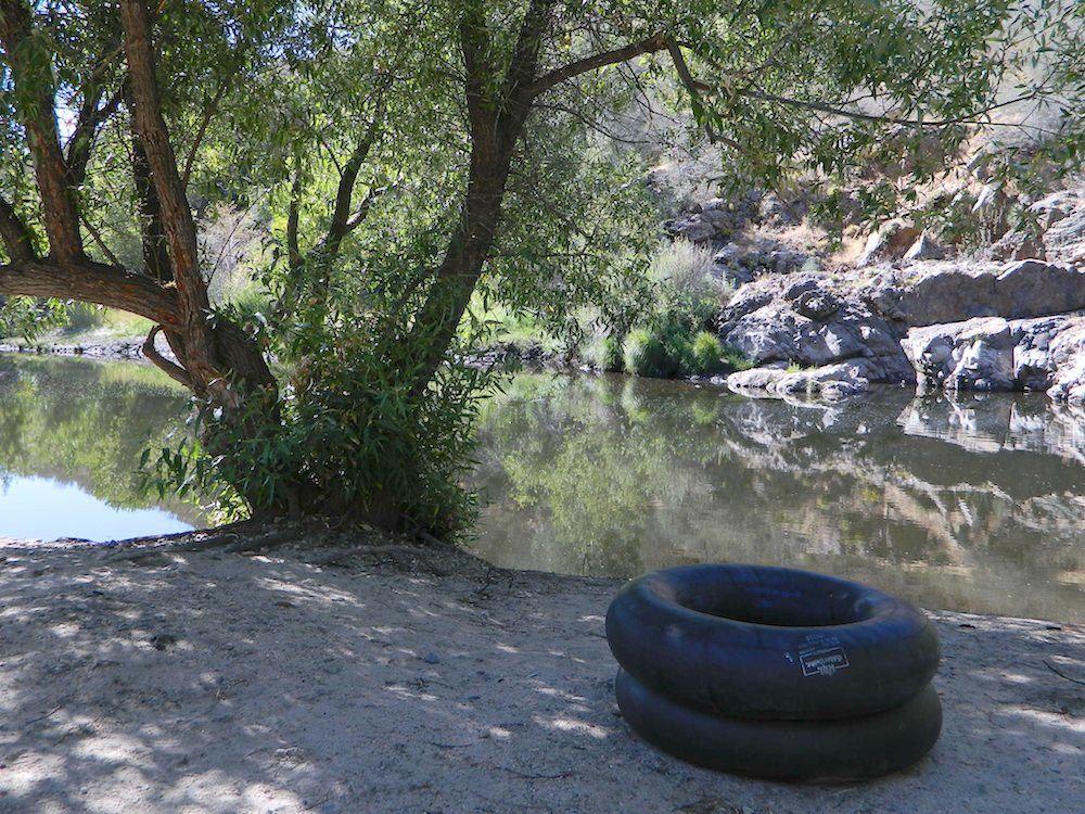
kern tube beaches

nearby towns:

Kern back road destinations:

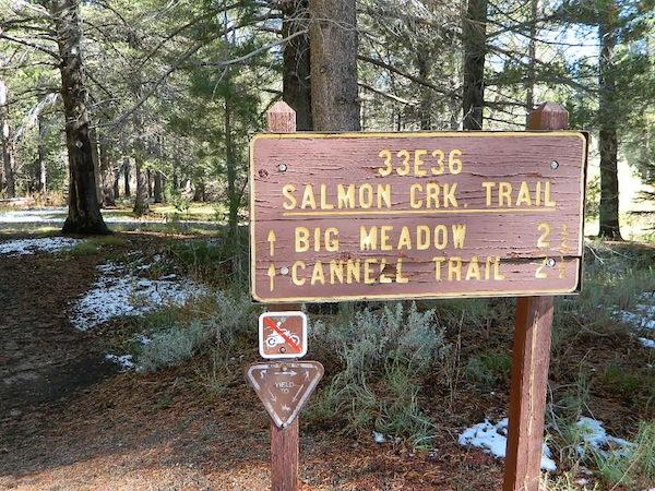
33E36trailhead

rinconcamp

Rincon Camp @ Sherman Pass Road
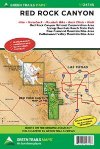
Red Rock Canyon Map

Red Rock Canyon Map

Spring Mountains
Red Rock Canyon
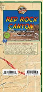
Vegas Hiking Map

Red Rock BLM Map

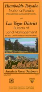
Spring Mountains National Recreation Area / Red Rock Canyon National Conservation Area / Las Vegas District BLM

Red Rock Canyon Map – VEGAS RED ROCK: BLM & USFS paper map includes a few parks and hiking trails near Las Vegas, NV. Humboldt Toiyabe National Forest, BLM lands, Spring Mountains National Recreation Area, plus the very popular attraction, Red Rock Canyon (only minutes outside of the city). Nevada Travel Outdoors. USDA National Forest Map. Printed on paper in 1997.

Red Rock Canyon Map

Red Rock Canyon Maps

Red Rock Canyon Map

Franko Map Vegas

hikers map

best vegas outdoors

One of the cheapest winter vacations around – ONLY IF you can stay outta the casinos!

Desert day hikes, snow play, waterfalls (Mt Charleston) and petroglyphs (Valley of Fire), plus cheap hotel at night. Make VEGAS an outdoor destination, instead of an indoor, air-conditioned fantasy land.

camp map

Camping near Las Vegas can be windy during any time of year, or brutal triple-digit heat during the summer months.

Red Rock BLM Campground is located in a very windy location and situated near a busy main road. Best bet is to camp further up the mountain (Mount Charleston) – up in the canyons, with the trees, for a better experience. It can be colder in higher elevations, so always bring a jacket (at any time of year).

LOCALS TIP:
Valley of Fire State Park actually has a much better Campground than Red Rock. 

Vegas Hiking Map

see also –

Lake Mead Map
Flagstaff Sedona Map
Grand Canyon Maps
Mojave National Preserve Map
Death Valley Park Maps
Desert Maps
Eastern Sierra Maps
Arizona Books & Maps
Utah Maps

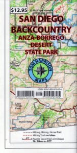
San Diego Backcountry Map

San Diego Backcountry Map

San Diego Desert Mao

TH SD topo map

OLDER EDITION

Topographic Maps by Tom Harrison: San Diego Deserts, Anza Borrego Desert. The #1 top selling map for the San Diego deserts!

San Diego Backcountry Recreation Map covers the entire Anza Borrego Desert State Park, the largest State Park in California & some portions of Cleveland National Forest; San Diego County Road S-2, S-22, Interstate 8, Highway 78 & Highway 94 to Tecate Mexico.

Areas surrounding Borrego Springs, Anza Borrego Park map, Julian & Warner Springs. PCT access (Pacific Crest Trail) plus Table Mountain, Sheep Canyon, OHV Deserts Ocotillo Wells SVRA, McCain Valley Camping, Carrizo Gorge Trestle Hike, Jacumba Hot Springs, Tierra del Sol 4×4 Trails, San Diego Lake Morena, Barrett Lake, Campo CA Potrero Regional Park, Agua Caliente Hot Springs, Vallecito, Carrizo Goat Trestle & Canyon sin Nombre Badlands.

digital mapsget a digital version of this map
San Diego Backcountry Map
by Tom Harrison

Recreation Map by Tom Harrison. Durable, waterproof plastic map; Folded. Map Scale: 125K; ISBN# 9781877689543

San Diego Desert Map

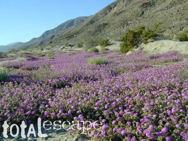
Borrego Desert is known best for Spring wildflowers (FEB-APRIL)

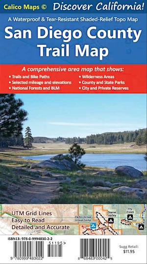
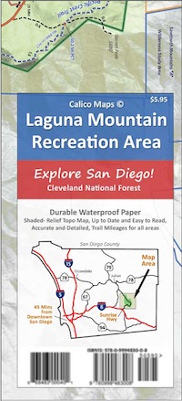
Two New San Diego Maps by Calico

San Diego County Trail Map

San Diego County Trail Map

Mount Laguna Map

Mount Laguna Trail Map

see also –
Cleveland National Forest Map 
Cleveland Forest Topo Atlas
Wilderness Press Map of Anza Borrego Desert

camp map

more exploring Anza Borrego:

Anza 4×4 Trails
Agua Caliente Hot Springs
Canon Sin Nombre Slot Canyons
Carrizo Gorge Goat Trestle
Culp Valley Camping
Great Overland Stagecoach Route of 1849
Mason Valley Truck Trail
Old Kane Springs Road
Split Mountain
Vallecito

Split Mountain Borrego

Split Mountain, Anza Borrego State Park, Southern California

4x4 maps

download digital maps

apps/maps:
download digital topos & maps

hiking

San Diego Camping, Anza Borrego Desert:

hikers map

nearby towns:

Hiking Maps Anza

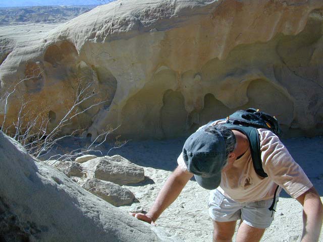
Exploring wind caves in Anza Borrego Desert

wildflower

campsunset

The whole canyon, all to yourself


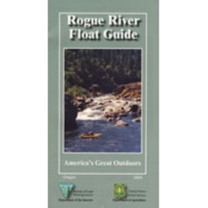
Rogue River Guide Book

Rogue River Map Booklet

Rogue River Guiderogue river guide

Tubing Oregon – Rogue River. Raft, float, paddle, camp, fish or hike.

Float tube, kayak, river rafting details for southern Oregon’s Rogue River. Every rapid, every camp site, every creek, swimming holes, fishing spots, mile by mile; Well laid out visual maps & information in this handy booklet. Printed on paper in 2004. BLM & USFS printing.

2022 currently unavailable on Amazon; might still be found at local ranger stations

Rogue River Map Book, Oregon Float Guide, Tubing
Kayak, Raft, Creek, BLM, USFS, USDA

fish

Rogue River Float Guide

Rogue River Float Guide Booklet (USFS & BLM)

canoe

Rogue River National Wild and Scenic River

hiker

Rogue River in located within the state of Oregon, just above the state line of California. Flowing westward, the river joins the Pacific Ocean at Gold Beach, Oregon.

The Rogue River in southwestern Oregon flows about 215 miles in a generally westward direction from the Cascade Range to the Pacific Ocean. Known for its salmon runs, whitewater rafting, and rugged scenery, it was one of the original eight rivers named in the Wild and Scenic Rivers Act of 1968.

Beginning near Crater Lake, which occupies the caldera left by the explosive volcanic eruption and collapse of Mount Mazama, the river flows through the geologically young High Cascades and the older Western Cascades, another volcanic province.

Further west, the river passes through multiple exotic terranes of the more ancient Klamath Mountains. In the Kalmiopsis Wilderness section of the Rogue basin are some of the world’s best examples of rocks that form the Earth’s mantle. Near the mouth of the river, the only dinosaur fragments ever discovered in Oregon were found in the Otter Point Formation, along the coast of Curry County.

Rogue River Float Guide

see also –

Rogue River National Forest Map
Red Buttes Wilderness Map
Columbia River Map
Oregon Dunes Map 
PCT Map #7 Southern Oregon
PCT Map #8 Northern Oregon