Kern River Maps

Kern River Canyon Recreation Maps
Kern River Maps

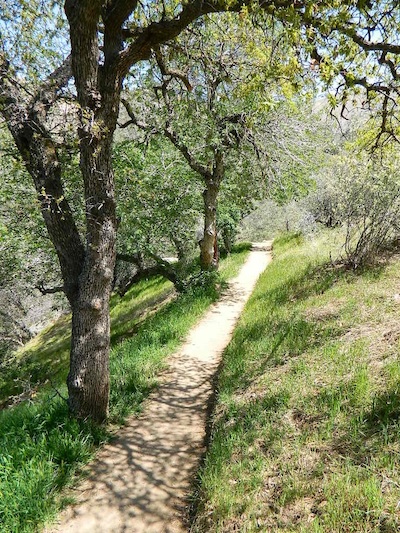
Lower Kern River Trail

  • backpacking
  • boulders
  • camping
  • cedar groves
  • fishing
  • fire lookout towers
  • hiking
  • horseback riding
  • hot springs
  • hunting
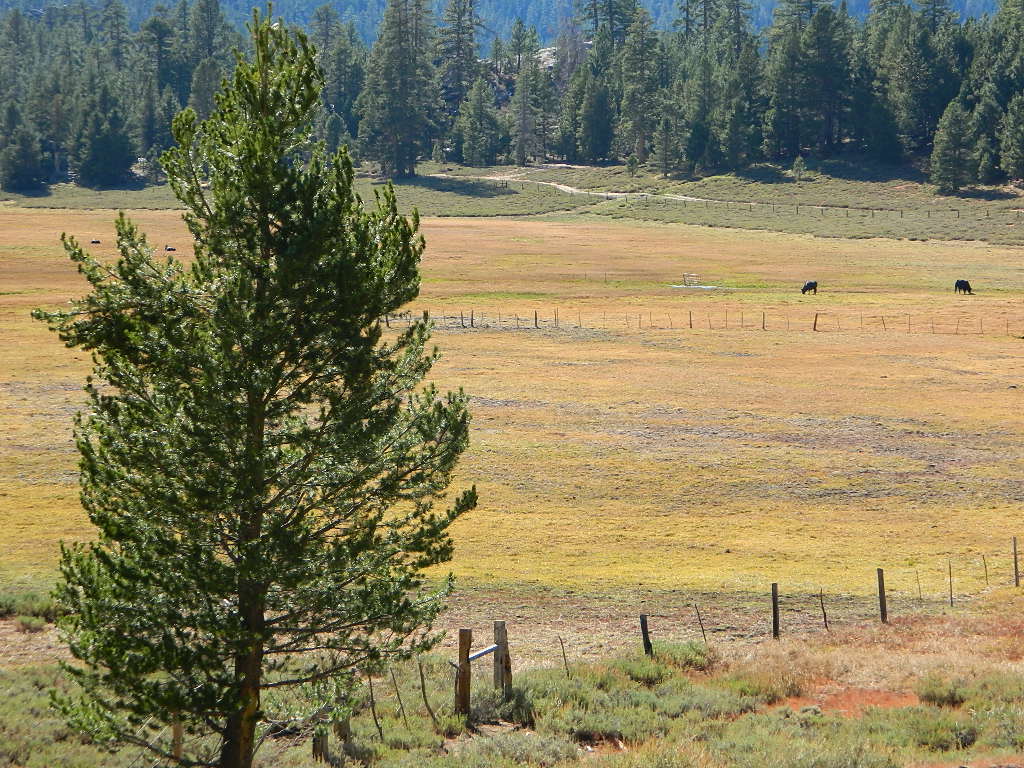
  • mountain meadows
  • mountain biking
  • off-roading
  • rock climbing
  • sequoia groves
  • wildflowers

Kern River Map

Maps of the Kern River Canyon & vicinity:

Southern Sierra Map
Sequoia National Forest USDA Map

Dome Land Wilderness Map USDA
Golden Trout South Sierra Map USDA
Golden Trout Wilderness Map Tom Harrison
Jawbone Canyon, Kelso Valley OHV Map
Pacific Crest Trail Topo Map #3

Kern River Maps

Lake Isabella, from Caliente Bodfish Road

Kern River
Kern Plateau
Shermans Pass Road #22S05
Sierra Back Road Maps

Kern River Maps

Kern River Maps

Kern River Hot Springs

avenzabar

digital maps for download

BLM Topo Map – Lake Isabella, California
Tom Harrison Topo Map – Golden Trout Wilderness
Giant Sequoia Forest Map Topo
Pacific Crest Trail – Section G (Map Bundle)

USGS Topo Map – Alta Sierra, Shirley Mdws (free)
USGS Topo Map – Cannel Peak, Creek, Meadows (free)
USGS Topo Map – Johnsondale, Sequoia NF (free)

Kern River (north) OHV Guide Map
Kern River (south) OHV Guide Map
CTUC Inyo & Sequoia (south) OHV Map
USFS Winter Recreation Map – Sequoia NF (free)
USFS Winter Recreation Map – Western Divide, Sequoia (free)
USFS Map Sequoia MVUM – Kern River North (free)
Sequoia MVUM – Western Divide Map (free)
Inyo MVUM – Monache Mdws, South Fork Kern River (free)
Inyo MVUM – Southern Sierra OHV Trails (free)

California Deer Hunting Zone D8 – Kern Map
California Deer Hunting Zone X10 – South Sierra Map
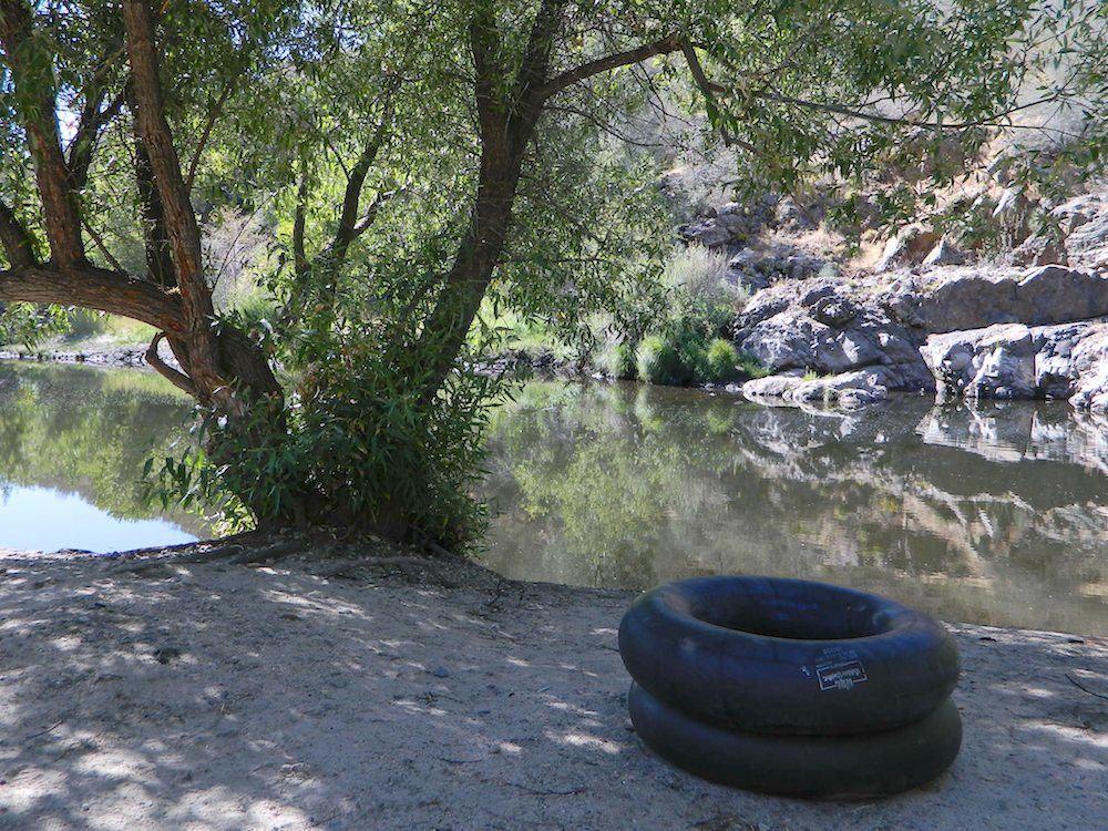
kern tube beaches

nearby towns:

Kern back road destinations:

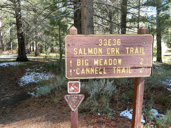
33E36trailhead

rinconcamp

Rincon Camp @ Sherman Pass Road
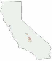
Sequoia National Forest Map

Sequoia Mapssierra redwoods map

NFS – USDA – U.S. Forest Service

Sequoia National Forest Map

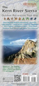
Kern River Canyon, Upper Kern, Lower Kern, Kern Plateau, Western Divide Highway, The Needles, Mountain Home SF, Sequoia National Park, Kings Canyon NP

River Raft Launch Spots, All Creeks, Peaks, Elevations, 4WD & every dirt Back Road, Hot Springs, Equestrian Areas, all Campgrounds, Hiking Trails & Backpacking Trailheads.
Sequoia Forest Maps
Areas include: Southern Sierra, Giant Sequoia, Western Divide Highway, Kern Canyon, Hwy. 178, Walker Pass, Kernville, Lake Isabella, Sugarloaf, Domelands, Kern River, Kennedy Mdws, Sherman’s Pass, Monache Mdws, South Sierras, Rincon, Canebrake, Dome Rock, The Needles, Western Divide, Ponderosa, Springville, Tule River, Jennie Lakes Wilderness, Golden Trout Wilderness, surrounding areas to Kings Canyon & Sequoia National Park, Miracle, Democrat, California Hot Springs.

Map Size: 28″x 54″ overall / 4″x9″ folded; Printed on waterproof plastic in 2011. ISBN# 9781593515096


sequoia grove map

USDA map

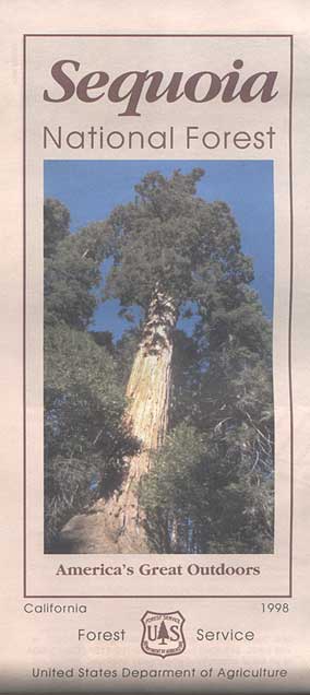
1998 Sequoia NF Map

Sequoia National Forest Maps
previous versions of this map:

Giant Sequoia Map

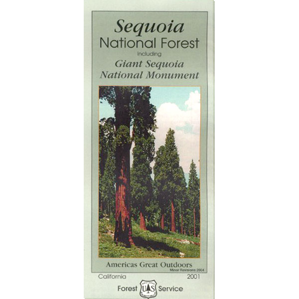
2001 Giant Sequoia Map USDA

see also
Sequoia Forest Topo Atlas
Sequoia National Park Maps
Mineral King Map
Dome Land Wilderness Map
Southern Sierra Wilderness Map
Golden Trout Wilderness Maps
Kern Recreation Map

Best Kern River Camping, Western Divide Giant Sequoia, Southern Sierra Nevada Mountains

topo maps south sierra

2022: Recent wildfires have taken a huge toll on the Sequoia groves of the Western Divide (Southern Sierra) and ancient groves inside the National Parks (Central Sierra). Forests all around Alta Sierra, California were burnt, as well as the paved route to Jerky Meadows.  Campgrounds could be closed, dirt roads gated and locked; hiking trails off limits. Visit the Sequoia National Forest web site for up-to-date info regarding closures.

horse trail maps

Sequoia & Kern River Links

Big Meadow Sequoia
Dispersed Camping Sequoia 
Kern Flats Free Camping
Kern River Campgrounds
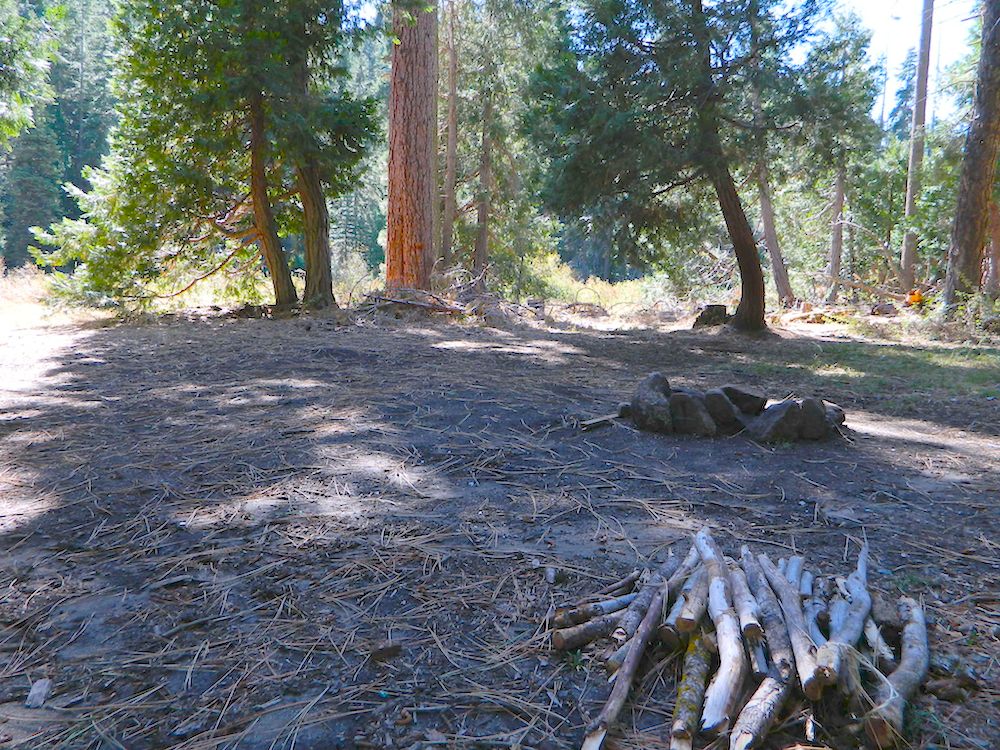
Kern River Camping
Kern River Canyon
Kern River Hot Springs
Lloyds Meadow Rd
Sequoia NF Camping
Sequoia OHV
Trail of 100 Giants Grove
Mountain Home State Forest

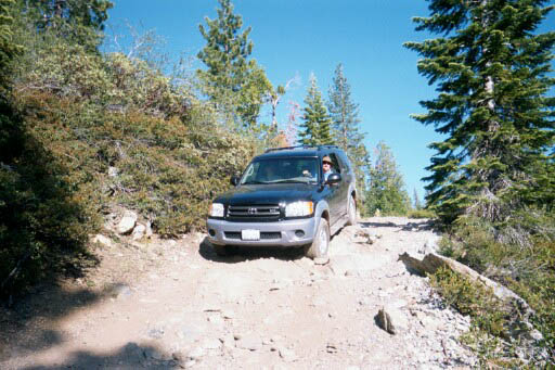
SequoiaSUV

Toyota Sequoia SUV 4×4

Kern River Camping, Giant Sequoia Park:

Sequoia National Forest

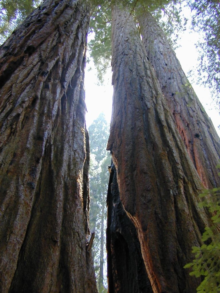
Giant Sequoia Pair

Giant Sequoia Pair

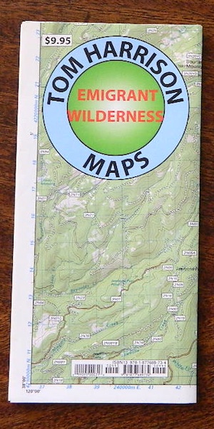
Emigrant Wilderness Trail Map

Emigrant Wilderness Trail Map
Tom Harrison Maps

Tom Harrison Trail Map: Emigrant Wilderness Trail Map, Sonora Pass Map, Sierra Nevada; Kennedy Meadows, CA. Pinecrest Lake, Dodge Ridge, Relief Reservoir, Leavitt Lake, Leavitt Meadows, The Dardanelles, Eagle Meadows; Sonora River fishing, Dardanelle CA. Durable, waterproof plastic map; Folded. Map Scale: 63.4K; ISBN# 9780989457910

emigrant

previous map

Emigrant Wilderness Map

Central Sierra Backpacking Trails:

Sonora Pass to Yosemite Highcountry

Backcountry access, hiking trails, horseback riding, cross country skiing, deep snow (over half the year), alpine lakes, granite peaks, creek canyon forests.

From Cherry Lake (4700′), Lake Eleanore (4657′) or Hetch Hetchy (3900′), up river, northward, wilderness routes up hill to Sonora Pass. Cherry Creek, Kendrick Creek, Bourland Creek, Lily Creek, Bell Creek, Herring Creek.

Pinecrest Lake (5616′), Emigrant Lake (8827′), Buck Lakes (8315′), Huckleberry Lake. Pacific Crest Trail (PCT) at Emigrant Pass, Grizzly Peak (10,365′), Sonora Pass (9625′) Highway 108

Backpacking trailheads are located at these places:

Cherry Lake @ Kibbie RidgeEmigrant Wilderness Trail Map

near Pinecrest Lake –

  • Bourland Creek @ Route #3N20Y
  • Lily Creek @ Route #3N28
  • Bell Meadow @ Route #4N25
  • Gianelli Cabin & Crabtree Route #4N34 (behind Donner Ridge Ski)
  • Three Meadows @ Route #4N12

near Dardanelle – 

  • Donnell Vista Point
  • Columns of the Giants
  • Seven Pines
  • Kennedy Meadows

Hoover Wilderness located directly to the east of Emigrant Wilderness.

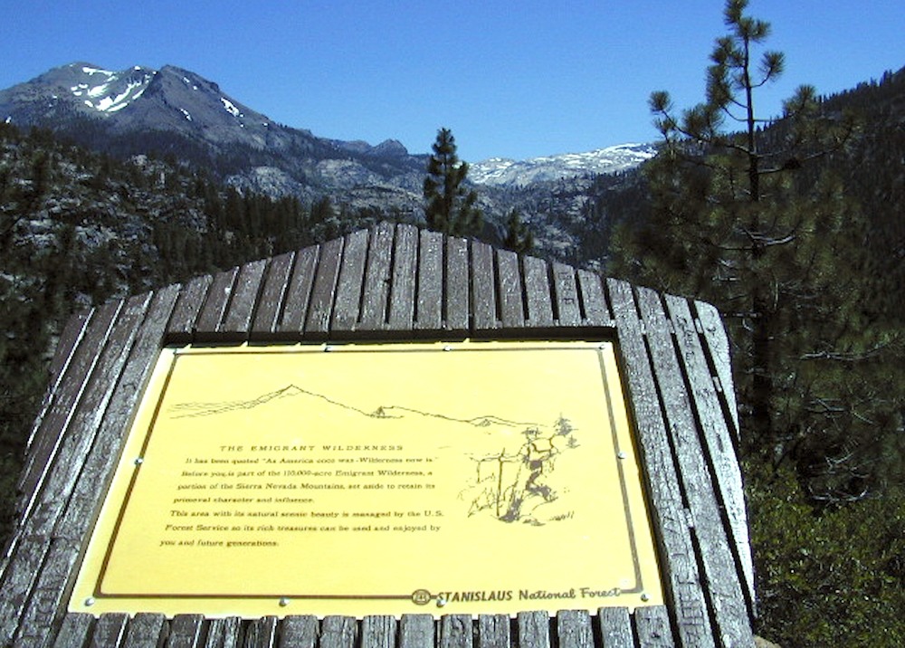
Stanislaus National Forest

Yosemite National Park 

nearby towns:Emigrant Wilderness Trail Map

"<yoastmark

see also –

Hoover Wilderness Map

Yosemite Maps by National Geographic
Yosemite Topo Maps by Tom Harrison
Stanislaus National Forest Map
Stanislaus Forest Atlas


Dome Land Wilderness Map

DomeLand Wilderness Map

Dome Land Wilderness MapUSDA published this paper map ages ago. Might be found at the Kernville Ranger Station.
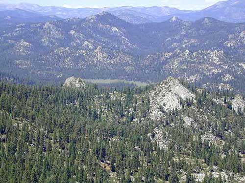
hikers mapDomeland Wilderness is located in the Southern Sierra, east of the Kern River, in an area known as the Kern Plateau. Granite domes, forest and meadows.


Dome Land Wilderness Map USDA

Domeland Wilderness

Dome Land Wilderness ( Part of Sequoia NF ) Perfect for a day hike reference or extended backpacking adventures. Scale = 1″ to mile; Printed on paper 1991

Dome Land Wilderness Map

Domeland, Sequoia National Forest

Dome Land, Sequoia National Forest, Domelands Southern Sierra, Wilderness, Trail, Map

Face it, the Kern River Canyon can get pretty busy and camping can be crowded on weekends. Look forward to exploring new trails and camps east of the river. Up Sherman’s Pass – onto secluded forests, with OHV trails, mountain bike trails, horseback riding trails, meadows and much more. Seeking the east side of Kern, for access to South fork of the Kern River, which runs near the PCT and through Kennedy Meadows, CA

Domeland Wilderness is situated in between the Chimney Peak Backcountry Byway and the Big Meadow Road #22S12

NFS Campgrounds nearby:camp map

BIG MEADOW Sequoia NF

forestandmeadow

Dome Land Wilderness Map

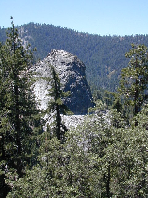
Granite, as viewed from Bald Mountain Fire Lookout, off Shermans Pass Road

Alternate Map for the Kern Plateau

see also – camp map

Southern Sierra Map
Sequoia National Forest Map
Sequoia Forest Topo Atlas
Golden Trout Wilderness Trail Map