Kern River Maps

Kern River Canyon Recreation Maps

Kern River Maps

Lower Kern River Trail

  • backpacking
  • boulders
  • camping
  • cedar groves
  • fishing
  • fire lookout towers
  • hiking
  • horseback riding
  • hot springs
  • hunting
  • mountain meadows
  • mountain biking
  • off-roading
  • rock climbing
  • sequoia groves
  • wildflowers

Kern River Map

Maps of the Kern River Canyon & vicinity:

Southern Sierra Map
Sequoia National Forest USDA Map

Dome Land Wilderness Map USDA
Golden Trout South Sierra Map USDA
Golden Trout Wilderness Map Tom Harrison
Jawbone Canyon, Kelso Valley OHV Map
Pacific Crest Trail Topo Map #3

Kern River Maps

Lake Isabella, from Caliente Bodfish Road

Kern River
Kern Plateau
Shermans Pass Road #22S05
Sierra Back Road Maps

Kern River Maps

Kern River Maps

Kern River Hot Springs

avenzabar

digital maps for download

BLM Topo Map – Lake Isabella, California
Tom Harrison Topo Map – Golden Trout Wilderness
Giant Sequoia Forest Map Topo
Pacific Crest Trail – Section G (Map Bundle)

USGS Topo Map – Alta Sierra, Shirley Mdws (free)
USGS Topo Map – Cannel Peak, Creek, Meadows (free)
USGS Topo Map – Johnsondale, Sequoia NF (free)

Kern River (north) OHV Guide Map
Kern River (south) OHV Guide Map
CTUC Inyo & Sequoia (south) OHV Map
USFS Winter Recreation Map – Sequoia NF (free)
USFS Winter Recreation Map – Western Divide, Sequoia (free)
USFS Map Sequoia MVUM – Kern River North (free)
Sequoia MVUM – Western Divide Map (free)
Inyo MVUM – Monache Mdws, South Fork Kern River (free)
Inyo MVUM – Southern Sierra OHV Trails (free)

California Deer Hunting Zone D8 – Kern Map
California Deer Hunting Zone X10 – South Sierra Map

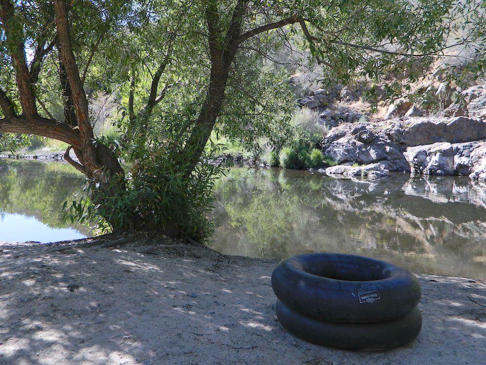
kern tube beaches

nearby towns:

Kern back road destinations:

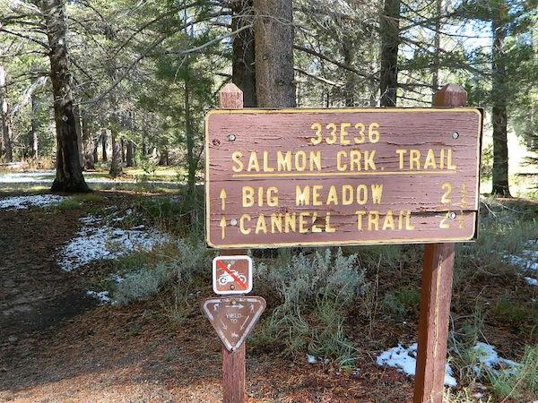
33E36trailhead

rinconcamp

Rincon Camp @ Sherman Pass Road

San Gabriel Mountains Map

San Gabriel Mountains
Topo Map Angeles

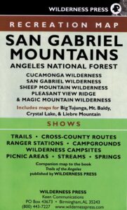
hikerWilderness Press makes this map specific to the San Gabriel Mountains, located high above the Los Angeles Basin, overlooking the southland. Numerous day hikes, backpacking trailheads, developed campgrounds, and back roads are displayed. Map includes the Wilderness Areas in this region, surrounding the Angeles Crest Highway 2.

San Gabriels Map

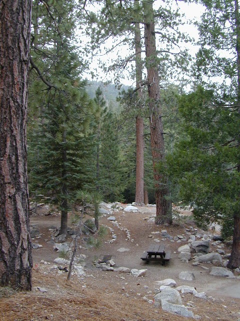
Campground

Campgrounds along Angeles Crest Hwy 2

see also – camp

Front Country Map
High Country Map
Los Angeles Map NatGeo
Angeles National Forest Map
Cucamonga Wilderness Map
Mount Baldy Map
Mount Wilson Map

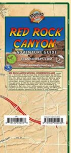
Red Rock Canyon Map

Red Rock Canyon Map

Spring Mountains
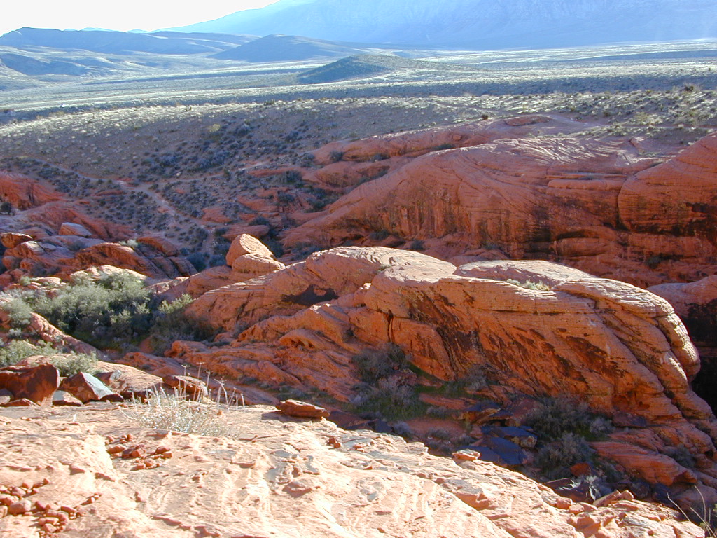
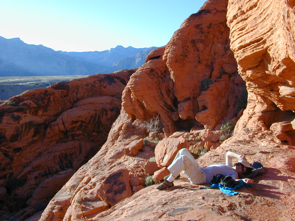
Red Rock Canyon
Vegas Hiking Map

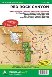
Red Rock BLM Map

Spring Mountains National Recreation Area / Red Rock Canyon National Conservation Area / Las Vegas District BLM

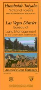
Red Rock Canyon Map – VEGAS RED ROCK: BLM & USFS paper map includes a few parks and hiking trails near Las Vegas, NV. Humboldt Toiyabe National Forest, BLM lands, Spring Mountains National Recreation Area, plus the very popular attraction, Red Rock Canyon (only minutes outside of the city). Nevada Travel Outdoors. USDA National Forest Map. Printed on paper in 1997.

Red Rock Canyon Map

Red Rock Canyon Maps

Red Rock Canyon Map

Franko Map Vegas

hikers map

best vegas outdoors

One of the cheapest winter vacations around – ONLY IF you can stay outta the casinos!

Desert day hikes, snow play, waterfalls (Mt Charleston) and petroglyphs (Valley of Fire), plus cheap hotel at night. Make VEGAS an outdoor destination, instead of an indoor, air-conditioned fantasy land.

camp map

Camping near Las Vegas can be windy during any time of year, or brutal triple-digit heat during the summer months.

Red Rock BLM Campground is located in a very windy location and situated near a busy main road. Best bet is to camp further up the mountain (Mount Charleston) – up in the canyons, with the trees, for a better experience. It can be colder in higher elevations, so always bring a jacket (at any time of year).

LOCALS TIP:
Valley of Fire State Park actually has a much better Campground than Red Rock. 

Vegas Hiking Map

see also –

Lake Mead Map
Flagstaff Sedona Map
Grand Canyon Maps
Mojave National Preserve Map
Death Valley Park Maps
Desert Maps
Eastern Sierra Maps
Arizona Books & Maps
Utah Maps

Death Valley Maps

Death Valley National Park Maps
Hiking, Camping, 4×4 Routes

Death Valley Maps

Artists Palette Drive (now paved)

Death Valley Trail Map

Topographical maps for DVNP can be found through Tom Harrison and National Geographic. Wilderness Press makes a couple of decent hiking books too.

Inyo National Forest Map from the USDA covers tall mountain peaks west of the National Park. Panamint Valley, Saline Valley, Darwin, Ballarat ghost town are all located on the west side and are also featured on these topographic maps.

National Park Map

Death Valley Recreation Map, Tom Harrison

Death Valley Topo Map

Tom Harrison Recreation Map: Death Valley Maps; Death Valley National Park CA, Furnace Creek, Stovepipe Wells. Eureka Dunes, The Racetrack, Panamint Valley Off Roading, 4×4 Death Valley, Skidoo, Shoshone, Darwin Falls, Darwin Wilderness, Eureka Dunes, Furnace Creek, Zabriskie Point, Stovepipe Wells, Teakettle Junction, 20 Mule Team Canyon, Goler Wash; Barker Ranch, Ballarat Ghost Town California Mining Districts, Mojave Mining Camps, Saline Valley Hot Springs; Durable, waterproof plastic map; Folded. Map Scale: 250K; ISBN# 9781877689574

digital mapsdownload digital version of this map –
Death Valley Park Recreation Map

Death Valley Desert Maps

Saline Hot Pools @ Saline Valley, DVNP

DEATH VALLEY MAP

OLD VERSION


nearby towns –

death valley map

REAL OLD MAP

Death Valley Maps

Trails Illustrated Map, National Geographic Death Valley National Park Map #221

Death Valley NatGeo Map

Trails Illustrated Map from National Geographic. Death Valley National Park map #221. Inyo Mountains, Inyo Desert Camping, Badwater, Telescope Peak, Panamint Valley, Panamint Range, Ballarat ghost town, Manson Cabin, Amargosa mountains, Death Valley Backcountry map. Hiking Map. Many, many dirt roads and old mining operations to explore. Very detailed & colorful. Waterproof Plastic Map; Tear Resistant. GPS data. ISBN#749717012219

California Desert Map

Death Valley Maps, Death Valley National Park, Furnace Creek, Stovepipe Wells, Eureka Dunes, Panamint Valley, Scotty’s Castle, Barker Ranch, Manson Ranch, Furnace Creek, Stovepipe Wells. Eureka Dunes, The Racetrack, Panamint Valley Off Roading, 4×4 Death Valley, Skidoo, Shoshone, Darwin Falls, Darwin Wilderness, Eureka Dunes, Furnace Creek, Zabriskie Point, Stovepipe Wells, Teakettle Junction, 20 Mule Team Canyon, Goler Wash; Barker Ranch, Ballarat Ghost Town California Mining Districts, Mojave Mining Camps, Saline Valley Hot Springs

hikers map