California Benchmark Atlas

Benchmark California Map

California Benchmark Atlas

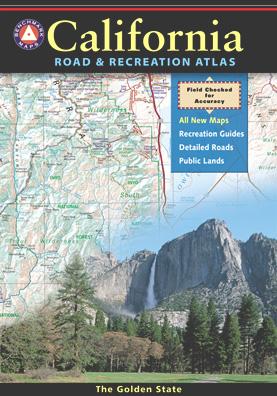
The best selling state atlas for the golden state – The California Road and Recreation Atlas

Benchmark California Atlas
California Driving Map. Topographic features, back roads map.

Best Overall Map: California Road & Recreation Atlas. This map books is the ideal state-wide map for any outdoor enthusiast. Excellent for exploring all of the golden state from the deserts of Southern California to the rivers of Northern California.

The Benchmark CA Atlas highlights include – all lakes, trailheads, Wilderness Areas, Campgrounds, National Forests, State Parks, National Parks, outdoor recreation destinations, plus extensive back roads (dirt & paved). This full color beauty is one of the most successful California map products of our time!

Recent editions have improvements: ground-cover detail at a very high-resolution.(forested, cultivated, marshland, desert, or scrub land). Extensively revised the 14-page Metro Map section; Complete Recreation Guide, page-to-page overlap and legendary accuracy. Printed on paper. 11th edition (2021) ISBN# 9781734315035

avenzabar

download this atlas w/ Avenza Maps

driftwood

California Benchmark Atlas


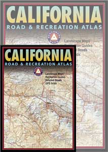
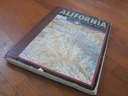
However, featured above is the current edition being sold but DanaMite actually prefers the look of the less-digitized version – the popular 2nd edition (printed in 2000), shown below. Easier to read maps, less text, less information overall, less busy looking.
California Benchmark Atlas

California Benchmark Atlas

Well Used, Well Loved. 2000, Second Edition

US 395 map

Benchmark US Hwy 395 Map

camp maps

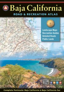
Baja California Atlas
by Benchmark Maps

baja benchmark atlas

see also –
Benchmark Atlases for other states
Timber Trail Route

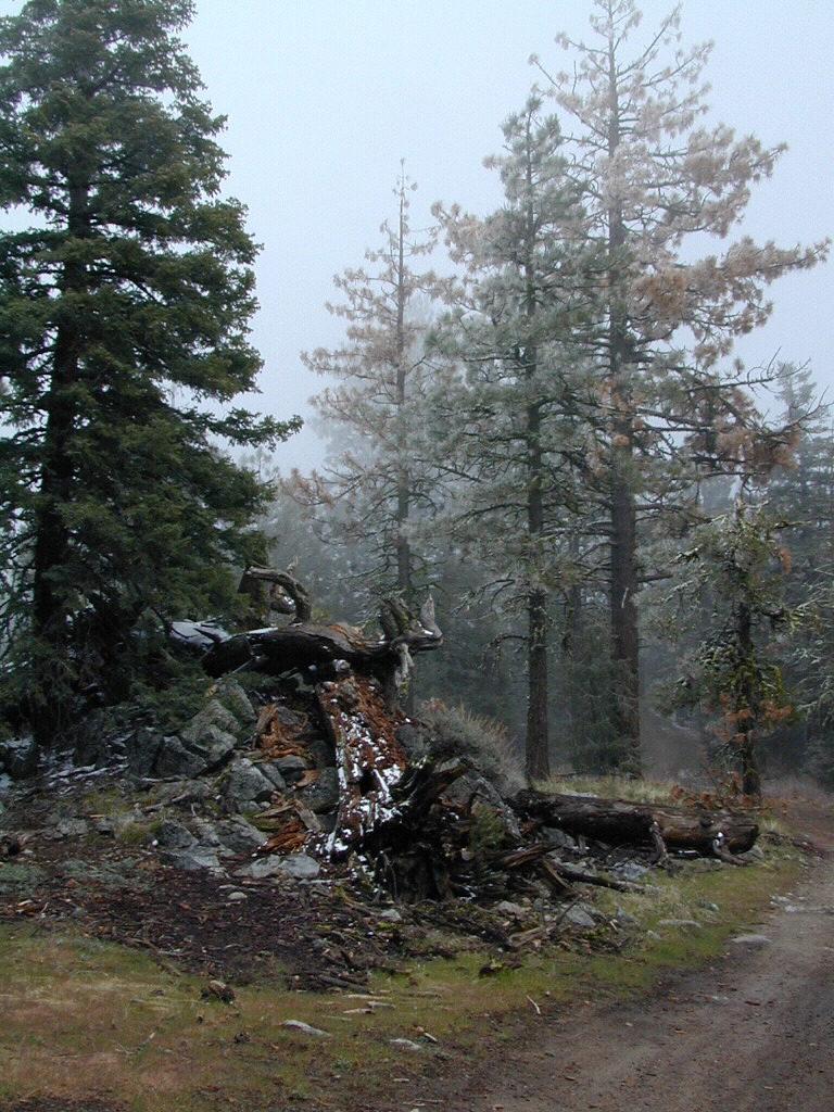
Timber Trail Route, Los Padres NF
 

Recreation Ads

Get Listed & Linked on California’s Total Escape

Recreation Listings for California


This advertising choice is for recreation businesses only; live link placed within Total Escape.com > RECREATION

Businesses include: kayak rental shops, horseback riding, mountain outfitters, limousines, wineries, bike rentals, marinas or cruises, RV campgrounds, hot air balloons, rock climbing guides, fly fishing professionals, snow ski resorts, 4×4 tours, scuba dive shops, motorcycle rentals, sightseeing bus charters, firewood dealers and so on. If you do not see a similar type of company listed on our vast web site, then find out first if a link is possible.

Recreation Listings for California

The image for ad can be a logo or a photo. JPG 200×200. Make your business listing really stand out with the best deal on the web. Listing your business with us will only help your web traffic and overall exposure with our ancient web site (online since 1996).

ANNUAL LISTING:
Best deal in California – Ads for Dirt Cheap!

Recreation Listings for California

Get more exposure directed to your website with a link from Total Escape. Online over 2 decades, we do have the traffic to drive you wild.

We get a million ‘page views’ per month and that number doubles in the summertime. Outdoorsy travelers find what they need on our California site. About 22% of our traffic is return visitors.

Advertise your travel industry related business with Total Escape. This is for an annual listing & link for a business website, local to California.

Lodge Listing

cabins
Get linked on Total Escape.

ANNUAL LISTING: Best deal in local California advertising!

Businesses include: bed & breakfasts, historic inns, hot springs, river resorts, snow ski resorts, fishing lodges, vacation homes, mountain cabins, yurts, guest ranches, farm stays, retreats, RV camps, beach bungalows, and any non-chain hotel, motels, etc

motels

Total Escape does not list the large, national chains for lodging. We only specialize in the rural areas of California – getting the urban population out to your neck of the woods.

This annual advertising is for a text listing with link to be placed live on Total Escape.com > LODGE. Basic Listing for Lodges, or choose a Deluxe Ad with a photo.

On a slow month (during winter) we are able to push over 60,000 viewers to our lodging pages.
click here to see some stats

bajaresorts
Get more exposure directed to your website with a link from Total Escape. Online 21 years – we have the traffic to drive you wild. Outdoorsy travelers find what they need on our 8000 page web site. Advertise your travel industry related business with Total Escape today!


Lodge Listings for California

Lodge Listings for California

Lodge Listings for California

Sierra Nevada Topo Map

Sierra Nevada Maps

Lake Maps

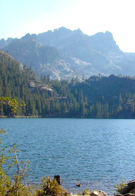
Sierra Buttes, North Sierra Nevada

Sierra Nevada: NatGeo Destination Map

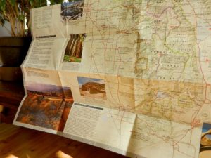
National Geographic makes a really nice overview map for the Sierra Nevada mountains. They call it a “Destination Map” and it has color photos, features areas of interest, highways, park boundaries. Shaded relief topographic, 2-sided, full color and folded. ISBN# 9781597754491

Sierra Nevada map

Decent overview map for planning out trips and getting a good feel as to the ‘lay of the land’. Much of the mountain range can only be crossed on foot, as there are no roads across the mid-section!

Sierra Map National Geographic

Click to Expand

  • canyons
  • forests
  • highways
  • lakes
  • parks
  • peaks
  • reservoirs
  • rivers
  • small towns

Sierra Mountains Map

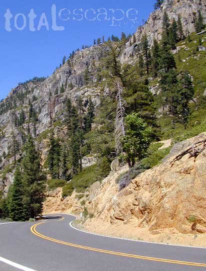
Sonora Pass, Highway 108, Central Sierra Nevada

natgeo maps

imus map

IMUS Sierra Nevada Topo Map

Sierra Nevada Map published by Imus Geographics, features all outdoor recreation – for just about any adventure seeker or tourist. A great overview map w/ trail heads, paved roads & camping. Map shows Sierra Rivers & Lakes, Sierra hiking trails, backpacking routes, National Parks, all Sierra Wilderness Areas, towns, Campgrounds. From Mount Lassen to Tehachapi Pass. Topographical map can be used for trip planning, routing, driving to Sierra destinations, reference. Map SCALE 500K; High-strength paper map. Folded size = 6 inches x 9 inches / Topo California High Sierra. First Edition 2006. ISBN# 9780966534528

Imus Sierra Nevada Wall Map

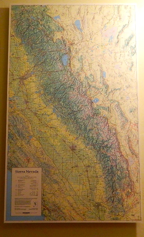
Imus Sierra Nevada Map, mounted wall map


Sierra Maps

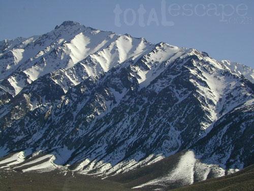
Eastern Sierra = extreme mountain peaks

pct topo map
PCT TOPO MAP

see all
Sierra Nevada wilderness
& topo maps